Browse / Canada / Quebec / Lévis
Lévis
Quebeccity

Lévis
Total population
143,414
Founded
2002
Demographic figures from Statistics Canada. Overview below cites Wikipedia and may reference a different year.
City facts
Sister cities
Facts from Wikidata (CC0).
Overview
Lévis is a city in eastern Quebec, Canada, located on the south shore of the St. Lawrence River, opposite Quebec City. A ferry links Old Quebec with Old Lévis, and two bridges, the Quebec Bridge and the Pierre-Laporte Bridge, connect western Lévis with Quebec City.
Read more on WikipediaHistory & geography
History
First Nations and prehistoric indigenous peoples settled in this area for thousands of years due to its ideal location at the confluence of the Chaudière and the St. Lawrence rivers. Many archeological sites reveal evidence of human occupation dating to 10,000 BP. Some historians theorize that Pointe-Lévy could have been one of the main centres of Native American population development in what became the province of Québec. In 1636, approximately 28 years after the French founded Quebec City, the seignory of Lauzon was founded on the eastern part of this territory. In the following years, other seignories were founded near the St. Lawrence River. Pointe-Lévy was primarily developed as an agricultural domain, in which several land-owners ("Seigneurs") controlled their part of land in a medieval feudal system. The land of the Lauzon seignory remained unoccupied until 1647, when Guillaume Couture became the first French settler installed by Quebec City. Couture was serving as the first Administrator, Chief Magistrate, Captain of the Militia, and member of the Sovereign Council; he was widely considered a hero among colonists in New France. Couture, however, was not the first 'Seigneur' of the Lauzon Seignory, as the land had been previously owned by Jean de Lauson (French Governor between 1651 and 1657). During the Seven Years' War, in the summer of 1759, British General James Wolfe established a camp in the territory of Pointe-Lévy and laid siege to Quebec City. The siege succeeded. After being under bombardment for three months and fighting the English in the battle on the Plains of Abraham in front of the walls, Quebec fell to the British. During this time, Pointe-Lévy served as the main encampment of the British army in the Quebec area. The constant cannon firing…
Geography
Lévis covers an area of : 10% urban, 48% farmlands, 36% forests and 6% wetlands. In addition to the Saint Lawrence River, the Etchemin and Chaudière rivers also run through the city before ending their journey into the Saint Lawrence. The Chaudière River also boasts a waterfall with a suspended bridge, which can be accessed from Autoroute 73. Lévis County existed until January 1982 when it was divided into Desjardins Regional County Municipality and Les Chutes-de-la-Chaudière Regional County Municipality. On January 1, 2002, ten cities were merged by the Quebec provincial government to form the new city of Lévis. Previously, the former cities of Lauzon and Saint-David-de-l'Auberivière had been merged to Lévis in 1989. The regional county municipalities of which these cities were a part ceased to exist. The new city was divided into three arrondissements or boroughs. Desjardins, Les Chutes-de-la-Chaudière-Ouest and Les Chutes-de-la-Chaudière-Est, which correspond to most of the territory of the former RCMs (however, Saint-Henri and Saint-Lambert-de-Lauzon remained independent and did not amalgamate into Lévis). The ten former municipalities are today districts (secteurs) within the city; each of the three boroughs is composed of either three or four districts. *Lévis (pre-2002 borders of the city) *Charny *Pintendre *Sainte-Hélène-de-Breakeyville *Saint-Étienne-de-Lauzon *Saint-Jean-Chrysostome *Saint-Joseph-de-la-Pointe-de-Lévy *Saint-Nicolas *Saint-Romuald *Saint-Rédempteur The pre-2002 Lévis had already merged with Lauzon and Saint-David-de-l'Auberivière in 1989. Lévis has a humid continental climate (Köppen Climate Classification Dfb) with large variation between summer and winter. The city features two brief transition seasons (spring and autumn), while…
Excerpted from the corresponding Wikipedia article (CC BY-SA).
Geography
Coordinates & boundaries from the US Census TIGER/Line shapefiles.
Climate
Air quality
Walkability
Amenities nearby
Wildlife & biodiversity
Most-observed species
- Black-capped ChickadeePoecile atricapillus (Linnaeus, 1766) · Aves89,168
- American CrowCorvus brachyrhynchos C.L.Brehm, 1822 · Aves82,405
- American GoldfinchSpinus tristis (Linnaeus, 1758) · Aves61,429
- MallardAnas platyrhynchos Linnaeus, 1758 · Aves52,497
- Song SparrowMelospiza melodia (A.Wilson, 1810) · Aves50,887
- American RobinTurdus migratorius Linnaeus, 1766 · Aves49,245
- Ring-billed GullLarus delawarensis Ord, 1815 · Aves43,655
- White-breasted NuthatchSitta carolinensis Latham, 1790 · Aves37,943
Citizen-science & research observations from the Global Biodiversity Information Facility (GBIF).
Earthquake history
Most recent
- M 2.7 — 2026-08-033 km SSW of L'Ancienne-Lorette, Canada
- M 2.7 — 2025-10-221 km SW of Beaupré, Canada
- M 2.7 — 2021-08-0912 km E of Bécancour, Canada
- M 2.6 — 2021-06-14St. Lawrence Valley region, Quebec, Canada
- M 2.5 — 2020-04-293 km WNW of St-Jean-Port-Joli, Canada
- M 3.3 — 2019-08-2915 km NW of St-Jean-Port-Joli, Canada
Events from the USGS Earthquake Catalog (global) (FDSN Event Web Service).
Photos
Sights & places nearby
Notable people from here


People born within ~10 km, from Wikidata (CC0). Click any name for their Wikipedia article.
Nearby places in Quebec
- Sainte-Pétronille3.7 mi away
- L'Ange-Gardien8.8 mi away · pop. 2,946
- Saint-Laurent-de-l'Île-d'Orléans9 mi away
- Wendake9.1 mi away · pop. 2,134
- Saint-Henri9.3 mi away
- Saint-Charles-de-Bellechasse11.4 mi away
- Château-Richer13.8 mi away · pop. 4,425
- Saint-Gervais15 mi away
- Saint-Lambert-de-Lauzon15.1 mi away
- La Durantaye15.4 mi away
- Saint-Anselme15.5 mi away
- Lac-Delage15.7 mi away
Geography & sun
Elevation, sunrise/sunset and daylight from Open-Meteo. Solar climatology from NASA POWER.
Nearby airports
Public attention
Pageview totals from the Wikimedia Pageviews API.
Books about Lévis


Search results from Open Library.
Recent natural events nearby
Ground air-quality sensors
Recently spotted species
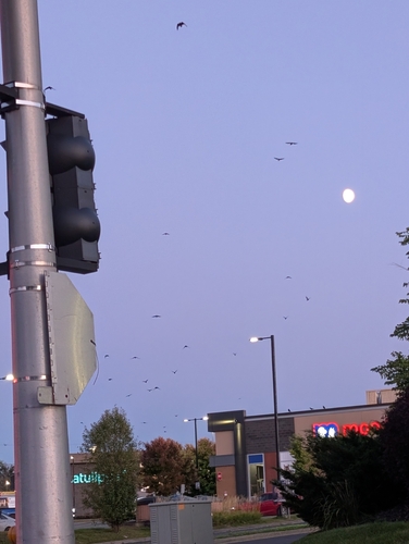
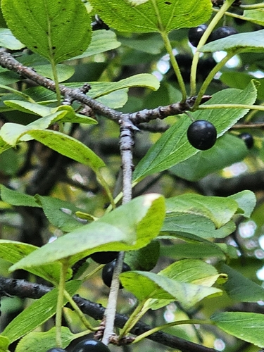
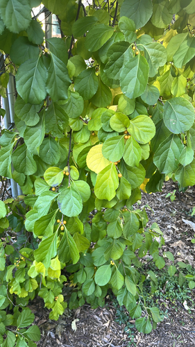
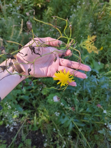
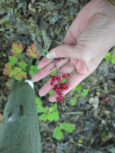
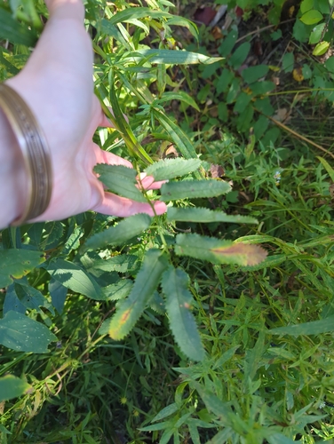
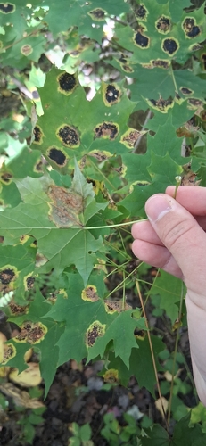
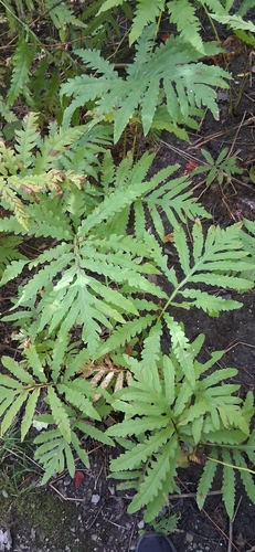
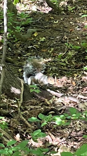
Research-grade observations from iNaturalist (within ~15 mi).
Events
Gallery
Official Identifiers
StatCan — Statistics Canada
- SGC code
- 2425213
- Population (Wikidata)
- 149,683
- Wikidata
- Q139208
Standard Geographical Classification (SGC) via Wikidata P3012
Sources
- • Wikipedia
- • Wikidata
- • USGS Earthquake Catalog (global feed)
- • GBIF (Global Biodiversity Information Facility)
- • iNaturalist
- • Open-Meteo / sunrise-sunset.org
- • Wikipedia Pageviews API
- • Open Library
- • StatCan — Statistics Canada — Standard Geographical Classification (SGC) via Wikidata P3012