Browse / United States / California / Manteca
Manteca
Californiacity

Manteca
Total population
94,283
Median home value
$617,300
Bachelor's+
Median income
$111,790
Founded
1861
Air quality index
Demographic figures from US Census Bureau · ACS 5-year estimates. Overview below cites Wikipedia and may reference a different year.
- Heat Advisory · ModerateHeat Advisory issued October 1 at 9:34AM PDT until October 5 at 10:00PM PDT by NWS Sacramento CA
Source: NOAA National Weather Service.
City facts
Facts from Wikidata (CC0).
Overview
Manteca is a city in San Joaquin County, California. The city had a population of 83,498 as of the 2020 Census. It is part of the Stockton-Lodi, CA Metropolitan Statistical Area.
Read more on WikipediaHistory & geography
History
Manteca is a city in the Central Valley of California, located east of San Francisco and 18 miles (29 kilometers) northwest of Modesto. The Manteca area was first inhabited by Yokuts. Manteca was formally established in 1861 by Joshua Cowell. Cowell claimed around and built houses on what is now the corner of Main and Yosemite, where Bank of America now stands. In 1873, the Central Pacific Railroad laid track directly through the area. The residents wanted to refer to their new train station as "Cowell Station", but there was already a Cowell Station near Tracy. The residents agreed to change the name of the community, choosing "Monteca" as the new name. This was misprinted as "Manteca" (Spanish for lard) by the railroad, In 1918, Manteca was incorporated as a city, and Joshua Cowell became its first mayor. In 1935, photojournalist Dorothea Lange took photos of William & Mary Dimotakis (immigrants from the Greek island of Crete), and their youngest child, son George, on the family farm in Manteca for the Farm Security Administration. The farm, near the industrial park area, is still owned by the Dimotakis family. The images can be found in the [https://www.loc.gov/search/?in=&q=Dimotakis&new=true&st= Library of Congress]. Manteca fashions itself the "Family City", and it lies at a crossroads of major highways and railroads. As recently as the 1970s, Manteca existed primarily on agriculture and was still barely a stop between two freeways, Interstate 5 and State Route 99. The continuing rise in Bay Area housing prices caused Bay Area families to look further eastward for more affordable places to live. Since the construction of the 120 bypass portion of State Route 120, Manteca has become a popular choice for these commuters. The 1990s saw an increase in…
Geography
According to the United States Census Bureau, the city has a total area of , 99.89% of it land and 0.11% of it water. Neighboring towns include Lathrop, Ripon, Escalon, and Tracy. Manteca is located approximately 18 miles northwest of Modesto and 15 miles south of Stockton. According to the Köppen Climate Classification system, Manteca has a hot-summer mediterranean climate, abbreviated "Csa" on climate maps. It is hot and dry in summer, and mild or cool in winter, except during spells of seasonal tule fog, when it can be quite chilly for many days. In December 2025, there were about 2 weeks during which the temperature failed to exceed 46 Fahrenheit. Summers are exceptionally dry, whereas winters are rainy with stretches of fair weather.
Excerpted from the corresponding Wikipedia article (CC BY-SA).
Demographics & economy
Race & ethnicity
Source: US Census Bureau — American Community Survey, 5-year estimates.
Geography
Coordinates & boundaries from the US Census TIGER/Line shapefiles.
Climate
10-year averages from ERA5 reanalysis (Open-Meteo).
Current forecast
Forecast for Manteca, CA from NOAA NWS API.
Air quality
Current readings from Open-Meteo Air Quality API (Copernicus CAMS European reanalysis).
Industrial & pollution facilities
Natural hazard risk
Health (adults)
Age-adjusted prevalence estimates from CDC PLACES (latest release).
Walkability
Amenities nearby
Wildlife & biodiversity
Most-observed species
- California/Woodhouse's Scrub-JayAphelocoma californica (Vigors, 1839) · Aves5,621
- House FinchHaemorhous mexicanus (P.L.Statius Müller, 1776) · Aves5,337
- European StarlingSturnus vulgaris Linnaeus, 1758 · Aves4,672
- Black PhoebeSayornis nigricans (Swainson, 1827) · Aves4,557
- Northern MockingbirdMimus polyglottos (Linnaeus, 1758) · Aves4,363
- Anna's HummingbirdCalypte anna (R.Lesson, 1829) · Aves4,174
- Eurasian Collared-DoveStreptopelia decaocto (Frivaldszky, 1838) · Aves4,080
- KilldeerCharadrius vociferus Linnaeus, 1758 · Aves3,478
Citizen-science & research observations from the Global Biodiversity Information Facility (GBIF).
Schools
Largest nearby schools
- Manteca HighHigh · Manteca · 1,811 students · 20.3:1 ratio
- California Connections Academy Northern CaliforniaOther · Ripon · 1,766 students · 35.3:1 ratio
- Sierra HighHigh · Manteca · 1,693 students · 23.5:1 ratio
- Venture AcademyOther · Stockton · 1,644 students · 20.8:1 ratio
- East Union HighHigh · Manteca · 1,593 students · 20.4:1 ratio
- Lathrop HighHigh · Lathrop · 1,535 students · 21.3:1 ratio
- Weston Ranch HighHigh · Stockton · 1,265 students · 20.7:1 ratio
- George McParland ElementaryElementary · Manteca · 1,157 students · 25.7:1 ratio
Public K–12 schools within ~10 mi from Urban Institute Education Data Portal (NCES Common Core of Data, 2022).
Earthquake history
Most recent
- M 2.63 — 2026-09-2726 km WSW of Westley, CA
- M 3.32 — 2026-09-2727 km WSW of Westley, CA
- M 2.51 — 2026-09-1910 km ENE of Milpitas, CA
- M 2.56 — 2026-09-1721 km E of Alum Rock, CA
- M 2.99 — 2026-09-149 km SW of Brentwood, CA
- M 3.12 — 2026-09-129 km ENE of Blackhawk, CA
Events from the USGS Earthquake Catalog (global) (FDSN Event Web Service).
Photos
Sights & places nearby
Notable people from here


People born within ~10 km, from Wikidata (CC0). Click any name for their Wikipedia article.
Nearby places in California
Geography & sun
Nearby airports
Public attention
Books about this place
Recent natural events nearby
- Wildfire GANN, Calaveras, CaliforniaWildfires · 2026-08-03 · 33 mi
- Wildfire DOME, Mariposa, CaliforniaWildfires · 2026-09-15 · 89 mi
- Wildfire Timber, Monterey, CaliforniaWildfires · 2026-08-09 · 112 mi
- Wildfire FLORISTON, Nevada, CaliforniaWildfires · 2026-09-16 · 128 mi
- Wildfire Plaskett, Monterey, CaliforniaWildfires · 2026-08-26 · 131 mi
- Wildfire FELIZ, Mendocino, CaliforniaWildfires · 2026-08-01 · 134 mi
- Wildfire LUCAS, Lake, CaliforniaWildfires · 2026-09-10 · 138 mi
- Wildfire LUCAS, Lake, CaliforniaWildfires · 2026-09-10 · 138 mi
Wildfires, storms and other events from NASA EONET (last 12 months, within 250 mi).
Ground air-quality sensors
Recently spotted species
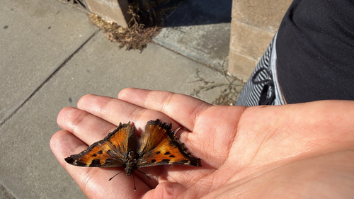
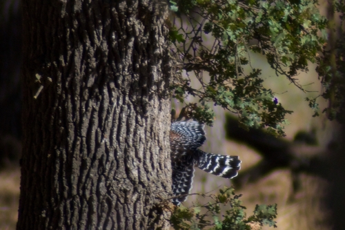
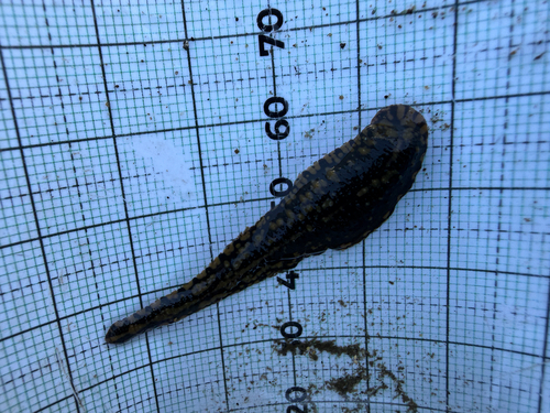
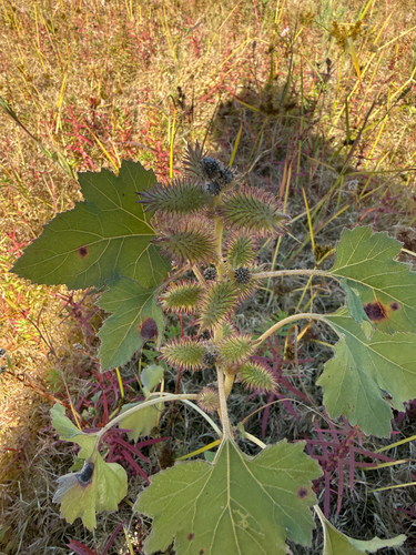
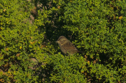
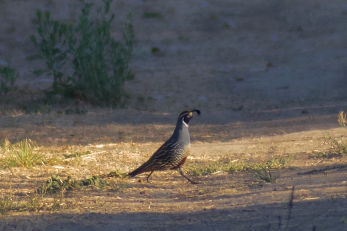
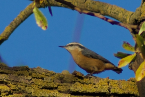
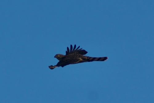
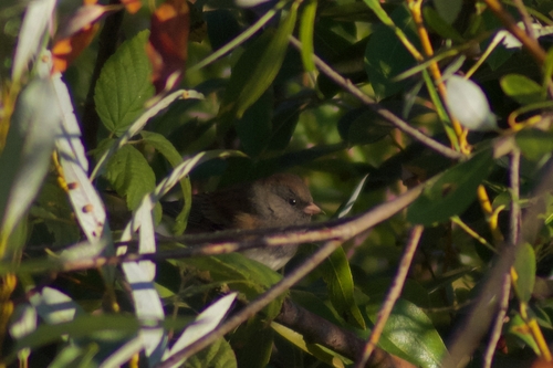
Research-grade observations from iNaturalist (within ~15 mi).
Nearest stream gauge
Events
Gallery
Sources
- • Wikipedia
- • US Census Bureau (ACS 5-year estimates)
- • Open-Meteo (ERA5 reanalysis)
- • NOAA National Weather Service
- • Wikidata
- • Open-Meteo Air Quality (CAMS)
- • USGS Earthquake Catalog (global feed)
- • NCES via Urban Institute Education Data Portal
- • GBIF (Global Biodiversity Information Facility)
- • iNaturalist
- • CDC PLACES
- • NASA EONET