Browse / Canada / Ontario / Matheson
Matheson
Ontariovillage

Matheson
Demographic figures from Statistics Canada. Overview below cites Wikipedia and may reference a different year.
City facts
Facts from Wikidata (CC0).
Overview
Black River-Matheson is a township in the Cochrane District of the Canadian province of Ontario. The municipality is astride the Black River, for which it is partly named. The Matheson railway station was serviced by the Northlander until 2012.
Read more on WikipediaHistory & geography
History
Settlement of Matheson began in 1907 at the same time that the Temiskaming and Northern Ontario Railway was built in the area, and was originally called McDougall Chute, named after Baziel McDougall, a local trapper. It was renamed in 1912 in honour of Colonel Arthur J. Matheson. Prospecting started in 1909. The Croesus Mine (1914–1918) became "one of the richest mines in Canada". Gold was like "plums in pudding" and "one gold nugget was egg shaped, two inches long and one and a quarter across." A total of 16 companies operated in the Harker Holloway area from 1917 to 1925, including Harker Gold Mines. P.A. McDermott found a gold-bearing zone in 1922, which became American Barrick's Holt-McDermott Mine in 1988. Located in the Abitibi greenstone belt, the mine produced 60,000 ounces of gold in 1994. The Great Fire of 1916 left 243 dead. In 1945, the Township of Black River was incorporated, consisting of the geographic townships of Stock, Taylor, Carr, Beatty, Bond, Currie, Bowman, Hislop, and part of Walker. In 1969, the Township of Black River and the Town of Matheson merged to form the Township of Black River-Matheson, and in 1973, it was enlarged through the addition of Playfair Township and Kingham Improvement District.
Excerpted from the corresponding Wikipedia article (CC BY-SA).
Geography
Coordinates & boundaries from the US Census TIGER/Line shapefiles.
Climate
Air quality
Walkability
Amenities nearby
Wildlife & biodiversity
Most-observed species
- Blue JayCyanocitta cristata (Linnaeus, 1758) · Aves900
- Red-winged BlackbirdAgelaius phoeniceus (Linnaeus, 1766) · Aves854
- Black-capped ChickadeePoecile atricapillus (Linnaeus, 1766) · Aves832
- Mourning DoveZenaida macroura (Linnaeus, 1758) · Aves752
- American CrowCorvus brachyrhynchos C.L.Brehm, 1822 · Aves639
- Hairy WoodpeckerLeuconotopicus villosus (Linnaeus, 1766) · Aves592
- Common GrackleQuiscalus quiscula (Linnaeus, 1758) · Aves578
- American RobinTurdus migratorius Linnaeus, 1766 · Aves568
Citizen-science & research observations from the Global Biodiversity Information Facility (GBIF).
Earthquake history
Most recent
- M 2.5 — 2010-12-165 km WSW of Kirkland Lake, Canada
- M 3.7 — 2006-01-0368 km NNW of Iroquois Falls, Canada
Events from the USGS Earthquake Catalog (global) (FDSN Event Web Service).
Photos
Sights & places nearby
Notable people from here


People born within ~10 km, from Wikidata (CC0). Click any name for their Wikipedia article.
Nearby places in Ontario
Geography & sun
Nearby airports
Public attention
Books about this place
Recent natural events nearby
Ground air-quality sensors
Recently spotted species
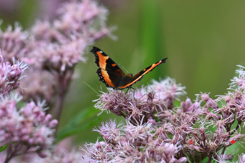
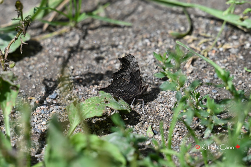
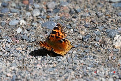
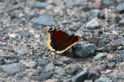
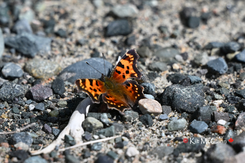
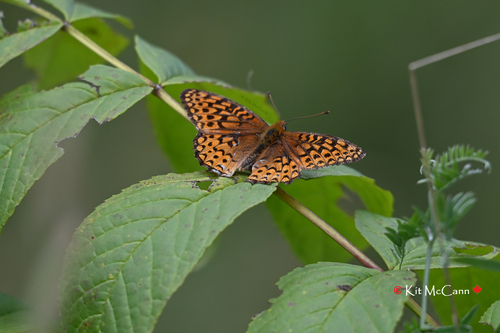
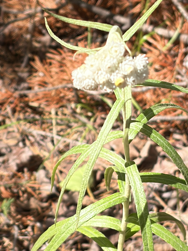
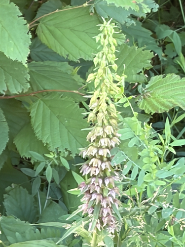
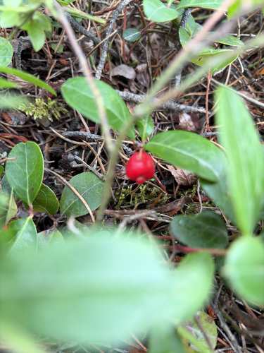
Research-grade observations from iNaturalist (within ~15 mi).
Events
Gallery
Sources
- • Wikipedia
- • Wikidata
- • USGS Earthquake Catalog (global feed)
- • GBIF (Global Biodiversity Information Facility)
- • iNaturalist