Browse / Canada / Alberta / Medicine Hat
Medicine Hat
Albertacity

Medicine Hat
Total population
56,997
Founded
1883
Air quality index
Demographic figures from Statistics Canada. Overview below cites Wikipedia and may reference a different year.
City facts
Facts from Wikidata (CC0).
Overview
Medicine Hat is a city in southeast Alberta, Canada. It is located along the South Saskatchewan River, west of the Saskatchewan border. It is approximately 169 kilometres (105 mi) east of Lethbridge, and 295 km (183 mi) southeast of Calgary. The city and the adjacent Town of Redcliff to the northwest are within Cypress County. Medicine Hat was the eighth-largest city in Alberta in 2021 with a population of 63,271. It is also the sunniest place in Canada according to Environment and Climate Change Canada, averaging 2,544 hours of sunshine a year.
Read more on WikipediaHistory & geography
History
The name "Medicine Hat" is an English interpretation of Saamis – the Blackfoot word for the eagle tail feather headdress worn by medicine men. Several legends are associated with the name of a mythical mer-man river serpent named Soy-yee-daa-bee – the Creator – who appeared to a hunter and instructed him to sacrifice his wife to get mystical powers which were manifested in a special hat. Another legend tells of a battle long ago between the Blackfoot and the Cree in which a retreating Cree "Medicine Man" lost his headdress in the South Saskatchewan River. A number of natural factors have always made Medicine Hat a gathering place. The gently sloping valley with its converging waterways and hardy native cottonwood trees attracted both the migratory bison herds which passed through the area, and humans who used the waterways and hunted the bison. Before Europeans arrived, the historic Blackfoot, Cree and Assiniboine nations used the area for hundreds of years, and were preceded for thousands of years by previous indigenous cultures. Beginning in 1971, archeological excavations supervised by scholars from Medicine Hat College (MHC) were conducted at what became known as Saamis Archeological Site along Seven Persons Creek, near a historic Blackfoot buffalo jump. These revealed numerous artifacts associated with bands of First Nations ancestors, known as the Old Women's Phase to archeologists. They found "quantities of stone tools, fire cracked rock, butchered bone and pottery", marking this as an important spot. Most of the bones were identified as bison. Additional excavations were conducted in 1972 and 1973, and a field school for college students was based there. They "excavated and mapped over 3,200 sq. ft. of living floors and nearly 80 features including hearths…
Geography
The Medicine Hat landscape is dominated by the South Saskatchewan River valley. In addition, the tributaries Seven Persons Creek and Ross Creek both flow into the South Saskatchewan River within the boundaries of the city. These waterways have cut a dramatic valley landscape with numerous cliffs, and finger coulees throughout the city. Beyond the city and river valley, the land is flat to slightly rolling and is characterized by short-grass vegetation. Located about to the east at lies the Badlands Guardian Geological Feature. It is a landscape formation taking the form of a head wearing a feathered headdress. The head is wide. It is in inverse relief, formed by valleys rather than raised ground. During the 2013 Alberta floods Medicine Hat, located on the South Saskatchewan River downstream from the confluence of the Bow and Oldman Rivers was hit with significant flooding. The city evacuated 10,000 residents ahead of the flooding, and facilities including the Medicine Hat Arena had begun to flood late Sunday evening, June 23. The South Saskatchewan River peaked at , which was below earlier predictions of , but exceeded the highest recorded rate of in 1995. *Cottonwood – A community located above the Cottonwood golf course, between the light industrial area and the airport. Overlooks the World's Largest Teepee. *Crescent Heights – Mainly built in the 1950s through to the 1960s. Located on the north side of city on the entire ridge above the river valley. *Crestwood and Norwood – This is an older area of town mainly built in the 1950s. It is located on a plateau southeast of the South Flats and the Seven Person's Creek. The Medicine Hat Exhibition & Stampede grounds is within this area. *Hamptons - A four-phase neighbourhood approved for development in 2005. It…
Excerpted from the corresponding Wikipedia article (CC BY-SA).
Geography
Coordinates & boundaries from the US Census TIGER/Line shapefiles.
Climate
10-year averages from ERA5 reanalysis (Open-Meteo).
Air quality
Current readings from Open-Meteo Air Quality API (Copernicus CAMS European reanalysis).
Walkability
Amenities nearby
Wildlife & biodiversity
Most-observed species
- Black-billed MagpiePica hudsonia (Sabine, 1823) · Aves3,823
- Black-capped ChickadeePoecile atricapillus (Linnaeus, 1766) · Aves3,751
- Northern FlickerColaptes auratus (Linnaeus, 1758) · Aves3,724
- American RobinTurdus migratorius Linnaeus, 1766 · Aves3,470
- Canada Goose (canadensis Group)Branta canadensis (Linnaeus, 1758) · Aves3,134
- European StarlingSturnus vulgaris Linnaeus, 1758 · Aves2,995
- House FinchHaemorhous mexicanus (P.L.Statius Müller, 1776) · Aves2,875
- American CrowCorvus brachyrhynchos C.L.Brehm, 1822 · Aves2,502
Citizen-science & research observations from the Global Biodiversity Information Facility (GBIF).
Earthquake history
Events from the USGS Earthquake Catalog (global) (FDSN Event Web Service).
Photos
Sights & places nearby
Notable people from here


People born within ~10 km, from Wikidata (CC0). Click any name for their Wikipedia article.
Nearby places in Alberta
- Murray Lake Hutterite Colony13.8 mi away
- Irvine18.9 mi away
- Winnifred Hutterite Colony20 mi away
- Elkwater Hutterite Colony28.8 mi away
- Elkwater31.7 mi away · pop. 84
- Bow Island33.4 mi away
- Roseglen Hutterite Colony37.9 mi away
- Burdett40.2 mi away
- Shamrock Hutterite Colony40.3 mi away
- Mayfield Hutterite Colony40.7 mi away
- Manyberries44.4 mi away
- Sunrise Hutterite Colony48.8 mi away
Geography & sun
Elevation, sunrise/sunset and daylight from Open-Meteo. Solar climatology from NASA POWER.
Nearby airports
Public attention
Pageview totals from the Wikimedia Pageviews API.
Books about Medicine Hat


Search results from Open Library.
Recent natural events nearby
- Wildfire Middle Coulee, Chouteau, MontanaWildfires · 2026-08-02 · 160 mi
- Wildfire Camp Creek, Powell, MontanaWildfires · 2026-08-21 · 212 mi
- Wildfire Skillet, Lincoln, MontanaWildfires · 2026-07-29 · 217 mi
- Wildfire Ant Park, Meagher, MontanaWildfires · 2026-07-31 · 228 mi
- Wildfire Deer Creek, Lincoln, MontanaWildfires · 2026-08-20 · 238 mi
Wildfires, storms and other events from NASA EONET (last 12 months, within 250 mi).
Ground air-quality sensors
Recently spotted species
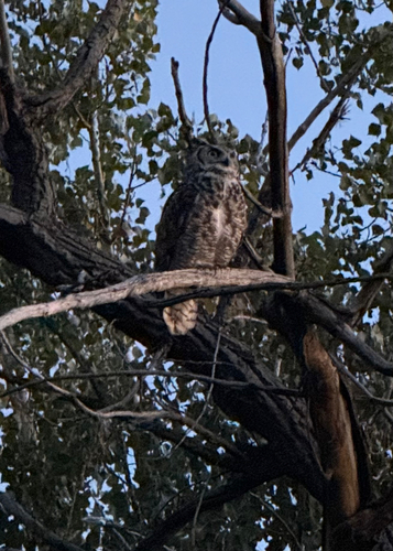
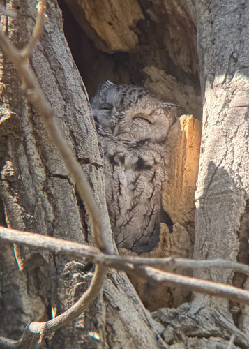
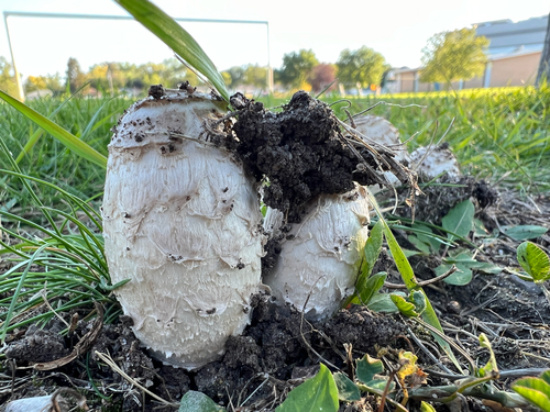
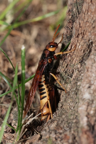
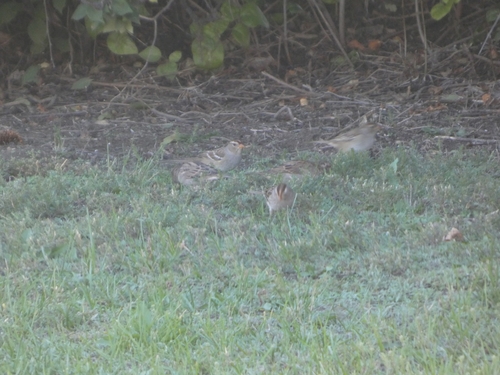
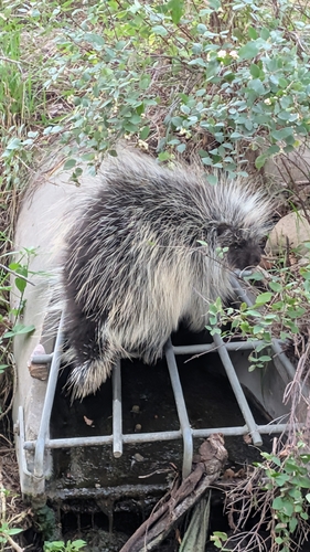
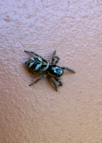
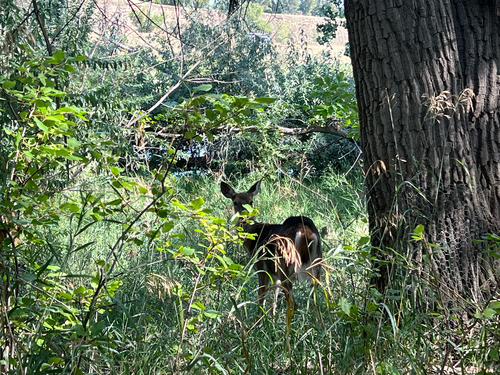
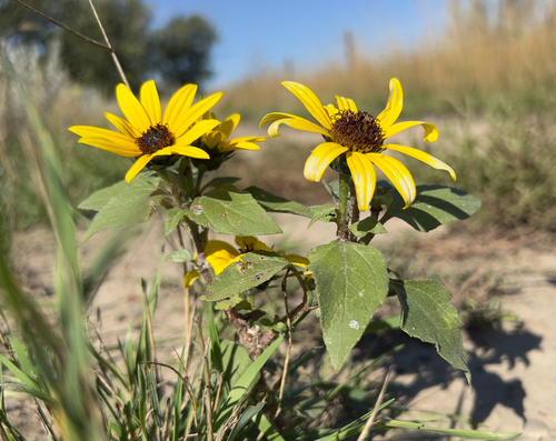
Research-grade observations from iNaturalist (within ~15 mi).
Events
Gallery
Geotagged photos within ~6 miles of Medicine Hat, from Wikimedia Commons contributors.
.jpg) 0.1 mi
0.1 mi 0.2 mi
 0.3 mi
.jpg) 0.5 mi
0.5 mi_(cropped).jpg) 0.5 mi
0.5 mi 1.1 mi
 1.3 mi
.jpg) 1.5 mi
1.5 mi.jpg) 1.5 mi
1.5 mi.jpg) 1.5 mi
1.5 mi.jpg) 1.5 mi
1.5 mi.jpg) 1.5 mi
1.5 mi.jpg) 1.5 mi
1.5 mi.jpg) 1.5 mi
1.5 mi.jpg) 1.5 mi
1.5 mi.jpg) 1.5 mi
1.5 mi.jpg) 1.5 mi
1.5 mi.jpg) 1.5 mi
1.5 mi.jpg) 1.5 mi
1.5 mi.jpg) 1.5 mi
1.5 mi.jpg) 1.5 mi
1.5 mi.jpg) 1.5 mi
1.5 mi.jpg) 1.5 mi
1.5 mi.jpg) 1.5 mi
1.5 miPhotos via Wikimedia Commons — see each image page for license & attribution.
Official Identifiers
StatCan — Statistics Canada
- SGC code
- 4801006
- Population (Wikidata)
- 63,271
- Wikidata
- Q368241
Standard Geographical Classification (SGC) via Wikidata P3012
Sources
- • Wikipedia
- • Open-Meteo (ERA5 reanalysis)
- • Wikimedia Commons
- • Wikidata
- • Open-Meteo Air Quality (CAMS)
- • USGS Earthquake Catalog (global feed)
- • GBIF (Global Biodiversity Information Facility)
- • iNaturalist
- • Open-Elevation
- • Open-Meteo / sunrise-sunset.org
- • Wikipedia Pageviews API
- • Open Library
- • NASA EONET
- • StatCan — Statistics Canada — Standard Geographical Classification (SGC) via Wikidata P3012