Browse / United States / California / Menlo Park
Menlo Park
Californiacity

Menlo Park
Total population
32,727
Median home value
$2,000,001
Bachelor's+
Median income
$210,025
Demographic figures from US Census Bureau · ACS 5-year estimates. Overview below cites Wikipedia and may reference a different year.
- Coastal Flood Advisory · MinorCoastal Flood Advisory issued October 1 at 12:20PM PDT until October 2 at 6:00PM PDT by NWS San Francisco CA
- Heat Advisory · ModerateHeat Advisory issued October 1 at 9:43AM PDT until October 4 at 10:00PM PDT by NWS San Francisco CA
Source: NOAA National Weather Service.
City facts
Sister cities
Facts from Wikidata (CC0).
Overview
Menlo Park is a city in San Mateo County in the San Francisco Bay Area of California, United States. Located at the eastern edge of the county, It is bordered by San Francisco Bay on the north and east; East Palo Alto, Palo Alto, and Stanford to the south; and Atherton, North Fair Oaks, and Redwood City to the west. It had 33,780 residents at the 2020 United States census. Part of Silicon Valley, it is home to the corporate headquarters of Meta Platforms, and is where Google, Roblox Corporation, Round Table Pizza, and SRI International were founded. The train station holds the record as the oldest continually operating train station in California. It is one of the most educated cities in California and the United States; nearly 70% of residents over 25 have earned a bachelor's degree or higher.
Read more on WikipediaHistory & geography
History
The area of Menlo Park was inhabited by the Ohlone people when the Portolá expedition arrived in 1769. In 1795, the Rancho de las Pulgas Spanish land grant was made that included the area of the current city. Before and during the 1849 Gold Rush, successful businessmen from San Francisco, like Faxon Atherton and George C. Johnson began investing in real estate on this portion of the peninsula located midway between San Francisco and San Jose. In 1851, two Irish immigrants, Dennis J. Oliver and his brother-in-law, D.C. McGlynn, purchased a tract of land on the former Rancho de las Pulgas. In 1854, they erected a gate with a wooden arch bearing the inscription "Menlo Park" and the date "August 1854" at the entrance to their property (now the intersection of Middle Ave and El Camino Real). The wooden gate was modeled after the stone gate that stands at the entrance to the Menlo Castle estate in Menlo, Ireland. In 1863, the San Francisco and San Jose Rail Road had built the railroad from San Francisco to as far as Mayfield (now California Avenue station in Palo Alto) and started running trains to the area. They named a nearby station "Menlo Park" after the sign. The original arch, which gave its name to the stations and ultimately, the city, survived until 1922, when it was destroyed in an automobile accident. In the autumn of 1918, a flu pandemic hit Camp Fremont and killed 147. Although the camp was dismantled after the war, its hospital was retained, today the site of a Veterans Administration Hospital off Willow Road in Menlo Park. At the start of World War II, the US government bought the estate of Timothy Hopkins from his widow and created the Palo Alto General Hospital, later renamed the Dibble General Hospital (after Colonel John Dibble, who was killed in…
Geography
According to the United States Census Bureau, the city has a total area of , of which are land and are covered by water. San Francisquito Creek marks much of the southeastern border of the city. West Menlo Park (unincorporated area) along Alameda de las Pulgas nearly separates the southwestern part of the city (known as Sharon Heights) from the rest. The extreme southwest is clipped by Interstate 280. The Bayshore Freeway (part of U.S. Route 101) traverses Menlo Park from northwest to southeast near the shoreline, and somewhat parallel to the Bayshore Freeway to the southwest is El Camino Real. The intersection of El Camino Real and Santa Cruz Avenue is considered the heart of the city. The Menlo Park Civic Center is nearby. Other major roads include Sand Hill Road in the Sharon Heights area.
Excerpted from the corresponding Wikipedia article (CC BY-SA).
Demographics & economy
Race & ethnicity
Source: US Census Bureau — American Community Survey, 5-year estimates.
Geography
Coordinates & boundaries from the US Census TIGER/Line shapefiles.
Climate
Current forecast
Forecast for Menlo Park, CA from NOAA NWS API.
Air quality
Industrial & pollution facilities
Natural hazard risk
Health (adults)
Walkability
Amenities nearby
Wildlife & biodiversity
Schools
Earthquake history
Photos
Sights & places nearby
Notable people from here


People born within ~10 km, from Wikidata (CC0). Click any name for their Wikipedia article.
Nearby places in California
- North Fair Oaks3.1 mi away
- Los Altos Hills7.8 mi away · pop. 8,377
- Portola Valley9.2 mi away
- La Honda12.7 mi away
- Fairview14.8 mi away · pop. 10,745
- Millbrae16.2 mi away · pop. 22,689
- El Granada17.5 mi away
- East Foothills19.5 mi away · pop. 7,139
- Norris Canyon20.4 mi away
- Pescadero20.6 mi away
- Piedmont24.1 mi away
- Moraga25.3 mi away
Geography & sun
Elevation, sunrise/sunset and daylight from Open-Meteo. Solar climatology from NASA POWER.
Nearby airports
Public attention
Pageview totals from the Wikimedia Pageviews API.
Books about Menlo Park

Search results from Open Library.
Recent natural events nearby
- Wildfire GANN, Calaveras, CaliforniaWildfires · 2026-08-03 · 87 mi
- Wildfire Timber, Monterey, CaliforniaWildfires · 2026-08-09 · 91 mi
- Wildfire Plaskett, Monterey, CaliforniaWildfires · 2026-08-26 · 116 mi
- Wildfire FELIZ, Mendocino, CaliforniaWildfires · 2026-08-01 · 118 mi
- Wildfire LUCAS, Lake, CaliforniaWildfires · 2026-09-10 · 130 mi
- Wildfire LUCAS, Lake, CaliforniaWildfires · 2026-09-10 · 130 mi
- Wildfire DOME, Mariposa, CaliforniaWildfires · 2026-09-15 · 139 mi
- Wildfire FLORISTON, Nevada, CaliforniaWildfires · 2026-09-16 · 175 mi
Wildfires, storms and other events from NASA EONET (last 12 months, within 250 mi).
Ground air-quality sensors
Recently spotted species
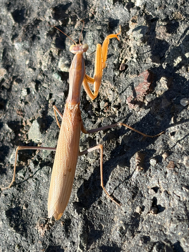
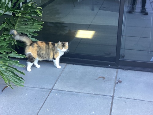
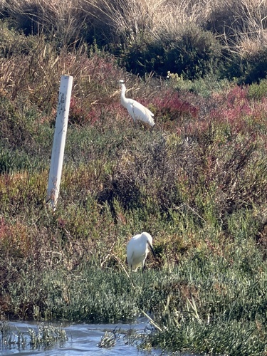
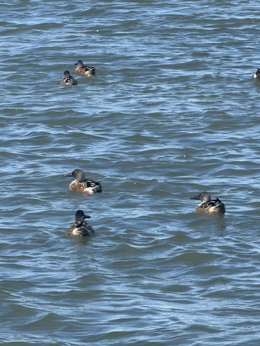
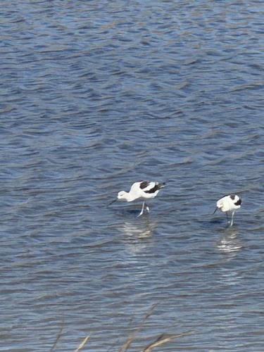
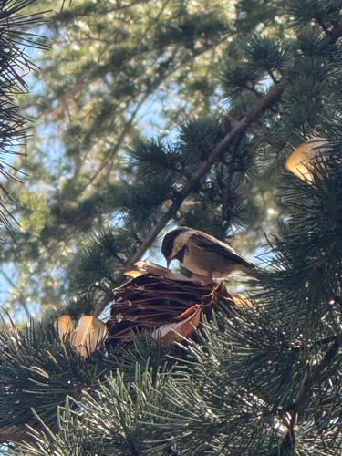
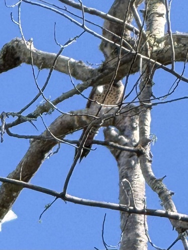
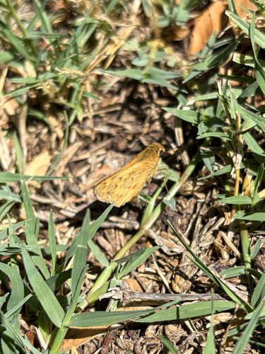
Research-grade observations from iNaturalist (within ~15 mi).
Nearest stream gauge
Events
Gallery
Sources
- • Wikipedia
- • US Census Bureau (ACS 5-year estimates)
- • NOAA National Weather Service
- • Wikidata
- • iNaturalist
- • Open-Meteo / sunrise-sunset.org
- • Wikipedia Pageviews API
- • Open Library
- • NASA EONET