Browse / Canada / British Columbia / Mesachie Lake
Mesachie Lake
British Columbiahamlet
Demographic figures from Statistics Canada. Overview below cites Wikipedia and may reference a different year.
City facts
Overview
Mesachie Lake is an unincorporated community in the Cowichan Valley region of Vancouver Island, British Columbia, Canada. It lies on the south shore of Cowichan Lake, British Columbia. The name is from the Chinook Jargon for "bad, evil, naughty". It was founded in 1942 by the Hillcrest Lumber Company, which built houses for its workers and their families. This company also planted many non-native fruit and shade trees which have since been given heritage status.
Read more on WikipediaHistory & geography
Geography
Coordinates & boundaries from the US Census TIGER/Line shapefiles.
Climate
Air quality
Walkability
Amenities nearby
Wildlife & biodiversity
Earthquake history
Photos
Sights & places nearby
Notable people from here

People born within ~10 km, from Wikidata (CC0). Click any name for their Wikipedia article.
Nearby places in British Columbia
- Honeymoon Bay2.4 mi away
- Youbou5.5 mi away · pop. 966
- Glenora17.5 mi away
- Diamond18.8 mi away
- Saltair18.9 mi away · pop. 1,184
- S’amuna’ / Somena18.9 mi away
- South Forks19.4 mi away
- Xwulqw’selu / Koksilah20.3 mi away
- Kwa’mutsun / Quamichan20.6 mi away
- Extension21.4 mi away · pop. 267
- North Oyster21.4 mi away
- Lhumlhumuluts’ / Clemclemluts21.7 mi away
Geography & sun
Elevation, sunrise/sunset and daylight from Open-Meteo. Solar climatology from NASA POWER.
Nearby airports
Public attention
Pageview totals from the Wikimedia Pageviews API.
Books about this place
Recent natural events nearby
- Wildfire Electric, Whatcom, WashingtonWildfires · 2026-08-22 · 123 mi
- Wildfire Thunder Creek, Skagit, WashingtonWildfires · 2026-08-22 · 142 mi
- Wildfire SISI, Chelan, WashingtonWildfires · 2026-08-14 · 154 mi
- Wildfire KING, Kittitas, WashingtonWildfires · 2026-08-19 · 161 mi
- Wildfire GOAT, Kittitas, WashingtonWildfires · 2026-08-22 · 170 mi
- Wildfire SINLAHEKIN, Okanogan, WashingtonWildfires · 2026-07-26 · 202 mi
- Wildfire PEARL HILL, Douglas, WashingtonWildfires · 2026-07-25 · 215 mi
- Wildfire HIGH LAVA, Skamania, WashingtonWildfires · 2026-07-23 · 223 mi
Wildfires, storms and other events from NASA EONET (last 12 months, within 250 mi).
Ground air-quality sensors
Recently spotted species
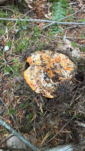
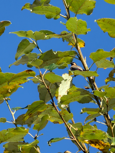
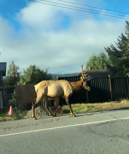
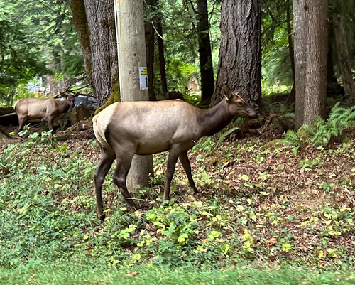
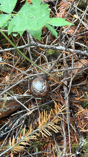
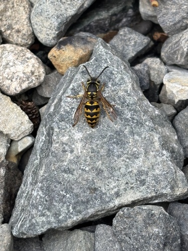
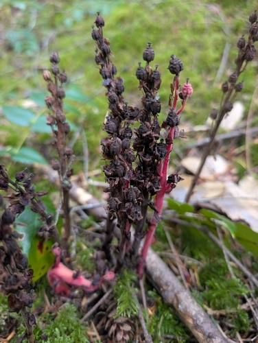
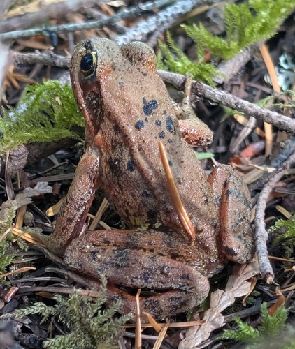
Research-grade observations from iNaturalist (within ~15 mi).
Events
Gallery
Sources
- • Wikipedia
- • Wikidata
- • iNaturalist
- • Open-Meteo / sunrise-sunset.org
- • Wikipedia Pageviews API
- • NASA EONET