Browse / Canada / Ontario / Moose Factory
Moose Factory
Ontariotown

Moose Factory
Total population
2,458
Founded
1673
Demographic figures from Statistics Canada. Overview below cites Wikipedia and may reference a different year.
City facts
Facts from Wikidata (CC0).
Overview
Moose Factory is a community in the Cochrane District, Ontario, Canada. It is located on Moose Factory Island, near the mouth of the Moose River, which is at the southern end of James Bay. It was the first English-speaking settlement in lands now making up Ontario and the second Hudson's Bay Company post to be set up in North America after Fort Rupert.
Read more on WikipediaHistory & geography
History
The Cree are an indigenous people of the Subarctic, who historically hunted and gathered in seasonal migrations. In summer, they travelled on waterways by canoe: fishing and harvesting berries and other food staples. In fall, they hunted waterfowl along the shores of James Bay. Prior to winter, Cree families travelled to their winter settlements, where they hunted and trapped big game and small, fur-bearing animals. Prior to spring thaw, the families hunted waterfowl as they migrated north. This was an historical, annual cycle for the Moose Cree prior to European colonization of the Americas. The first European to explore the area was Pierre-Esprit Radisson, an employee of the Hudson's Bay Company (HBC), in the winter of 1670/71, setting out from the base at Rupert House (present-day Waskaganish). In 1673, Charles Bayly, overseas governor of the Hudson's Bay Company, established a fur-trading post called Moose Fort. The fort was located on traditional Môsonîw Ililiw (Moose Cree) lands. As a result of the establishment of the fort, Cree congregated in and around the fur trade post and became exposed to European customs.In addition to trading, the site was also intended to protect the company's interests from French traders to the south. The fort was profitable and had a negative impact on the fur trade in New France. So in 1686, the Chevalier de Troyes led a small contingent of French soldiers north on an expedition to raid Hudson's Bay Company forts. The English defenders were caught by total surprise and surrendered. The French captured Moose Fort and renamed it to Fort St. Louis. After ten years of French control, the English recaptured the fort in 1696 and burned it to the ground. No trace has remained of this original fort. In 1713, after the English and French…
Geography
The community is located on Moose Factory Island, an island in Moose River about from its mouth at James Bay. Politically, the northern two-thirds of the island are controlled by the Moose Cree First Nation band government as the Factory Island 1 reserve, while the southern third is part of the Unorganized Cochrane District of Ontario. The border of these two political entities runs halfway between Museum Street and Nabechich Street. Moose Factory Island is part of the poorly drained, sparsely forested Hudson Bay Lowlands. It is flat and made up of marine clay, underlain by sedimentary rocks, mainly limestone, dolomite and shale. Being situated close to James Bay, Moose Factory Island is affected by the Arctic tides which rise and fall twice daily, varying as much as from high to low tide. The north end of the island is tree covered land. The Moose Factory and Moosonee area has a very cold humid continental climate (Köppen Dfb). The climate data is from Moosonee, around to the west.
Excerpted from the corresponding Wikipedia article (CC BY-SA).
Geography
Coordinates & boundaries from the US Census TIGER/Line shapefiles.
Climate
Air quality
Walkability
Amenities nearby
Wildlife & biodiversity
Most-observed species
- Common RavenCorvus corax Linnaeus, 1758 · Aves566
- Canada Goose (canadensis Group)Branta canadensis (Linnaeus, 1758) · Aves378
- White-throated SparrowZonotrichia albicollis (J.F.Gmelin, 1789) · Aves362
- American CrowCorvus brachyrhynchos C.L.Brehm, 1822 · Aves361
- Ring-billed GullLarus delawarensis Ord, 1815 · Aves321
- Yellow WarblerSetophaga petechia (Linnaeus, 1766) · Aves300
- Bald EagleHaliaeetus leucocephalus (Linnaeus, 1766) · Aves295
- Swamp SparrowMelospiza georgiana (Latham, 1790) · Aves284
Citizen-science & research observations from the Global Biodiversity Information Facility (GBIF).
Earthquake history
Most recent
- M 4.1 — 2025-11-1539 km NNE of Moosonee, Canada
- M 4.2 — 2012-05-0275 km NNW of Moosonee, Canada
Events from the USGS Earthquake Catalog (global) (FDSN Event Web Service).
Photos
Sights & places nearby
Notable people from here


People born within ~10 km, from Wikidata (CC0). Click any name for their Wikipedia article.
Nearby places in Ontario
Geography & sun
Elevation, sunrise/sunset and daylight from Open-Meteo. Solar climatology from NASA POWER.
Nearby airports
Public attention
Pageview totals from the Wikimedia Pageviews API.
Books about Moose Factory


Search results from Open Library.
Recent natural events nearby
Ground air-quality sensors
Recently spotted species
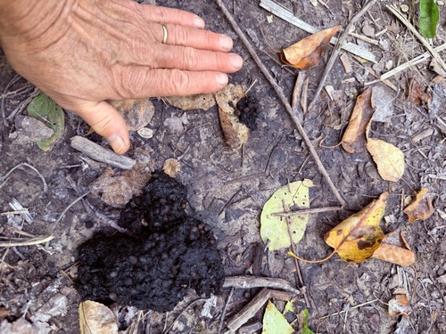
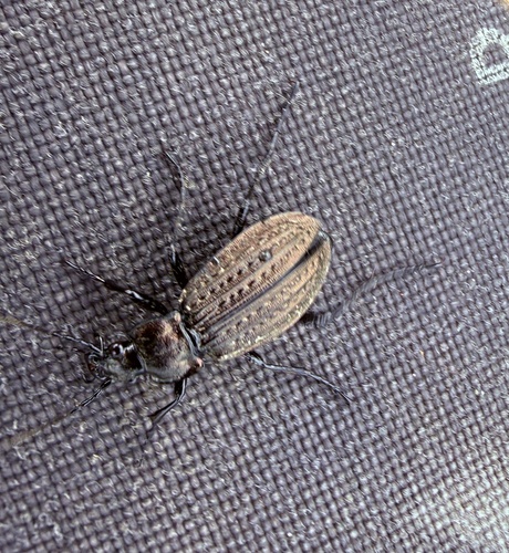
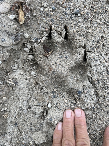
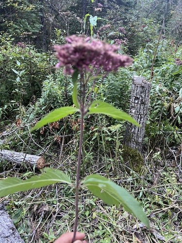
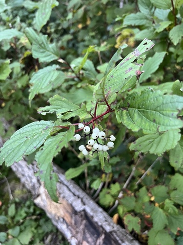
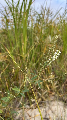
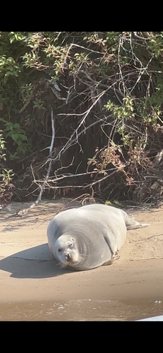
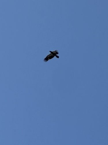
Research-grade observations from iNaturalist (within ~15 mi).
Events
Gallery
Sources
- • Wikipedia
- • Wikidata
- • USGS Earthquake Catalog (global feed)
- • GBIF (Global Biodiversity Information Facility)
- • iNaturalist
- • Open-Meteo / sunrise-sunset.org
- • Wikipedia Pageviews API
- • Open Library