Browse / Canada / Manitoba / Neepawa
Neepawa
Manitobatown

Neepawa
Total population
3,629
Demographic figures from Statistics Canada. Overview below cites Wikipedia and may reference a different year.
City facts
Overview
Neepawa is a town in Manitoba, Canada, on the Yellowhead Highway at the intersection with Highway 5.
Read more on WikipediaHistory & geography
History
In the many years before European settlement, the lands around Neepawa were primarily used by the Cree and the Assiniboine. Native peoples in the area followed a regular cycle by following the Plains Bison to take shelter in the areas north of Neepawa in the winter, and then heading south again across the plains and beyond Neepawa in the summer. Prior to settlement, the only Europeans in the area were primarily fur traders, many people made their way through the area on the North Fort Ellice Trail which went from the Red River to Edmonton. David Howard Harrison who owned a private bank in Neepawa was elected Premier of Manitoba in 1887. Neepawa's first hospital was completed in 1904 and had the capacity for 20 patients. The hospital included a nursing school. Neepawa's first school opened in 1881. It was a three-story building finally completed in 1898 and used until 1928. The Neepawa Salt Company mined salt here from 1932 until 1970. Author Margaret Laurence wrote several books through the 1960s and 1970s, depicting the town under the name of Manawaka. On May 12, 2010 Neepawa was the host of Manitoba's 140th birthday party. The town was chosen as the site of the festivities as a result of winning a contest within the province. Between the years of 2011 and 2016, the population of Neepawa jumped by almost 27%, following an influx of Filipino immigrants, brought over by the establishment of a local pork processing plant.
Geography
Neepawa lies on the Manitoba Escarpment, the rolling hills around Neepawa are typical of the escarpment. Neepawa lies within the Canadian Prairies, the region around Neepawa is defined as Aspen parkland. Although Neepawa is part of the prairies the area to the north is heavily forested parkland. Riding Mountain National Park and Duck Mountain Provincial Park lie to the north, are part of this parkland, and are also an extension of the escarpment. The boreal forest which extends all the way across Canada and is also found to the north of Neepawa. Spruce Woods Provincial Park is located about 60 km south of the town. Neepawa lies at the source of the Whitemud River, it is also about 40 km east of the Little Saskatchewan River, a tributary of the Assiniboine River which is 60 km south of the town. The town is also about 60 km west of Lake Manitoba, one of the largest lakes in Manitoba.
Excerpted from the corresponding Wikipedia article (CC BY-SA).
Geography
Coordinates & boundaries from the US Census TIGER/Line shapefiles.
Climate
Air quality
Walkability
Amenities nearby
Wildlife & biodiversity
Earthquake history
Photos
Sights & places nearby
Notable people from here


People born within ~10 km, from Wikidata (CC0). Click any name for their Wikipedia article.
Nearby places in Manitoba
- Spring Hill Hutterite Colony5.6 mi away
- Franklin8.9 mi away
- Eden10.2 mi away
- Rolling Acres Hutterite Colony12.9 mi away
- Odessa Hutterite Colony13.7 mi away
- Cool Spring Hutterite Colony14.4 mi away
- Sprucewood Hutterite Colony14.6 mi away
- Odanah Hutterite Colony16.3 mi away
- Minnedosa16.5 mi away · pop. 2,517
- Riverdale Hutterite Colony18.9 mi away
- Plumas20 mi away
- Emerald Hutterite Colony20.5 mi away
Geography & sun
Elevation, sunrise/sunset and daylight from Open-Meteo. Solar climatology from NASA POWER.
Nearby airports
Public attention
Pageview totals from the Wikimedia Pageviews API.
Books about Neepawa
Search results from Open Library.
Recent natural events nearby
Ground air-quality sensors
Recently spotted species
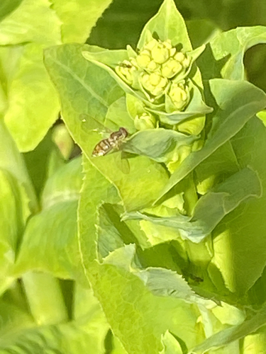
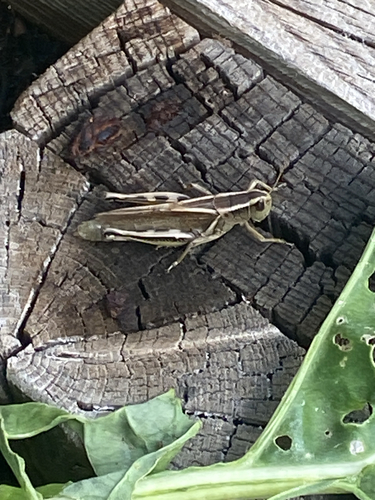
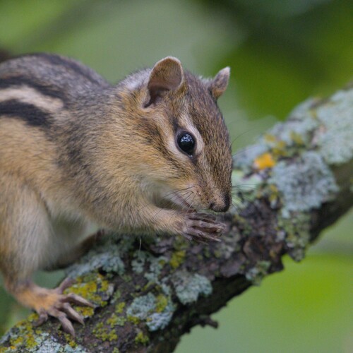
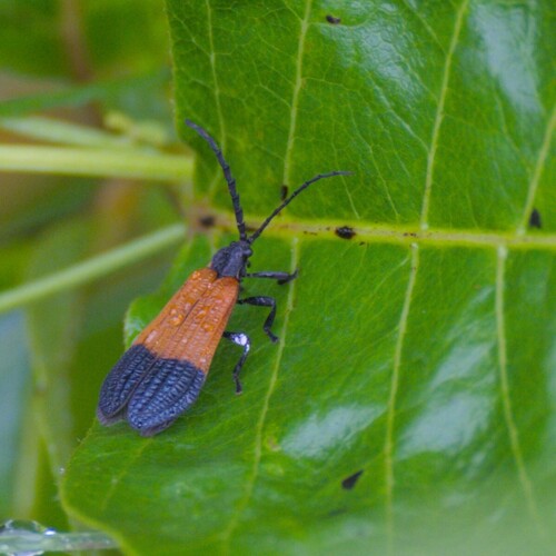
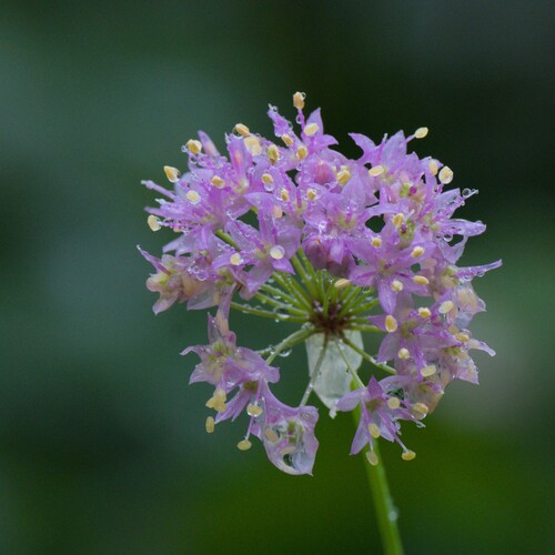
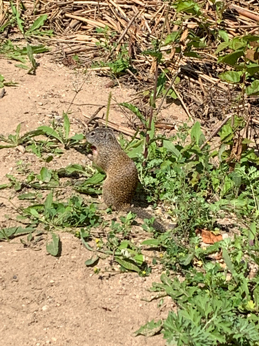
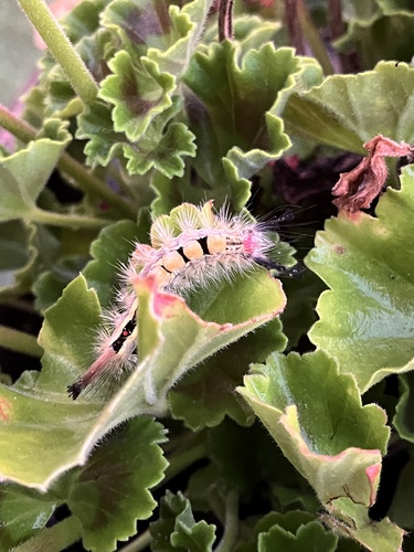
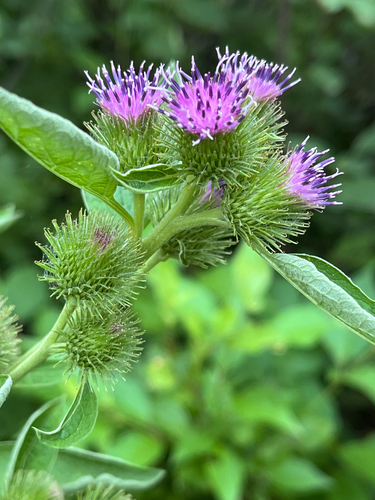
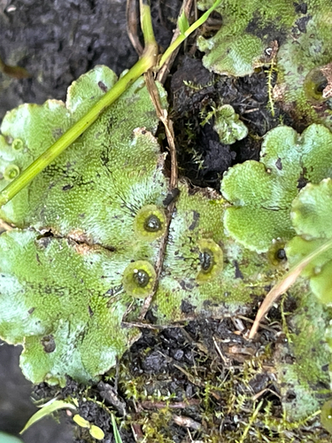
Research-grade observations from iNaturalist (within ~15 mi).
Events
Gallery
Official Identifiers
StatCan — Statistics Canada
- SGC code
- 4615020
- Wikidata
- Q2450886
Standard Geographical Classification (SGC) via Wikidata P3012
Sources
- • Wikipedia
- • Wikidata
- • iNaturalist
- • Open-Meteo / sunrise-sunset.org
- • Wikipedia Pageviews API
- • Open Library
- • StatCan — Statistics Canada — Standard Geographical Classification (SGC) via Wikidata P3012