Browse / Canada / Ontario / Ottawa
Ottawa
Ontariocity

Ottawa
Total population
934,243
Founded
1855
Demographic figures from Statistics Canada. Overview below cites Wikipedia and may reference a different year.
City facts
Facts from Wikidata (CC0).
Overview
Ottawa is the capital city of Canada. It is located in the southeastern portion of the province of Ontario, at the confluence of the Ottawa River and the Rideau River. Ottawa borders Gatineau, Quebec, and forms the core of the Ottawa–Gatineau census metropolitan area (CMA) and the National Capital Region (NCR). As of 2021, Ottawa had a city population of 1,017,449 and a metropolitan population of 1,488,307, making it the fourth-largest city and fourth-largest metropolitan area in Canada.
Read more on WikipediaHistory & geography
History
The Ottawa Valley became habitable around 10,000 years ago following the natural draining of the Champlain Sea. The first evidence of human presence in the Ottawa Valley are spearpoints dated 8000-8500 years before present. By 6000 years before present, there were robust trading and communications networks. Approximately 3000-3500 years before present, there is definitive evidence of continuously existing settlements, including likely hearths and heavy tools. In closer proximity to the modern bounds of the City of Ottawa, there has been documentation of specific settlements at the mouth of the Gatineau River dating back to 3000-3500 years prior to post-Columbian contact. These findings suggest that these Algonquin people were engaged in foraging, hunting and fishing, but also trade and travel. Three major rivers meet within Ottawa, making it an important trade and travel area for thousands of years. In 1610, Étienne Brûlé became the first documented European to navigate the Ottawa River, passing what would become Ottawa on his way to the Great Lakes. Three years later, Samuel de Champlain wrote about the waterfalls in the area and about his encounters with the Algonquin people. The first non-Indigenous settlement in the area was created by Philemon Wright, a New Englander. Wright founded a lumber town in the area on 7 March 1800 on the north side of the river, across from the present-day city of Ottawa in Hull. He, with five other families and twenty-five labourers, also created an agricultural community called Wright's Town, which would later become Gatineau. Wright pioneered the Ottawa Valley timber trade (soon to be the area's most significant economic activity) by transporting timber by river from the Ottawa Valley to Quebec City. In the 1820s, news of the…
Geography
The present-day city of Ottawa consists of the historic main urban area, as well as other urban, suburban and rural areas within the city's post-amalgamation limits. Central Ottawa and Ottawa East comprise a large portion of the pre-amalgamation city, including the former city of Vanier—a densely populated, historically Francophone, working class enclave—and the former village of Rockcliffe Park—a wealthy residential neighbourhood adjacent to both the Prime Minister's official residence at 24 Sussex and the Governor General's residence. These areas the downtown core and older neighbourhoods to the east, west, and south. These neighbourhoods include the commercial and cultural areas of Old Ottawa South, Centretown, Lower Town, and Sandy Hill, the affluent neighbourhoods of The Glebe, Westboro, and New Edinburgh, and the historically blue-collar communities of Hintonburg, Mechanicsville, Carlington, and LeBreton Flats, with a mixture of housing types, artist lofts, and industrial uses. They also include the ethnic enclaves of Chinatown and Little Italy. Ottawa is bounded by the United Counties of Prescott and Russell to the east; by Renfrew County and Lanark County to the west; by the United Counties of Leeds and Grenville and the United Counties of Stormont, Dundas and Glengarry to the south; and by the Regional County Municipality of Les Collines-de-l'Outaouais and the City of Gatineau to the north. The main suburban areas extend a considerable distance to the northeast, southwest and south of the inner-city. These areas also include the former cities of Cumberland, Gloucester (with the large suburban district of Orleans outside the greenbelt split between them), Kanata, and Nepean. The towns of Stittsville and Richmond, part of the former Goulbourn Township, are to…
Excerpted from the corresponding Wikipedia article (CC BY-SA).
Geography
Coordinates & boundaries from the US Census TIGER/Line shapefiles.
Climate
Air quality
Walkability
Amenities nearby
Wildlife & biodiversity
Most-observed species
- Black-capped ChickadeePoecile atricapillus (Linnaeus, 1766) · Aves127,788
- American CrowCorvus brachyrhynchos C.L.Brehm, 1822 · Aves114,914
- Northern CardinalCardinalis cardinalis (Linnaeus, 1758) · Aves110,104
- American GoldfinchSpinus tristis (Linnaeus, 1758) · Aves90,521
- American RobinTurdus migratorius Linnaeus, 1766 · Aves88,893
- Song SparrowMelospiza melodia (A.Wilson, 1810) · Aves83,090
- Canada Goose (canadensis Group)Branta canadensis (Linnaeus, 1758) · Aves82,604
- Ring-billed GullLarus delawarensis Ord, 1815 · Aves80,206
Citizen-science & research observations from the Global Biodiversity Information Facility (GBIF).
Earthquake history
Most recent
- M 2.5 — 2026-04-2123 km NE of Saint-André-Avellin, Canada
- M 4 — 2026-04-1421 km NNE of Shawville, Canada
- M 2.7 — 2026-01-2026 km N of L'Orignal, Canada
- M 2.9 — 2025-09-2222 km NW of Notre-Dame-du-Mont-Carmel, Canada
- M 2.7 — 2024-05-1511 km NW of L'Orignal, Canada
- M 3.2 — 2023-12-3013 km WSW of Notre-Dame-du-Mont-Carmel, Canada
Events from the USGS Earthquake Catalog (global) (FDSN Event Web Service).
Photos
Sights & places nearby
Notable people from here


People born within ~10 km, from Wikidata (CC0). Click any name for their Wikipedia article.
Nearby places in Ontario
Geography & sun
Elevation, sunrise/sunset and daylight from Open-Meteo. Solar climatology from NASA POWER.
Nearby airports
Public attention
Pageview totals from the Wikimedia Pageviews API.
Books about Ottawa
Search results from Open Library.
Recent natural events nearby
Ground air-quality sensors
Recently spotted species
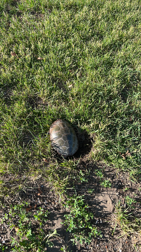
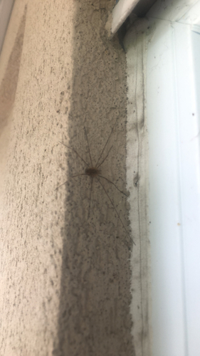
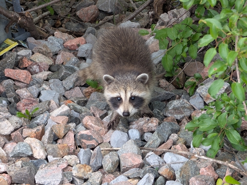
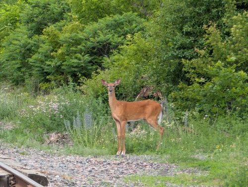
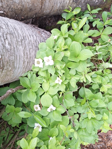
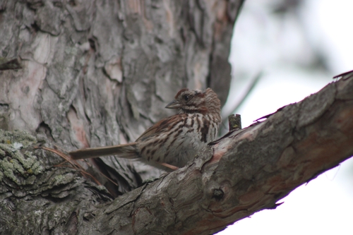
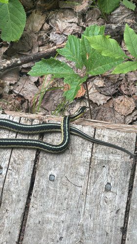
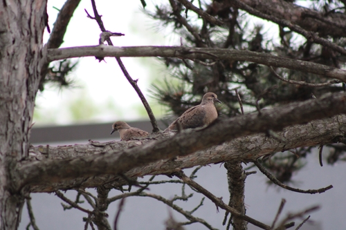
Research-grade observations from iNaturalist (within ~15 mi).
Events
Notable, recurring, and historical events associated with Ottawa, sourced from Wikidata.
- Q-EDGEMar 30, 2026event
inaugural economic development and growth exchange for 2SLGBTQI+ entrepreneurs, Ottawa, 2026
- Jun 28, 2019
- National March for Life in Ottawa, Canada (May 12, 2016)May 12, 2016demonstration
2016 protest in oppostion of abortion held in Ottawa, Canada
- Aug 28, 1971
- Forest of Reading Festivalfestival
Ontario Library Association's award ceremony for the Forest of Reading
Source: Wikidata (CC0).
Gallery
Geotagged photos within ~6 miles of Ottawa, from Wikimedia Commons contributors.
 0 mi
0 mi 0 mi
0 mi.jpg) 0 mi
0 mi.jpg) 0 mi
0 mi.jpg) 0 mi
0 mi.jpg) 0 mi
0 mi.jpg) 0 mi
0 mi.jpg) 0 mi
0 mi.jpg) 0 mi
0 mi.jpg) 0 mi
0 mi.jpg) 0 mi
0 mi.jpg) 0 mi
0 mi.jpg) 0 mi
0 mi.jpg) 0 mi
0 mi.jpg) 0 mi
0 mi.jpg) 0 mi
0 mi.jpg) 0 mi
0 mi.jpg) 0 mi
0 mi 0.1 mi
 0.1 mi
 0.1 mi
 0.1 mi
 0.1 mi
 0.1 mi
Photos via Wikimedia Commons — see each image page for license & attribution.
Sources
- • Wikipedia
- • Wikimedia Commons
- • Wikidata
- • USGS Earthquake Catalog (global feed)
- • GBIF (Global Biodiversity Information Facility)
- • iNaturalist
- • Open-Meteo / sunrise-sunset.org
- • Wikipedia Pageviews API
- • Open Library