Browse / Canada / Ontario / Manotick
Manotick
Ontariovillage

Manotick
Demographic figures from Statistics Canada. Overview below cites Wikipedia and may reference a different year.
City facts
Facts from Wikidata (CC0).
Overview
Manotick is a community in Rideau-Jock Ward in the rural south part of the City of Ottawa, Ontario, Canada. It is a commuter community of the city, located on the Rideau River, immediately south of the suburbs Barrhaven and Riverside South, about 25 km (16 mi) from downtown Ottawa. It was founded by Moss Kent Dickinson in 1864. He named the village 'Manotick', after the Algonquin word for 'island'. It has been part of the City of Ottawa since amalgamation in 2001. Prior to that, it was located in Rideau Township. According to the 2021 Canadian Census, Manotick had a population of 5,315.
Read more on WikipediaHistory & geography
History
The village of Long Island Locks was first settled in 1833. In the 1830s, a small settlement formed in the area of the newly constructed Long Island locks on the Rideau Canal, but there was no development in the area of present-day Manotick. A post office was established in 1854. Open Doors Ottawa sometimes coincides with Dickinson Days, which is Manotick’s annual festival celebrating the Founder of the village. By 1866, Long Island Locks was a post village with a population of 100 of the township of Gloucester, on the Rideau Canal, seven miles from Gloucester station, on the Ottawa and Prescott railway, and 15 miles from Ottawa. The village contained two general stores and a number of mechanics. There were two church buildings here, one occupied alternately by the Presbyterian congregation and the English Church, and the other by the Wesleyan Methodists.
Excerpted from the corresponding Wikipedia article (CC BY-SA).
Geography
Coordinates & boundaries from the US Census TIGER/Line shapefiles.
Climate
Air quality
Walkability
Amenities nearby
Wildlife & biodiversity
Earthquake history
Photos
Sights & places nearby
Notable people from here


People born within ~10 km, from Wikidata (CC0). Click any name for their Wikipedia article.
Nearby places in Ontario
Geography & sun
Elevation, sunrise/sunset and daylight from Open-Meteo. Solar climatology from NASA POWER.
Nearby airports
Public attention
Pageview totals from the Wikimedia Pageviews API.
Books about Manotick

Search results from Open Library.
Recent natural events nearby
Ground air-quality sensors
Recently spotted species
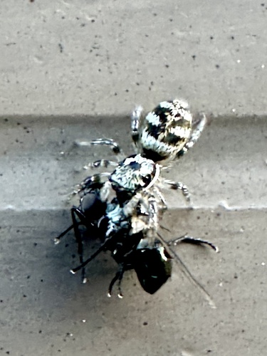
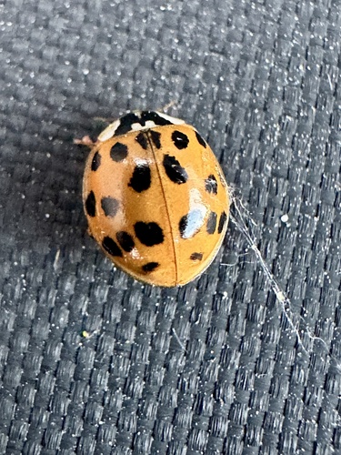
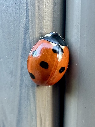
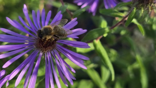
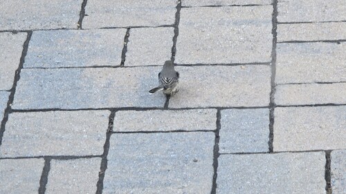
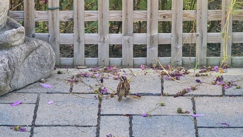
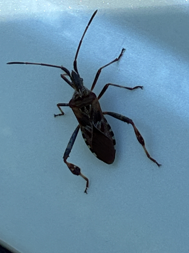
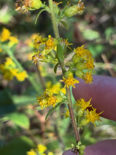
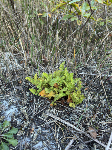
Research-grade observations from iNaturalist (within ~15 mi).
Events
Gallery
Sources
- • Wikipedia
- • Wikidata
- • iNaturalist
- • Open-Meteo / sunrise-sunset.org
- • Wikipedia Pageviews API
- • Open Library