Browse / Canada / Alberta / Peace River
Peace River
Albertatown

Peace River
Total population
6,729
Air quality index
Demographic figures from Statistics Canada. Overview below cites Wikipedia and may reference a different year.
City facts
Facts from Wikidata (CC0).
Overview
Peace River is a town in northwest Alberta, Canada. It is along the banks of the Peace River at its confluence with the Smoky River, the Heart River and Pat's Creek. It is approximately 486 kilometres (302 mi) northwest of Edmonton and 198 kilometres (123 mi) northeast of Grande Prairie on Highway 2. It was known as the Village of Peace River Crossing between 1914 and 1916.
Read more on WikipediaHistory & geography
History
After the last glacial ice sheets melted from the northern parts of the Canadian prairies, an ice-free corridor allowed people from Asia to make a way deep into the Americas. When the Ice Age ended, many of these groups moved back north following the large herds of grazing animals which were, in turn, following the grasses northward in the warming climate. In the Peace River area, the two major language groups were the Athapaskan and the Algonquian. In 1670, following the arrival of the Hudson's Bay Company in Eastern Canada, guns began making their way westward as trade goods and the Algonquian speaking Cree began pushing the Athapaskan speakers Dunne-za or Beaver further west. The Beaver in turn pushed the Sekani deep into the Rocky Mountain Trench in the mid-18th century. A truce was eventually agreed to by the Cree and the Beaver and the great river they called Unchagah (the Peace River) became the boundary between their hunting territories. The North West Company pushed westward in the late 18th century in an attempt to reach the Pacific Ocean, creating rivalry with the other major fur-trading company, the Hudson's Bay Company. *1792: Alexander MacKenzie established Fort Fork on the eastern bank of Peace River just south of its confluence with the Smoky River. *1818, the HBC opens the first Fort St. Mary's at the forks of the Peace and the Smoky, it lasted for only one season *1820, the HBC built Fort St. Mary's III on the west side of the Peace River, directly across from the mouth of the Heart River (in the present day Town of Peace River). This was the third and final relocation of Fort St. Mary's *1886: The Anglican Church sets up the first mission on Shaftesbury Trail. *1888: The Roman Catholic Church sets up St. Augustine mission on Shaftesbury Trail.…
Geography
Physiographically, the Town of Peace River lies within the Peace River Formation, a stratigraphical unit of middle Albian age in the Western Canadian Sedimentary Basin. The area developed on sediments of the former lake bottom of Glacial Lake Peace, which covered most of the areas in the region that were below 610 m in elevation. The specific landform in which the town is situated is the Peace River Lowland which was incised by the Peace River and its tributaries right through the area's former glacial lake sediments and into the Cretaceous bedrock. The Peace River Lowlands is flanked by the Buffalo Head Hills to the east and the Whitemud and Clear Hills to the west. The general area is categorized ecologically as aspen parkland with mixedwood stands understory. There is a variety of wetland habitats in the area with several being quite marshy with shallow water, soft bottoms, and abundant aquatic vegetation. Some of the lakes and sloughs are used by various waterfowls, both migrating and resident, for nesting. The parkland also supports a host of terrestrial and aquatic animals. It is also Canada's most northerly agricultural region. The Greene Valley Provincial Park lies just east of the town in the Northern Sunrise County and the Peace River Wildland Provincial Park is to the south on the east bank of the Peace River. These parks and the rest of the river valley, including some river islands, provide habitat for wildlife such as moose, deer, bear, coyotes, bats, reptiles, birds and numerous fish species. Maintaining natural areas in the river valley and limiting use to suitable recreational use has minimized impacts to wildlife habitat. Historically, the town has been the subject of flooding. However, the town has developed a continuous dike system to prevent…
Excerpted from the corresponding Wikipedia article (CC BY-SA).
Geography
Coordinates & boundaries from the US Census TIGER/Line shapefiles.
Climate
Air quality
Current readings from Open-Meteo Air Quality API (Copernicus CAMS European reanalysis).
Walkability
Amenities nearby
Wildlife & biodiversity
Most-observed species
- Black-capped ChickadeePoecile atricapillus (Linnaeus, 1766) · Aves548
- American CrowCorvus brachyrhynchos C.L.Brehm, 1822 · Aves376
- American RobinTurdus migratorius Linnaeus, 1766 · Aves342
- Common RavenCorvus corax Linnaeus, 1758 · Aves302
- Blue JayCyanocitta cristata (Linnaeus, 1758) · Aves242
- Black-billed MagpiePica hudsonia (Sabine, 1823) · Aves236
- Canada Goose (canadensis Group)Branta canadensis (Linnaeus, 1758) · Aves233
- Hairy WoodpeckerLeuconotopicus villosus (Linnaeus, 1766) · Aves212
Citizen-science & research observations from the Global Biodiversity Information Facility (GBIF).
Earthquake history
Most recent
- M 4.2 — 2023-03-16Alberta, Canada
- M 4.7 — 2023-03-1644 km ESE of Peace River, Canada
- M 4.6 — 2023-03-16Alberta, Canada
- M 4.3 — 2022-11-30Alberta, Canada
- M 3.9 — 2022-11-3042 km ESE of Peace River, Canada
- M 4.3 — 2022-11-3042 km ESE of Peace River, Canada
Events from the USGS Earthquake Catalog (global) (FDSN Event Web Service).
Photos
Sights & places nearby
Notable people from here


People born within ~10 km, from Wikidata (CC0). Click any name for their Wikipedia article.
Nearby places in Alberta
- Marie Reine11.1 mi away
- Lac Cardinal20.3 mi away
- Normandville25.5 mi away
- Girouxville33.2 mi away
- Falher34.7 mi away
- Birch Meadows Hutterite Colony35.7 mi away
- Eaglesham38.7 mi away
- Codesa Hutterite Colony47.4 mi away
- Guy47.9 mi away
- Belloy49.2 mi away
- Shady Lane Hutterite Colony50.9 mi away
- Twilight Hutterite Colony53 mi away
Geography & sun
Elevation, sunrise/sunset and daylight from Open-Meteo. Solar climatology from NASA POWER.
Nearby airports
Public attention
Pageview totals from the Wikimedia Pageviews API.
Books about Peace River


Search results from Open Library.
Recent natural events nearby
Ground air-quality sensors
Recently spotted species

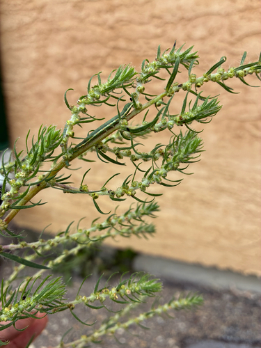
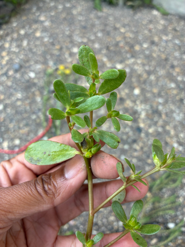
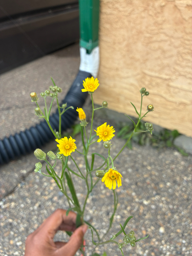
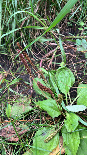
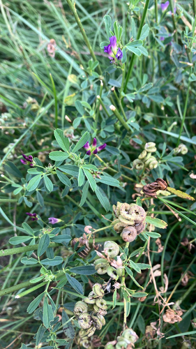
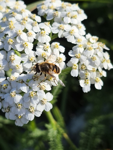
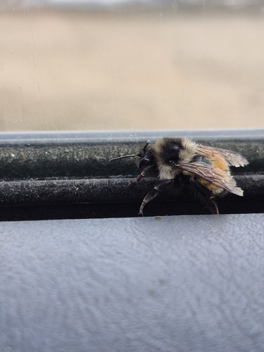
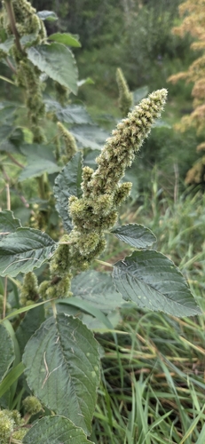
Research-grade observations from iNaturalist (within ~15 mi).
Events
Gallery
Official Identifiers
StatCan — Statistics Canada
- SGC code
- 4819038
- Population (Wikidata)
- 6,619
- Wikidata
- Q1743985
Standard Geographical Classification (SGC) via Wikidata P3012
Sources
- • Wikipedia
- • Wikidata
- • Open-Meteo Air Quality (CAMS)
- • USGS Earthquake Catalog (global feed)
- • GBIF (Global Biodiversity Information Facility)
- • iNaturalist
- • Open-Meteo / sunrise-sunset.org
- • Wikipedia Pageviews API
- • Open Library
- • StatCan — Statistics Canada — Standard Geographical Classification (SGC) via Wikidata P3012