Browse / Canada / Ontario / Peawanuck
Peawanuck
Ontariotown
No image yet
Total population
195
Coordinates55.01°, -85.42°
Demographic figures from Statistics Canada. Overview below cites Wikipedia and may reference a different year.
Loading additional data from public sources…0 / 11
CensusWikipediaWeatherPlacesPeopleEnvironmentHealth & SchoolsRelatedGeography & CultureLive MonitoringEvents & Gallery
0% completeCity facts
Overview
Peawanuck is an isolated Cree community in the Kenora District, Ontario, Canada. It is located near the confluence of the Winisk and Shamattawa rivers, about 35 km from the Winisk River's end in Hudson Bay. Its population is 237.
Read more on WikipediaHistory & geography
Geography
Latitude
55.0115
Longitude
-85.4242
Water area
—
Coordinates & boundaries from the US Census TIGER/Line shapefiles.
Climate
Air quality
Walkability
Amenities nearby
Wildlife & biodiversity
Earthquake history
Photos
Sights & places nearby
Notable people from here
Nearby places in Ontario
- Attawapiskat188.7 mi away · pop. 1,550
- Big Trout Lake197.4 mi away · pop. 904
- Kingfisher Lake224.9 mi away
- Ogoki234.5 mi away
- Bearskin Lake234.8 mi away
- Fort Hope259.7 mi away
- Sachigo Lake282.6 mi away
- Pickle Lake314.4 mi away · pop. 500
- Cat Lake347.9 mi away
- North Spirit Lake355.1 mi away · pop. 264
- McDowell Lake356.3 mi away
- Armstrong358.8 mi away · pop. 4,815
Geography & sun
Avg solar (kWh/m²/day)
2.9
Annual solar (kWh/m²)
1,058
Elevation, sunrise/sunset and daylight from Open-Meteo. Solar climatology from NASA POWER.
Nearby airports
Public attention
Wikipedia views (last 30 days)
682
Avg daily Wikipedia views
23
Attention level
Obscure
Pageview totals from the Wikimedia Pageviews API.
Books about Peawanuck

Search results from Open Library.
Recent natural events nearby
Ground air-quality sensors
Recently spotted species
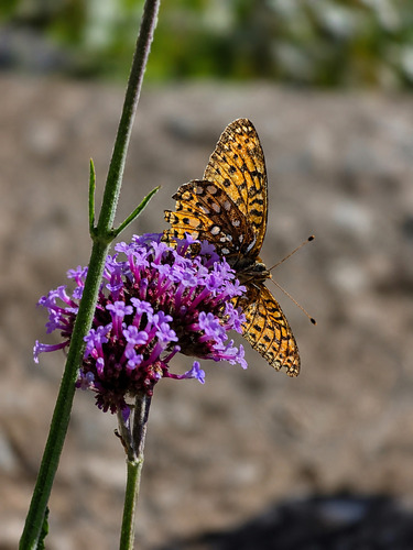
Atlantis Fritillary
Argynnis atlantis
Seen 2026-09-02
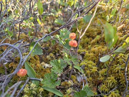
cloudberry
Rubus chamaemorus
Seen 2026-07-31
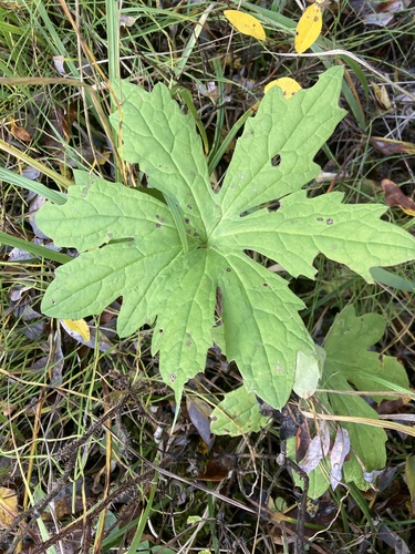
Arctic Butterbur
Petasites frigidus
Seen 2025-10-06
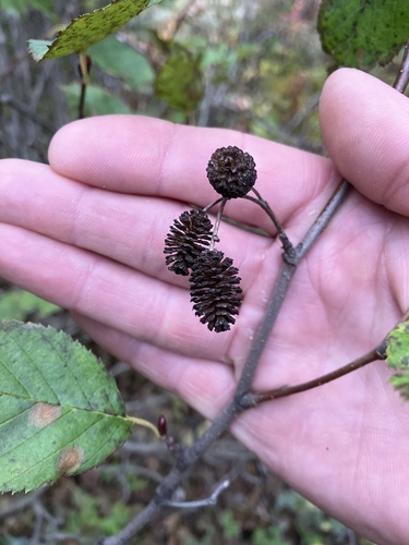
green alder
Alnus alnobetula
Seen 2025-10-03
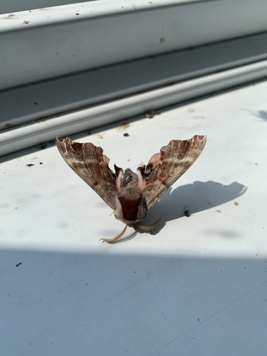
One-eyed Sphinx
Smerinthus cerisyi
Seen 2025-07-10
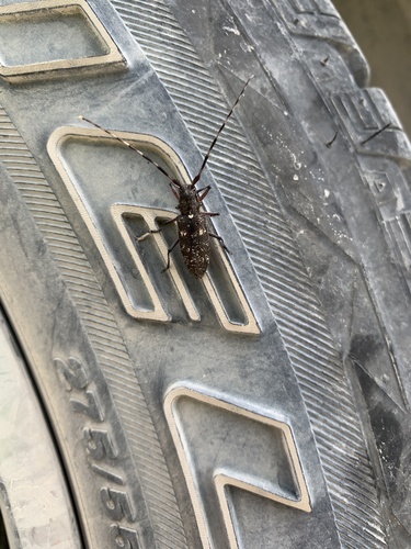
White-spotted Sawyer
Monochamus scutellatus
Seen 2025-07-09
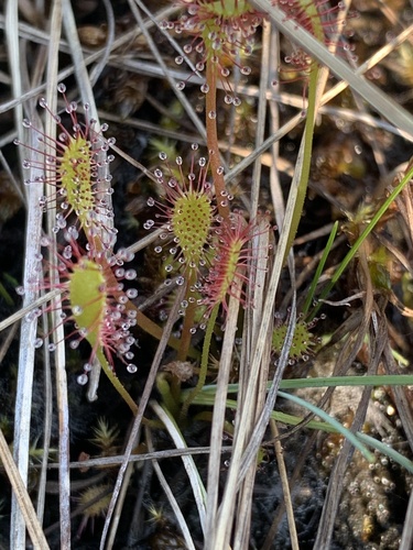
Great Sundew
Drosera anglica
Seen 2025-07-09
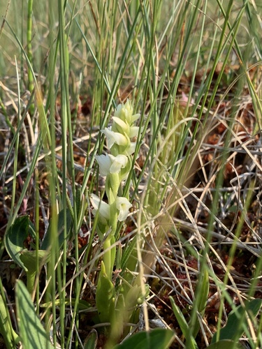
Hooded Ladies' Tresses
Spiranthes romanzoffiana
Seen 2025-07-09
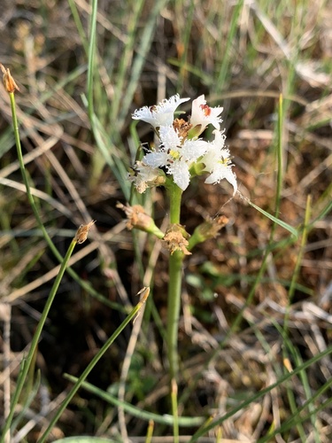
Bogbean
Menyanthes trifoliata
Seen 2025-07-09
Research-grade observations from iNaturalist (within ~15 mi).
Events
Gallery
Sources
- • Wikipedia
- • iNaturalist
- • Open-Meteo / sunrise-sunset.org
- • Wikipedia Pageviews API
- • Open Library