Browse / Canada / British Columbia / Port Edward
Port Edward
British Columbiavillage

Port Edward
Total population
570
Demographic figures from Statistics Canada. Overview below cites Wikipedia and may reference a different year.
City facts
Facts from Wikidata (CC0).
Overview
The District of Port Edward is a district municipality of 16,812 hectares, located in the Range 5 Coast Land District of British Columbia, Canada. It is situated near the southern end of Chatham Sound, close to the mouth of the Skeena River, on the Tsimpsean Peninsula between Mount Stewart, Mount McDonald, and Porpoise Harbour.
Read more on WikipediaHistory & geography
History
Originally incorporated as Village Municipality on , the townsite was re-incorporated as a District Municipality , and is now called the District of Port Edward. In 1942, the United States Army established the Port Edward staging base, containing two wharves and a loading pier with necessary rail connections, and facilities accommodating 10,000 troops. As a member of the Quartermaster Corps, Colonel Floyd W. Stewart oversaw the embarkation of 35,000 troops and civilian workers through to the Aleutian and Pacific theatres of war. Watson Island also contained a major ammunition transshipment facility, it is estimated that over 100,000 tons of high-explosive ammunition were passed through to Alaska . By the early 1960s Port Edward had become the largest northern salmon canning area. Commercial milestones include the installations of crab canning equipment in 1953, shellfish operations in 1959 and shrimp operations in 1961. Pacific Northwest LNG (PNW LNG) had been proposed for Lelu Island, adjacent to the townsite of Port Edward. The project was a major joint-venture between Malaysia's state oil and gas company, Petronas, and significant partners including Sinopec and JAPEX. This $11 billion (CAD) project, if constructed, would have brought significant economic activity to Port Edward. The project was cancelled on July 25, 2017. , Pembina Pipeline commenced exporting from its liquefied natural gas terminal on Watson Island. This facility provided some of Canada's first large-scale propane shipments to South Korea.
Excerpted from the corresponding Wikipedia article (CC BY-SA).
Geography
Coordinates & boundaries from the US Census TIGER/Line shapefiles.
Climate
Air quality
Walkability
Amenities nearby
Wildlife & biodiversity
Earthquake history
Photos
Sights & places nearby
Notable people from here


People born within ~10 km, from Wikidata (CC0). Click any name for their Wikipedia article.
Nearby places in British Columbia
Geography & sun
Elevation, sunrise/sunset and daylight from Open-Meteo. Solar climatology from NASA POWER.
Nearby airports
Public attention
Pageview totals from the Wikimedia Pageviews API.
Books about Port Edward

Search results from Open Library.
Recent natural events nearby
Ground air-quality sensors
Recently spotted species
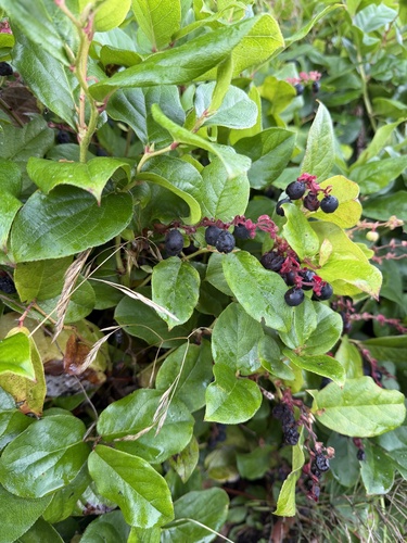
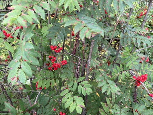
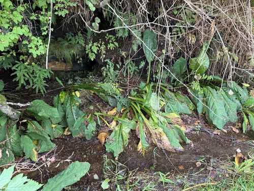
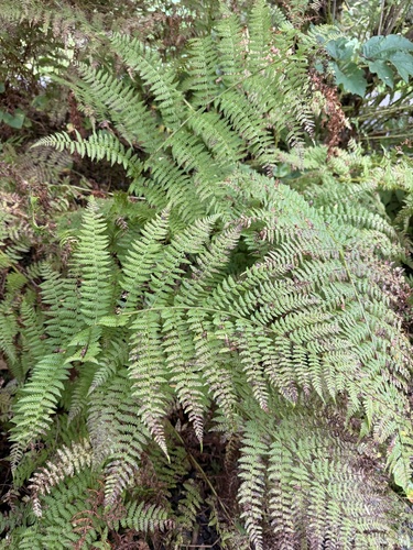
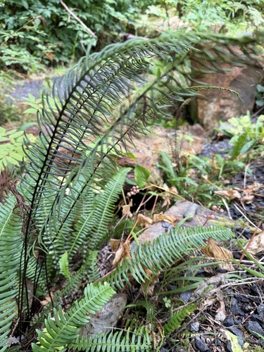
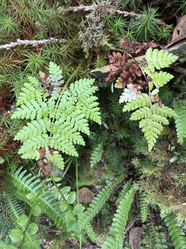
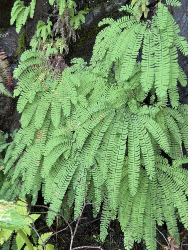
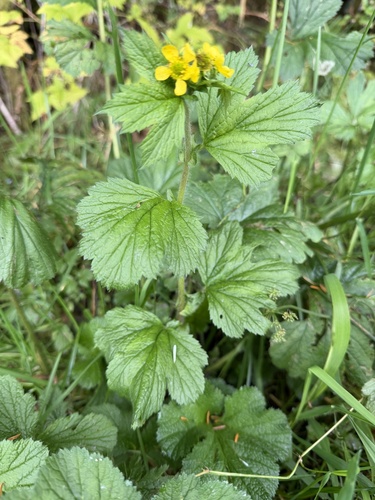
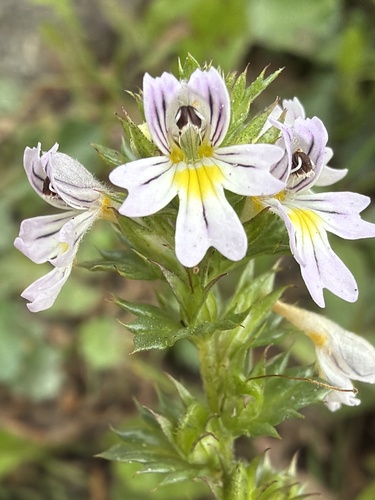
Research-grade observations from iNaturalist (within ~15 mi).
Events
Gallery
Official Identifiers
StatCan — Statistics Canada
- SGC code
- 5947007
- Wikidata
- Q7230594
Standard Geographical Classification (SGC) via Wikidata P3012
Sources
- • Wikipedia
- • Wikidata
- • iNaturalist
- • Open-Meteo / sunrise-sunset.org
- • Wikipedia Pageviews API
- • Open Library
- • StatCan — Statistics Canada — Standard Geographical Classification (SGC) via Wikidata P3012