Browse / United States / California / Richmond
Richmond
Californiacity

Richmond
Total population
115,356
Median home value
$663,900
Bachelor's+
Median income
$106,595
Founded
1905
Demographic figures from US Census Bureau · ACS 5-year estimates. Overview below cites Wikipedia and may reference a different year.
- Coastal Flood Advisory · MinorCoastal Flood Advisory issued October 1 at 12:20PM PDT until October 2 at 6:00PM PDT by NWS San Francisco CA
- Heat Advisory · ModerateHeat Advisory issued October 1 at 9:43AM PDT until October 4 at 10:00PM PDT by NWS San Francisco CA
Source: NOAA National Weather Service.
City facts
Facts from Wikidata (CC0).
Overview
Richmond is a city in western Contra Costa County, California, United States. The city was incorporated on August 3, 1905, and has a city council. Located in the San Francisco Bay Area's East Bay region, Richmond borders San Pablo, Albany, El Cerrito and Pinole in addition to the unincorporated communities of North Richmond, Hasford Heights, Kensington, El Sobrante, Bayview-Montalvin Manor, Tara Hills, and East Richmond Heights, and for a short distance San Francisco on Red Rock Island in the San Francisco Bay.
Read more on WikipediaHistory & geography
History
The Ohlone were the first inhabitants of the Richmond area, settling an estimated 5,000 years ago. They spoke the Chochenyo language, and subsisted as hunter-gatherers and harvesters. The site that would eventually become the city of Richmond was part of the Rancho San Pablo land granted to Don Francisco María Castro, from which the nearby town of San Pablo inherited its name; the Point Richmond area was known originally as The Potrero and then renamed as Point Stevens in early charts of San Francisco Bay. Standard Oil set up operations on land sold by Emily Tewksbury in 1901, including what is now the Chevron Richmond Refinery and tank farm, which Chevron still operates. There is a pier into San Francisco Bay south of Point Molate for oil tankers. The city of Richmond was incorporated in 1905. Until the enactment of prohibition in 1919, the city had the largest winery in the world; The facility connected with both the Santa Fe and Southern Pacific and serviced their passenger coach equipment. The Pullman Company was a large employer of African American men, who worked mainly as porters on the Pullman cars. Many of them settled in the East Bay, from Richmond to Oakland, before World War II. From 1917 and throughout the 1920s, the Ku Klux Klan was active in the city. In 1930 the Ford Motor Company opened the Richmond Assembly Plant, which later moved to Milpitas in 1956. The old Ford plant in Richmond has been listed on the National Register of Historic Places since 1988. In 2004 it was purchased by developer Eddie Orton, who converted it into an events center named Ford Point Building–The Craneway. At the onset of World War II, the four Richmond Shipyards were built along Richmond's waterfront, employing thousands of workers, many migrating to Richmond from other…
Geography
Richmond is located at . The city borders San Francisco Bay to the southwest and San Pablo Bay to the northwest, and includes Brooks Island and the Brother Islands entirely, and half of Red Rock Island. There are several cities and unincorporated communities surrounding or bordering Richmond. To the south is the city of Albany which is in Alameda County and the city of El Cerrito. The unincorporated communities of East Richmond Heights, Rollingwood, Hasford Heights, and El Sobrante lie to the east. North Richmond to the west and San Pablo to the east are almost entirely surrounded by Richmond's city limits. To the north, Richmond borders the city of Pinole and the unincorporated areas of Bayview, Montalvin Manor, Hilltop Green, Tara Hills. Richmond borders Alameda, San Francisco, and Marin counties in the Bay and Red Rock Island. The city is within the 94801, 94803, 94804, 94805, and 94806 ZIP Codes. Richmond, like the rest of the East Bay, has a Mediterranean climate. The climate is slightly warmer than the coastal areas of San Francisco, the Peninsula, and Marin County; it is however more temperate than areas further inland. The average highs range from and the lows range from year round. Richmond usually enjoys an "Indian summer", and September is, on average, the warmest month. January is on average the coldest month. The highest recorded temperature in Richmond was in September 1971 while the coldest was in December 1990. }}
Excerpted from the corresponding Wikipedia article (CC BY-SA).
Demographics & economy
Race & ethnicity
Source: US Census Bureau — American Community Survey, 5-year estimates.
Geography
Coordinates & boundaries from the US Census TIGER/Line shapefiles.
Climate
Current forecast
Forecast for Richmond, CA from NOAA NWS API.
Air quality
Industrial & pollution facilities
Natural hazard risk
Health (adults)
Age-adjusted prevalence estimates from CDC PLACES (latest release).
Walkability
Amenities nearby
Wildlife & biodiversity
Most-observed species
- American CrowCorvus brachyrhynchos C.L.Brehm, 1822 · Aves97,651
- Anna's HummingbirdCalypte anna (R.Lesson, 1829) · Aves89,419
- House FinchHaemorhous mexicanus (P.L.Statius Müller, 1776) · Aves82,718
- California TowheeMelozone crissalis (Vigors, 1839) · Aves70,595
- Black PhoebeSayornis nigricans (Swainson, 1827) · Aves65,517
- Song SparrowMelospiza melodia (A.Wilson, 1810) · Aves63,510
- Dark-eyed JuncoJunco hyemalis (Linnaeus, 1758) · Aves61,166
- California/Woodhouse's Scrub-JayAphelocoma californica (Vigors, 1839) · Aves61,134
Citizen-science & research observations from the Global Biodiversity Information Facility (GBIF).
Schools
Largest nearby schools
- El Cerrito HighHigh · El Cerrito · 1,522 students · 23.4:1 ratio
- Richmond HighHigh · Richmond · 1,431 students · 21:1 ratio
- Pinole Valley HighHigh · Pinole · 1,280 students · 21:1 ratio
- De Anza HighHigh · Richmond · 1,237 students · 18.7:1 ratio
- Making Waves AcademyHigh · Richmond · 1,124 students · 16.5:1 ratio
- Caliber: Beta AcademyElementary · San Pablo · 913 students · 23.4:1 ratio
- John F. Kennedy HighHigh · Richmond · 823 students · 20.1:1 ratio
- Hercules HighHigh · Hercules · 734 students · 26.2:1 ratio
Public K–12 schools within ~10 mi from Urban Institute Education Data Portal (NCES Common Core of Data, 2022).
Earthquake history
Photos
Sights & places nearby
Notable people from here


People born within ~10 km, from Wikidata (CC0). Click any name for their Wikipedia article.
Nearby places in California
- North Richmond1.1 mi away
- Rollingwood1.9 mi away · pop. 3,627
- East Richmond Heights2.6 mi away
- El Sobrante3.5 mi away
- Pinole4.1 mi away
- Ross11 mi away · pop. 2,606
- Piedmont11.4 mi away
- Orinda11.5 mi away
- Port Costa11.5 mi away
- San Anselmo11.6 mi away
- Alhambra Valley12.3 mi away · pop. 979
- Muir Beach13.5 mi away
Geography & sun
Elevation, sunrise/sunset and daylight from Open-Meteo. Solar climatology from NASA POWER.
Nearby airports
Public attention
Pageview totals from the Wikimedia Pageviews API.
Books about Richmond


Search results from Open Library.
Recent natural events nearby
- Wildfire GANN, Calaveras, CaliforniaWildfires · 2026-08-03 · 87 mi
- Wildfire LUCAS, Lake, CaliforniaWildfires · 2026-09-10 · 95 mi
- Wildfire LUCAS, Lake, CaliforniaWildfires · 2026-09-10 · 95 mi
- Wildfire Timber, Monterey, CaliforniaWildfires · 2026-08-09 · 125 mi
- Wildfire Plaskett, Monterey, CaliforniaWildfires · 2026-08-26 · 151 mi
- Wildfire DOME, Mariposa, CaliforniaWildfires · 2026-09-15 · 152 mi
- Wildfire FLORISTON, Nevada, CaliforniaWildfires · 2026-09-16 · 161 mi
- Wildfire Bull, Washoe, NevadaWildfires · 2026-10-02 · 168 mi
Wildfires, storms and other events from NASA EONET (last 12 months, within 250 mi).
Ground air-quality sensors
Recently spotted species
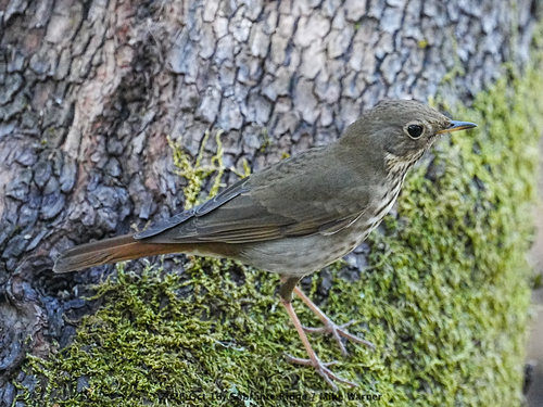
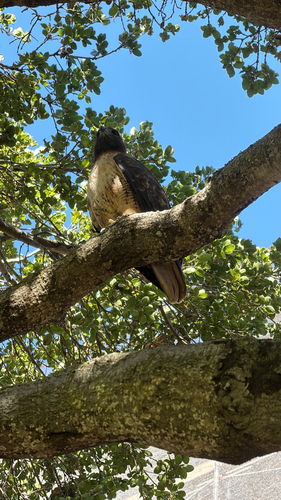
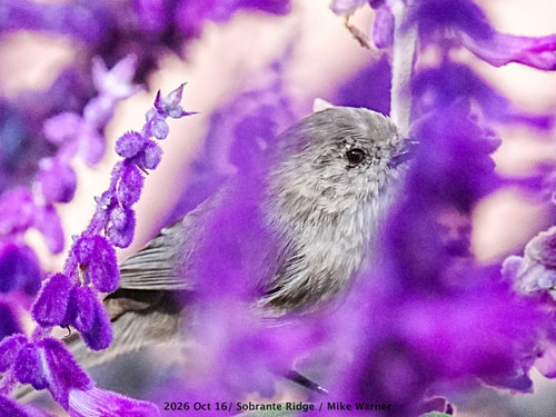
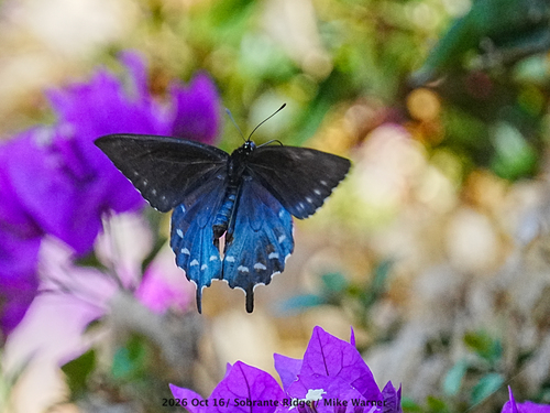
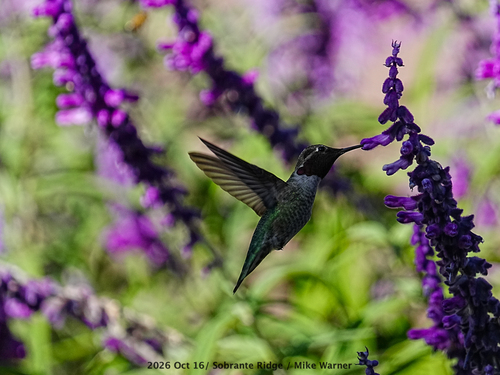
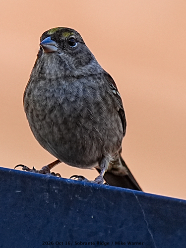
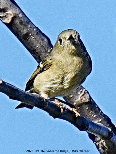
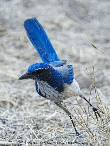
Research-grade observations from iNaturalist (within ~15 mi).
Nearest stream gauge
Live readings from USGS NWIS · measured 2026-10-16 12:30 UTC.
Events
Gallery
Sources
- • Wikipedia
- • US Census Bureau (ACS 5-year estimates)
- • NOAA National Weather Service
- • Wikidata
- • USGS NWIS (water data)
- • NCES via Urban Institute Education Data Portal
- • GBIF (Global Biodiversity Information Facility)
- • iNaturalist
- • CDC PLACES
- • Open-Meteo / sunrise-sunset.org
- • Wikipedia Pageviews API
- • Open Library
- • NASA EONET