Browse / Canada / Manitoba / Rosenhoff
Rosenhoff
Manitobavillage

Featured view
Rosenhoff
Coordinates49.43°, -97.44°
Demographic figures from Statistics Canada. Overview below cites Wikipedia and may reference a different year.
Loading additional data from public sources…0 / 11
CensusWikipediaWeatherPlacesPeopleEnvironmentHealth & SchoolsRelatedGeography & CultureLive MonitoringEvents & Gallery
0% completeCity facts
Overview
59°55′50.29″N 10°46′30.36″E
Read more on WikipediaHistory & geography
Geography
Latitude
49.4326
Longitude
-97.4374
Water area
—
Coordinates & boundaries from the US Census TIGER/Line shapefiles.
Climate
Air quality
Walkability
Amenities nearby
Wildlife & biodiversity
Earthquake history
Photos
Sights & places nearby
Notable people from here
Nearby places in Manitoba
- Rosenort1.9 mi away
- Osborne7.6 mi away
- Lowe Farm8.6 mi away
- Aubigny8.8 mi away
- Silver Winds Hutterite Colony10.6 mi away
- Oak Bluff Hutterite Colony10.9 mi away
- Brunkild12.6 mi away
- Kane14.1 mi away
- Sainte Agathe14.7 mi away
- Horizon Hutterite Colony14.8 mi away
- Carey Hutterite Colony15.6 mi away
- Blue Clay Hutterite Colony16.9 mi away
Geography & sun
Avg solar (kWh/m²/day)
3.7
Annual solar (kWh/m²)
1,349
Elevation, sunrise/sunset and daylight from Open-Meteo. Solar climatology from NASA POWER.
Nearby airports
Public attention
Wikipedia views (last 30 days)
23
Avg daily Wikipedia views
1
Attention level
Obscure
Pageview totals from the Wikimedia Pageviews API.
Books about this place
Recent natural events nearby
Ground air-quality sensors
Recently spotted species
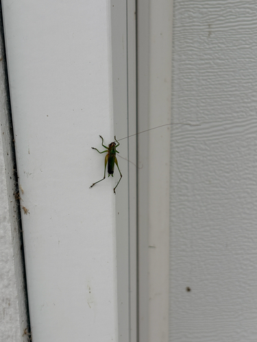
Black-sided Meadow Katydid
Conocephalus nigropleurum
Seen 2026-09-07
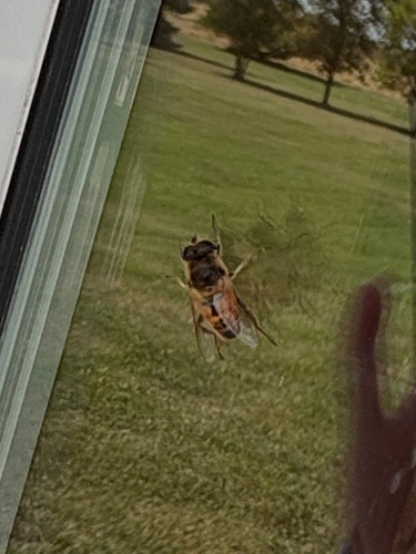
Common Drone Fly
Eristalis tenax
Seen 2026-09-02
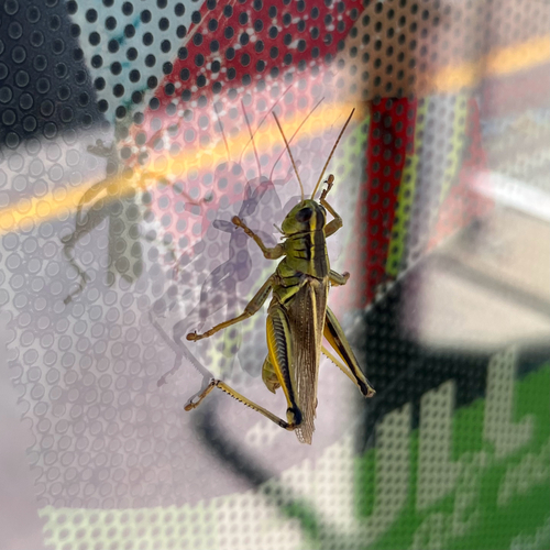
Two-striped Grasshopper
Melanoplus bivittatus
Seen 2026-08-31
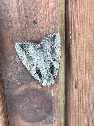
Sweetheart Underwing
Catocala amatrix
Seen 2026-08-07
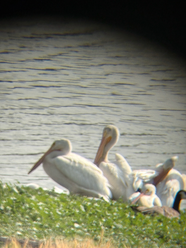
American White Pelican
Pelecanus erythrorhynchos
Seen 2026-08-01
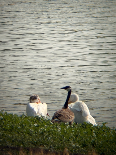
Canada Goose
Branta canadensis
Seen 2026-08-01
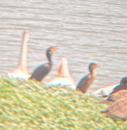
Double-crested Cormorant
Nannopterum auritum
Seen 2026-08-01
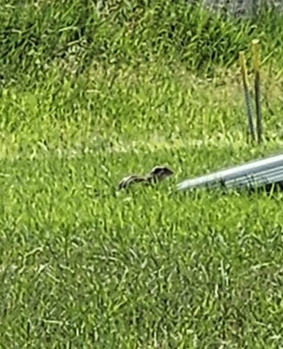
Thirteen-lined Ground Squirrel
Ictidomys tridecemlineatus
Seen 2026-07-26
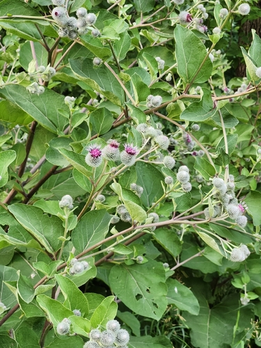
Woolly Burdock
Arctium tomentosum
Seen 2026-07-25
Research-grade observations from iNaturalist (within ~15 mi).
Events
Gallery
Sources
- • Wikipedia
- • iNaturalist
- • Open-Meteo / sunrise-sunset.org
- • Wikipedia Pageviews API