Browse / United States / California / San Fernando
San Fernando
Californiacity

San Fernando
Total population
23,632
Median home value
$674,700
Bachelor's+
Median income
$83,024
Founded
1911
Air quality index
Demographic figures from US Census Bureau · ACS 5-year estimates. Overview below cites Wikipedia and may reference a different year.
City facts
Facts from Wikidata (CC0).
Overview
San Fernando is a general-law city in the San Fernando Valley region of Los Angeles County, California, in the Los Angeles metropolitan area. It is an enclave in the City of Los Angeles. As of the 2020 census the population of San Fernando was 23,946.
Read more on WikipediaHistory & geography
History
Prior to the arrival of Spanish missionaries and soldiers, the area of San Fernando was in the northwestern extent of Tovaangar, or the homelands of the Tongva. The nearby village of Pasheeknga was a major site for the Tongva, being the most populous village in the San Fernando Valley at the time. The homelands of the Tataviam could be found to the north and the Chumash to the west. The Mission San Fernando Rey de España (named after St. Ferdinand) was founded in 1797 at the site of Achooykomenga, an agricultural rancho established by Juan Francisco Reyes for Pueblo de Los Ángeles worked by Ventureño Chumash, Fernandeño (Tongva), and Tataviam laborers. In 1833, the mission was secularized by the Mexican government. During its time as a mission, 1,367 native children were baptized at San Fernando, of which 965 died in childhood. The high death rate of children and adults at the missions sometimes led those kept at the mission to run away. In 1846, the area became part of the Mexican land grant of Rancho Ex-Mission San Fernando. In 1874, Charles Maclay, bought of the Rancho. In 1882, cousins George K. Porter and Benjamin F. Porter, of future Porter Ranch, each received one-third of the total land. In 1885, Maclay founded the Maclay School of Theology, a Methodist seminary in San Fernando. After his death it became an affiliate and moved to the campus of the University of Southern California and then the Claremont School of Theology. In August 1911, a motion to incorporate as an independent city passed by eight votes. While most of the towns in the surrounding San Fernando Valley agreed to annexation by Los Angeles in the 1910s, eager to tap the bountiful water supply provided by the newly opened Los Angeles Aqueduct, San Fernando's abundant groundwater supplies…
Geography
San Fernando is completely surrounded by the city of Los Angeles, with the neighborhoods of Sylmar to the north, Lake View Terrace to the east, Pacoima to the south, and Mission Hills to the west. It is served by the Golden State (Interstate 5), Foothill (Interstate 210), Ronald Reagan (State Route 118), and San Diego (Interstate 405) freeways.
Excerpted from the corresponding Wikipedia article (CC BY-SA).
Demographics & economy
Race & ethnicity
Source: US Census Bureau — American Community Survey, 5-year estimates.
Geography
Coordinates & boundaries from the US Census TIGER/Line shapefiles.
Climate
Air quality
Current readings from Open-Meteo Air Quality API (Copernicus CAMS European reanalysis).
Industrial & pollution facilities
Natural hazard risk
Health (adults)
Age-adjusted prevalence estimates from CDC PLACES (latest release).
Walkability
Amenities nearby
Wildlife & biodiversity
Most-observed species
- House FinchHaemorhous mexicanus (P.L.Statius Müller, 1776) · Aves28,110
- Mourning DoveZenaida macroura (Linnaeus, 1758) · Aves23,766
- Lesser GoldfinchSpinus psaltria (Say, 1822) · Aves20,893
- Black PhoebeSayornis nigricans (Swainson, 1827) · Aves20,698
- California TowheeMelozone crissalis (Vigors, 1839) · Aves19,496
- Common RavenCorvus corax Linnaeus, 1758 · Aves19,036
- Anna's HummingbirdCalypte anna (R.Lesson, 1829) · Aves17,422
- Yellow-rumped WarblerSetophaga coronata (Linnaeus, 1766) · Aves16,730
Citizen-science & research observations from the Global Biodiversity Information Facility (GBIF).
Schools
Largest nearby schools
- Granada Hills CharterOther · Granada Hills · 5,869 students · 25.4:1 ratio
- Birmingham Community Charter HighHigh · Lake Balboa · 3,058 students · 23.5:1 ratio
- Vaughn Next Century Learning CenterOther · San Fernando · 2,877 students · 21:1 ratio
- Grover Cleveland Charter HighHigh · Reseda · 2,781 students · 23.4:1 ratio
- North Hollywood Senior HighHigh · North Hollywood · 2,489 students · 20.9:1 ratio
- Burbank HighHigh · Burbank · 2,447 students · 24.7:1 ratio
- Van Nuys Senior HighHigh · Van Nuys · 2,323 students · 20.7:1 ratio
- John H. Francis PolytechnicHigh · Sun Valley · 2,232 students · 19.1:1 ratio
Public K–12 schools within ~10 mi from Urban Institute Education Data Portal (NCES Common Core of Data, 2022).
Earthquake history
Most recent
- M 3.81008714964485 — 2026-09-304 km SE of Piru, CA
- M 3.55404092525043 — 2026-09-277 km WSW of Hermosa Beach, CA
- M 2.53 — 2026-09-1811 km N of Fillmore, CA
- M 2.94 — 2026-09-174 km SSE of Compton, CA
- M 2.56 — 2026-09-1327 km SSE of Malibu, CA
- M 2.65 — 2026-09-124 km E of Lennox, CA
Events from the USGS Earthquake Catalog (global) (FDSN Event Web Service).
Photos
Sights & places nearby
Notable people from here


People born within ~10 km, from Wikidata (CC0). Click any name for their Wikipedia article.
Nearby places in California
- La Crescenta-Montrose12.1 mi away
- La Cañada Flintridge14.5 mi away · pop. 20,573
- Bell Canyon15.4 mi away
- Hidden Hills15.5 mi away
- Oak Park20.2 mi away
- Marina del Rey21.6 mi away
- Piru22.5 mi away
- East Pasadena23 mi away
- Pepperdine University23.1 mi away
- East Los Angeles23.4 mi away
- Leona Valley23.4 mi away · pop. 1,465
- Florence-Graham24.7 mi away · pop. 60,690
Geography & sun
Nearby airports
Public attention
Books about this place
Recent natural events nearby
- Wildfire RIDGE, Los Angeles, CaliforniaWildfires · 2026-08-07 · 41 mi
- Wildfire BUZZARD, Kern, CaliforniaWildfires · 2026-08-05 · 50 mi
- Wildfire PLAINS, San Luis Obispo, CaliforniaWildfires · 2026-08-12 · 118 mi
- Prescribed Fire CRAWFORD CORRAL RX, Tulare, CaliforniaWildfires · 2026-09-19 · 163 mi
- Wildfire Plaskett, Monterey, CaliforniaWildfires · 2026-08-26 · 202 mi
- Wildfire Timber, Monterey, CaliforniaWildfires · 2026-08-09 · 228 mi
- Wildfire DOME, Mariposa, CaliforniaWildfires · 2026-09-15 · 236 mi
Wildfires, storms and other events from NASA EONET (last 12 months, within 250 mi).
Ground air-quality sensors
Recently spotted species
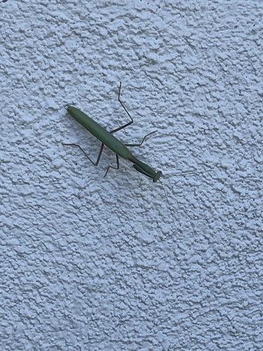
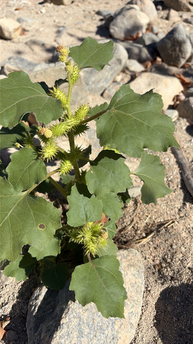
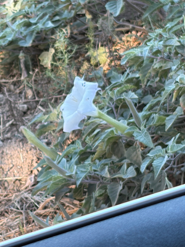
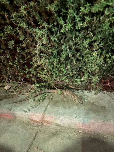
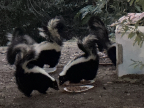
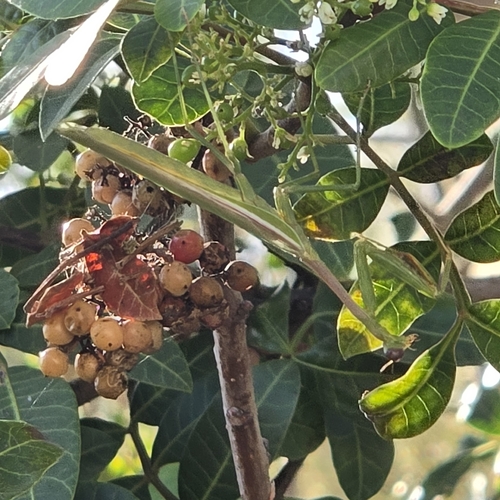
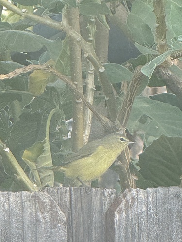
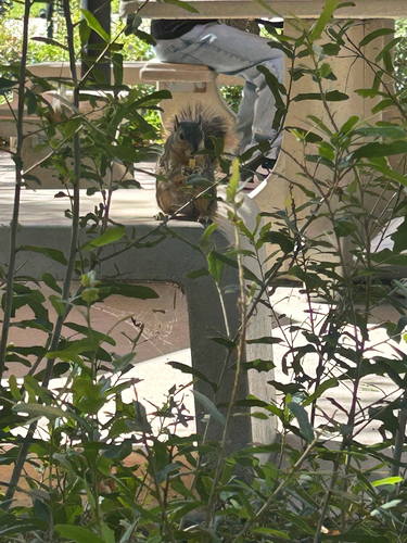
Research-grade observations from iNaturalist (within ~15 mi).
Nearest stream gauge
Events
Gallery
Sources
- • Wikipedia
- • US Census Bureau (ACS 5-year estimates)
- • Wikidata
- • Open-Meteo Air Quality (CAMS)
- • USGS Earthquake Catalog (global feed)
- • NCES via Urban Institute Education Data Portal
- • GBIF (Global Biodiversity Information Facility)
- • iNaturalist
- • CDC PLACES
- • NASA EONET