Browse / United States / California / San Mateo
San Mateo
Californiacity

San Mateo
Total population
103,013
Median home value
$1,639,400
Bachelor's+
Median income
$162,100
Demographic figures from US Census Bureau · ACS 5-year estimates. Overview below cites Wikipedia and may reference a different year.
- Coastal Flood Advisory · MinorCoastal Flood Advisory issued October 1 at 12:20PM PDT until October 2 at 6:00PM PDT by NWS San Francisco CA
- Heat Advisory · ModerateHeat Advisory issued October 1 at 9:43AM PDT until October 4 at 10:00PM PDT by NWS San Francisco CA
Source: NOAA National Weather Service.
City facts
Sister cities
Facts from Wikidata (CC0).
Overview
San Mateo is the most populous city in San Mateo County, California, United States, on the San Francisco Peninsula. It is part of the San Francisco Bay Area metropolitan region, and is located about 20 miles (32 km) south of San Francisco. San Mateo borders Burlingame to the north, Hillsborough to the west, San Francisco Bay and Foster City to the east and Belmont to the south. The population was 105,661 at the 2020 census. Some of the biggest economic drivers for the city include technology, health care and education.
Read more on WikipediaHistory & geography
History
The earliest known settlers of the Bay Area were the Ramaytush people, since at least 10000 BC. In 1789, the Spanish missionaries had named a Native American village along Laurel Creek as Los Laureles or the Laurels (Mission Dolores, 1789). At the time of Mexican Independence, 30 native Californians were at San Mateo, most likely from the Salson tribelet. In 1827, Captain Frederick William Beechey was traveling with the hills on their right, known in that part as the Sierra del Sur, began to approach the road, which passing over a small eminence, opened out upon "a wide country of meadow land, with clusters of fine oak free from underwood... It strongly resembled a nobleman's park: herds of cattle and horses were grazing upon the rich pasture, and numerous fallow‑deer, startled at the approach of strangers, bounded off to seek protection among the hills... This spot is named San Matheo, and belongs to the mission of San Francisco." in 1846 for and spent an equal sum erecting a fence around the property. The area that is now the city of San Mateo was owned by a few large landowners, including Howard, whose Rancho San Mateo occupied in 1853 north of San Mateo Creek, pushing most of this early settlement into adjacent Hillsborough, Burlingame, and Belmont; other significant landowners in the area included John Parrott, who purchased in 1860 Several historically important mansions and buildings were constructed in San Mateo around this time. It is located at 20 El Cerrito Avenue. The Howard Estate was built in 1859 on the hill accessed by Crystal Springs Road; the building, named El Cerrito, eventually was moved to Hillsborough and served as its Town Hall starting from in 1910, but it has since been demolished. its first mayor was Captain A.H. Payson, a son-in-law…
Geography
According to the United States Census Bureau, the city has a total area of , of which are land and , comprising 23.44%, are covered by water. The best-known natural area is Coyote Point Park, a rock outcropped peninsula that juts out into the San Francisco Bay. The early Spanish navigators named it la punta de San Mateo. Crews of American cargo ships carrying grain in the bay renamed it Big Coyote. Sailors had a penchant for naming promontories at the edge of San Francisco Bay after the coyote; across the bay in Fremont are the Coyote Hills, part of Coyote Hills Regional Park. By the 1890s, the shore area was developed as a popular beach called San Mateo Beach. In 1842, the Spanish had named it playa de San Mateo. Today, Coyote Point is home to CuriOdyssey, formerly known as the Coyote Point Museum, a major natural history museum and wildlife center in the state. The animal care facility for the Peninsula Humane Society is also situated at Coyote Point, where the adoption facility is located in Burlingame. The variety of natural habitats includes mixed oak woodland, riparian zones, and bayland marshes. One endangered species, the California clapper rail, was sighted feeding on mudflats by the Third Avenue bridge in San Mateo. The marsh areas are also likely habitat for the endangered salt marsh harvest mouse, which inhabits the middle and high zones of salt and brackish marshes, as well as for the endangered marsh plant, Point Reyes bird's beak. Sugarloaf Mountain, whose name has been documented in 1870, is a prominent landform between the forks of Laurel Creek. In the late 20th century, this mixed oak woodland and chaparral habitat was a site of controversy related to proposals to develop a portion of the mountain for residential use. It has been preserved for use…
Excerpted from the corresponding Wikipedia article (CC BY-SA).
Demographics & economy
Race & ethnicity
Source: US Census Bureau — American Community Survey, 5-year estimates.
Geography
Coordinates & boundaries from the US Census TIGER/Line shapefiles.
Climate
Current forecast
Forecast for San Mateo, CA from NOAA NWS API.
Air quality
Industrial & pollution facilities
Natural hazard risk
Health (adults)
Age-adjusted prevalence estimates from CDC PLACES (latest release).
Walkability
Amenities nearby
Wildlife & biodiversity
Most-observed species
- American CrowCorvus brachyrhynchos C.L.Brehm, 1822 · Aves67,083
- Anna's HummingbirdCalypte anna (R.Lesson, 1829) · Aves63,783
- House FinchHaemorhous mexicanus (P.L.Statius Müller, 1776) · Aves61,450
- Black PhoebeSayornis nigricans (Swainson, 1827) · Aves54,740
- White-crowned SparrowZonotrichia leucophrys (J.R.Forster, 1772) · Aves48,436
- California TowheeMelozone crissalis (Vigors, 1839) · Aves46,801
- Song SparrowMelospiza melodia (A.Wilson, 1810) · Aves46,125
- MallardAnas platyrhynchos Linnaeus, 1758 · Aves41,604
Citizen-science & research observations from the Global Biodiversity Information Facility (GBIF).
Schools
Largest nearby schools
- Carlmont HighHigh · Belmont · 2,322 students · 20.4:1 ratio
- Sequoia HighHigh · Redwood City · 1,909 students · 17.8:1 ratio
- Aragon HighHigh · San Mateo · 1,740 students · 23.2:1 ratio
- Woodside HighHigh · Woodside · 1,694 students · 16:1 ratio
- Hillsdale HighHigh · San Mateo · 1,629 students · 17.7:1 ratio
- San Mateo HighHigh · San Mateo · 1,613 students · 19.2:1 ratio
- Burlingame HighHigh · Burlingame · 1,519 students · 21.1:1 ratio
- South San Francisco HighHigh · South San Francisco · 1,280 students · 19.4:1 ratio
Public K–12 schools within ~10 mi from Urban Institute Education Data Portal (NCES Common Core of Data, 2022).
Earthquake history
Most recent
- M 2.54 — 2026-10-1510 km ESE of Gilroy, CA
- M 2.51 — 2026-09-295 km W of Yountville, CA
- M 2.6 — 2026-09-2726 km WSW of Westley, CA
- M 3.32 — 2026-09-2727 km WSW of Westley, CA
- M 2.51 — 2026-09-1910 km ENE of Milpitas, CA
- M 2.53 — 2026-09-172 km ENE of Aromas, CA
Events from the USGS Earthquake Catalog (global) (FDSN Event Web Service).
Photos
Sights & places nearby
Notable people from here


People born within ~10 km, from Wikidata (CC0). Click any name for their Wikipedia article.
Nearby places in California
Geography & sun
Elevation, sunrise/sunset and daylight from Open-Meteo. Solar climatology from NASA POWER.
Nearby airports
Public attention
Pageview totals from the Wikimedia Pageviews API.
Books about San Mateo
Search results from Open Library.
Recent natural events nearby
- Wildfire GANN, Calaveras, CaliforniaWildfires · 2026-08-03 · 92 mi
- Wildfire Timber, Monterey, CaliforniaWildfires · 2026-08-09 · 99 mi
- Wildfire LUCAS, Lake, CaliforniaWildfires · 2026-09-10 · 121 mi
- Wildfire LUCAS, Lake, CaliforniaWildfires · 2026-09-10 · 122 mi
- Wildfire Plaskett, Monterey, CaliforniaWildfires · 2026-08-26 · 125 mi
- Wildfire DOME, Mariposa, CaliforniaWildfires · 2026-09-15 · 148 mi
- Wildfire FLORISTON, Nevada, CaliforniaWildfires · 2026-09-16 · 177 mi
- Wildfire Bull, Washoe, NevadaWildfires · 2026-10-02 · 186 mi
Wildfires, storms and other events from NASA EONET (last 12 months, within 250 mi).
Ground air-quality sensors
Recently spotted species
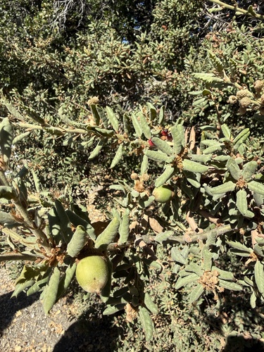
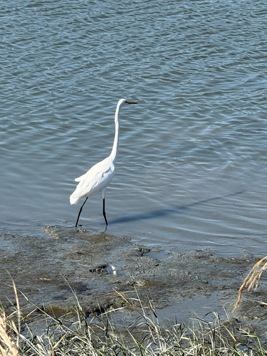
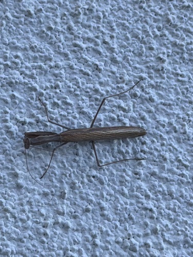
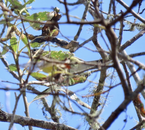
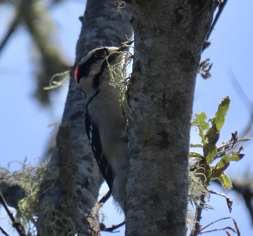
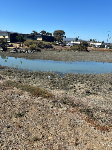
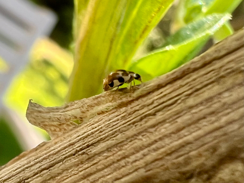
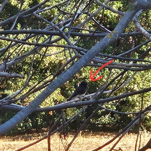
Research-grade observations from iNaturalist (within ~15 mi).
Nearest stream gauge
Events
Notable, recurring, and historical events associated with San Mateo, sourced from Wikidata.
- Jun 30, 2007
Source: Wikidata (CC0).
Gallery
Sources
- • Wikipedia
- • US Census Bureau (ACS 5-year estimates)
- • NOAA National Weather Service
- • Wikidata
- • USGS Earthquake Catalog (global feed)
- • NCES via Urban Institute Education Data Portal
- • GBIF (Global Biodiversity Information Facility)
- • iNaturalist
- • CDC PLACES
- • Open-Meteo / sunrise-sunset.org
- • Wikipedia Pageviews API
- • Open Library
- • NASA EONET