Browse / United States / California / San Rafael
San Rafael
Californiacity

San Rafael
Total population
60,433
Median home value
$1,355,600
Bachelor's+
Median income
$119,435
Demographic figures from US Census Bureau · ACS 5-year estimates. Overview below cites Wikipedia and may reference a different year.
City facts
Sister cities
Facts from Wikidata (CC0).
Overview
San Rafael is a city in and the county seat of Marin County, California, United States. The city is located in the North Bay region of the San Francisco Bay Area. As of the 2020 census, San Rafael had a population of 61,271.
Read more on WikipediaHistory & geography
History
San Rafael was once the site of several Coast Miwok villages: Awani-wi, near downtown San Rafael; Ewu, near Terra Linda; and Shotomko-cha, in Marinwood. Mission San Rafael Arcángel was founded as the 20th Spanish mission in the colonial province of Alta California by three priests—Father Narciso Durán from Mission San José, Father Abella from Mission San Francisco de Asís, Father Luis Gíl y Taboada from La Iglesia de Nuestra Señora Reina de los Angeles—on December 14, 1817, four years before Mexico gained independence from Spain. The mission from which the downtown grew and the city being named after the Archangel Raphael, the Angel of Healing. The mission was originally planned as a hospital site for Central Valley American Indians who had become ill at the cold San Francisco Mission Dolores. Father Luis Gil, who spoke several Native American languages, was put in charge of the facility. In part because of its ideal weather, San Rafael was later upgraded to full mission status in 1822. The mission had 300 converts within its first year, and 1,140 converts by 1828. Following the Mexican secularization act of 1833, the Mexican government took over the California missions in 1834, and Mission San Rafael was abandoned in 1844, eventually falling into ruin. San Rafael has been the seat of Marin County since April 25, 1851. The San Francisco and North Pacific Railroad reached San Rafael in 1879 and was linked to the national rail network in 1888. The United States Navy operated a San Pablo Bay degaussing range from San Rafael through World War II.
Geography
According to the United States Census Bureau, the city has a total area of , of which is land and (26.42%) is water. and again on September 6, 2020. The record lowest temperature was on December 22, 1990. There are an average of 17.9 afternoons annually with a high of or more and 1.2 afternoons with a high of or more. Freezing temperatures ( or below) occur on an average of 3.6 mornings. Total annual precipitation averages , with an average of 64.3 days with measurable rain. The rainy season is from November to early April: rain is rare outside of this period and it is normal to receive no rain in June, July, August, and September. The wettest "rain year" was from July 1994 to June 1995 with and the driest from July 1975 to June 1976 with . The most rain in one month was in January 1995, and the heaviest 24-hour rainfall was on December 11, 1995. A trace of snow was recorded on January 30, 1976.
Excerpted from the corresponding Wikipedia article (CC BY-SA).
Demographics & economy
Race & ethnicity
Source: US Census Bureau — American Community Survey, 5-year estimates.
Geography
Coordinates & boundaries from the US Census TIGER/Line shapefiles.
Climate
Current forecast
Forecast for San Rafael, CA from NOAA NWS API.
Air quality
Industrial & pollution facilities
Natural hazard risk
Health (adults)
Age-adjusted prevalence estimates from CDC PLACES (latest release).
Walkability
Amenities nearby
Wildlife & biodiversity
Most-observed species
- American CrowCorvus brachyrhynchos C.L.Brehm, 1822 · Aves62,604
- House FinchHaemorhous mexicanus (P.L.Statius Müller, 1776) · Aves52,707
- Anna's HummingbirdCalypte anna (R.Lesson, 1829) · Aves50,417
- Turkey VultureCathartes aura (Linnaeus, 1758) · Aves39,565
- Black PhoebeSayornis nigricans (Swainson, 1827) · Aves39,431
- California TowheeMelozone crissalis (Vigors, 1839) · Aves39,239
- White-crowned SparrowZonotrichia leucophrys (J.R.Forster, 1772) · Aves36,912
- Song SparrowMelospiza melodia (A.Wilson, 1810) · Aves36,332
Citizen-science & research observations from the Global Biodiversity Information Facility (GBIF).
Schools
Largest nearby schools
- Redwood HighHigh · Larkspur · 1,862 students · 20.5:1 ratio
- Tamalpais HighHigh · Mill Valley · 1,540 students · 20.3:1 ratio
- Novato HighHigh · Novato · 1,458 students · 23.5:1 ratio
- San Rafael HighHigh · San Rafael · 1,265 students · 21.8:1 ratio
- Archie Williams HighHigh · San Anselmo · 1,224 students · 19.4:1 ratio
- Terra Linda HighHigh · San Rafael · 1,189 students · 20.9:1 ratio
- James B. Davidson MiddleMiddle · San Rafael · 1,063 students · 20.1:1 ratio
- Mill Valley MiddleMiddle · Mill Valley · 797 students · 16.3:1 ratio
Public K–12 schools within ~10 mi from Urban Institute Education Data Portal (NCES Common Core of Data, 2022).
Earthquake history
Photos
Sights & places nearby
Notable people from here


People born within ~10 km, from Wikidata (CC0). Click any name for their Wikipedia article.
Nearby places in California
- Ross3.2 mi away · pop. 2,606
- San Anselmo3.4 mi away
- North Richmond7.5 mi away
- San Geronimo8.7 mi away
- Black Point-Green Point9 mi away
- Muir Beach9.2 mi away
- Rollingwood9.7 mi away · pop. 3,627
- Pinole10.4 mi away
- East Richmond Heights10.8 mi away
- El Sobrante11.1 mi away
- Nicasio11.9 mi away
- Point Reyes Station17.9 mi away
Geography & sun
Elevation, sunrise/sunset and daylight from Open-Meteo. Solar climatology from NASA POWER.
Nearby airports
Public attention
Pageview totals from the Wikimedia Pageviews API.
Books about San Rafael

Search results from Open Library.
Recent natural events nearby
- Wildfire LUCAS, Lake, CaliforniaWildfires · 2026-09-10 · 90 mi
- Wildfire LUCAS, Lake, CaliforniaWildfires · 2026-09-10 · 91 mi
- Wildfire GANN, Calaveras, CaliforniaWildfires · 2026-08-03 · 95 mi
- Wildfire Timber, Monterey, CaliforniaWildfires · 2026-08-09 · 129 mi
- Wildfire Plaskett, Monterey, CaliforniaWildfires · 2026-08-26 · 156 mi
- Wildfire DOME, Mariposa, CaliforniaWildfires · 2026-09-15 · 160 mi
- Wildfire FLORISTON, Nevada, CaliforniaWildfires · 2026-09-16 · 166 mi
- Wildfire Bull, Washoe, NevadaWildfires · 2026-10-02 · 173 mi
Wildfires, storms and other events from NASA EONET (last 12 months, within 250 mi).
Ground air-quality sensors
Recently spotted species
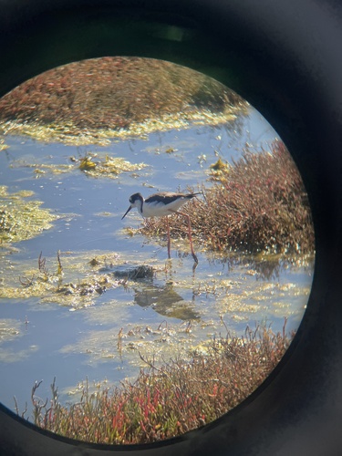
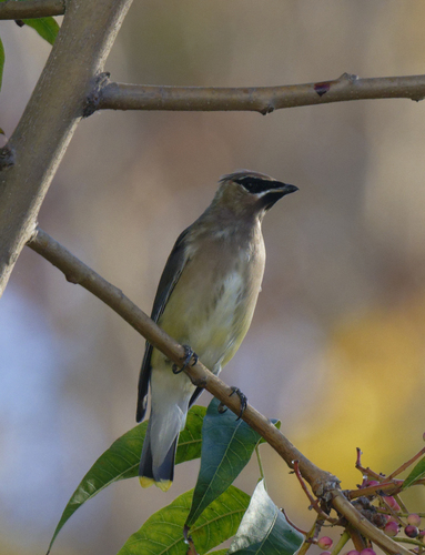
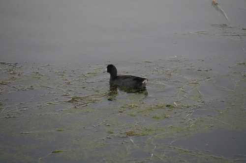
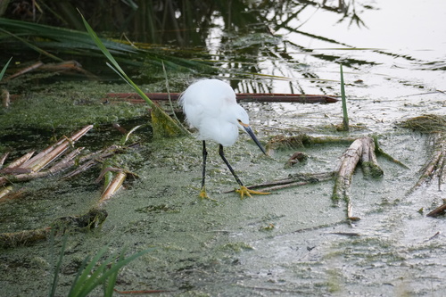
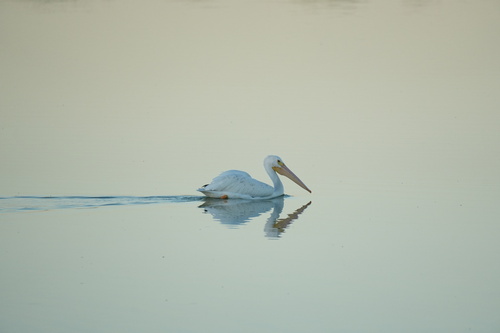
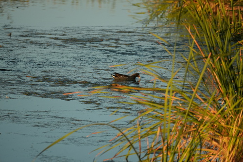
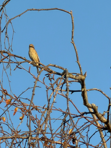
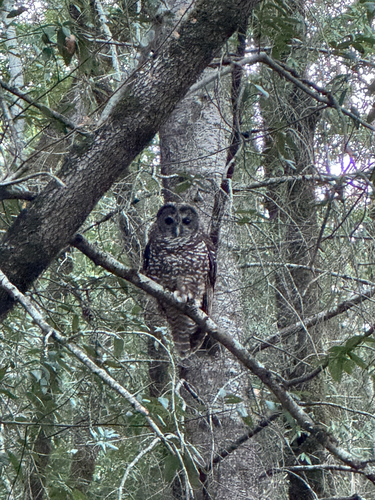
Research-grade observations from iNaturalist (within ~15 mi).
Nearest stream gauge
Live readings from USGS NWIS · measured 2026-10-16 18:30 UTC.
Events
Gallery
Sources
- • Wikipedia
- • US Census Bureau (ACS 5-year estimates)
- • NOAA National Weather Service
- • Wikidata
- • USGS NWIS (water data)
- • NCES via Urban Institute Education Data Portal
- • GBIF (Global Biodiversity Information Facility)
- • iNaturalist
- • CDC PLACES
- • Open-Meteo / sunrise-sunset.org
- • Wikipedia Pageviews API
- • Open Library
- • NASA EONET