Browse / United States / California / Santa Monica
Santa Monica
Californiacity

Santa Monica
Total population
90,740
Median home value
$2,000,001
Bachelor's+
Median income
$130,928
Founded
1769
Demographic figures from US Census Bureau · ACS 5-year estimates. Overview below cites Wikipedia and may reference a different year.
- Heat Advisory · ModerateHeat Advisory issued October 15 at 7:38AM PDT until October 17 at 8:00PM PDT by NWS Los Angeles/Oxnard CA
Source: NOAA National Weather Service.
City facts
Facts from Wikidata (CC0).
Overview
Santa Monica is a city in Los Angeles County, California, United States. It is situated along Santa Monica Bay on California's South Coast. As of the 2020 census, Santa Monica had a population of 93,076. Santa Monica is a popular resort town, owing to its climate, beaches, and hospitality industry. It has a diverse economy, hosting headquarters of companies such as Hulu, Activision Blizzard, Universal Music Group, Starz Entertainment, Lionsgate Studios, Illumination, Snap Inc., Paramount Skydance (former), and The Recording Academy.
Read more on WikipediaHistory & geography
History
The Tongva are indigenous to the Santa Monica area. The village of Comicranga was established in the Santa Monica area. One of the village's notable residents was Victoria Reid, who was the daughter of the chief of the village. During the Spanish period, she was taken to Mission San Gabriel from her parents at the age of six. In 1839, Governor Juan Bautista Alvarado granted Rancho San Vicente y Santa Mónica to Francisco Sepúlveda II, of the Sepúlveda family of California. As the definitions of the rancho grant were not precise, the Sepúlveda family came into conflict with the neighboring Rancho Boca de Santa Mónica, owned by Ysidro Reyes and Francisco Márquez. A small Californio community grew up on Rancho San Vicente y Santa Mónica, made up primarily of vaqueros working on the rancho and their families. After the American conquest of California, Mexico signed the Treaty of Guadalupe Hidalgo, which gave Mexicans and Californios living in the state certain unalienable rights. U.S. government sovereignty in California began on February 2, 1848. In the 1870s, the Los Angeles and Independence Railroad connected Santa Monica with Los Angeles, and a wharf out into the bay. The first town hall was an 1873 brick building, later a beer hall, and now part of the Santa Monica Hostel. By 1885, the town's first hotel was the Santa Monica Hotel. Amusement piers became popular in the first decades of the 20th century, and the extensive Pacific Electric Railway brought people to the city's beaches from across the Greater Los Angeles Area. Around the start of the 20th century, a growing population of Asian Americans lived in and around Santa Monica and Venice. A Japanese fishing village was near the Long Wharf, while small numbers of Chinese lived or worked in Santa Monica and…
Geography
Santa Monica rests on a mostly flat slope that angles down toward Ocean Avenue and toward the south. High bluffs separate the north side of the city from the beaches. Santa Monica borders the L.A. neighborhoods of Pacific Palisades to the north and Venice to the south. To the west, Santa Monica has a coastline fronting Santa Monica Bay, and to the east of the city are the L.A. communities of West Los Angeles and Brentwood. Santa Monica has a coastal Mediterranean climate (Köppen: Csb). It receives an average of 310 days of sunshine a year. It is in USDA plant hardiness zone 11a. Because of its location, nestled on the vast and open Santa Monica Bay, morning fog is a common phenomenon in May, June, July and early August (caused by ocean temperature variations and currents). Like other inhabitants of the greater Los Angeles area, residents have a particular terminology for this phenomenon: the "May Gray", the "June Gloom", and even "Fogust". Overcast skies are common on June mornings, but usually the strong sun burns the fog off by noon. In the late winter/early summer, daily fog is a phenomenon, too. It happens suddenly and it may last some hours or past sunset time. Nonetheless, it will sometimes stay cloudy and cool all day during June, even as other parts of the Los Angeles area experience sunny skies and warmer temperatures. At times, the sun can be shining east of 20th Street while the beach area is overcast. As a general rule, the beach temperature is from 5 to 10 degrees Fahrenheit (3 to 6 degrees Celsius) cooler than it is inland during summer days, and 5 to 10 degrees warmer during winter nights. It is also in September that the highest temperatures tend to be reached. It is winter, however, when the hot, dry winds of the Santa Anas are most common. In…
Excerpted from the corresponding Wikipedia article (CC BY-SA).
Demographics & economy
Race & ethnicity
Source: US Census Bureau — American Community Survey, 5-year estimates.
Geography
Coordinates & boundaries from the US Census TIGER/Line shapefiles.
Climate
Current forecast
Forecast for Santa Monica, CA from NOAA NWS API.
Air quality
Industrial & pollution facilities
Natural hazard risk
Health (adults)
Age-adjusted prevalence estimates from CDC PLACES (latest release).
Walkability
Amenities nearby
Wildlife & biodiversity
Most-observed species
- House FinchHaemorhous mexicanus (P.L.Statius Müller, 1776) · Aves38,403
- American CrowCorvus brachyrhynchos C.L.Brehm, 1822 · Aves32,629
- Black PhoebeSayornis nigricans (Swainson, 1827) · Aves31,627
- Mourning DoveZenaida macroura (Linnaeus, 1758) · Aves27,930
- Allen's HummingbirdSelasphorus sasin (R.Lesson, 1829) · Aves26,508
- Yellow-rumped WarblerSetophaga coronata (Linnaeus, 1766) · Aves24,756
- Dark-eyed JuncoJunco hyemalis (Linnaeus, 1758) · Aves24,186
- California TowheeMelozone crissalis (Vigors, 1839) · Aves23,553
Citizen-science & research observations from the Global Biodiversity Information Facility (GBIF).
Schools
Largest nearby schools
- Palisades Charter HighHigh · Pacific Palisades · 2,959 students · 23.3:1 ratio
- Santa Monica HighHigh · Santa Monica · 2,678 students · 19.5:1 ratio
- Alexander Hamilton Senior HighHigh · Los Angeles · 2,259 students · 18.1:1 ratio
- Culver City HighHigh · Culver City · 2,155 students · 22.4:1 ratio
- Venice Senior HighHigh · Los Angeles · 2,107 students · 22.4:1 ratio
- Paul Revere Charter MiddleMiddle · Los Angeles · 1,718 students · 24.5:1 ratio
- Fairfax Senior HighHigh · Los Angeles · 1,632 students · 18.5:1 ratio
- Larchmont CharterOther · West Hollywood · 1,620 students · 23.1:1 ratio
Public K–12 schools within ~10 mi from Urban Institute Education Data Portal (NCES Common Core of Data, 2022).
Earthquake history
Most recent
- M 3.16 — 2026-10-092 km SW of Signal Hill, CA
- M 2.7 — 2026-10-082 km WNW of Fontana, CA
- M 2.51 — 2026-10-0531 km SW of Dana Point, CA
- M 2.81 — 2026-10-0532 km SW of Dana Point, CA
- M 3.48 — 2026-10-0531 km SW of Dana Point, CA
- M 3.81008714964485 — 2026-09-304 km SE of Piru, CA
Events from the USGS Earthquake Catalog (global) (FDSN Event Web Service).
Photos
Sights & places nearby
Notable people from here


People born within ~10 km, from Wikidata (CC0). Click any name for their Wikipedia article.
Nearby places in California
- Culver City5.8 mi away · pop. 40,779
- Beverly Hills7.2 mi away · pop. 32,701
- El Segundo8.1 mi away
- Del Aire9.8 mi away
- Alondra Park12.5 mi away
- Bell Canyon17.4 mi away
- Cudahy18.4 mi away · pop. 22,811
- East Los Angeles18.9 mi away
- East Rancho Dominguez19.1 mi away
- Bell Gardens20 mi away · pop. 39,501
- Commerce20 mi away
- Altadena24.2 mi away
Geography & sun
Elevation, sunrise/sunset and daylight from Open-Meteo. Solar climatology from NASA POWER.
Nearby airports
Public attention
Pageview totals from the Wikimedia Pageviews API.
Books about Santa Monica

Search results from Open Library.
Recent natural events nearby
- Wildfire RIDGE, Los Angeles, CaliforniaWildfires · 2026-08-07 · 57 mi
- Wildfire BUZZARD, Kern, CaliforniaWildfires · 2026-08-05 · 66 mi
- Wildfire PLAINS, San Luis Obispo, CaliforniaWildfires · 2026-08-12 · 129 mi
- Prescribed Fire CRAWFORD CORRAL RX, Tulare, CaliforniaWildfires · 2026-09-19 · 181 mi
- Wildfire Plaskett, Monterey, CaliforniaWildfires · 2026-08-26 · 211 mi
- Wildfire Timber, Monterey, CaliforniaWildfires · 2026-08-09 · 237 mi
Wildfires, storms and other events from NASA EONET (last 12 months, within 250 mi).
Ground air-quality sensors
Recently spotted species
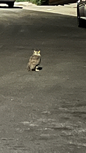
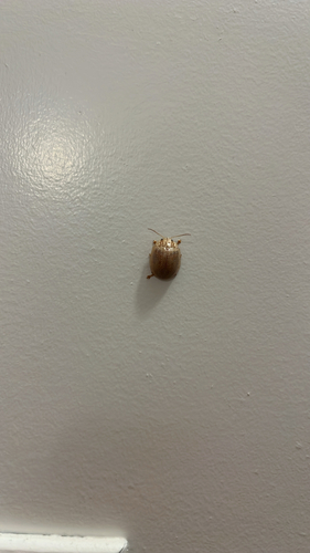
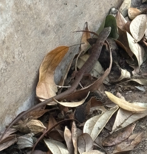
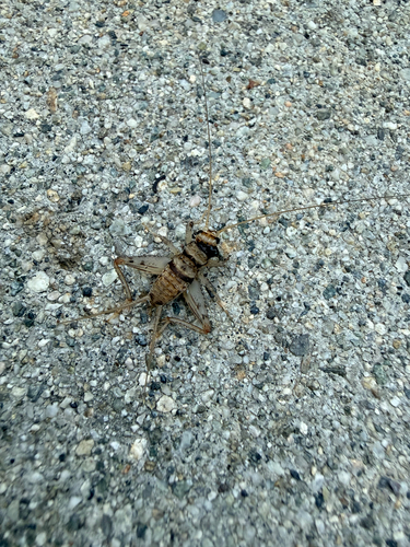
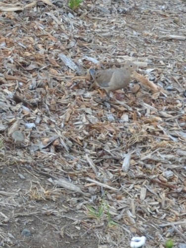
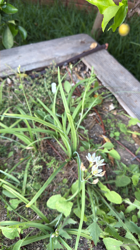
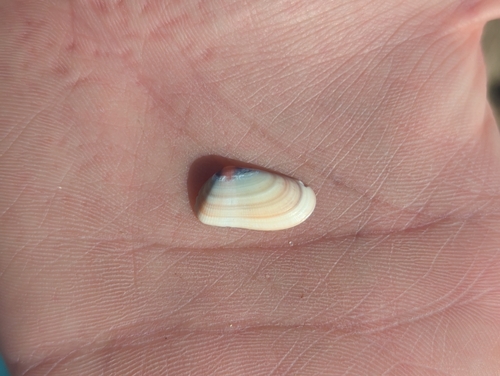
Research-grade observations from iNaturalist (within ~15 mi).
Nearest stream gauge
Events
Notable, recurring, and historical events associated with Santa Monica, sourced from Wikidata.
- May 31, 2020
- Jan 12, 2020
- 10th Critics' Choice Television AwardsJan 12, 2020award ceremony
- 9th Critics' Choice Television AwardsJan 13, 2019award ceremony
- Jan 13, 2019
- Jan 11, 2018
- Dec 11, 2016
- Dec 11, 2016
- Jan 17, 2016
- Jan 1, 2016
- Jan 16, 2014
- Jan 1, 2013
- 28th Golden Raspberry AwardsFeb 23, 2008award ceremony
award ceremony presented by the Golden Raspberry Award Foundation for worst cinematic under-achievements in 2007
- Mar 23, 2002
- Mar 24, 2001
- Aug 6, 2000
- Mar 25, 2000
- Mar 20, 1999
- Mar 21, 1998
- Mar 22, 1997
Source: Wikidata (CC0).
Gallery
Geotagged photos within ~6 miles of Santa Monica, from Wikimedia Commons contributors.
 0 mi
0 mi 0 mi
0 mi 0.1 mi
 0.1 mi
.jpg) 0.1 mi
0.1 mi 0.1 mi
 0.1 mi
 0.1 mi
 0.1 mi
 0.1 mi
 0.1 mi
_-_panoramio.jpg) 0.1 mi
0.1 mi.jpg) 0.1 mi
0.1 mi.jpg) 0.1 mi
0.1 mi.jpg) 0.1 mi
0.1 mi.jpg) 0.1 mi
0.1 mi.jpg) 0.1 mi
0.1 mi.jpg) 0.1 mi
0.1 mi.jpg) 0.1 mi
0.1 mi.jpg) 0.1 mi
0.1 mi.jpg) 0.1 mi
0.1 mi.jpg) 0.1 mi
0.1 mi.jpg) 0.1 mi
0.1 mi.jpg) 0.1 mi
0.1 miPhotos via Wikimedia Commons — see each image page for license & attribution.
Sources
- • Wikipedia
- • US Census Bureau (ACS 5-year estimates)
- • NOAA National Weather Service
- • Wikimedia Commons
- • Wikidata
- • USGS Earthquake Catalog (global feed)
- • NCES via Urban Institute Education Data Portal
- • GBIF (Global Biodiversity Information Facility)
- • iNaturalist
- • CDC PLACES
- • Open-Meteo / sunrise-sunset.org
- • Wikipedia Pageviews API
- • Open Library
- • NASA EONET