Browse / Canada / New Brunswick / Shippagan
Shippagan
New Brunswicktown

Shippagan
Demographic figures from Statistics Canada. Overview below cites Wikipedia and may reference a different year.
City facts
Facts from Wikidata (CC0).
Overview
Shippagan is a Canadian town within Shippegan Parish, Gloucester County, New Brunswick.
Read more on WikipediaHistory & geography
History
The town was founded by Jean Mallet (son of Francois Mallet and Marie Madeleine Larocque) and Marie Josephte Duguay (daughter of Rene Duguay and Marguerite LeBreton) from Paspébiac, Quebec and the Robichaux family from Bonaventure, Quebec in 1790, as a result of expansion of the Charles Robin Company. Jean-Baptiste Robichaux was in 1798 the first settler from Grand Chipagan to petition the government for title to his land, in 1798; he was the son of an expelled Acadian. The location of the town is an ideal spot for fishing, which was its first economic product, as well as exporting timber from further inland. There are also numerous peat bogs in the area, and their exploitation continues to this day. Shippagan is home to campuses of the Université de Moncton and New Brunswick Community College. On 25 May 2021, Shippagan elected Kassim Doumbia as mayor, making him the first Black mayor in New Brunswick. The name originates from the Mi'kmaq Sepagun-chiche, which roughly translates as "Ducks' transit route". This name described the immediate region rather than the specific location of the current settlement that inherited the name. Different spellings have been applied over the years. None of the earliest known francophone explorers such as Jacques Cartier, Samuel de Champlain and Nicolas Denys mentions the name Shippagan, which appears in writing for the first time only in 1656 when Ignatius of Paris, a Capucine missionary, wrote to his superiors recommending the establishment of four or five missionary posts, one of which he called "Cibaguensi", a Latinised form of Shippagan. During the eighteenth century various orthographies were used for the nearby settlement on the site of what is now Bas-Caraquet, most commonly Chipagan, and this is the name subsequently…
Geography
Shippagan is located in the northeastern part of the Acadian Peninsula: a combination bridge-causeway connects the town with Lamèque Island to the northeast. The peninsula is approximately 5 km (3 miles) long and at maximum 5 km (3 miles) wide, bordered on the north-west by Shippagan Bay, to the north by Shippagan harbour to the east by the Gulf of Saint Lawrence and to the west by St Simon's Bay. Approximately 99% of the town's residents are Francophone.
Excerpted from the corresponding Wikipedia article (CC BY-SA).
Geography
Coordinates & boundaries from the US Census TIGER/Line shapefiles.
Climate
Air quality
Walkability
Amenities nearby
Wildlife & biodiversity
Earthquake history
Photos
Sights & places nearby
Notable people from here


People born within ~10 km, from Wikidata (CC0). Click any name for their Wikipedia article.
Nearby places in New Brunswick
Geography & sun
Elevation, sunrise/sunset and daylight from Open-Meteo. Solar climatology from NASA POWER.
Nearby airports
Public attention
Pageview totals from the Wikimedia Pageviews API.
Books about Shippagan
Search results from Open Library.
Recent natural events nearby
Ground air-quality sensors
Recently spotted species
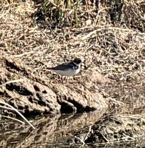
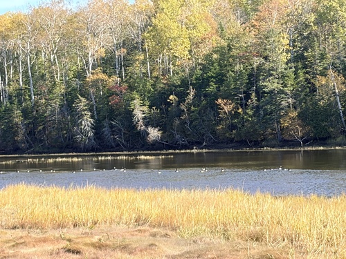
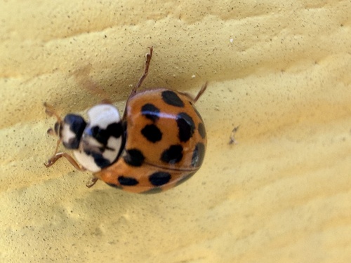
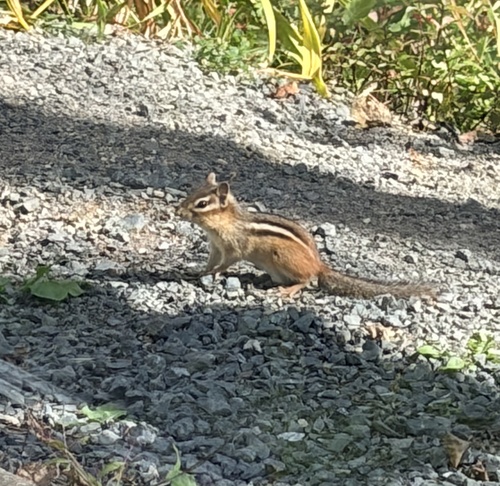
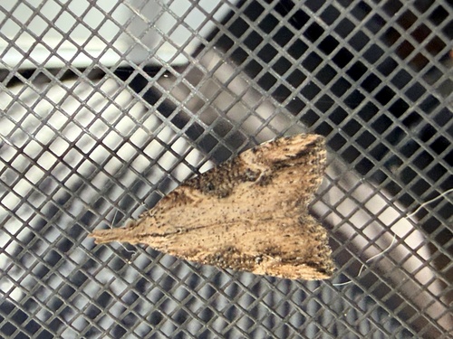
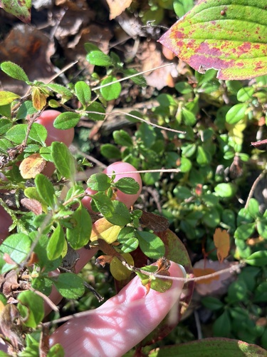
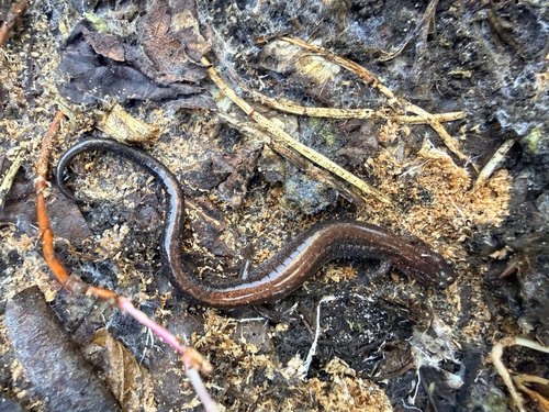
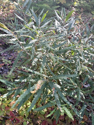
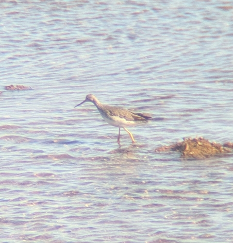
Research-grade observations from iNaturalist (within ~15 mi).
Events
Gallery
Official Identifiers
StatCan — Statistics Canada
- SGC code
- 1315031
- Wikidata
- Q1006756
Standard Geographical Classification (SGC) via Wikidata P3012
Sources
- • Wikipedia
- • Wikidata
- • iNaturalist
- • Open-Meteo / sunrise-sunset.org
- • Wikipedia Pageviews API
- • Open Library
- • StatCan — Statistics Canada — Standard Geographical Classification (SGC) via Wikidata P3012