Browse / United States / California / Simi Valley
Simi Valley
Californiacity

Simi Valley
Total population
125,773
Median home value
$868,900
Bachelor's+
Median income
$132,408
Founded
1969
Demographic figures from US Census Bureau · ACS 5-year estimates. Overview below cites Wikipedia and may reference a different year.
- Wind Advisory · ModerateWind Advisory issued October 16 at 7:50PM PDT until October 17 at 2:00PM PDT by NWS Los Angeles/Oxnard CA
- Red Flag Warning · SevereRed Flag Warning issued October 16 at 5:42PM PDT until October 17 at 8:00PM PDT by NWS Los Angeles/Oxnard CA
Source: NOAA National Weather Service.
City facts
Facts from Wikidata (CC0).
Overview
Simi Valley is a city in the valley of the same name in southeastern Ventura County, California, United States. It is 37 miles (60 km) northwest of Downtown Los Angeles, making it part of the Greater Los Angeles Area. Simi Valley borders Thousand Oaks, Moorpark, and the Chatsworth neighborhood of Los Angeles. As of the 2020 census, Simi Valley had a population of 126,356. The city of Simi Valley is surrounded by the Santa Susana Mountains and the Simi Hills, west of the San Fernando Valley, and northeast of the Conejo Valley. It grew as a bedroom community for the cities in the Los Angeles area and the San Fernando Valley when a freeway was built over the Santa Susana Pass.
Read more on WikipediaHistory & geography
History
Simi Valley's name is derived from the Chumash word Shimiyi, which refers to the stringy, thread-like clouds that typify the region. The name could have originated from the strands of mist from coastal fog that move into the Oxnard Plain and wind their way up the Calleguas Creek and the Arroyo Las Posas into Simi Valley. The origin of the name was preserved because of the work of the anthropologist John P. Harrington, whose brother, Robert E. Harrington lived in Simi Valley. Robert Harrington later explained the name: "The word Simiji in Indian meant the little white wind clouds so often seen when the wind blows up here and Indians living on the coast, would never venture up here when those wind clouds were in the sky. The word Simiji was constructed by whites to the word Simi. There are other explanations about the name Simi, but this one was given to me by my brother who worked over 40 years for the Smithsonian Institution and it seems most plausible to me". Three Chumash settlements existed in Simi Valley during the Mission period in the late 18th and early 19th century: Shimiyi, Ta'apu (present-day Tapo Canyon), and Kimishax or Quimicas (Happy Camp Canyon west of Moorpark College). There are many Chumash cave paintings in the area containing pictographs, including the Burro Flats Painted Cave in the Burro Flats area of the Simi Hills, located between the Simi Valley, West Hills, and Bell Canyon. The cave is located on private land owned by NASA. Other areas containing Chumash Native American pictographs in the Simi Hills are by Lake Manor and Chatsworth. The first Europeans to visit Simi Valley were members of the Spanish Portolá expedition (1769–1770), the first European land entry and exploration of the present-day state of California. The expedition traversed…
Geography
Simi Valley is a city located in the very southeast corner of Ventura County, bordering the San Fernando Valley in Los Angeles County, and is a part of the Greater Los Angeles Area. The city of Simi Valley primarily consists of the eponymous valley itself. The city of Simi Valley borders the Santa Susana Mountains to the north, the Simi Hills to the east and south, and is adjacent to Thousand Oaks to the southwest and Moorpark to the west. Simi Valley is connected to the nearby San Fernando Valley by the Santa Susana Pass in the extreme east of Simi Valley. The syncline Simi Valley is located in the western part of the region called the Transverse Ranges. While the Santa Susana Mountains separate the valley from the Los Padres National Forest in the north, the Simi Hills separate it from Conejo Valley in the south. In the extreme east is Rocky Peak, one of Santa Susana Mountains' highest peaks, which is a dividing line between Ventura County to the west and Los Angeles County to the east. On the other side of the valley, in the extreme west side of Simi Valley is Mount McCoy, which may be most known for its 12 ft. concrete cross that sits at its peak. The physiographical valley is a structural as well as a topographic depression. The Simi Valley, just as neighboring San Fernando Valley, owes its existence and shape to the faulting and folding of the rocks. It is essentially a structural valley and not wholly the work of erosion. It is drained by the Calleguas Creek and also its principal tributary, Conejo Creek. Both of these originate in the Santa Susana Mountains. According to the United States Census Bureau, the city has a total area of 42.2 sq mi (109.4 km2), comprising 41.5 sq mi (107.4 km2) of land and 0.77 sq mi (2.0 km2), or 1.81%, of it is…
Excerpted from the corresponding Wikipedia article (CC BY-SA).
Demographics & economy
Race & ethnicity
Source: US Census Bureau — American Community Survey, 5-year estimates.
Geography
Coordinates & boundaries from the US Census TIGER/Line shapefiles.
Climate
Current forecast
Forecast for Simi Valley, CA from NOAA NWS API.
Air quality
Industrial & pollution facilities
Natural hazard risk
Health (adults)
Age-adjusted prevalence estimates from CDC PLACES (latest release).
Walkability
Amenities nearby
Wildlife & biodiversity
Most-observed species
- House FinchHaemorhous mexicanus (P.L.Statius Müller, 1776) · Aves20,440
- American CrowCorvus brachyrhynchos C.L.Brehm, 1822 · Aves16,245
- Lesser GoldfinchSpinus psaltria (Say, 1822) · Aves15,436
- Mourning DoveZenaida macroura (Linnaeus, 1758) · Aves14,413
- California TowheeMelozone crissalis (Vigors, 1839) · Aves12,780
- Black PhoebeSayornis nigricans (Swainson, 1827) · Aves12,595
- California/Woodhouse's Scrub-JayAphelocoma californica (Vigors, 1839) · Aves12,269
- Anna's HummingbirdCalypte anna (R.Lesson, 1829) · Aves12,242
Citizen-science & research observations from the Global Biodiversity Information Facility (GBIF).
Schools
Largest nearby schools
- California Virtual Academy @ Los AngelesOther · Simi Valley · 5,407 students · 28.2:1 ratio
- California Virtual Academy @ San DiegoOther · Simi Valley · 3,294 students · 28.6:1 ratio
- California Virtual Academy @ San JoaquinOther · Simi Valley · 2,561 students · 28.8:1 ratio
- Westlake HighHigh · Westlake Village · 2,083 students · 23.4:1 ratio
- Royal HighHigh · Simi Valley · 1,973 students · 22.2:1 ratio
- Simi Valley HighHigh · Simi Valley · 1,935 students · 23.6:1 ratio
- Moorpark HighHigh · Moorpark · 1,849 students · 26:1 ratio
- Thousand Oaks HighHigh · Thousand Oaks · 1,771 students · 20.6:1 ratio
Public K–12 schools within ~10 mi from Urban Institute Education Data Portal (NCES Common Core of Data, 2022).
Earthquake history
Most recent
- M 3.16 — 2026-10-092 km SW of Signal Hill, CA
- M 2.69 — 2026-10-057 km SE of Goleta, CA
- M 3.81008714964485 — 2026-09-304 km SE of Piru, CA
- M 3.55404092525043 — 2026-09-277 km WSW of Hermosa Beach, CA
- M 2.53 — 2026-09-1811 km N of Fillmore, CA
- M 2.94 — 2026-09-174 km SSE of Compton, CA
Events from the USGS Earthquake Catalog (global) (FDSN Event Web Service).
Photos
Sights & places nearby
Notable people from here


People born within ~10 km, from Wikidata (CC0). Click any name for their Wikipedia article.
Nearby places in California
Geography & sun
Elevation, sunrise/sunset and daylight from Open-Meteo. Solar climatology from NASA POWER.
Nearby airports
Public attention
Pageview totals from the Wikimedia Pageviews API.
Books about Simi Valley


Search results from Open Library.
Recent natural events nearby
- Wildfire BOUQUET, Los Angeles, CaliforniaWildfires · 2026-10-03 · 28 mi
- Wildfire RIDGE, Los Angeles, CaliforniaWildfires · 2026-08-07 · 37 mi
- Wildfire BUZZARD, Kern, CaliforniaWildfires · 2026-08-05 · 45 mi
- Wildfire CYRUS, Kern, CaliforniaWildfires · 2026-10-09 · 101 mi
- Wildfire PLAINS, San Luis Obispo, CaliforniaWildfires · 2026-08-12 · 107 mi
- Prescribed Fire CRAWFORD CORRAL RX, Tulare, CaliforniaWildfires · 2026-09-19 · 162 mi
- Wildfire Plaskett, Monterey, CaliforniaWildfires · 2026-08-26 · 188 mi
- Wildfire Timber, Monterey, CaliforniaWildfires · 2026-08-09 · 215 mi
Wildfires, storms and other events from NASA EONET (last 12 months, within 250 mi).
Ground air-quality sensors
Recently spotted species
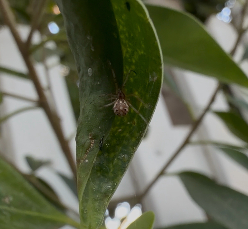
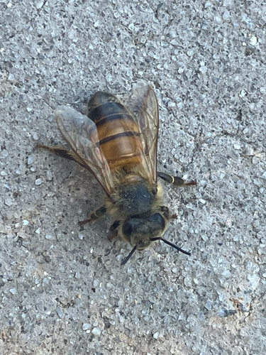
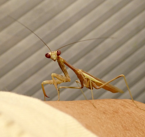
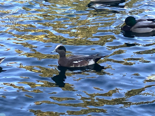
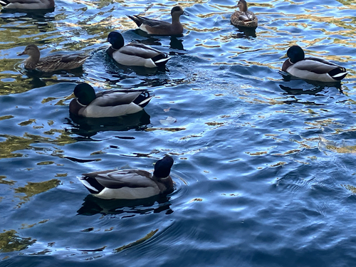
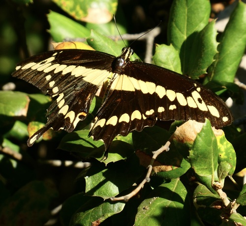
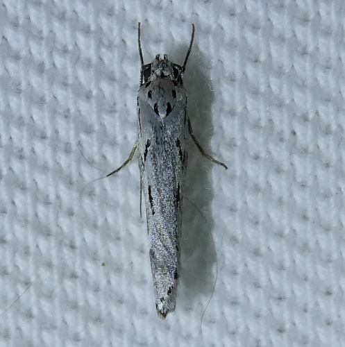
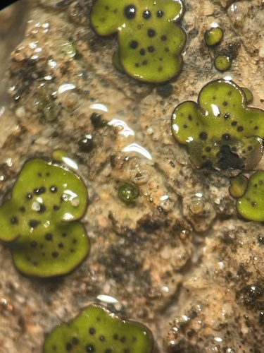
Research-grade observations from iNaturalist (within ~15 mi).
Nearest stream gauge
Live readings from USGS NWIS · measured 2026-10-16 20:15 UTC.
Events
Gallery
Sources
- • Wikipedia
- • US Census Bureau (ACS 5-year estimates)
- • NOAA National Weather Service
- • Wikidata
- • USGS Earthquake Catalog (global feed)
- • USGS NWIS (water data)
- • NCES via Urban Institute Education Data Portal
- • GBIF (Global Biodiversity Information Facility)
- • iNaturalist
- • CDC PLACES
- • Open-Meteo / sunrise-sunset.org
- • Wikipedia Pageviews API
- • Open Library
- • NASA EONET