Browse / Canada / British Columbia / Sparwood
Sparwood
British Columbiatown

Featured view
Sparwood
Total population
4,000
Elevation1140 m
Land area191.6 km²
Coordinates49.73°, -114.89°
Demographic figures from Statistics Canada. Overview below cites Wikipedia and may reference a different year.
Loading additional data from public sources…0 / 11
CensusWikipediaWeatherPlacesPeopleEnvironmentHealth & SchoolsRelatedGeography & CultureLive MonitoringEvents & Gallery
0% completeCity facts
Sister cities
Facts from Wikidata (CC0).
Overview
Sparwood is a district municipality in the Canadian province of British Columbia. It is the second-largest community on the Elk River.
Read more on WikipediaHistory & geography
Geography
Latitude
49.7333
Longitude
-114.8858
Water area
—
Coordinates & boundaries from the US Census TIGER/Line shapefiles.
Climate
Air quality
Walkability
Amenities nearby
Wildlife & biodiversity
Earthquake history
Photos
Sights & places nearby
Notable people from here

Daryl Boyle
Canadian ice hockey player
D
Dan Jackart
Canadian rugby union player
G
Gordon Turlick
Canadian ice hockey player

Jace Coyle
Canadian ice hockey defenceman
M
Mike Klemak
Canadian actor
People born within ~10 km, from Wikidata (CC0). Click any name for their Wikipedia article.
Nearby places in British Columbia
Geography & sun
Nearby airports
Public attention
Books about this place
Recent natural events nearby
- Wildfire Skillet, Lincoln, MontanaWildfires · 2026-07-29 · 86 mi
- Wildfire Parker Lake, Boundary, IdahoWildfires · 2026-08-23 · 98 mi
- Wildfire Deer Creek, Lincoln, MontanaWildfires · 2026-08-20 · 109 mi
- Wildfire Silver, Boundary, IdahoWildfires · 2026-08-23 · 111 mi
- Wildfire Dudley, Shoshone, IdahoWildfires · 2026-08-26 · 159 mi
- Wildfire FAIRVIEW, Spokane, WashingtonWildfires · 2026-08-01 · 177 mi
- Wildfire Camp Creek, Powell, MontanaWildfires · 2026-08-21 · 179 mi
- Wildfire AUTUMN LANE, Spokane, WashingtonWildfires · 2026-08-01 · 183 mi
Wildfires, storms and other events from NASA EONET (last 12 months, within 250 mi).
Ground air-quality sensors
Recently spotted species
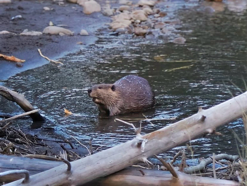
American Beaver
Castor canadensis
Seen 2026-09-24
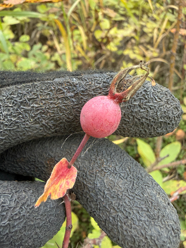
Prickly Wild Rose
Rosa acicularis
Seen 2026-09-22
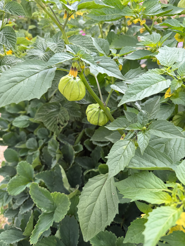
Large-flowered Tomatillo
Physalis philadelphica
Seen 2026-09-08
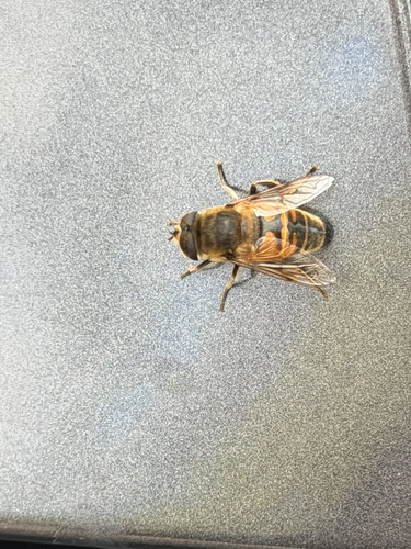
Common Drone Fly
Eristalis tenax
Seen 2026-09-08
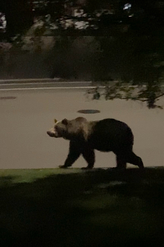
Grizzly Bear
Ursus arctos horribilis
Seen 2026-09-02
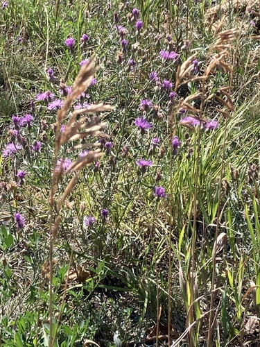
spotted knapweed
Centaurea stoebe
Seen 2026-08-26
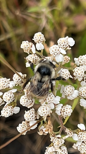
Vancouver Bumble Bee
Bombus vancouverensis
Seen 2026-08-14
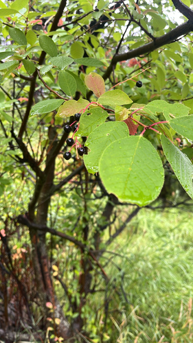
chokecherry
Prunus virginiana
Seen 2026-08-13
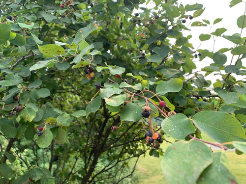
Saskatoon
Amelanchier alnifolia
Seen 2026-08-10
Research-grade observations from iNaturalist (within ~15 mi).
Events
Gallery
Official Identifiers
StatCan — Statistics Canada
- SGC code
- 5901006
- Population (Wikidata)
- 3,784
- Wikidata
- Q7573961
Standard Geographical Classification (SGC) via Wikidata P3012
Sources
- • Wikipedia
- • Wikidata
- • iNaturalist
- • NASA EONET
- • StatCan — Statistics Canada — Standard Geographical Classification (SGC) via Wikidata P3012