Browse / Canada / Manitoba / ᑕᑕᐢᑿᔭᕽ Split Lake
ᑕᑕᐢᑿᔭᕽ Split Lake
Manitobatown

ᑕᑕᐢᑿᔭᕽ Split Lake
Total population
2,107
Demographic figures from Statistics Canada. Overview below cites Wikipedia and may reference a different year.
City facts
Overview
Split Lake, or Tataskwayak, is a community in Manitoba on the northern shore of Split Lake along the Nelson River, about 240 mi (390 km) west southwest of the river's mouth at Hudson Bay, and is within the Tataskweyak Cree Nation reserve, Split Lake 171. The community is located 143 km (89 mi) northeast of Thompson, roughly the halfway point of PR 280 in Northern Manitoba, and 169 km (105 mi) west of Gillam.
Read more on WikipediaHistory & geography
History
In 1908, Tataskweyak Cree Nation (Split Lake Band) representatives signed an adhesion to Treaty 5. Tataskweyak Cree Nation is a dry reserve and well known for being one of the wealthiest First Nations in Northern Manitoba. With an employment rate of 30.3% in 2016, Tataskweyak Cree Nation provides a variety of jobs with preference to band members in Education, Healthcare, Trades, Sales and Services. Tataskweyak Cree Nation provides Policing with their own First Nation Security Officers, Child and Family Services which is currently under transformation for more control over their own laws and practices. Jordan’s Principal also offers services to provide a child-first and needs-based to members on and off reserve. The community of Split Lake has their best efforts coming out of multiple programs providing many benefits for its entire population. As of 2024 there are 4,253 registered band members of Tatasweyak Cree Nation, 2,371 on reserve and 1,746 off reserve. Split Lake has had a high number of youth suicides in the year of 2021.
Geography
Split Lake is on the Hudson Bay Railway line that ends at the Port of Churchill. The community of Split Lake is located on a peninsula on the northern shore of Split Lake. The Burntwood River and the Nelson River flows into the west end of Split Lake. The Grass River (Manitoba) joins the Nelson just before it enters the lake. The Nelson flows east out from the east end of the lake.
Excerpted from the corresponding Wikipedia article (CC BY-SA).
Geography
Coordinates & boundaries from the US Census TIGER/Line shapefiles.
Climate
Air quality
Walkability
Amenities nearby
Wildlife & biodiversity
Earthquake history
Photos
Sights & places nearby
Notable people from here
People born within ~10 km, from Wikidata (CC0). Click any name for their Wikipedia article.
Nearby places in Manitoba
- Ilford (Mooseeocoot)22.7 mi away · pop. 116
- Pikwitonei61.2 mi away
- Moak Lake61.9 mi away
- ᒪᐦᑫᓯᐤ ᓵᑲᐦᐃᑲᐣ Bird74.7 mi away
- Thicket Portage89 mi away · pop. 148
- Nelson House112.6 mi away
- ᒪᓂᑐ ᓰᐱᐩ Manto Sipi Cree Nation (God's River)125.5 mi away · pop. 900
- Cross Lake130 mi away · pop. 4,650
- Gods Lake132.7 mi away
- ᒪᓂᑐ ᓵᑲᐦᐃᑲᐣGod's Lake Narrows133.5 mi away
- Wabowden135 mi away
- Leaf Rapids150.8 mi away · pop. 453
Geography & sun
Elevation, sunrise/sunset and daylight from Open-Meteo. Solar climatology from NASA POWER.
Nearby airports
Public attention
Pageview totals from the Wikimedia Pageviews API.
Books about this place
Recent natural events nearby
Ground air-quality sensors
Recently spotted species
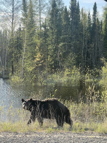
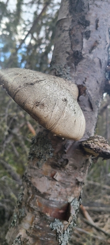
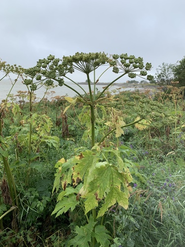
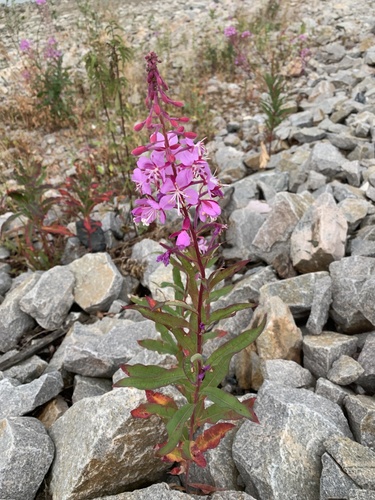
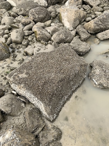
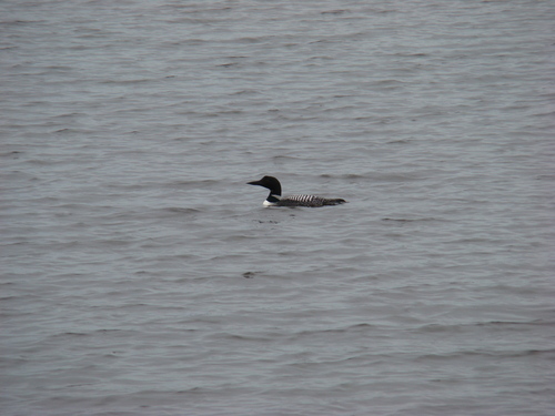
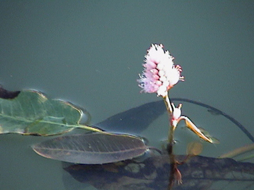
Research-grade observations from iNaturalist (within ~15 mi).
Events
Gallery
Sources
- • Wikipedia
- • Wikidata
- • iNaturalist
- • Open-Meteo / sunrise-sunset.org
- • Wikipedia Pageviews API