Browse / Canada / Ontario / St. Albert
St. Albert
Ontariocity

St. Albert
Total population
68,232
Founded
1861
Demographic figures from Statistics Canada. Overview below cites Wikipedia and may reference a different year.
City facts
Facts from Wikidata (CC0).
Overview
St. Albert is a suburban city in Alberta, Canada, next to the Sturgeon River, northwest of the City of Edmonton, the provincial capital. It was originally settled as a Métis community, and is now the second-largest city in the Edmonton Metropolitan Region. St. Albert first received its town status in 1904 and was reached by the Canadian Northern Railway in 1906. Originally separated from Edmonton by several miles of farmland, the 1980s expansion of Edmonton's city limits placed St. Albert immediately adjacent to the larger city on St. Albert's southern and eastern sides.
History & geography
History
St. Albert was founded in 1861 as a Métis settlement by Father Albert Lacombe, OMI, who built a small chapel, the Father Lacombe Chapel, in the Sturgeon River valley. The chapel still stands to this day on Mission Hill in St. Albert. The original settlement was named Saint Albert by Bishop Alexandre-Antonin Taché, OMI, after Lacombe's name saint, Saint Albert of Louvain. Originally, although Lacombe had intended to found the mission at Lac Ste. Anne, the soil proved infertile, thus he moved the settlement to what would become St. Albert. This location offered several advantages, notably its easy access to supplies of wood and water, in addition to its excellent soil, it being a regular stopping-point for First Nations peoples on their travels, and its proximity to Fort Edmonton, where the priests could purchase necessary supplies and minister to Catholic workers. A few years later, a group of Grey Nuns would follow Lacombe from Lac Ste. Anne. More Métis from Lac Ste. Anne arrived in 1863 and, by December 1864, the population was roughly 300. In 1870, localised outbreaks of smallpox had spread northward into St. Albert, killing 320 of the area's then-900 residents. St. Albert was previously the site of two Indian residential schools as part of the Canadian Residential School System. The St. Albert Indian Residential School ("Youville") was located on Mission Hill within the St. Albert city limits and was operated by the Roman Catholic Church from October 22, 1873, to June 30, 1948, after being relocated from the Lac Ste. Anne Mission, the site of its original founding. The Edmonton Indian Residential School ("Poundmaker") was located approximately 6 km east of St. Albert's current downtown area, and was operated by the Methodist Church from March 1, 1924, to June…
Excerpted from the corresponding Wikipedia article (CC BY-SA).
Geography
Coordinates & boundaries from the US Census TIGER/Line shapefiles.
Climate
Air quality
Walkability
Amenities nearby
Wildlife & biodiversity
Earthquake history
Photos
Sights & places nearby
Notable people from here
Nearby places in Ontario
- Crysler2.9 mi away
- Casselman4.4 mi away · pop. 3,642
- Embrun7.5 mi away · pop. 8,669
- Limoges8.4 mi away
- Avonmore9.5 mi away
- Morewood9.6 mi away
- Newington10.9 mi away
- Maxville13.2 mi away
- Saint-Isidore13.9 mi away · pop. 748
- Lunenburg16.3 mi away · pop. 2,263
- Fournier16.8 mi away
- Metcalfe17.1 mi away · pop. 1,763
Geography & sun
Elevation, sunrise/sunset and daylight from Open-Meteo. Solar climatology from NASA POWER.
Nearby airports
Public attention
Pageview totals from the Wikimedia Pageviews API.
Books about St. Albert


Search results from Open Library.
Recent natural events nearby
Ground air-quality sensors
Recently spotted species
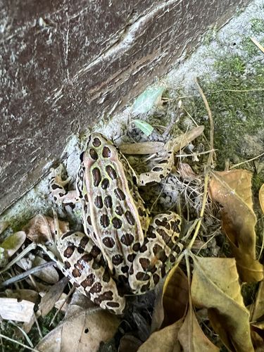
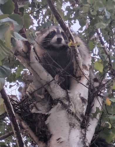

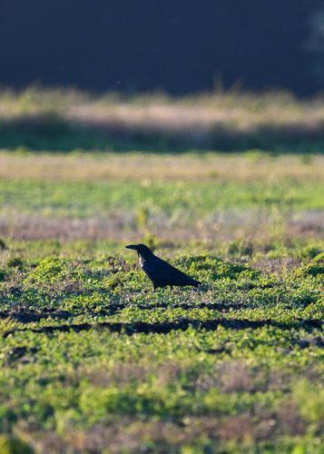
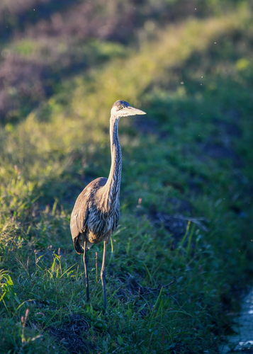
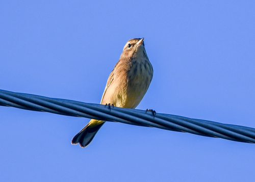
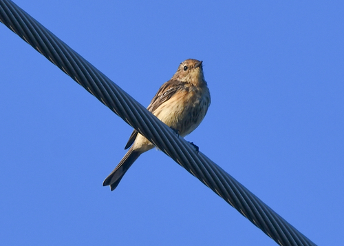
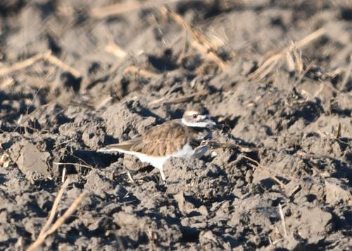
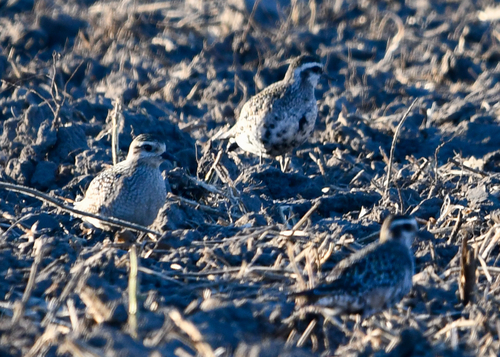
Research-grade observations from iNaturalist (within ~15 mi).
Events
Gallery
Official Identifiers
StatCan — Statistics Canada
- SGC code
- 4811062
- Population (Wikidata)
- 65,589
- Wikidata
- Q939127
Standard Geographical Classification (SGC) via Wikidata P3012
Sources
- • Wikipedia
- • Wikidata
- • iNaturalist
- • Open-Meteo / sunrise-sunset.org
- • Wikipedia Pageviews API
- • Open Library
- • StatCan — Statistics Canada — Standard Geographical Classification (SGC) via Wikidata P3012