Browse / Canada / Alberta / St. Isidore
St. Isidore
Albertahamlet

St. Isidore
Total population
236
Demographic figures from Statistics Canada. Overview below cites Wikipedia and may reference a different year.
City facts
Facts from Wikidata (CC0).
Overview
St. Isidore is a hamlet in northwest Alberta, Canada within Northern Sunrise County. It is located approximately 16 kilometres (9.9 mi) east of the Town of Peace River on Range Road 204 off Highway 688. St. Isidore is flanked by deep ravines cut by Pat's Creek to the north and Pat's Creek tributary to the south. The ravines are surrounded by pine forests.
Read more on WikipediaHistory & geography
History
The Hamlet of St. Isidore is named after St. Isidore, a patron saint of farm workers who was known to be a model worker. It was founded in 1953 by seven families from the Saguenay-Lac-Saint-Jean region of Quebec. The group was aided by the Union des Cultivateurs Catholiques (Group of Catholic Farmers) of Saguenay-Lac-Saint-Jean Quebec, a rural agricultural organization that promoted a cooperative approach to agriculture and rural living. Being the last community to be settled in a wave of migration from Quebec after the Second World War, it has managed to maintain much of its original cultural vibrancy. Over half a century later, the community still reflects the cultural, cooperative, and family spirit at the heart of this community.
Excerpted from the corresponding Wikipedia article (CC BY-SA).
Geography
Coordinates & boundaries from the US Census TIGER/Line shapefiles.
Climate
Air quality
Walkability
Amenities nearby
Wildlife & biodiversity
Most-observed species
- Common RavenCorvus corax Linnaeus, 1758 · Aves82
- Black-capped ChickadeePoecile atricapillus (Linnaeus, 1766) · Aves80
- Black-billed MagpiePica hudsonia (Sabine, 1823) · Aves64
- American CrowCorvus brachyrhynchos C.L.Brehm, 1822 · Aves59
- American RobinTurdus migratorius Linnaeus, 1766 · Aves58
- Blue JayCyanocitta cristata (Linnaeus, 1758) · Aves55
- House SparrowPasser domesticus (Linnaeus, 1758) · Aves52
- White-throated SparrowZonotrichia albicollis (J.F.Gmelin, 1789) · Aves45
Citizen-science & research observations from the Global Biodiversity Information Facility (GBIF).
Earthquake history
Most recent
- M 4.2 — 2023-03-16Alberta, Canada
- M 4.7 — 2023-03-1644 km ESE of Peace River, Canada
- M 4.6 — 2023-03-16Alberta, Canada
- M 4.3 — 2022-11-30Alberta, Canada
- M 3.9 — 2022-11-3042 km ESE of Peace River, Canada
- M 4.3 — 2022-11-3042 km ESE of Peace River, Canada
Events from the USGS Earthquake Catalog (global) (FDSN Event Web Service).
Photos
Sights & places nearby
Notable people from here
Nearby places in Alberta
- Normandville25.5 mi away
- Lac Cardinal27.7 mi away
- Girouxville32.4 mi away
- Falher32.7 mi away
- Birch Meadows Hutterite Colony39.2 mi away
- Eaglesham41.9 mi away
- Guy45.4 mi away
- Codesa Hutterite Colony50.9 mi away
- Homeland Hutterite Colony52.7 mi away
- Twilight Hutterite Colony53 mi away
- Shady Lane Hutterite Colony55.1 mi away
- Hines Creek Hutterite Colony62.2 mi away
Geography & sun
Elevation, sunrise/sunset and daylight from Open-Meteo. Solar climatology from NASA POWER.
Nearby airports
Public attention
Pageview totals from the Wikimedia Pageviews API.
Books about this place
Recent natural events nearby
Ground air-quality sensors
Recently spotted species
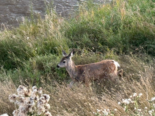
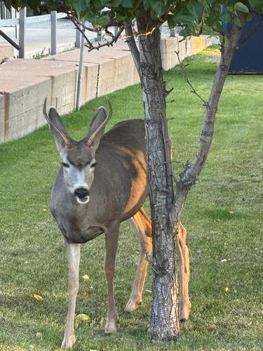
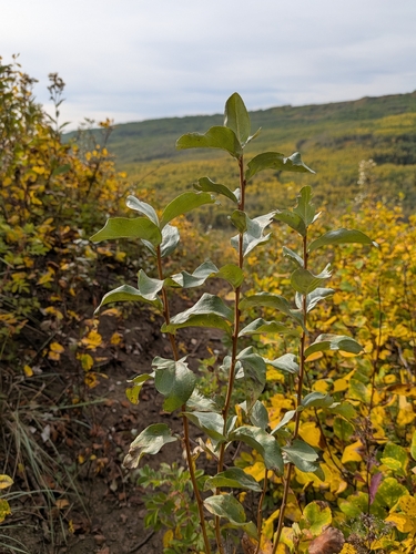
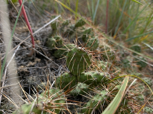
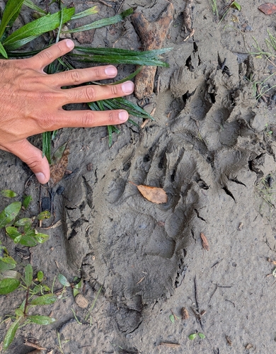
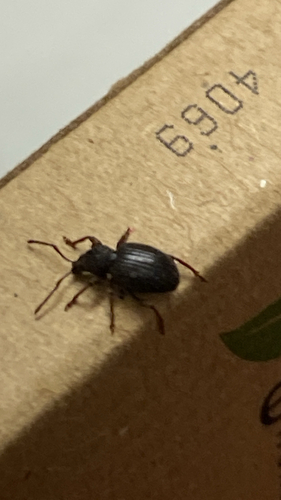
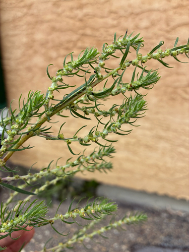
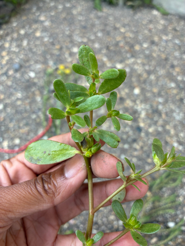
Research-grade observations from iNaturalist (within ~15 mi).
Events
Gallery
Sources
- • Wikipedia
- • Wikidata
- • USGS Earthquake Catalog (global feed)
- • GBIF (Global Biodiversity Information Facility)
- • iNaturalist
- • Open-Meteo / sunrise-sunset.org
- • Wikipedia Pageviews API