Browse / United States / California / Temecula
Temecula
Californiacity

Temecula
Total population
112,438
Median home value
$737,700
Bachelor's+
Median income
$120,768
Demographic figures from US Census Bureau · ACS 5-year estimates. Overview below cites Wikipedia and may reference a different year.
City facts
Overview
Temecula is a city in southwestern Riverside County, California, United States. The city had a population of 110,003 as of the 2020 census and was incorporated on December 1, 1989. The city is a tourist and resort destination, with the Temecula Valley Wine Country, Old Town Temecula, Pechanga Resort Casino, championship golf courses, and resort accommodations contributing to the city's economic profile.
Read more on WikipediaHistory & geography
History
The area was inhabited by the Temecula Indians for hundreds of years before their contact with the Spanish missionaries (the people are now generally known as the Luiseños, after the nearby Mission San Luis Rey de Francia). Seven bands of Luiseño Indians inhabited the Temecula valley pre-contact: the Pechanga, La Jolla, Soboba, Pala, Rincon, Pauma, and San Luis Rey bands (presently, all of the bands except the San Luis Rey are federally recognized tribes). The Pechanga Band of Luiseño believe their ancestors have lived in the Temecula area for more than 10,000 years, though ethnologists think they arrived at a more recent date. In Pechanga history, life on Earth began in the Temecula Valley. They call it "'Éxva Temeéku", the place of the union of Sky-father, and Earth-mother ("Tuukumit'pi Tamaayowit"). The Temecula Indians ("Temeekuyam") lived at "Temeekunga", or "the place of the sun". Other popular interpretations of the name include "The sun that shines through the mist" or "Where the sun breaks through the mist". The first recorded Spanish visit occurred in October 1797, with a Franciscan padre, Father Juan Norberto de Santiago, and Captain Pedro Lisalde. Father Santiago kept a journal in which he noted seeing "Temecula ... an Indian village". The trip included the Lake Elsinore area and the Temecula Valley. Little is known about the early 1800s because Temecula records were destroyed in the fire that followed the 1906 San Francisco earthquake. In 1798, Spanish missionaries established the Mission of San Luis Rey de Francia and designated the Indians living in the region as "Sanluiseños", shortened to "Luiseños". In the 1820s, the nearby Mission San Antonio de Pala was built. In mid-1839, Pío Pico petitioned the governor of Mexican California to give him the…
Geography
According to the United States Census Bureau, the city has a total area of , of which is land and , or 0.03%, is water. South of the city, Murrieta Creek and Temecula Creek join to form the Santa Margarita River. The city is located near the border between the counties of Riverside and San Diego, and is also around from Los Angeles, making it a popular tourist destination for San Diegans and Angelinos. Temecula has a hot semi-arid climate (Köppen: BSh). August is typically the hottest month of the year with December being the coldest month. Most precipitation occurs from November to March with February being the wettest month. Winter storms generally bring moderate precipitation, but strong winter storms are not uncommon, especially during "El Niño" years. The driest month is June. Annual precipitation is . Morning marine layer is common during May and June. From July to September, Temecula experiences hot, dry weather with the occasional North American monsoonal flow that increases the humidity and brings isolated thunderstorms. Most of the storms tend to be short-lived with little rainfall. During late fall into winter, Temecula experiences strong, dry northeastern Santa Ana winds. Snowfall is rare, but Temecula has experienced traces of snowfall on occasion, some as recently as December 2014. A rare F1 tornado touched down in a Temecula neighborhood on February 19, 2005.
Excerpted from the corresponding Wikipedia article (CC BY-SA).
Demographics & economy
Race & ethnicity
Source: US Census Bureau — American Community Survey, 5-year estimates.
Geography
Coordinates & boundaries from the US Census TIGER/Line shapefiles.
Climate
Air quality
Industrial & pollution facilities
Natural hazard risk
Health (adults)
Age-adjusted prevalence estimates from CDC PLACES (latest release).
Walkability
Amenities nearby
Wildlife & biodiversity
Most-observed species
- House FinchHaemorhous mexicanus (P.L.Statius Müller, 1776) · Aves8,945
- American CrowCorvus brachyrhynchos C.L.Brehm, 1822 · Aves7,903
- California TowheeMelozone crissalis (Vigors, 1839) · Aves6,377
- Anna's HummingbirdCalypte anna (R.Lesson, 1829) · Aves6,323
- Mourning DoveZenaida macroura (Linnaeus, 1758) · Aves6,316
- Lesser GoldfinchSpinus psaltria (Say, 1822) · Aves6,207
- Black PhoebeSayornis nigricans (Swainson, 1827) · Aves5,792
- California/Woodhouse's Scrub-JayAphelocoma californica (Vigors, 1839) · Aves4,904
Citizen-science & research observations from the Global Biodiversity Information Facility (GBIF).
Schools
Largest nearby schools
- River Springs CharterOther · Temecula · 6,886 students · 26.4:1 ratio
- Vista Murrieta HighHigh · Murrieta · 3,493 students · 24.6:1 ratio
- Great Oak HighHigh · Temecula · 3,043 students · 25.4:1 ratio
- Chaparral HighHigh · Temecula · 3,030 students · 25.7:1 ratio
- Temecula Valley HighHigh · Temecula · 2,864 students · 25.1:1 ratio
- Murrieta Valley HighHigh · Murrieta · 2,230 students · 23.5:1 ratio
- Murrieta Mesa HighHigh · Murrieta · 2,178 students · 22.9:1 ratio
- Thompson MiddleMiddle · Murrieta · 1,557 students · 27.3:1 ratio
Public K–12 schools within ~10 mi from Urban Institute Education Data Portal (NCES Common Core of Data, 2022).
Earthquake history
Most recent
- M 3.31 — 2026-09-1226 km ESE of Avalon, CA
- M 2.95 — 2026-09-1226 km ESE of Avalon, CA
- M 2.54 — 2026-09-1226 km ESE of Avalon, CA
- M 3.2 — 2026-09-026 km SE of Ontario, CA
- M 2.91 — 2026-08-3122 km SSW of La Quinta, CA
- M 3.64 — 2026-08-1914 km N of Warner Springs, CA
Events from the USGS Earthquake Catalog (global) (FDSN Event Web Service).
Photos
Sights & places nearby
Notable people from here
Nearby places in California
- Rainbow5.8 mi away
- Fallbrook9.7 mi away · pop. 32,112
- Pala9.7 mi away
- East Hemet19.7 mi away
- Nuevo21.3 mi away
- Rancho Mission Viejo24.8 mi away
- Harmony Grove27.1 mi away · pop. 2,585
- Coto de Caza27.2 mi away
- Mountain Center27.9 mi away
- Idyllwild-Pine Cove28.9 mi away
- Las Flores29 mi away · pop. 5,513
- Modjeska32.3 mi away · pop. 714
Geography & sun
Elevation, sunrise/sunset and daylight from Open-Meteo. Solar climatology from NASA POWER.
Nearby airports
Public attention
Pageview totals from the Wikimedia Pageviews API.
Books about Temecula
Search results from Open Library.
Recent natural events nearby
- Wildfire RIDGE, Los Angeles, CaliforniaWildfires · 2026-08-07 · 132 mi
- Wildfire BUZZARD, Kern, CaliforniaWildfires · 2026-08-05 · 141 mi
- Wildfire PLAINS, San Luis Obispo, CaliforniaWildfires · 2026-08-12 · 211 mi
- Prescribed Fire CRAWFORD CORRAL RX, Tulare, CaliforniaWildfires · 2026-09-19 · 239 mi
- Wildfire Campwood, Yavapai, ArizonaWildfires · 2026-08-23 · 244 mi
Wildfires, storms and other events from NASA EONET (last 12 months, within 250 mi).
Ground air-quality sensors
Recently spotted species
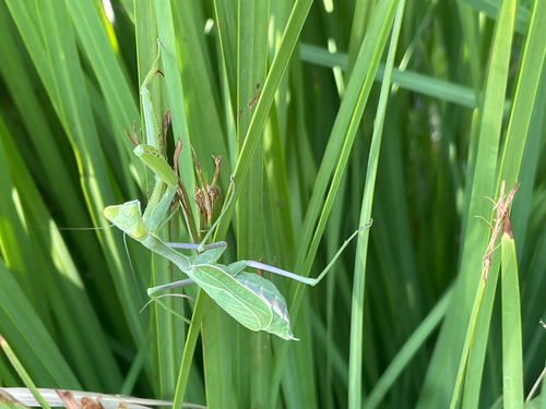
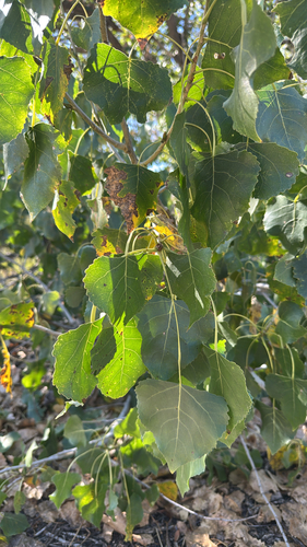
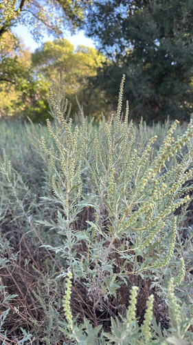
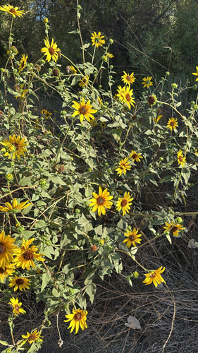
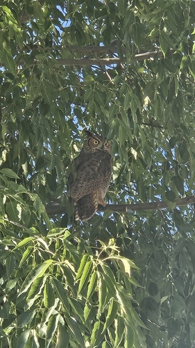
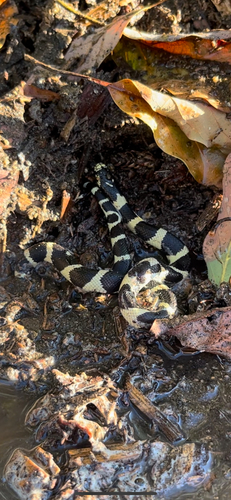
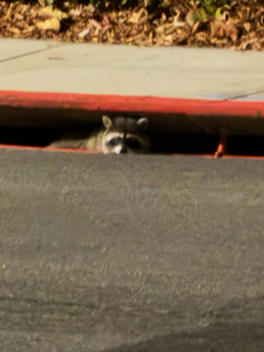
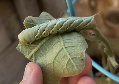
Research-grade observations from iNaturalist (within ~15 mi).
Nearest stream gauge
Events
Gallery
Sources
- • Wikipedia
- • US Census Bureau (ACS 5-year estimates)
- • USGS Earthquake Catalog (global feed)
- • NCES via Urban Institute Education Data Portal
- • GBIF (Global Biodiversity Information Facility)
- • iNaturalist
- • CDC PLACES
- • Open-Meteo / sunrise-sunset.org
- • Wikipedia Pageviews API
- • Open Library
- • NASA EONET