Browse / United States / California / Pala
Pala
CaliforniaCDP

Pala
Total population
914
Median home value
$305,600
Bachelor's+
Median income
$106,250
Air quality index
Demographic figures from US Census Bureau · ACS 5-year estimates. Overview below cites Wikipedia and may reference a different year.
- Tropical Cyclone Local Statement · ModerateTropical Cyclone Local Statement issued October 9 at 2:08PM PDT by NWS San Diego CA
- Tropical Storm Watch · SevereTropical Storm Watch issued October 9 at 1:57PM PDT by NWS San Diego CA
- Flood Watch · SevereFlood Watch issued October 9 at 12:16PM PDT until October 11 at 8:00PM PDT by NWS San Diego CA
- Tropical Cyclone Local Statement · ModerateTropical Cyclone Local Statement issued October 9 at 8:22AM PDT by NWS San Diego CA
Source: NOAA National Weather Service.
City facts
Facts from Wikidata (CC0).
Overview
Pala is a small, mostly Native American community and census-designated place located within the Pala Indian Reservation in San Diego County, California. As of the 2020 census, Pala had a population of 1,490. For centuries it was a traditional gathering place of Native peoples. The Mission San Antonio de Pala or Pala Mission was established in Pala by early 19th century as an asistencia or sub-mission.
Read more on WikipediaHistory & geography
Demographics & economy
Race & ethnicity
Source: US Census Bureau — American Community Survey, 5-year estimates.
Geography
Coordinates & boundaries from the US Census TIGER/Line shapefiles.
Climate
Current forecast
Forecast for Pala, CA from NOAA NWS API.
Air quality
Current readings from Open-Meteo Air Quality API (Copernicus CAMS European reanalysis).
Industrial & pollution facilities
Natural hazard risk
Health (adults)
Age-adjusted prevalence estimates from CDC PLACES (latest release).
Walkability
Amenities nearby
Wildlife & biodiversity
Most-observed species
- House FinchHaemorhous mexicanus (P.L.Statius Müller, 1776) · Aves10,441
- American CrowCorvus brachyrhynchos C.L.Brehm, 1822 · Aves9,932
- California TowheeMelozone crissalis (Vigors, 1839) · Aves9,535
- California/Woodhouse's Scrub-JayAphelocoma californica (Vigors, 1839) · Aves9,328
- Anna's HummingbirdCalypte anna (R.Lesson, 1829) · Aves8,729
- Mourning DoveZenaida macroura (Linnaeus, 1758) · Aves7,913
- Lesser GoldfinchSpinus psaltria (Say, 1822) · Aves7,532
- Black PhoebeSayornis nigricans (Swainson, 1827) · Aves7,376
Citizen-science & research observations from the Global Biodiversity Information Facility (GBIF).
Schools
Largest nearby schools
- Valley Center HighHigh · Valley Center · 1,181 students · 23.2:1 ratio
- James E. Potter IntermediateMiddle · Fallbrook · 729 students · 18.7:1 ratio
- Live Oak ElementaryElementary · Fallbrook · 644 students · 20.8:1 ratio
- William H. Frazier ElementaryElementary · Fallbrook · 551 students · 21.2:1 ratio
- Valley Center PrimaryElementary · Valley Center · 526 students · 21.9:1 ratio
- La Paloma ElementaryElementary · Fallbrook · 493 students · 20.5:1 ratio
- Norman L. Sullivan MiddleMiddle · Bonsall · 470 students · 20.4:1 ratio
- LilacElementary · Valley Center · 454 students · 21.6:1 ratio
Public K–12 schools within ~10 mi from Urban Institute Education Data Portal (NCES Common Core of Data, 2022).
Earthquake history
Most recent
- M 2.7 — 2026-10-082 km WNW of Fontana, CA
- M 2.51 — 2026-10-0531 km SW of Dana Point, CA
- M 2.81 — 2026-10-0532 km SW of Dana Point, CA
- M 3.48 — 2026-10-0531 km SW of Dana Point, CA
- M 3.08 — 2026-10-0120 km ESE of Anza, CA
- M 2.63 — 2026-09-239 km WNW of Anza, CA
Events from the USGS Earthquake Catalog (global) (FDSN Event Web Service).
Photos
Sights & places nearby
Notable people from here
Nearby places in California
- Rainbow5.2 mi away · pop. 2,029
- Fallbrook8.8 mi away · pop. 32,112
- Harmony Grove18.6 mi away · pop. 2,585
- Rancho Santa Fe24.5 mi away · pop. 2,260
- Poway26.1 mi away · pop. 48,713
- Del Mar29.8 mi away · pop. 3,903
- Las Flores35.5 mi away · pop. 5,513
- Dana Point36.9 mi away · pop. 32,790
- Bostonia38.3 mi away · pop. 16,765
- Modjeska40.2 mi away · pop. 714
- Cabazon41.3 mi away · pop. 1,887
- Banning41.4 mi away · pop. 31,093
Geography & sun
Elevation, sunrise/sunset and daylight from Open-Meteo. Solar climatology from NASA POWER.
Nearby airports
Public attention
Pageview totals from the Wikimedia Pageviews API.
Books about Pala


Search results from Open Library.
Recent natural events nearby
- Wildfire BOUQUET, Los Angeles, CaliforniaWildfires · 2026-10-03 · 113 mi
- Wildfire RIDGE, Los Angeles, CaliforniaWildfires · 2026-08-07 · 141 mi
- Wildfire BUZZARD, Kern, CaliforniaWildfires · 2026-08-05 · 150 mi
- Wildfire PLAINS, San Luis Obispo, CaliforniaWildfires · 2026-08-12 · 219 mi
- Wildfire Campwood, Yavapai, ArizonaWildfires · 2026-08-23 · 243 mi
- Prescribed Fire CRAWFORD CORRAL RX, Tulare, CaliforniaWildfires · 2026-09-19 · 248 mi
Wildfires, storms and other events from NASA EONET (last 12 months, within 250 mi).
Ground air-quality sensors
Recently spotted species
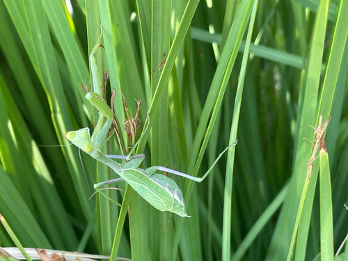
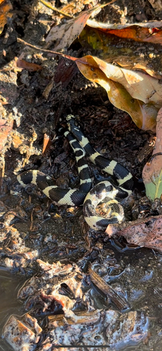
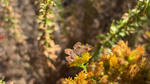
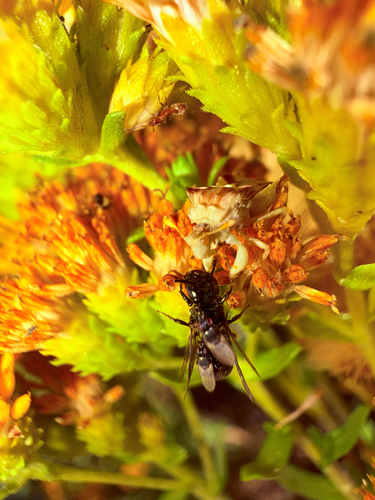
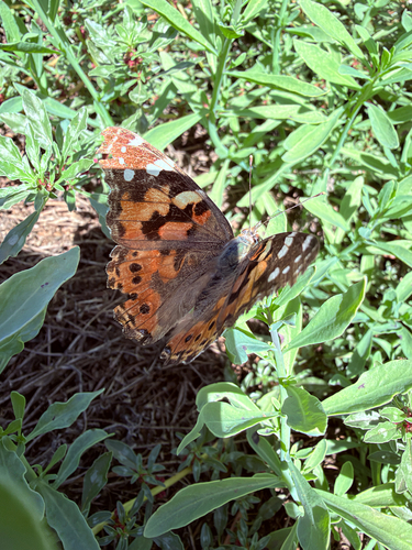
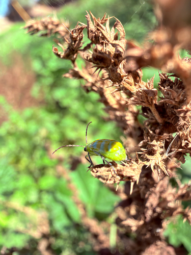
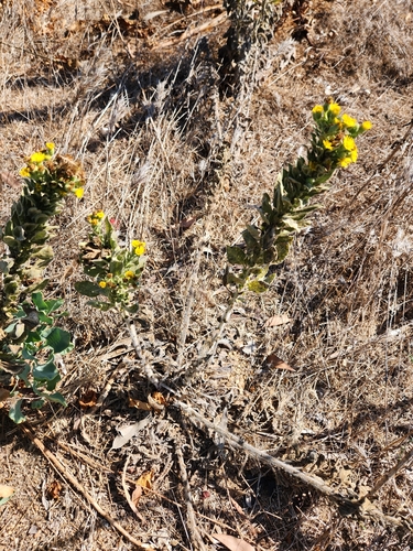
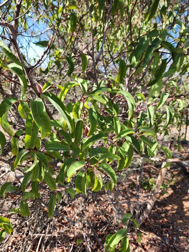
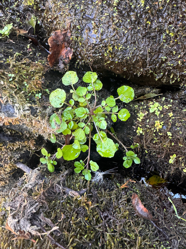
Research-grade observations from iNaturalist (within ~15 mi).
Nearest stream gauge
Live readings from USGS NWIS · measured 2026-10-09 15:00 UTC.
Events
Gallery
Sources
- • Wikipedia
- • US Census Bureau (ACS 5-year estimates)
- • NOAA National Weather Service
- • Wikidata
- • Open-Meteo Air Quality (CAMS)
- • USGS Earthquake Catalog (global feed)
- • USGS NWIS (water data)
- • NCES via Urban Institute Education Data Portal
- • GBIF (Global Biodiversity Information Facility)
- • iNaturalist
- • CDC PLACES
- • Open-Meteo / sunrise-sunset.org
- • Wikipedia Pageviews API
- • Open Library
- • NASA EONET