Browse / United States / California / Del Mar
Del Mar
Californiacity

Del Mar
Total population
3,903
Median home value
$2,000,001
Bachelor's+
Median income
$199,152
Demographic figures from US Census Bureau · ACS 5-year estimates. Overview below cites Wikipedia and may reference a different year.
- Beach Hazards Statement · ModerateBeach Hazards Statement issued October 5 at 1:33PM PDT until October 9 at 11:00PM PDT by NWS San Diego CA
- Coastal Flood Advisory · MinorCoastal Flood Advisory issued October 5 at 1:33PM PDT until October 9 at 11:00AM PDT by NWS San Diego CA
- Extreme Heat Warning · SevereExtreme Heat Warning issued October 5 at 11:29AM PDT until October 8 at 8:00PM PDT by NWS San Diego CA
Source: NOAA National Weather Service.
City facts
Facts from Wikidata (CC0).
Overview
Del Mar is a beach city in San Diego County, California, United States, located on the coast of the Pacific Ocean. It was established in 1885 to build a seaside resort. The annual San Diego County Fair has had a permanent home at the Del Mar Fairgrounds since 1936. Horse racing began at the fairgrounds racetrack the following year and is hosted every summer. The city incorporated in 1959 aiming to preserve its small town feel. Its population was 3,954 as of the 2020 census, down from 4,161 at the 2010 census.
Read more on WikipediaHistory & geography
History
In 1880, the California Southern Railroad was formed to connect San Diego to the national rail network and Del Mar was along the planned route. It was first settled in 1882 by Theodore M. Loop, a railroad official from New York, and his wife Ella. Loop thought the area was "the most attractive place on the entire coast". Ella gave the site its name, inspired by Bayard Taylor's poem "The Fight of Paso del Mar". Instead of moving on when the railroad was completed, Loop decided he wanted to stay. In 1885, Loop met Colonel Jacob Taylor and proposed building a town together. Taylor was a prosperous rancher that had come to the region with his family. He had bought Rancho Santa Maria de Los Peñasquitos and intended to stay there. On seeing the beauty and development potential of the Del Mar area, he changed his plans. He purchased of land from Enoch Talbert, with visions of building a seaside resort for the rich and famous. He installed the first telephone line between Del Mar and Peñasquitos so he could manage his ranch while living on the coast and developing his resort. By 1888, there was a village of about 25 homes with what is now 10th Street as its main corridor. The city built the first dedicated school for the surrounding sparsely populated area, ending the practice of students being taught in barns. The town's development suffered a major setback when Taylor's hotel "Casa del Mar" burned to the ground due to a kitchen fire the following year. Flooding in Southern California had damaged roads, bridges, and railroad tracks causing widespread devastation and leaving Del Mar isolated. San Diego's population fell in half from its 1887 peak by 1890. Despite Taylor's initial pledge to rebuild, he was not only unable to complete the project, he lost his ranch…
Geography
Del Mar is one of only two locations where the Torrey pine tree naturally occurs. The Torrey pine is the rarest pine in the United States; only two populations of this endangered species exist, in Del Mar and on Santa Rosa Island. The Soledad Valley at the south of Del Mar severs two colony segments. At the southern edge of Del Mar is the Los Peñasquitos Lagoon. To the north is the San Dieguito Lagoon and the San Dieguito River, which empties into the Pacific Ocean at Del Mar. The bluffs along Del Mar's south beach are subject to collapse. Properties on the bluffs are subject to the impacts of climate change, such as sea level rise and coastal erosion. The transportation infrastructure is under threat. The city has a climate change adaptation plan which excludes the option of a managed retreat, the strategy that was recommended by the California Coastal Commission in 2019. According to the United States Census Bureau, the city has a total area of , of which of it is land and of it (3.08%) is water. Del Mar's climate is considered mediterranean-subtropical with warm, dry summers and mild, humid winters. Temperatures exceed only on a few occasions throughout the year and rarely drop below . The average yearly temperature in Del Mar is approximately . Del Mar regularly receives heavy marine layer clouds due to its position between two lagoons and bordered to the west by the Pacific Ocean.
Excerpted from the corresponding Wikipedia article (CC BY-SA).
Demographics & economy
Race & ethnicity
Source: US Census Bureau — American Community Survey, 5-year estimates.
Geography
Coordinates & boundaries from the US Census TIGER/Line shapefiles.
Climate
Current forecast
Forecast for Del Mar, CA from NOAA NWS API.
Air quality
Industrial & pollution facilities
Natural hazard risk
Health (adults)
Age-adjusted prevalence estimates from CDC PLACES (latest release).
Walkability
Amenities nearby
Wildlife & biodiversity
Most-observed species
- House FinchHaemorhous mexicanus (P.L.Statius Müller, 1776) · Aves54,142
- Song SparrowMelospiza melodia (A.Wilson, 1810) · Aves50,556
- Anna's HummingbirdCalypte anna (R.Lesson, 1829) · Aves47,170
- American CrowCorvus brachyrhynchos C.L.Brehm, 1822 · Aves46,047
- Black PhoebeSayornis nigricans (Swainson, 1827) · Aves44,509
- California TowheeMelozone crissalis (Vigors, 1839) · Aves42,310
- Mourning DoveZenaida macroura (Linnaeus, 1758) · Aves39,965
- Lesser GoldfinchSpinus psaltria (Say, 1822) · Aves38,127
Citizen-science & research observations from the Global Biodiversity Information Facility (GBIF).
Schools
Largest nearby schools
- Torrey Pines HighHigh · San Diego · 2,614 students · 25.6:1 ratio
- Del Norte HighHigh · San Diego · 2,531 students · 26.6:1 ratio
- Canyon Crest AcademyHigh · San Diego · 2,336 students · 27.5:1 ratio
- Westview HighHigh · San Diego · 2,257 students · 25.1:1 ratio
- Mira Mesa HighHigh · San Diego · 2,219 students · 25.2:1 ratio
- San Dieguito HS AcademyHigh · Encinitas · 2,089 students · 25.5:1 ratio
- Scripps Ranch HighHigh · San Diego · 1,984 students · 28.3:1 ratio
- Mt. Carmel HighHigh · San Diego · 1,865 students · 23.3:1 ratio
Public K–12 schools within ~10 mi from Urban Institute Education Data Portal (NCES Common Core of Data, 2022).
Earthquake history
Most recent
- M 3.08 — 2026-10-0120 km ESE of Anza, CA
- M 2.63 — 2026-09-239 km WNW of Anza, CA
- M 3.31 — 2026-09-1226 km ESE of Avalon, CA
- M 2.95 — 2026-09-1226 km ESE of Avalon, CA
- M 2.54 — 2026-09-1226 km ESE of Avalon, CA
- M 2.91 — 2026-08-3122 km SSW of La Quinta, CA
Events from the USGS Earthquake Catalog (global) (FDSN Event Web Service).
Photos
Sights & places nearby
Notable people from here


People born within ~10 km, from Wikidata (CC0). Click any name for their Wikipedia article.
Nearby places in California
- Rancho Santa Fe5.6 mi away
- Harmony Grove11.8 mi away · pop. 2,585
- Poway13.9 mi away · pop. 48,713
- Bostonia21 mi away · pop. 16,765
- Bonita24.9 mi away · pop. 12,652
- Jamul28.2 mi away · pop. 6,574
- Fallbrook28.4 mi away · pop. 32,112
- Rainbow31.6 mi away · pop. 2,029
- Descanso37.2 mi away · pop. 1,590
- Dana Point43.3 mi away · pop. 32,790
- Potrero45 mi away · pop. 417
- Las Flores47.7 mi away · pop. 5,513
Geography & sun
Elevation, sunrise/sunset and daylight from Open-Meteo. Solar climatology from NASA POWER.
Nearby airports
Public attention
Pageview totals from the Wikimedia Pageviews API.
Books about Del Mar



Search results from Open Library.
Recent natural events nearby
- Wildfire RIDGE, Los Angeles, CaliforniaWildfires · 2026-08-07 · 155 mi
- Wildfire BUZZARD, Kern, CaliforniaWildfires · 2026-08-05 · 164 mi
- Wildfire PLAINS, San Luis Obispo, CaliforniaWildfires · 2026-08-12 · 231 mi
Wildfires, storms and other events from NASA EONET (last 12 months, within 250 mi).
Ground air-quality sensors
Recently spotted species




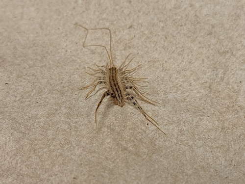
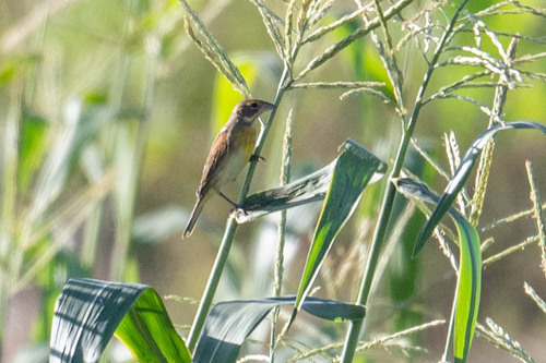

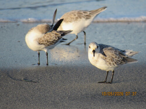
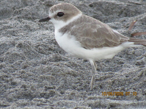
Research-grade observations from iNaturalist (within ~15 mi).
Nearest stream gauge
Events
Gallery
Sources
- • Wikipedia
- • US Census Bureau (ACS 5-year estimates)
- • NOAA National Weather Service
- • Wikidata
- • USGS Earthquake Catalog (global feed)
- • NCES via Urban Institute Education Data Portal
- • GBIF (Global Biodiversity Information Facility)
- • iNaturalist
- • CDC PLACES
- • Open-Meteo / sunrise-sunset.org
- • Wikipedia Pageviews API
- • Open Library
- • NASA EONET