Browse / United States / California / Bonita
Bonita
CaliforniaCDP
Total population
12,652
Median home value
$962,800
Bachelor's+
Median income
$118,674
Demographic figures from US Census Bureau · ACS 5-year estimates. Overview below cites Wikipedia and may reference a different year.
- Extreme Heat Warning · SevereExtreme Heat Warning issued October 1 at 1:12PM PDT until October 8 at 8:00PM PDT by NWS San Diego CA
Source: NOAA National Weather Service.
City facts
Facts from Wikidata (CC0).
Overview
Bonita is a census-designated place (CDP) in southern San Diego County, California, nestled between the cities of Chula Vista, National City, and San Diego. The population was 12,917 at the 2020 census, up from 12,538 at the 2010 census.
Read more on WikipediaHistory & geography
History
Before the arrival of the Spanish, Kumeyaay lived in the area around Sweetwater Valley, and called it Apusquel. After the establishment of Mission San Diego de Alcalá, the valley was used for cattle raising but was not significantly settled. The ranch itself was used to cultivate lemons, which were first grown in the area beginning in 1871. During the early years lemon industry was thriving, where it became the originator of the Bonnie Brae Lemon variety, named after the first lemon ranch in the community. In 1888, Sweetwater Dam was built, creating Sweetwater Reservoir and forever changing the geography of the region. Soon after, in 1906, the dam broke as a result of extensive rains which overfilled the reservoir, and the Lower Sweetwater Valley was completely flooded. Bonita has experienced minor flooding throughout history, generally as a result of high seasonal rains attributed to El Niño. The floods most affect the Central Avenue river crossing, as no bridge has ever been built, unlike the Bonita Road and Willow Road crossings which are bridges, the former of which was rebuilt in the late 1990s. In the 1990s and 2000s, the development of State Route 125 (The South Bay Expressway) became a major issue to Bonita residents, much as Interstate 805 and State Route 54 did during their development. Opponents argued that Bonita's rural nature would be compromised without benefit while proponents argued that the highway would reduce the significant increase in surface-street car traffic the community had seen since the 1980s when the eastern Chula Vista communities surrounding Eastlake were developed. The tollway opened in November 2007 and sought Chapter 11 bankruptcy on March 22, 2010, when the cost of litigation over the construction of the road threatened to…
Geography
Bonita is located at . According to the United States Census Bureau, Bonita has a total area of . of it is land and of it (2.71%) is water. While Bonita is politically designated as an unincorporated community, bounded by the incorporated cities of Chula Vista, San Diego and National City, it is closely associated with the geography of the Lower Sweetwater Valley. Thus considered, Bonita occupies about a five-mile (8 kilometer) stretch of the Sweetwater River, its valley, and surrounding hills on either side, bounded upstream (east) by Sweetwater Reservoir, and downstream (west) effectively by Interstate 805. The community crosses west of I-805—an area less than —reaching as far south and west as East H Street and Hilltop Drive. Its northern boundary is State Route 54 and its southern extent reaches approximately one-mile (1.6 km) south of the river. Large portions of modern Bonita consist of housing tracts built throughout the 1960s, 1970s, and 1980s, including: * Bonita Verde Estates * Bonita Downs * Bonita Fairways * Bonita Glen * Bonita Highlands * Bonita Long Canyon * Bonita Woods * Bonita Woods Park * Emerald Ranch * Lynwood Hills * Ames Ranch * Villas de Bonita * Rancho Robinhood The Bonita area is populated by coyote, racoon, fox, rabbit, squirrel, bobcat, opossum, and skunk, among other wildlife.
Excerpted from the corresponding Wikipedia article (CC BY-SA).
Demographics & economy
Race & ethnicity
Source: US Census Bureau — American Community Survey, 5-year estimates.
Geography
Coordinates & boundaries from the US Census TIGER/Line shapefiles.
Climate
Current forecast
Forecast for Bonita, CA from NOAA NWS API.
Air quality
Industrial & pollution facilities
Natural hazard risk
Health (adults)
Age-adjusted prevalence estimates from CDC PLACES (latest release).
Walkability
Amenities nearby
Wildlife & biodiversity
Schools
Largest nearby schools
- Eastlake HighHigh · Chula Vista · 2,783 students · 25.3:1 ratio
- Sweetwater HighHigh · National City · 2,679 students · 24.8:1 ratio
- Henry HighHigh · San Diego · 2,607 students · 27.2:1 ratio
- Helix HighHigh · La Mesa · 2,502 students · 24.3:1 ratio
- Otay Ranch Senior HighHigh · Chula Vista · 2,491 students · 24.7:1 ratio
- Olympian HighHigh · Chula Vista · 2,341 students · 24.6:1 ratio
- San Diego Workforce Innovation HighHigh · National City · 2,332 students · 24:1 ratio
- San Ysidro HighHigh · San Diego · 2,316 students · 23.9:1 ratio
Public K–12 schools within ~10 mi from Urban Institute Education Data Portal (NCES Common Core of Data, 2022).
Earthquake history
Photos
Sights & places nearby
Notable people from here


People born within ~10 km, from Wikidata (CC0). Click any name for their Wikipedia article.
Nearby places in California
- Casa de Oro-Mount Helix6.6 mi away
- Jamul8.5 mi away · pop. 6,574
- Bostonia10.7 mi away · pop. 16,765
- Del Mar24.9 mi away
- Descanso25.8 mi away · pop. 1,590
- Elfin Forest29.9 mi away
- Harmony Grove30.5 mi away · pop. 2,585
- Campo31 mi away
- Pine Valley31 mi away
- Mount Laguna36.4 mi away
- Jacumba47.5 mi away
- Pala47.9 mi away
Geography & sun
Elevation, sunrise/sunset and daylight from Open-Meteo. Solar climatology from NASA POWER.
Nearby airports
Public attention
Pageview totals from the Wikimedia Pageviews API.
Books about Bonita

Search results from Open Library.
Recent natural events nearby
- Wildfire RIDGE, Los Angeles, CaliforniaWildfires · 2026-08-07 · 180 mi
- Wildfire BUZZARD, Kern, CaliforniaWildfires · 2026-08-05 · 189 mi
Wildfires, storms and other events from NASA EONET (last 12 months, within 250 mi).
Ground air-quality sensors
Recently spotted species
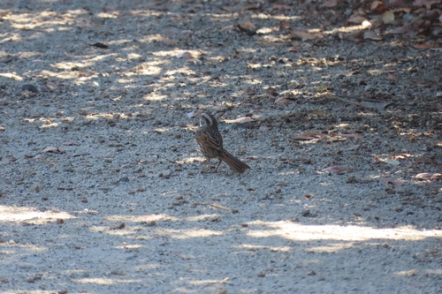
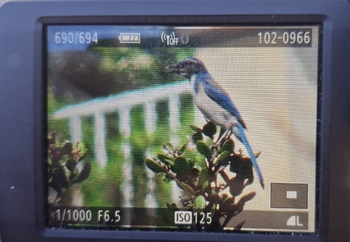
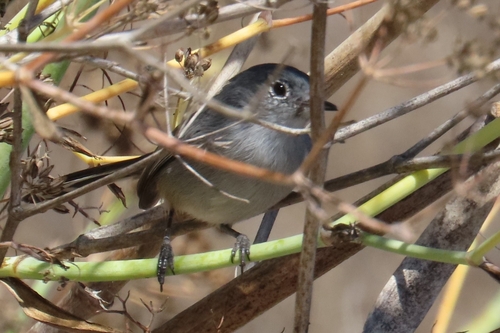
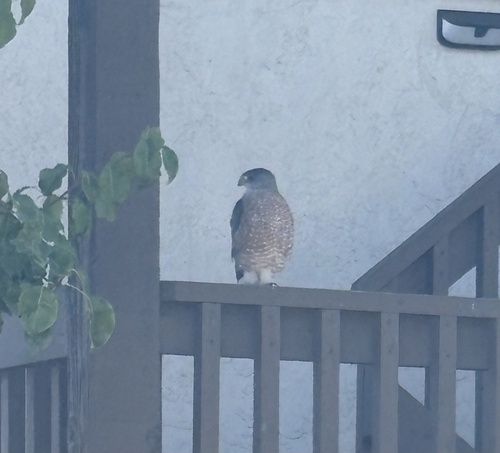
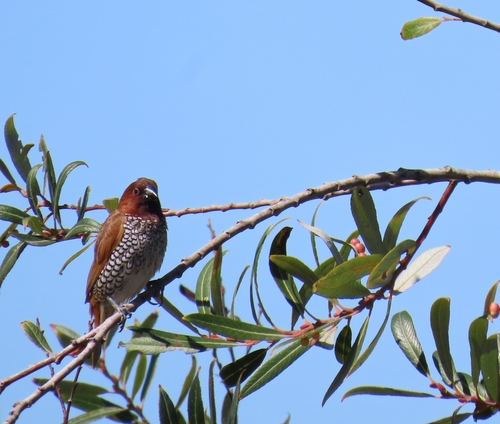
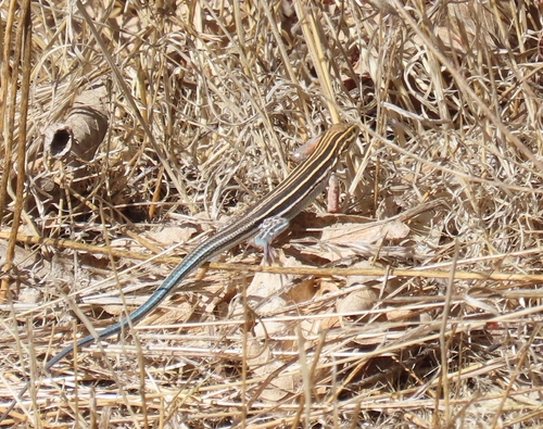
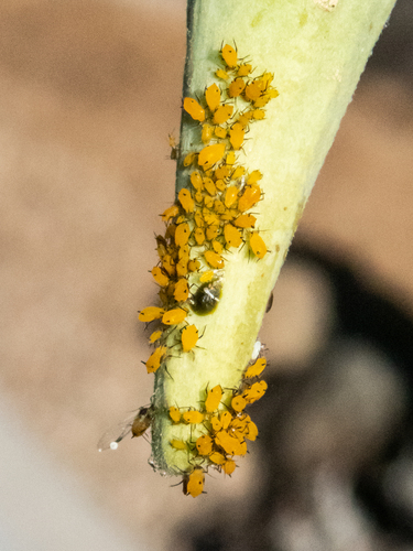
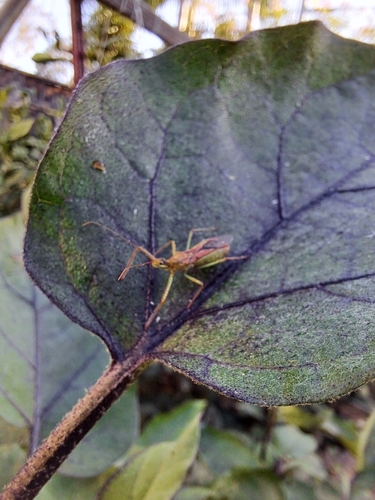
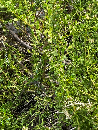
Research-grade observations from iNaturalist (within ~15 mi).
Nearest stream gauge
Events
Gallery
Sources
- • Wikipedia
- • US Census Bureau (ACS 5-year estimates)
- • NOAA National Weather Service
- • Wikidata
- • NCES via Urban Institute Education Data Portal
- • iNaturalist
- • CDC PLACES
- • Open-Meteo / sunrise-sunset.org
- • Wikipedia Pageviews API
- • Open Library
- • NASA EONET