Browse / United States / California / Descanso
Descanso
CaliforniaCDP

Descanso
Total population
1,590
Median home value
$662,600
Bachelor's+
Median income
$110,132
Demographic figures from US Census Bureau · ACS 5-year estimates. Overview below cites Wikipedia and may reference a different year.
City facts
Facts from Wikidata (CC0).
Overview
Descanso is a small unincorporated community in the Cuyamaca Mountains, within the Mountain Empire area of southeastern San Diego County, California. The community's name is a Spanish word meaning "rest from labor".
Read more on WikipediaHistory & geography
History
In 1884, a group of Spiritualists started Hulburd Grove. In 1898, the residents of the area started the Descanso school and the Descanso Town Hall. Peter Jacobs started the Descanso Park Addition in 1926.
Geography
According to the United States Census Bureau, the CDP covers an area of 19.2 square miles (49.8 km2), all of it land. According to the Köppen Climate Classification system, Descanso has a warm-summer Mediterranean climate, abbreviated "Csa" on climate maps.
Excerpted from the corresponding Wikipedia article (CC BY-SA).
Demographics & economy
Race & ethnicity
Source: US Census Bureau — American Community Survey, 5-year estimates.
Geography
Coordinates & boundaries from the US Census TIGER/Line shapefiles.
Climate
Current forecast
Forecast for Descanso, CA from NOAA NWS API.
Air quality
Industrial & pollution facilities
Natural hazard risk
Health (adults)
Age-adjusted prevalence estimates from CDC PLACES (latest release).
Walkability
Amenities nearby
Wildlife & biodiversity
Most-observed species
- Acorn WoodpeckerMelanerpes formicivorus (Swainson, 1827) · Aves8,502
- California/Woodhouse's Scrub-JayAphelocoma californica (Vigors, 1839) · Aves6,803
- Common RavenCorvus corax Linnaeus, 1758 · Aves6,276
- Mountain ChickadeePoecile gambeli (Ridgway, 1886) · Aves5,434
- Western BluebirdSialia mexicana Swainson, 1832 · Aves5,367
- White-breasted NuthatchSitta carolinensis Latham, 1790 · Aves5,220
- Spotted TowheePipilo maculatus Swainson, 1827 · Aves5,139
- Dark-eyed JuncoJunco hyemalis (Linnaeus, 1758) · Aves5,014
Citizen-science & research observations from the Global Biodiversity Information Facility (GBIF).
Schools
Largest nearby schools
- Boulder Oaks ElementaryElementary · Alpine · 438 students · 25.8:1 ratio
- Joan MacQueen MiddleMiddle · Alpine · 400 students · 19:1 ratio
- The Heights CharterElementary · Alpine · 265 students · 33.1:1 ratio
- Descanso ElementaryElementary · Descanso · 200 students · 25:1 ratio
- Pine Valley MiddleMiddle · Pine Valley · 154 students · 25.7:1 ratio
- JCS - Pine ValleyOther · Pine Valley · 143 students · 15.9:1 ratio
Public K–12 schools within ~10 mi from Urban Institute Education Data Portal (NCES Common Core of Data, 2022).
Earthquake history
Most recent
- M 3.08 — 2026-10-0120 km ESE of Anza, CA
- M 2.63 — 2026-09-239 km WNW of Anza, CA
- M 2.91 — 2026-08-3122 km SSW of La Quinta, CA
- M 3.06 — 2026-08-2512 km WSW of Salton City, CA
- M 3.64 — 2026-08-1914 km N of Warner Springs, CA
- M 2.63 — 2026-08-1328 km SSW of Ocotillo Wells, CA
Events from the USGS Earthquake Catalog (global) (FDSN Event Web Service).
Photos
Sights & places nearby
Notable people from here
Nearby places in California
- Jamul17.6 mi away · pop. 6,574
- Potrero17.8 mi away · pop. 417
- Bostonia18.6 mi away · pop. 16,765
- Poway24.3 mi away · pop. 48,713
- Bonita25.8 mi away · pop. 12,652
- Borrego Springs30.1 mi away · pop. 2,700
- Jacumba30.1 mi away
- Harmony Grove33.6 mi away · pop. 2,585
- Rancho Santa Fe34.8 mi away
- Del Mar37.2 mi away · pop. 3,903
- Ocotillo37.4 mi away
- Rainbow47.6 mi away · pop. 2,029
Geography & sun
Elevation, sunrise/sunset and daylight from Open-Meteo. Solar climatology from NASA POWER.
Nearby airports
Public attention
Pageview totals from the Wikimedia Pageviews API.
Books about Descanso


Search results from Open Library.
Recent natural events nearby
- Wildfire RIDGE, Los Angeles, CaliforniaWildfires · 2026-08-07 · 183 mi
- Wildfire BUZZARD, Kern, CaliforniaWildfires · 2026-08-05 · 192 mi
- Wildfire Campwood, Yavapai, ArizonaWildfires · 2026-08-23 · 236 mi
Wildfires, storms and other events from NASA EONET (last 12 months, within 250 mi).
Ground air-quality sensors
Recently spotted species
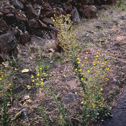
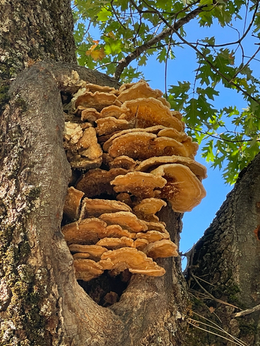
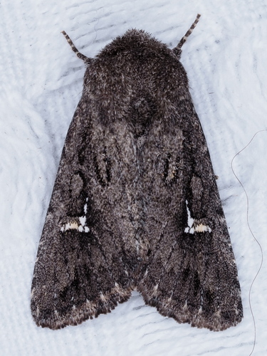
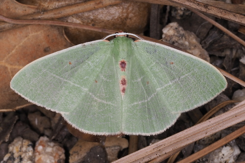
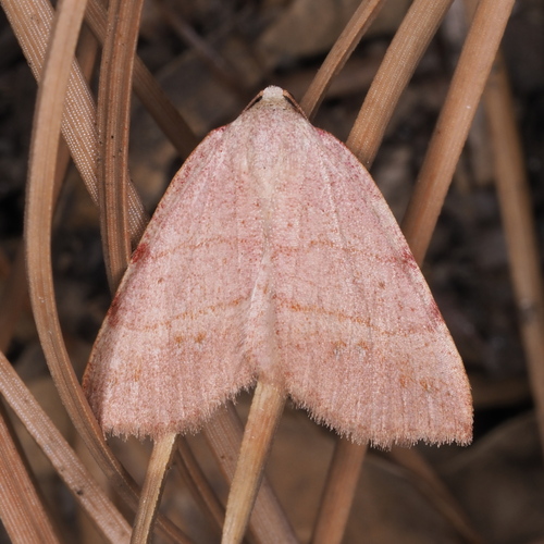
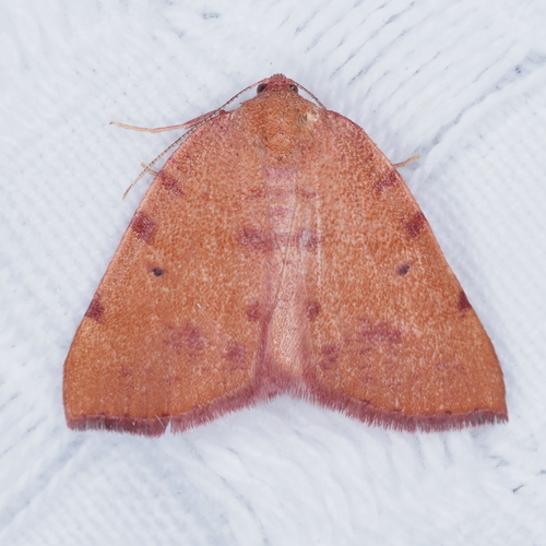
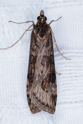
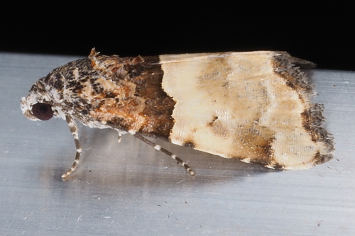
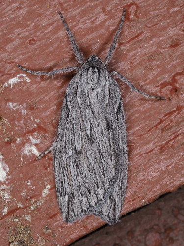
Research-grade observations from iNaturalist (within ~15 mi).
Nearest stream gauge
Events
Gallery
Sources
- • Wikipedia
- • US Census Bureau (ACS 5-year estimates)
- • NOAA National Weather Service
- • Wikidata
- • USGS Earthquake Catalog (global feed)
- • NCES via Urban Institute Education Data Portal
- • GBIF (Global Biodiversity Information Facility)
- • iNaturalist
- • CDC PLACES
- • Open-Meteo / sunrise-sunset.org
- • Wikipedia Pageviews API
- • Open Library
- • NASA EONET