Browse / United States / California / Borrego Springs
Borrego Springs
CaliforniaCDP

Borrego Springs
Total population
2,700
Demographic figures from US Census Bureau · ACS 5-year estimates. Overview below cites Wikipedia and may reference a different year.
City facts
Facts from Wikidata (CC0).
Overview
Borrego Springs is a census-designated place (CDP) in northeastern San Diego County, California. It is located within the Low Desert area of Southern California. The population was 3,073 at the 2020 census. Borrego Springs is surrounded by Anza-Borrego Desert State Park.
Read more on WikipediaHistory & geography
History
Anza-Borrego State Park's name is derived from Juan Bautista de Anza, who notably camped there, and "borrego", which is Spanish for "lamb", in honor of the local herds of bighorn sheep. The area east of town was the site of a vast World War II US Navy training center, the Borrego Valley Maneuver Area, with supporting camps and airstrips.
Geography
Borrego Springs is on the floor of the Borrego Valley, which lies at the Sonoran Desert ecoregion's western edge. The village and surrounding countryside have a wide variety of desert flora and fauna. One iconic species found in the Borrego Springs area is the California Fan Palm, Washingtonia filifera, a lower risk/near-threatened species and the only palm native to the western United States. An abandoned calcite mine, dating to World War II, is on the northeast slope of the Santa Rosa Mountains in the state park. Borrego Springs has a dry-summer hot desert climate (Köppen climate classification: BWhs). There are an average of 176.6 days with highs of or higher and an average of only 1.4 days with lows of or lower. The record high temperature was on June 25, 1990. The record low temperature was on January 5, 1971. The average annual precipitation is and there are an average of 22.2 days with measurable precipitation. The wettest year was 1983, with , and the driest was 1953, with . The most rainfall in one month was in January 1993. The most rainfall in 24 hours was on August 17, 1977. Although snow rarely falls in the lowlands, 6.5 inches fell in December 1967.
Excerpted from the corresponding Wikipedia article (CC BY-SA).
Demographics & economy
Geography
Coordinates & boundaries from the US Census TIGER/Line shapefiles.
Climate
Current forecast
Forecast for Borrego Springs, CA from NOAA NWS API.
Air quality
Industrial & pollution facilities
Natural hazard risk
Health (adults)
Age-adjusted prevalence estimates from CDC PLACES (latest release).
Walkability
Amenities nearby
Wildlife & biodiversity
Schools
Largest nearby schools
- Borrego Springs ElementaryElementary · Borrego Springs · 154 students · 30.8:1 ratio
- Borrego Springs HighHigh · Borrego Springs · 124 students · 13.8:1 ratio
- Borrego Springs MiddleMiddle · Borrego Springs · 80 students · 20:1 ratio
Public K–12 schools within ~10 mi from Urban Institute Education Data Portal (NCES Common Core of Data, 2022).
Earthquake history
Photos
Sights & places nearby
Notable people from here
Nearby places in California
- Oasis23.9 mi away
- Mount Laguna25.9 mi away
- Pine Valley29 mi away
- Descanso30.1 mi away · pop. 1,590
- North Shore31.9 mi away
- Palm Desert34.3 mi away · pop. 51,163
- Mountain Center38.7 mi away
- Ocotillo40.1 mi away
- Idyllwild-Pine Cove40.9 mi away
- Cathedral City41.5 mi away · pop. 52,267
- Indio Hills41.9 mi away · pop. 1,117
- Pala41.9 mi away
Geography & sun
Elevation, sunrise/sunset and daylight from Open-Meteo. Solar climatology from NASA POWER.
Nearby airports
Public attention
Pageview totals from the Wikimedia Pageviews API.
Books about Borrego Springs


Search results from Open Library.
Recent natural events nearby
- Wildfire RIDGE, Los Angeles, CaliforniaWildfires · 2026-08-07 · 178 mi
- Wildfire BUZZARD, Kern, CaliforniaWildfires · 2026-08-05 · 186 mi
- Wildfire Campwood, Yavapai, ArizonaWildfires · 2026-08-23 · 210 mi
Wildfires, storms and other events from NASA EONET (last 12 months, within 250 mi).
Ground air-quality sensors
Recently spotted species
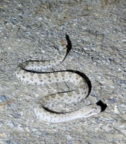
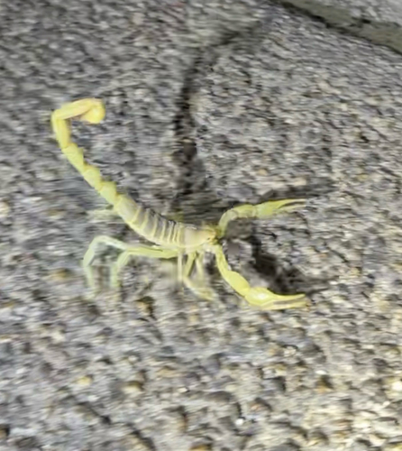
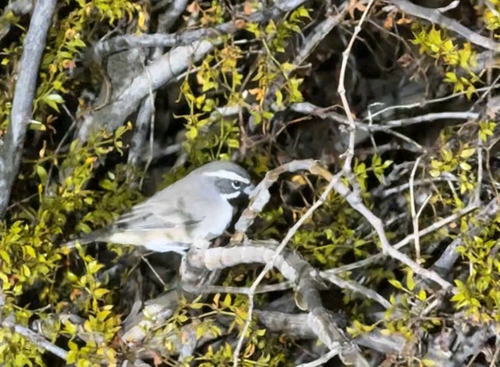
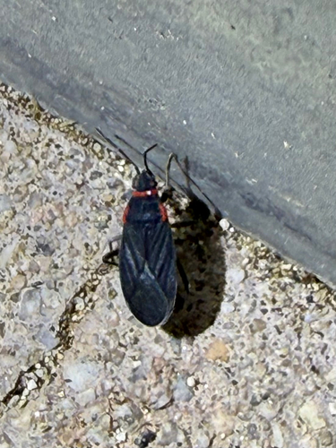
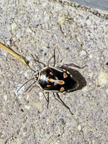
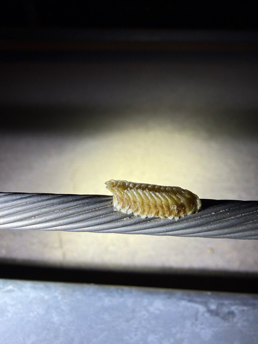
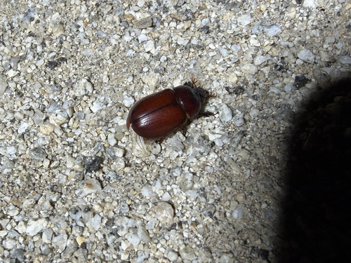
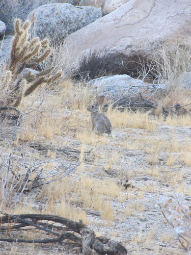
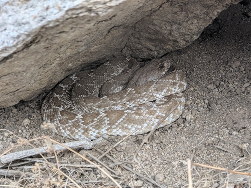
Research-grade observations from iNaturalist (within ~15 mi).
Nearest stream gauge
Events
Gallery
Sources
- • Wikipedia
- • NOAA National Weather Service
- • Wikidata
- • NCES via Urban Institute Education Data Portal
- • iNaturalist
- • CDC PLACES
- • Open-Meteo / sunrise-sunset.org
- • Wikipedia Pageviews API
- • Open Library
- • NASA EONET