Browse / United States / California / Cathedral City
Cathedral City
Californiacity

Cathedral City
Total population
52,267
Median home value
$453,100
Bachelor's+
Median income
$73,572
Founded
1925
Demographic figures from US Census Bureau · ACS 5-year estimates. Overview below cites Wikipedia and may reference a different year.
City facts
Facts from Wikidata (CC0).
Overview
Cathedral City is a desert resort city in Riverside County, California, United States, within the Colorado Desert's Coachella Valley. Situated between Palm Springs and Rancho Mirage, the city has the second largest population, after Indio, of the nine cities in the Coachella Valley. Its population was 51,493 at the 2020 census, a slight increase from 51,200 at the 2010 census.
Read more on WikipediaHistory & geography
History
Cathedral City sits at the northwestern end of the Coachella Valley between the San Bernardino Mountains to the north, and the San Jacinto Mountains to the south, with the San Gorgonio Pass to the West. The earliest established inhabitants of this region were the Cahuilla Indians. They arrived in the area around 3,000 BCE. The Cahuilla were organized into bands of about 600 to 800 people, and it was the Agua Caliente Band of Cahuilla Indians who inhabited the lands that included what would become Cathedral City. The land was claimed by Spain in 1768 when Spain established Las Californias, a province of the Viceroyalty of New Spain, and then by Mexico in 1821 when Mexico and Spain signed the Treaty of Cordoba. At that time the province had already been renamed and expanded into the larger Alta California province. After the Mexican–American War, and with the signing of the Treaty of Guadalupe Hidalgo in 1848, possession of the land was formally transferred to the United States, and it officially became part of the State of California when the state was formed in 1850. In 1852 US Army Colonel Henry Washington, a nephew of President George Washington, was contracted by the government to survey Southern California. On November 7 of that year he established the initial point, in the San Bernardino Mountains, from which all subsequent surveys in Southern California would be based. In 1855 he was contracted to continue his work and survey the Coachella Valley. It was then that he found and named Cathedral Canyon for which Cathedral City would eventually be named.
Geography
According to the United States Census Bureau, Cathedral City has a total area of , of which of it is land and of it (1.13%) is water. | date = April 2021 | source 2 = }}
Excerpted from the corresponding Wikipedia article (CC BY-SA).
Demographics & economy
Race & ethnicity
Source: US Census Bureau — American Community Survey, 5-year estimates.
Geography
Coordinates & boundaries from the US Census TIGER/Line shapefiles.
Climate
Current forecast
Forecast for Cathedral City, CA from NOAA NWS API.
Air quality
Industrial & pollution facilities
Natural hazard risk
Health (adults)
Age-adjusted prevalence estimates from CDC PLACES (latest release).
Walkability
Amenities nearby
Wildlife & biodiversity
Most-observed species
- Common RavenCorvus corax Linnaeus, 1758 · Aves12,432
- House FinchHaemorhous mexicanus (P.L.Statius Müller, 1776) · Aves11,937
- Costa's HummingbirdCalypte costae (Bourcier, 1839) · Aves11,679
- Mourning DoveZenaida macroura (Linnaeus, 1758) · Aves10,843
- VerdinAuriparus flaviceps (Sundevall, 1850) · Aves10,549
- Northern MockingbirdMimus polyglottos (Linnaeus, 1758) · Aves10,304
- Yellow-rumped WarblerSetophaga coronata (Linnaeus, 1766) · Aves9,515
- White-crowned SparrowZonotrichia leucophrys (J.R.Forster, 1772) · Aves8,053
Citizen-science & research observations from the Global Biodiversity Information Facility (GBIF).
Schools
Largest nearby schools
- Palm Desert HighHigh · Palm Desert · 2,050 students · 24.4:1 ratio
- Desert Hot Springs HighHigh · Desert Hot Springs · 1,742 students · 19.4:1 ratio
- Palm Springs HighHigh · Palm Springs · 1,584 students · 23:1 ratio
- Rancho Mirage HighHigh · Rancho Mirage · 1,491 students · 21.9:1 ratio
- Cathedral City HighHigh · Cathedral City · 1,395 students · 20.2:1 ratio
- Palm Desert Charter MiddleMiddle · Palm Desert · 1,347 students · 27.5:1 ratio
- James Workman MiddleMiddle · Cathedral City · 1,028 students · 22.8:1 ratio
- Nellie N. Coffman MiddleMiddle · Cathedral City · 953 students · 21.7:1 ratio
Public K–12 schools within ~10 mi from Urban Institute Education Data Portal (NCES Common Core of Data, 2022).
Earthquake history
Most recent
- M 2.67 — 2026-09-0839 km NE of Big Bear City, CA
- M 2.91 — 2026-08-3122 km SSW of La Quinta, CA
- M 3.06 — 2026-08-2512 km WSW of Salton City, CA
- M 3.64 — 2026-08-1914 km N of Warner Springs, CA
- M 3.22 — 2026-08-0117 km E of Desert Hot Springs, CA
- M 2.98 — 2026-07-319 km W of Palomar Observatory, CA
Events from the USGS Earthquake Catalog (global) (FDSN Event Web Service).
Photos
Sights & places nearby
Notable people from here
Nearby places in California
- Palm Desert8.8 mi away · pop. 51,163
- Desert Hot Springs9.6 mi away · pop. 33,200
- Indio Hills12.3 mi away · pop. 1,117
- Idyllwild-Pine Cove16.6 mi away
- Mountain Center17.3 mi away
- Cabazon19.1 mi away
- Banning26.1 mi away · pop. 31,093
- East Hemet28.4 mi away
- Oasis28.8 mi away
- Homestead Valley30.4 mi away
- Oak Glen31.9 mi away
- Big Bear City34.7 mi away · pop. 11,431
Geography & sun
Elevation, sunrise/sunset and daylight from Open-Meteo. Solar climatology from NASA POWER.
Nearby airports
Public attention
Pageview totals from the Wikimedia Pageviews API.
Books about Cathedral City


Search results from Open Library.
Recent natural events nearby
- Wildfire RIDGE, Los Angeles, CaliforniaWildfires · 2026-08-07 · 150 mi
- Wildfire BUZZARD, Kern, CaliforniaWildfires · 2026-08-05 · 158 mi
- Wildfire Campwood, Yavapai, ArizonaWildfires · 2026-08-23 · 200 mi
- Wildfire PLAINS, San Luis Obispo, CaliforniaWildfires · 2026-08-12 · 229 mi
- Prescribed Fire CRAWFORD CORRAL RX, Tulare, CaliforniaWildfires · 2026-09-19 · 238 mi
Wildfires, storms and other events from NASA EONET (last 12 months, within 250 mi).
Ground air-quality sensors
Recently spotted species
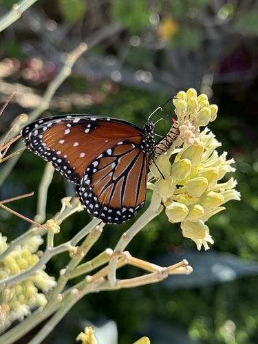
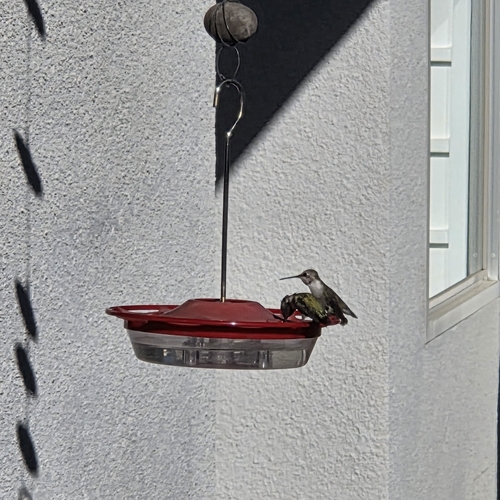
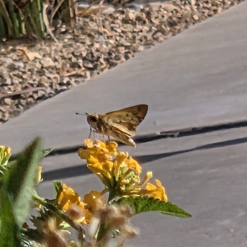
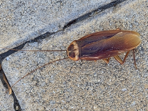
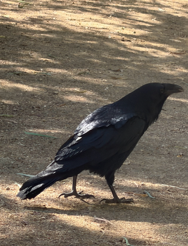
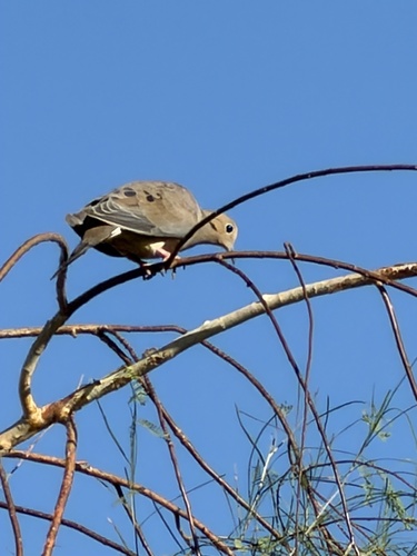
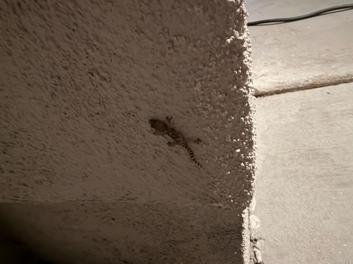
Research-grade observations from iNaturalist (within ~15 mi).
Nearest stream gauge
Events
Gallery
Sources
- • Wikipedia
- • US Census Bureau (ACS 5-year estimates)
- • NOAA National Weather Service
- • Wikidata
- • USGS Earthquake Catalog (global feed)
- • NCES via Urban Institute Education Data Portal
- • GBIF (Global Biodiversity Information Facility)
- • iNaturalist
- • CDC PLACES
- • Open-Meteo / sunrise-sunset.org
- • Wikipedia Pageviews API
- • Open Library
- • NASA EONET