Browse / United States / California / Big Bear City
Big Bear City
CaliforniaCDP

Big Bear City
Total population
11,431
Median home value
$463,500
Bachelor's+
Median income
$71,511
Demographic figures from US Census Bureau · ACS 5-year estimates. Overview below cites Wikipedia and may reference a different year.
City facts
Facts from Wikidata (CC0).
Overview
Big Bear City is an unincorporated community and census-designated place in San Bernardino County, California, United States along the east shore of Big Bear Lake and surrounded by the San Bernardino National Forest. It is 27 miles (43 km) northeast of the city of San Bernardino, and immediately east of the incorporated city of Big Bear Lake. Its population was 12,738 at the 2020 census, up from 12,304 at the 2010 census. Big Bear City is mostly residential, with smaller houses and cabins laid out in typical square block fashion. Big Bear is on the Pacific Crest Trail.
Read more on WikipediaHistory & geography
History
The first humans to inhabit Big Bear Valley were the Serrano Indians, who trace their beginnings to Bear Valley. Serrano means mountaineers, or those of the Sierras. The Serrano people that settled much of the San Bernardino Mountains, called themselves Yuhaviatam, or: people of the pines. It is estimated that the Serrano natives first settled in Big Bear between 1,500 and 2,000 years ago. The Serranos had both winter and summer settlements throughout the area. While their winter village was located in Lucerne Valley, they relocated to villages in the San Bernardino mountains during summer, as the altitude provided cooler temperatures. Villages were often located by rivers and lakes, however, mountain hunting camps were also established on higher elevations. Besides hunting, they also consumed pinyon nuts, mesquite beans, screw-beans, juniper berries and seeds. One of four major Serrano ethnographic sites was located in Big Bear City, called: Kayah-pia-t. Big Bear, and Lucerne Valley clans, both belonged to the same tribe: the Coyote Pervetum. Settling here because of the region's many natural resources, they harvested acorns and herbs, but also hunted deer, rabbits, and other wildlife. A number of mortar holes can be seen in Big Bear City; these holes made by the Serranos, were utilized to ground acorns into meals. The oldest known remains of a human settlement in Big Bear Valley can be seen at the Indian Grinding Rocks in Big Bear City, called: The Eye of God, which is a sacred site to the Serrano people. The Serrano's creation narrative took place at The Eye of God, which was known as Hatauva. The earliest known contact with European settlers in Big Bear occurred when Spanish Father Francisco Garcés arrived during his 1774-1776 expedition. Another source states,…
Geography
For statistical purposes, the United States Census Bureau has defined Big Bear City as a census-designated place (CDP). According to the United States Census Bureau, the CDP has a total area of , 99.95% of it land, and 0.05% of it water. The nearby ski resorts consist of Snow Summit and Bear Mountain. Most of the town and the business district are centered on Big Bear Boulevard. Its limits are defined on the west by Division Road and on the east by the left turn at Highway 38, which goes to Redlands and Highway 18 which goes south to San Bernardino and north to Lucerne Valley. Though its south boundary is loosely defined by the residential boundary, the north side is defined by North Shore Road. The east–west postal divider of Big Bear City is Green Way Drive. It is here that Highway 18 (Big Bear Boulevard) turns north and crosses over to North Shore Drive heading east toward Lucerne Valley, and Highway 38 coming from the east turns north to North Shore and heads west to Big Bear Dam in the city of Big Bear Lake, California. Sugarloaf is a large residential area that lies to the south of Big Bear City.
Excerpted from the corresponding Wikipedia article (CC BY-SA).
Demographics & economy
Race & ethnicity
Source: US Census Bureau — American Community Survey, 5-year estimates.
Geography
Coordinates & boundaries from the US Census TIGER/Line shapefiles.
Climate
Current forecast
Forecast for Big Bear City, CA from NOAA NWS API.
Air quality
Industrial & pollution facilities
Natural hazard risk
Health (adults)
Age-adjusted prevalence estimates from CDC PLACES (latest release).
Walkability
Amenities nearby
Wildlife & biodiversity
Schools
Largest nearby schools
- Big Bear HighHigh · Big Bear City · 624 students · 18.9:1 ratio
- North Shore ElementaryElementary · Big Bear Lake · 523 students · 23.8:1 ratio
- Big Bear MiddleMiddle · Big Bear Lake · 503 students · 22.9:1 ratio
- Baldwin Lane ElementaryElementary · Big Bear City · 381 students · 23.8:1 ratio
- Chautauqua High (Continuation)High · Big Bear City · 46 students · 46:1 ratio
Public K–12 schools within ~10 mi from Urban Institute Education Data Portal (NCES Common Core of Data, 2022).
Earthquake history
Photos
Sights & places nearby
Notable people from here


People born within ~10 km, from Wikidata (CC0). Click any name for their Wikipedia article.
Nearby places in California
- Big Bear Lake5.6 mi away · pop. 5,041
- Lucerne Valley14.4 mi away
- Homestead Valley21.8 mi away
- Banning22.1 mi away · pop. 29,505
- Cabazon23.6 mi away
- Desert Hot Springs25.1 mi away · pop. 32,512
- Crestline28 mi away
- Loma Linda29.7 mi away · pop. 24,791
- Apple Valley30.5 mi away
- Grand Terrace33.3 mi away
- Highgrove33.8 mi away
- Cathedral City34.7 mi away · pop. 52,267
Geography & sun
Elevation, sunrise/sunset and daylight from Open-Meteo. Solar climatology from NASA POWER.
Nearby airports
Public attention
Pageview totals from the Wikimedia Pageviews API.
Books about Big Bear City


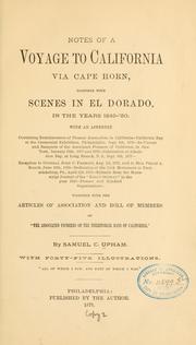
Search results from Open Library.
Recent natural events nearby
Ground air-quality sensors
Recently spotted species
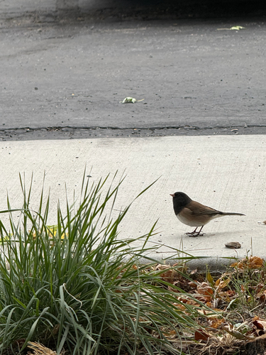
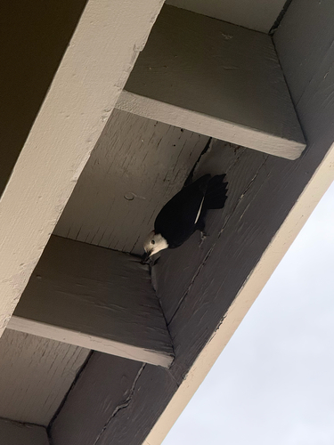
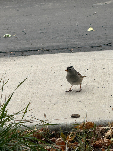
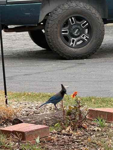
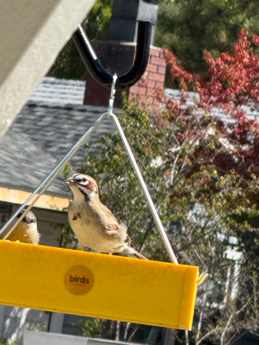
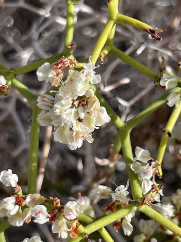
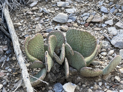
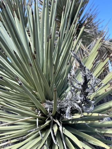
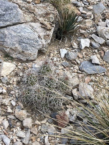
Research-grade observations from iNaturalist (within ~15 mi).
Nearest stream gauge
Events
Gallery
Sources
- • Wikipedia
- • US Census Bureau (ACS 5-year estimates)
- • NOAA National Weather Service
- • Wikidata
- • NCES via Urban Institute Education Data Portal
- • iNaturalist
- • CDC PLACES
- • Open-Elevation
- • Open-Meteo / sunrise-sunset.org
- • Wikipedia Pageviews API
- • Open Library