Browse / United States / California / Apple Valley
Apple Valley
Californiatown

Apple Valley
Total population
75,039
Median home value
$444,900
Bachelor's+
Median income
$82,170
Founded
1988
Demographic figures from US Census Bureau · ACS 5-year estimates. Overview below cites Wikipedia and may reference a different year.
City facts
Facts from Wikidata (CC0).
Overview
Apple Valley is an incorporated town in the Victor Valley of San Bernardino County, California, United States. Its population was 75,791 as of the 2020 United States census. The town is east of and adjoining to the neighboring cities of Victorville and Hesperia, 35 miles (56 km) south of Barstow, and 49 miles (79 km) north of San Bernardino through the Cajon Pass. It was incorporated on November 14, 1988, and is one of the 22 incorporated municipalities in California that use "town" in their names instead of "city".
Read more on WikipediaHistory & geography
History
For centuries, Apple Valley was populated by Shoshonean, Paiute, Vanyume, Chemehuevi, and Serrano who were attracted to the water and vegetation around the Mojave River. The Mojave people came later and were the tribal group encountered in 1542 by a detachment of Coronado's men. These were the first Spanish to come to the Mojave desert. Pedro Fages came through the area in 1772, looking for deserters. Father Francisco Garcés spent time in the area in 1776. He was on good terms with local tribes. He killed one of his mules to feed a group of starving Vanyumes. Garcés established a trail across the Mojave to the Colorado River passing through the Apple Valley area. The area was explored by various Spanish gold seekers in the 18th and 19th centuries. Jedediah Smith established the Old Spanish Trail through the southern Mojave and Cajon Pass. Smith was in the area in 1826 and again in 1827. Throughout the 19th century, Apple Valley became a thoroughfare of people traveling to Southern California for various reasons. Ute horse thieves, led by Chief Walkara, brought through an estimated 100,000 horses from their raids on the Lugo Rancho and San Gabriel Mission. In 1848, members of the Mormon Battalion, mustered out of the U.S. Army after constructing the first wagon road across the southwest to San Diego and up to Los Angeles, brought 135 mules and the first wagon through the Cajon Pass up through the Mojave River Valley on the way to the Salt Lake Valley. Battalion leader Jefferson Hunt and a crew of cowboys followed the trail with the first cattle drive from Southern California to hungry members of the Church of Jesus Christ of Latter-day Saints in present-day Utah. Hunt led a Latter-day Saint group of settlers to the San Bernardino Valley in 1851. In 1885, the…
Geography
Apple Valley is located at the southern edge of the Mojave Desert. It is bordered by the cities of Victorville on the west and Hesperia on the southwest sides, with the unincorporated community of Lucerne Valley a distance to the east and the city of Barstow about to the north. Apple Valley, along with Victorville, Hesperia, Adelanto, and immediate surrounding areas, are commonly known as the Victor Valley. The primary thoroughfare through Apple Valley is State Route 18, which was given the moniker "Happy Trails Highway" within Apple Valley town limits, after the theme song of Roy Rogers and Dale Evans, who once resided on Outer Highway 18. The commercial area is split currently between State Route 18 and Bear Valley Road (the two roads are near parallel until they intersect in the east, outside of town). The Mojave River that borders the west side of Apple Valley flows south-to-north. The town is bounded on its southern edge by the foothills of the San Bernardino Mountains. According to the United States Census Bureau, the town has a total area of , of which are land and , or 0.45%, is covered by water. The elevation of Apple Valley is about 2,900 ft (880 m) above sea level. According to the Köppen climate classification, Apple Valley has a semiarid climate (BSk). The city features cool winters and very hot, dry summers. Seasonal high winds occur occasionally in spring and fall. * On average, the warmest month is July. * The highest recorded temperature was in 2002. * On average, the coolest month is December. * The lowest recorded temperature was in 1949. * The most precipitation typically occurs in February.
Excerpted from the corresponding Wikipedia article (CC BY-SA).
Demographics & economy
Race & ethnicity
Source: US Census Bureau — American Community Survey, 5-year estimates.
Geography
Coordinates & boundaries from the US Census TIGER/Line shapefiles.
Climate
Current forecast
Forecast for Apple Valley, CA from NOAA NWS API.
Air quality
Industrial & pollution facilities
Natural hazard risk
Health (adults)
Age-adjusted prevalence estimates from CDC PLACES (latest release).
Walkability
Amenities nearby
Wildlife & biodiversity
Schools
Largest nearby schools
- Riverside PreparatoryOther · Oro Grande · 2,508 students · 23.2:1 ratio
- Apple Valley HighHigh · Apple Valley · 2,206 students · 24.2:1 ratio
- Excelsior CharterHigh · Victorville · 2,180 students · 26:1 ratio
- Silverado HighHigh · Victorville · 2,175 students · 23.1:1 ratio
- Sultana HighHigh · Hesperia · 2,169 students · 24.4:1 ratio
- Victor Valley HighHigh · Victorville · 2,045 students · 25.9:1 ratio
- Alta Vista Innovation HighHigh · Hesperia · 2,023 students · 26.6:1 ratio
- Granite Hills HighHigh · Apple Valley · 1,759 students · 22.6:1 ratio
Public K–12 schools within ~10 mi from Urban Institute Education Data Portal (NCES Common Core of Data, 2022).
Earthquake history
Photos
Sights & places nearby
Notable people from here


People born within ~10 km, from Wikidata (CC0). Click any name for their Wikipedia article.
Nearby places in California
- Mountain View Acres8.2 mi away
- Oak Hills14.8 mi away
- Crestline19.8 mi away
- Piñon Hills24.3 mi away
- Big Bear Lake27 mi away · pop. 5,041
- Muscoy27.3 mi away
- Big Bear City30.5 mi away · pop. 11,431
- Mentone33.1 mi away · pop. 9,514
- Loma Linda34 mi away · pop. 25,122
- Bloomington34.5 mi away · pop. 25,698
- Grand Terrace35.2 mi away · pop. 13,078
- Lake Los Angeles35.7 mi away · pop. 13,051
Geography & sun
Elevation, sunrise/sunset and daylight from Open-Meteo. Solar climatology from NASA POWER.
Nearby airports
Public attention
Pageview totals from the Wikimedia Pageviews API.
Books about Apple Valley



Search results from Open Library.
Recent natural events nearby
- Wildfire RIDGE, Los Angeles, CaliforniaWildfires · 2026-08-07 · 94 mi
- Wildfire BUZZARD, Kern, CaliforniaWildfires · 2026-08-05 · 100 mi
- Wildfire PLAINS, San Luis Obispo, CaliforniaWildfires · 2026-08-12 · 169 mi
- Prescribed Fire CRAWFORD CORRAL RX, Tulare, CaliforniaWildfires · 2026-09-19 · 174 mi
- Wildfire Campwood, Yavapai, ArizonaWildfires · 2026-08-23 · 234 mi
- Wildfire DOME, Mariposa, CaliforniaWildfires · 2026-09-15 · 249 mi
Wildfires, storms and other events from NASA EONET (last 12 months, within 250 mi).
Ground air-quality sensors
Recently spotted species
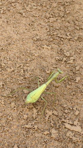
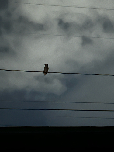

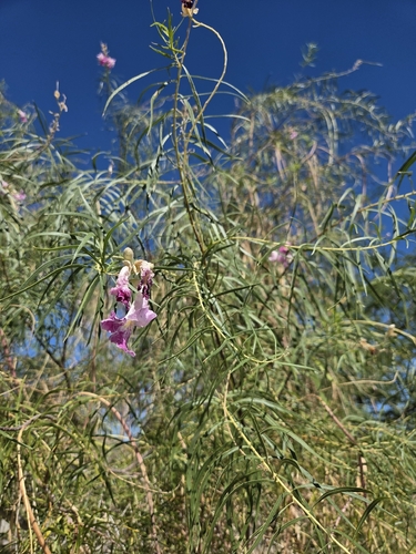
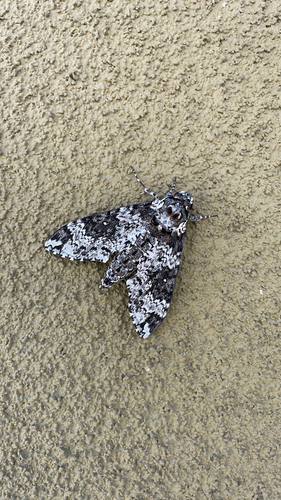
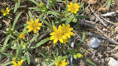
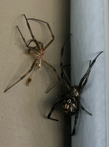
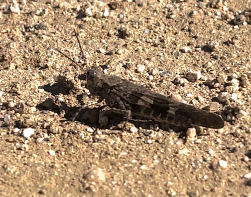
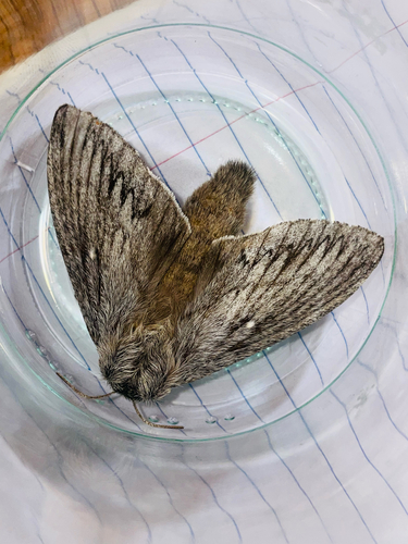
Research-grade observations from iNaturalist (within ~15 mi).
Nearest stream gauge
Live readings from USGS NWIS · measured 2026-10-01 16:45 UTC.
Events
Gallery
Sources
- • Wikipedia
- • US Census Bureau (ACS 5-year estimates)
- • NOAA National Weather Service
- • Wikidata
- • USGS NWIS (water data)
- • NCES via Urban Institute Education Data Portal
- • iNaturalist
- • CDC PLACES
- • Open-Meteo / sunrise-sunset.org
- • Wikipedia Pageviews API
- • Open Library
- • NASA EONET