Browse / United States / California / Mentone
Mentone
CaliforniaCDP

Mentone
Total population
9,514
Median home value
$436,700
Bachelor's+
Median income
$74,708
Air quality index
Demographic figures from US Census Bureau · ACS 5-year estimates. Overview below cites Wikipedia and may reference a different year.
- Extreme Heat Warning · SevereExtreme Heat Warning issued October 1 at 1:12PM PDT until October 8 at 8:00PM PDT by NWS San Diego CA
Source: NOAA National Weather Service.
City facts
Facts from Wikidata (CC0).
Overview
Mentone is a census-designated place in the Inland Empire region of San Bernardino County, California, United States. The population was 9,557 at the 2020 census, up from 8,720 at the 2010 census.
Read more on WikipediaHistory & geography
History
W.H. Drew and N.K. Fairbanks formed Mentone Corporation in 1886. They purchased 3,000 acres east of Lugonia colony and north of Crafton colony on the south bank of the Santa Ana River. Within the year, The Santa Fe Railroad also established a stop in 1886. William P. McIntosh surveyed the land for the Mentone corporation and bought most of the land himself. He named the city streets for earth gemstones north–south, and after beach resorts east–west. It was named for Menton, France. A map for the Mentone townsite was filed on February 24, 1888. The Mentone Post Office was opened on May 15, 1891. The Mentone Hotel opened in 1892 and advertised as an inland beach resort with postcards showcasing a full river with sailing boats. The Santa Fe route was part of a tourist route named the "Kite-Shaped Track" from Los Angeles with stops in nearby Riverside, Redlands and San Bernardino. The Mentone Hotel did not prosper and immediately converted into a sanitarium for people with tuberculosis and asthma by 1900. The hotel closed its doors in 1917. Navel orange groves and olive trees became popular in the area. Nearby colonies of Lugonia, Crafton, and Redlands incorporated into the city of Redlands in 1888. The area and most acreages became fruit tree crops. Mentone did not incorporate with Redlands and remains a county jurisdiction with a population near 10,000. Residents colloquially call the town "Mentone Beach".
Excerpted from the corresponding Wikipedia article (CC BY-SA).
Demographics & economy
Race & ethnicity
Source: US Census Bureau — American Community Survey, 5-year estimates.
Geography
Coordinates & boundaries from the US Census TIGER/Line shapefiles.
Climate
Current forecast
Forecast for Mentone, CA from NOAA NWS API.
Air quality
Current readings from Open-Meteo Air Quality API (Copernicus CAMS European reanalysis).
Industrial & pollution facilities
Natural hazard risk
Health (adults)
Age-adjusted prevalence estimates from CDC PLACES (latest release).
Walkability
Amenities nearby
Wildlife & biodiversity
Most-observed species
- House FinchHaemorhous mexicanus (P.L.Statius Müller, 1776) · Aves18,768
- Lesser GoldfinchSpinus psaltria (Say, 1822) · Aves15,531
- California TowheeMelozone crissalis (Vigors, 1839) · Aves14,806
- Anna's HummingbirdCalypte anna (R.Lesson, 1829) · Aves13,621
- Mourning DoveZenaida macroura (Linnaeus, 1758) · Aves13,070
- Common RavenCorvus corax Linnaeus, 1758 · Aves12,746
- Black PhoebeSayornis nigricans (Swainson, 1827) · Aves11,568
- American CrowCorvus brachyrhynchos C.L.Brehm, 1822 · Aves11,147
Citizen-science & research observations from the Global Biodiversity Information Facility (GBIF).
Schools
Largest nearby schools
- Sage Oak CharterOther · Redlands · 3,048 students · 21.3:1 ratio
- Redlands Senior HighHigh · Redlands · 2,232 students · 21.7:1 ratio
- Citrus Valley HighHigh · Redlands · 2,150 students · 22.2:1 ratio
- Indian Springs HighHigh · San Bernardino · 1,901 students · 22.9:1 ratio
- Redlands East Valley HighHigh · Redlands · 1,853 students · 20.1:1 ratio
- San Gorgonio HighHigh · San Bernardino · 1,542 students · 20:1 ratio
- Cope MiddleMiddle · Redlands · 1,275 students · 21.6:1 ratio
- Gorman Learning CenterOther · Redlands · 1,188 students · 19.8:1 ratio
Public K–12 schools within ~10 mi from Urban Institute Education Data Portal (NCES Common Core of Data, 2022).
Earthquake history
Most recent
- M 2.63 — 2026-09-239 km WNW of Anza, CA
- M 2.67 — 2026-09-0839 km NE of Big Bear City, CA
- M 3.2 — 2026-09-026 km SE of Ontario, CA
- M 2.91 — 2026-08-3122 km SSW of La Quinta, CA
- M 3.64 — 2026-08-1914 km N of Warner Springs, CA
- M 2.78 — 2026-08-166 km SE of Ontario, CA
Events from the USGS Earthquake Catalog (global) (FDSN Event Web Service).
Photos
Sights & places nearby
Notable people from here
Nearby places in California
- Loma Linda7.8 mi away · pop. 25,122
- Oak Glen8.8 mi away
- Grand Terrace11.5 mi away
- Banning14.7 mi away · pop. 31,093
- Muscoy14.8 mi away
- Bloomington16.4 mi away · pop. 25,698
- Crestline16.6 mi away
- Big Bear Lake17.8 mi away · pop. 5,041
- Nuevo18 mi away
- Cabazon21.6 mi away
- Big Bear City22.6 mi away · pop. 11,431
- El Sobrante23.8 mi away
Geography & sun
Elevation, sunrise/sunset and daylight from Open-Meteo. Solar climatology from NASA POWER.
Nearby airports
Public attention
Pageview totals from the Wikimedia Pageviews API.
Books about Mentone

Search results from Open Library.
Recent natural events nearby
- Wildfire RIDGE, Los Angeles, CaliforniaWildfires · 2026-08-07 · 110 mi
- Wildfire BUZZARD, Kern, CaliforniaWildfires · 2026-08-05 · 118 mi
- Wildfire PLAINS, San Luis Obispo, CaliforniaWildfires · 2026-08-12 · 189 mi
- Prescribed Fire CRAWFORD CORRAL RX, Tulare, CaliforniaWildfires · 2026-09-19 · 204 mi
- Wildfire Campwood, Yavapai, ArizonaWildfires · 2026-08-23 · 232 mi
Wildfires, storms and other events from NASA EONET (last 12 months, within 250 mi).
Ground air-quality sensors
Recently spotted species
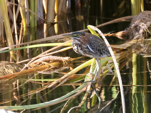
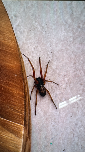
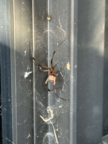
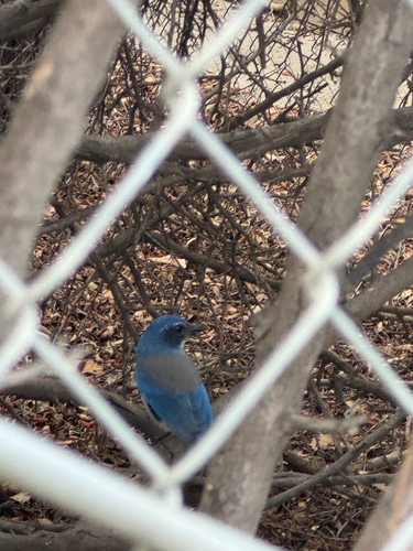
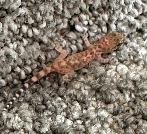
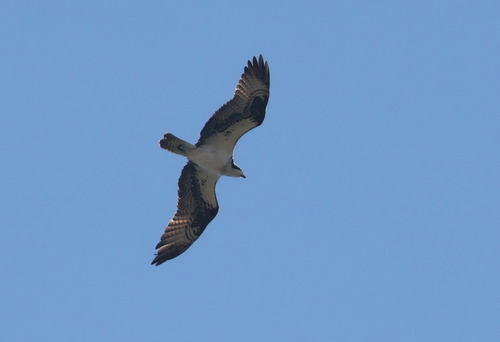
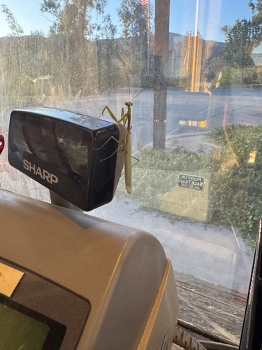
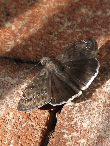
Research-grade observations from iNaturalist (within ~15 mi).
Nearest stream gauge
Live readings from USGS NWIS · measured 2026-10-01 16:45 UTC.
Events
Gallery
Sources
- • Wikipedia
- • US Census Bureau (ACS 5-year estimates)
- • NOAA National Weather Service
- • Wikidata
- • Open-Meteo Air Quality (CAMS)
- • USGS Earthquake Catalog (global feed)
- • USGS NWIS (water data)
- • NCES via Urban Institute Education Data Portal
- • GBIF (Global Biodiversity Information Facility)
- • iNaturalist
- • CDC PLACES
- • Open-Meteo / sunrise-sunset.org
- • Wikipedia Pageviews API
- • Open Library
- • NASA EONET