Browse / United States / California / Big Bear Lake
Big Bear Lake
Californiacity

Big Bear Lake
Total population
5,041
Median home value
$576,700
Bachelor's+
Median income
$76,250
Demographic figures from US Census Bureau · ACS 5-year estimates. Overview below cites Wikipedia and may reference a different year.
City facts
Facts from Wikidata (CC0).
Overview
Big Bear Lake is a city in San Bernardino County, California, United States, located in the San Bernardino Mountains along the south shore of Big Bear Lake, and surrounded by the San Bernardino National Forest. The city is about 25 miles (40 km) northeast of the city of San Bernardino, and immediately west of the unincorporated town of Big Bear City. The population was approximately 5,046 at the 2020 census. However, as a popular year-round resort destination, the actual number of people staying in or visiting the greater Big Bear Valley area regularly surges to over 100,000 during many weekends of the year.
Read more on WikipediaHistory & geography
History
Big Bear Lake was inhabited by the indigenous Serrano people for over 2,000 years before it was explored by Benjamin Wilson and his party. Once populated by only the natives and the grizzly bears, from which the area received its name, the population of the Big Bear Valley grew rapidly during the Southern California gold rush from 1861 to 1912. Grizzly bears were not found in the region after 1908. and they are sometimes sighted in residential areas. A trip to Big Bear Lake from San Bernardino took two days on horse-drawn coaches. Kirk Phillips was a local who took a trip to New York City and saw the world's first bus line. This inspired him to create the world's second bus line from San Bernardino to Big Bear Valley using white trucks with several rows of seats. This made it possible for the villages to grow and for Big Bear Lake to become the first mountain recreation area in Southern California. Many people traveled to enjoy recreation on the lake. However, another major draw was the natural hot spring. Emile Jesserun bought of land that included the hot spring and built the first major resort in Big Bear, the Pan Hot Springs Hotel, in 1921. This resort was followed with others that strove to be the best by creating a country club atmosphere, complete with the amenities required to lure the Hollywood celebrities of the time including Cecil B. DeMille, Shirley Temple, and Ginger Rogers. By 1924, Big Bear was populated with 44 resorts and a constant stream of vacationers. The Pan Hot Springs Hotel, like many of the other resorts and hotels in Big Bear, was extensively damaged by fire in 1933. In 1933, the California Fish and Game Commission transported around 27 black bears from Yosemite National Park to Southern California, releasing them near Big Bear. For…
Geography
According to the United States Census Bureau, the city has a total area of , of which is land and of which (2.88%) is water. It is located northeast of the city of San Bernardino, and immediately west of Big Bear City. Big Bear Lake is at an official elevation of 6,752 ft (2,058 m) above sea level. The California Office of Environmental Health Hazard Assessment has issued a safety advisory for any fish caught in Big Bear Lake due to elevated levels of mercury and PCBs. According to the National Weather Service, the warmest month at Big Bear is July, with a daily average temperature of . The coolest month is February, with a daily average temperature of . (January and December are nearly tied, at .) There are an average of 1.3 days each year with highs of or higher. Freezing temperatures have occurred in every month and occur on an average of 176.2 days each year, on average from September 24 to June 4. With a period of record dating back to only 1960, the highest temperature recorded was , recorded on June 30, 1994, while the lowest was on November 19, 1964. Due to the elevation of the weather station, precipitation is greater than in the lowlands of southern California, averaging a year. The maximum 24-hour precipitation was on December 6, 1966. Measurable precipitation normally occurs 43.3 days a year. Mountain thunderstorms can produce heavy rainfall, even in midsummer (when most southern California lowland locations are quite dry). Under the Köppen climate classification, Big Bear Lake has a warm-summer Mediterranean climate (Csb) bordering a humid continental climate (Dsb); it lies within USDA plant hardiness zone 7a. Big Bear Lake is the highest and coldest incorporated city in southern California. In contrast to most of southern California,…
Excerpted from the corresponding Wikipedia article (CC BY-SA).
Demographics & economy
Race & ethnicity
Source: US Census Bureau — American Community Survey, 5-year estimates.
Geography
Coordinates & boundaries from the US Census TIGER/Line shapefiles.
Climate
10-year averages from ERA5 reanalysis (Open-Meteo).
Current forecast
Forecast for Big Bear Lake, CA from NOAA NWS API.
Air quality
Industrial & pollution facilities
Natural hazard risk
Health (adults)
Walkability
Amenities nearby
Wildlife & biodiversity
Schools
Earthquake history
Photos
Sights & places nearby
Notable people from here


People born within ~10 km, from Wikidata (CC0). Click any name for their Wikipedia article.
Nearby places in California
- Big Bear City5.6 mi away · pop. 11,431
- Oak Glen14.5 mi away
- Mentone17.8 mi away · pop. 9,514
- Banning20.5 mi away · pop. 31,093
- Crestline22.4 mi away
- Cabazon23.7 mi away
- Loma Linda24.6 mi away · pop. 25,122
- Muscoy26.6 mi away
- Apple Valley27 mi away · pop. 75,039
- Homestead Valley27.5 mi away
- Grand Terrace28.1 mi away
- Desert Hot Springs28.2 mi away · pop. 33,200
Geography & sun
Elevation, sunrise/sunset and daylight from Open-Meteo. Solar climatology from NASA POWER.
Nearby airports
Public attention
Pageview totals from the Wikimedia Pageviews API.
Books about Big Bear Lake

Search results from Open Library.
Recent natural events nearby
- Wildfire RIDGE, Los Angeles, CaliforniaWildfires · 2026-08-07 · 117 mi
- Wildfire BUZZARD, Kern, CaliforniaWildfires · 2026-08-05 · 124 mi
- Wildfire PLAINS, San Luis Obispo, CaliforniaWildfires · 2026-08-12 · 194 mi
- Prescribed Fire CRAWFORD CORRAL RX, Tulare, CaliforniaWildfires · 2026-09-19 · 201 mi
- Wildfire Campwood, Yavapai, ArizonaWildfires · 2026-08-23 · 218 mi
Wildfires, storms and other events from NASA EONET (last 12 months, within 250 mi).
Ground air-quality sensors
Recently spotted species
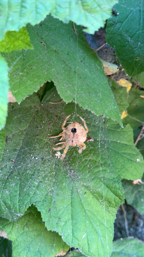
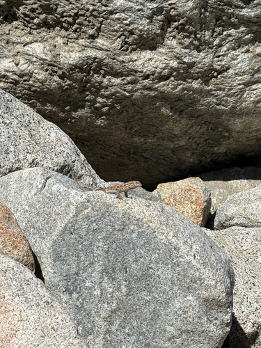
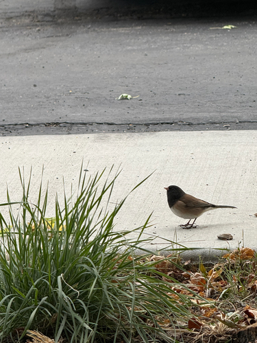
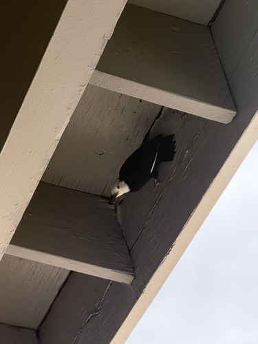
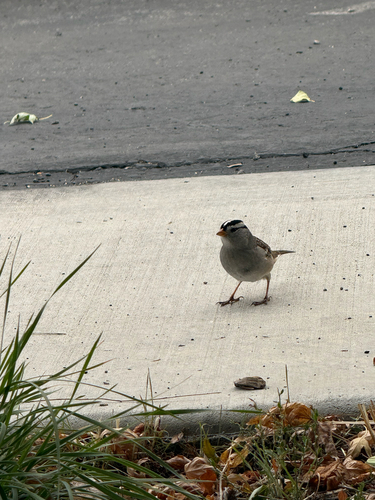
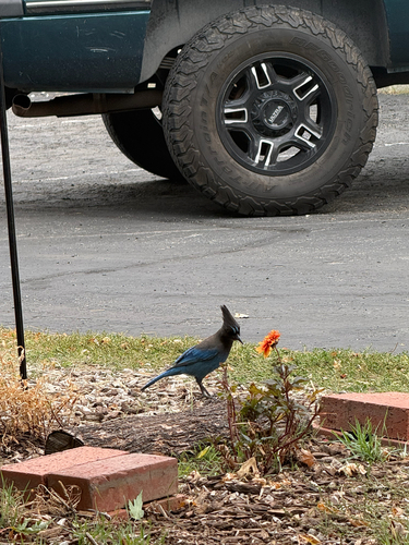
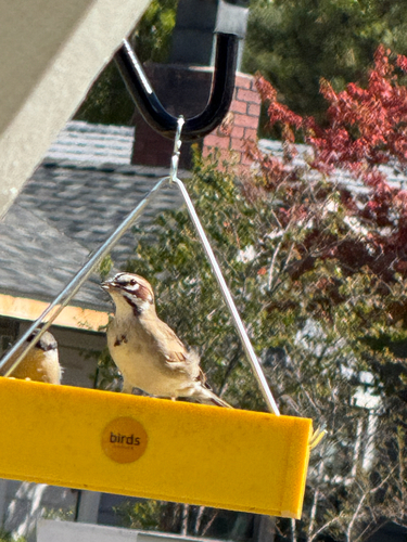
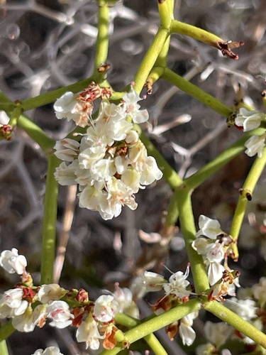
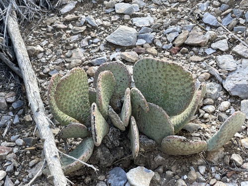
Research-grade observations from iNaturalist (within ~15 mi).
Nearest stream gauge
Events
Gallery
Sources
- • Wikipedia
- • US Census Bureau (ACS 5-year estimates)
- • Open-Meteo (ERA5 reanalysis)
- • NOAA National Weather Service
- • Wikidata
- • iNaturalist
- • Open-Elevation
- • Open-Meteo / sunrise-sunset.org
- • Wikipedia Pageviews API
- • Open Library
- • NASA EONET