Browse / United States / California / Banning
Banning
Californiacity

Banning
Total population
31,093
Median home value
$352,100
Bachelor's+
Median income
$61,764
Founded
1913
Air quality index
Demographic figures from US Census Bureau · ACS 5-year estimates. Overview below cites Wikipedia and may reference a different year.
- Extreme Heat Warning · SevereExtreme Heat Warning issued October 6 at 3:38PM PDT until October 9 at 8:00PM PDT by NWS San Diego CA
Source: NOAA National Weather Service.
City facts
Facts from Wikidata (CC0).
Overview
Banning is a city in the Inland Empire region of Riverside County, California, United States. Its population was 29,505 as of the 2020 census, down from 29,603 at the 2010 census. It is situated in the San Gorgonio Pass, also known as Banning Pass. It is named for Phineas Banning, stagecoach line owner and the "Father of the Port of Los Angeles."
Read more on WikipediaHistory & geography
History
Initially named Moore City, by Ransom B. Moore, within only a few months the town was renamed for Phineas Banning, "Father of the Port of Los Angeles", who had pastured sheep in the San Gorgonio Pass area, and operated a stagecoach that ran through the Pass. The area, up to the mid-19th century, was inhabited by the Cahuilla people, though the region around Banning was originally Maringayam (Serrano); the Cahuilla expansion into the pass occurred only late in recent, documented history. In 1824, the Mission San Gabriel Arcángel established the Rancho San Gorgonio in the pass. The first Anglo to settle in the area was Dr. Isaac Smith in 1853. In 1863, a smallpox epidemic further diminished the Cahuilla. The Indian reservations for the Cahuilla were established in 1877. The settlement that was to become Banning developed in coincidence with the start of the Colorado River Gold Rush. The Bradshaw Trail, which passed through the area in 1862, was a wagon road to the gold boomtowns of the Arizona Territory. Gilman's Ranch, north of downtown, served as a station for the stagecoach lines on this road. The railroad followed, passing through the town in 1876. The Southern Pacific (later purchased by Union Pacific) railroad was a major contributor to the area's growth. U.S. Route 99 was built in 1923, followed by U.S. Route 60/70 in 1936, and subsequently Interstate 10. Banning borders the Morongo Indian Reservation, home to the Morongo Band of Cahuilla (Mission) Indians. Relations with reservation residents have been strained by disputes over water rights. Dorothy Ramon's book Always Believe (published 2000) depicts a Maringayam's views on Banning and reservation life. Prior to the name Banning, the settlement was called Moore City. Ransom B. Moore operated a large cattle…
Geography
Banning is located at (33.931729, -116.897557). According to the United States Census Bureau, the city has a total area of , all of it land. Banning's elevation is approximately above sea level, which gives it a cooler climate in contrast to the county seat of Riverside at above sea level and the Coachella Valley of the Colorado Desert to the east. Banning is traversed by the San Andreas Fault which created the pass in which the city is situated. Banning is west of Palm Springs and east of Los Angeles. According to the Köppen Climate Classification system, Banning has a warm-summer Mediterranean climate, abbreviated "Csa" on climate maps.
Excerpted from the corresponding Wikipedia article (CC BY-SA).
Demographics & economy
Race & ethnicity
Source: US Census Bureau — American Community Survey, 5-year estimates.
Geography
Coordinates & boundaries from the US Census TIGER/Line shapefiles.
Climate
Current forecast
Forecast for Banning, CA from NOAA NWS API.
Air quality
Current readings from Open-Meteo Air Quality API (Copernicus CAMS European reanalysis).
Industrial & pollution facilities
Natural hazard risk
Health (adults)
Age-adjusted prevalence estimates from CDC PLACES (latest release).
Walkability
Amenities nearby
Wildlife & biodiversity
Most-observed species
- Common RavenCorvus corax Linnaeus, 1758 · Aves6,762
- Red-tailed HawkButeo jamaicensis (Gmelin, 1788) · Aves5,978
- House FinchHaemorhous mexicanus (P.L.Statius Müller, 1776) · Aves5,798
- Black PhoebeSayornis nigricans (Swainson, 1827) · Aves5,319
- Mourning DoveZenaida macroura (Linnaeus, 1758) · Aves4,720
- Nuttall's WoodpeckerDryobates nuttallii (Gambel, 1843) · Aves4,515
- MallardAnas platyrhynchos Linnaeus, 1758 · Aves4,496
- Song SparrowMelospiza melodia (A.Wilson, 1810) · Aves4,379
Citizen-science & research observations from the Global Biodiversity Information Facility (GBIF).
Schools
Largest nearby schools
- Mission Vista AcademyOther · Beaumont · 4,794 students · 30.5:1 ratio
- Beaumont Senior HighHigh · Beaumont · 3,328 students · 26.6:1 ratio
- San Gorgonio MiddleMiddle · Beaumont · 1,215 students · 22.1:1 ratio
- Banning HighHigh · Banning · 1,146 students · 20.1:1 ratio
- Summerwind TrailsElementary · Calimesa · 1,057 students · 23.5:1 ratio
- Nicolet MiddleMiddle · Banning · 975 students · 21.7:1 ratio
- Mountain View MiddleMiddle · Beaumont · 935 students · 21.3:1 ratio
- Starlight ElementaryElementary · Beaumont · 907 students · 24.5:1 ratio
Public K–12 schools within ~10 mi from Urban Institute Education Data Portal (NCES Common Core of Data, 2022).
Earthquake history
Most recent
- M 2.67 — 2026-09-0839 km NE of Big Bear City, CA
- M 3.2 — 2026-09-026 km SE of Ontario, CA
- M 2.91 — 2026-08-3122 km SSW of La Quinta, CA
- M 3.64 — 2026-08-1914 km N of Warner Springs, CA
- M 2.78 — 2026-08-166 km SE of Ontario, CA
- M 3.04 — 2026-08-1210 km WSW of Corona, CA
Events from the USGS Earthquake Catalog (global) (FDSN Event Web Service).
Photos
Sights & places nearby
Notable people from here


People born within ~10 km, from Wikidata (CC0). Click any name for their Wikipedia article.
Nearby places in California
- Cabazon7 mi away · pop. 1,887
- Mentone14.7 mi away · pop. 9,514
- Big Bear Lake20.5 mi away · pop. 5,041
- Desert Hot Springs20.5 mi away · pop. 33,200
- Loma Linda21.1 mi away · pop. 25,122
- Big Bear City22.1 mi away · pop. 11,431
- Grand Terrace24.4 mi away · pop. 13,078
- Cathedral City26.1 mi away · pop. 52,267
- Muscoy29.5 mi away
- Bloomington29.8 mi away · pop. 25,698
- Crestline30.7 mi away
- Homestead Valley35.8 mi away
Geography & sun
Elevation, sunrise/sunset and daylight from Open-Meteo. Solar climatology from NASA POWER.
Nearby airports
Public attention
Pageview totals from the Wikimedia Pageviews API.
Books about Banning


Search results from Open Library.
Recent natural events nearby
- Wildfire RIDGE, Los Angeles, CaliforniaWildfires · 2026-08-07 · 125 mi
- Wildfire BUZZARD, Kern, CaliforniaWildfires · 2026-08-05 · 133 mi
- Wildfire PLAINS, San Luis Obispo, CaliforniaWildfires · 2026-08-12 · 203 mi
- Prescribed Fire CRAWFORD CORRAL RX, Tulare, CaliforniaWildfires · 2026-09-19 · 218 mi
- Wildfire Campwood, Yavapai, ArizonaWildfires · 2026-08-23 · 222 mi
Wildfires, storms and other events from NASA EONET (last 12 months, within 250 mi).
Ground air-quality sensors
Recently spotted species
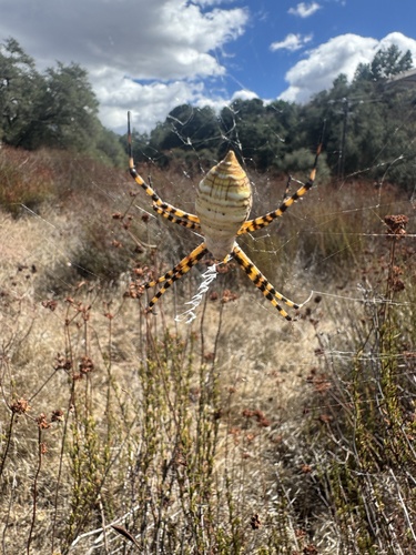
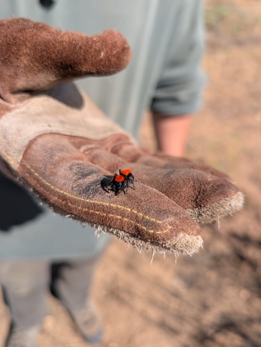
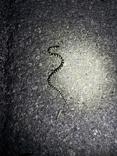
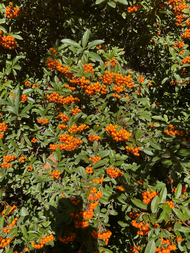
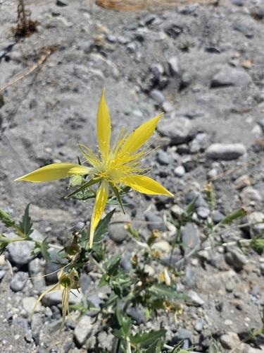
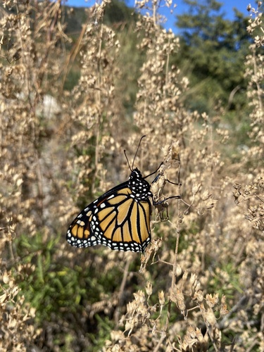
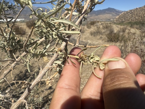
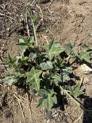
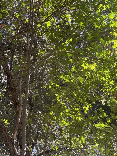
Research-grade observations from iNaturalist (within ~15 mi).
Nearest stream gauge
Events
Gallery
Sources
- • Wikipedia
- • US Census Bureau (ACS 5-year estimates)
- • NOAA National Weather Service
- • Wikidata
- • Open-Meteo Air Quality (CAMS)
- • USGS Earthquake Catalog (global feed)
- • NCES via Urban Institute Education Data Portal
- • GBIF (Global Biodiversity Information Facility)
- • iNaturalist
- • CDC PLACES
- • Open-Elevation
- • Open-Meteo / sunrise-sunset.org
- • Wikipedia Pageviews API
- • Open Library
- • NASA EONET