Browse / United States / California / Desert Hot Springs
Desert Hot Springs
Californiacity

Desert Hot Springs
Total population
33,200
Median home value
$354,800
Bachelor's+
Median income
$52,761
Demographic figures from US Census Bureau · ACS 5-year estimates. Overview below cites Wikipedia and may reference a different year.
City facts
Facts from Wikidata (CC0).
Overview
Desert Hot Springs is a city in Riverside County, California, United States. The city is located within the Coachella Valley geographic region. The population was 32,512 as of the 2020 census, up from 25,938 at the 2010 census. The city has experienced rapid growth since the 1970s when there were 2,700 residents. The city is commonly referred to by its initials, DHS.
Read more on WikipediaHistory & geography
History
The only people residing in areas north of Palm Springs before the 20th century were the Cahuilla Indians in the village of Seven Palms. Cabot Yerxa arrived in 1913 and soon discovered the hot water aquifer on Miracle Hill. Due to the Mission Creek Branch of the San Andreas Fault bisecting the area, one side is a cold water aquifer, the other has a hot water aquifer. His large Pueblo Revival Style architecture structure, hand built over 20 years, is now one of the oldest adobe-style buildings in Riverside County and houses Cabot's Pueblo Museum, designated a state historical site after his death in 1965. Cabot's Trading Post & Gallery opened there in February 2008. The town was founded by L. W. Coffee on July 12, 1941. The original town site was centered at the intersection of Palm Drive and Pierson Boulevard and was only one square mile. Coffee chose the name Desert Hot Springs because of the area's natural hot springs. Desert Hot Springs became a tourist destination in the 1950s because of its small spa hotels and boutique hotels. The city is popular with "snowbirds." The bankruptcy was resolved in 2004 by selling municipal bonds when it faced a legal judgment of almost $6 million. Desert Hot Springs experienced periods of significant growth in the 1980s and 1990s when most of the vacant lots were filled with new houses and duplex apartments. The city's population doubled in the 1980s and increased by 5,000 in the 2000 census. Desert Hot Springs was the first city in Southern California to legalize medical marijuana cultivation and has since been overwhelmed by marijuana developers and growers. It was featured in a CNBC special as California's first city to permit the commercial cultivation of marijuana in 2014.
Geography
Before the development of the city began in the 1930s, Desert Hot Springs was a treeless place in California's Colorado Desert. Desert Hot Springs has a desert climate (Köppen climate classification BWh) similar to the rest of the Coachella Valley, with less than six inches of precipitation per year. Summers are very hot with days frequently exceeding in July and August while night-time lows tend to stay between . The winters are mild with days typically seeing temperatures between and corresponding night-time lows between . Heat waves during the summer months involving temperatures higher than are not unusual. Summer winds and the higher elevation keep Desert Hot Springs on average 5–7 degrees cooler than other communities in Coachella Valley. |date=July 2011 }} The Mission Creek Fault, a branch of the San Andreas, separates two aquifers. On one side, the Desert Hot Springs Sub-Basin contains an aquifer with hot water. This aquifer supports the area's spas and resorts. Mission Springs Sub-basin, on the other side of the fault, the Miracle Creek sub-basin has cold water. This aquifer provides fresh water to the city and has received awards for exceptional taste.
Excerpted from the corresponding Wikipedia article (CC BY-SA).
Demographics & economy
Race & ethnicity
Source: US Census Bureau — American Community Survey, 5-year estimates.
Geography
Coordinates & boundaries from the US Census TIGER/Line shapefiles.
Climate
Current forecast
Forecast for Desert Hot Springs, CA from NOAA NWS API.
Air quality
Industrial & pollution facilities
Natural hazard risk
Health (adults)
Age-adjusted prevalence estimates from CDC PLACES (latest release).
Walkability
Amenities nearby
Wildlife & biodiversity
Most-observed species
- House FinchHaemorhous mexicanus (P.L.Statius Müller, 1776) · Aves11,393
- Common RavenCorvus corax Linnaeus, 1758 · Aves9,994
- White-crowned SparrowZonotrichia leucophrys (J.R.Forster, 1772) · Aves8,883
- Lesser GoldfinchSpinus psaltria (Say, 1822) · Aves8,202
- Anna's HummingbirdCalypte anna (R.Lesson, 1829) · Aves8,074
- Costa's HummingbirdCalypte costae (Bourcier, 1839) · Aves8,007
- Yellow-rumped WarblerSetophaga coronata (Linnaeus, 1766) · Aves7,621
- Bewick's WrenThryomanes bewickii (Audubon, 1827) · Aves7,333
Citizen-science & research observations from the Global Biodiversity Information Facility (GBIF).
Schools
Largest nearby schools
- Desert Hot Springs HighHigh · Desert Hot Springs · 1,742 students · 19.4:1 ratio
- Palm Springs HighHigh · Palm Springs · 1,584 students · 23:1 ratio
- Desert Springs MiddleMiddle · Desert Hot Springs · 803 students · 23.6:1 ratio
- Bella Vista ElementaryElementary · Desert Hot Springs · 755 students · 21.6:1 ratio
- Painted Hills MiddleMiddle · Desert Hot Springs · 741 students · 22.5:1 ratio
- Two Bunch Palms ElementaryElementary · Desert Hot Springs · 711 students · 22.2:1 ratio
- Raymond Cree MiddleMiddle · Palm Springs · 708 students · 20.8:1 ratio
- Rio Vista ElementaryElementary · Cathedral City · 690 students · 20.9:1 ratio
Public K–12 schools within ~10 mi from Urban Institute Education Data Portal (NCES Common Core of Data, 2022).
Earthquake history
Most recent
- M 3.08 — 2026-10-0120 km ESE of Anza, CA
- M 2.63 — 2026-09-239 km WNW of Anza, CA
- M 2.67 — 2026-09-0839 km NE of Big Bear City, CA
- M 3.2 — 2026-09-026 km SE of Ontario, CA
- M 2.91 — 2026-08-3122 km SSW of La Quinta, CA
- M 3.06 — 2026-08-2512 km WSW of Salton City, CA
Events from the USGS Earthquake Catalog (global) (FDSN Event Web Service).
Photos
Sights & places nearby
Notable people from here
Nearby places in California
- Cathedral City9.6 mi away · pop. 52,267
- Cabazon14.1 mi away
- Idyllwild-Pine Cove18.3 mi away
- Palm Desert18.3 mi away · pop. 51,163
- Indio Hills18.7 mi away · pop. 1,117
- Banning20.5 mi away · pop. 31,093
- Homestead Valley23 mi away
- Big Bear City25.1 mi away · pop. 11,431
- East Hemet27.8 mi away
- Big Bear Lake28.2 mi away · pop. 5,041
- Sage32.8 mi away
- Mentone33.6 mi away · pop. 9,514
Geography & sun
Elevation, sunrise/sunset and daylight from Open-Meteo. Solar climatology from NASA POWER.
Nearby airports
Public attention
Pageview totals from the Wikimedia Pageviews API.
Books about Desert Hot Springs


Search results from Open Library.
Recent natural events nearby
- Wildfire RIDGE, Los Angeles, CaliforniaWildfires · 2026-08-07 · 143 mi
- Wildfire BUZZARD, Kern, CaliforniaWildfires · 2026-08-05 · 150 mi
- Wildfire Campwood, Yavapai, ArizonaWildfires · 2026-08-23 · 202 mi
- Wildfire PLAINS, San Luis Obispo, CaliforniaWildfires · 2026-08-12 · 221 mi
- Prescribed Fire CRAWFORD CORRAL RX, Tulare, CaliforniaWildfires · 2026-09-19 · 228 mi
Wildfires, storms and other events from NASA EONET (last 12 months, within 250 mi).
Ground air-quality sensors
Recently spotted species
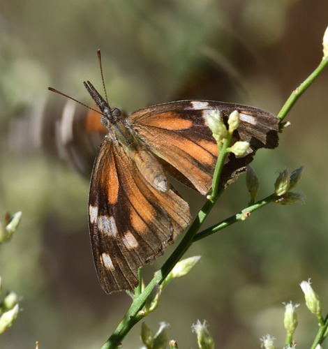
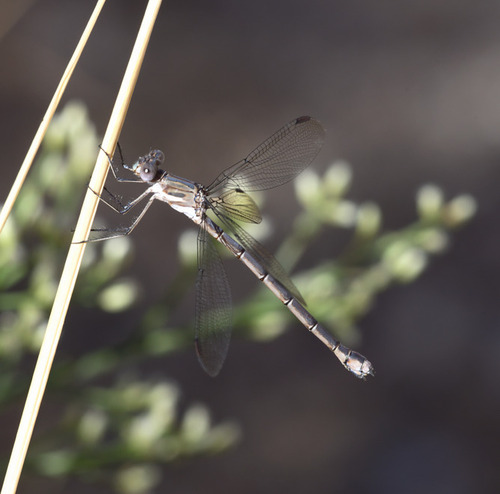
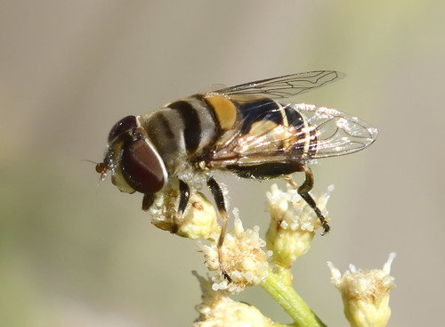
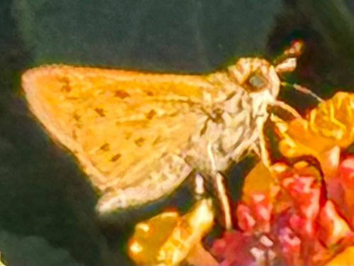
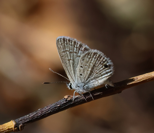
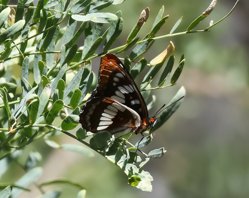
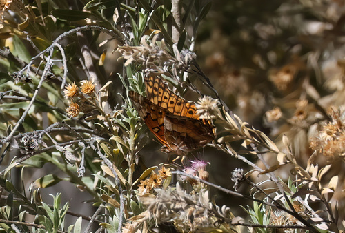
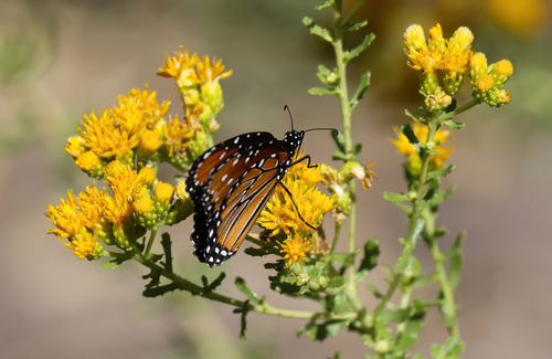
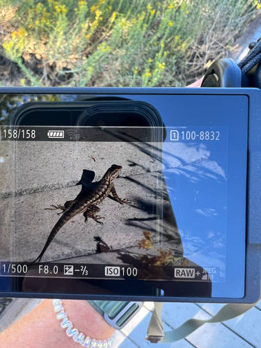
Research-grade observations from iNaturalist (within ~15 mi).
Nearest stream gauge
Events
Gallery
Sources
- • Wikipedia
- • US Census Bureau (ACS 5-year estimates)
- • NOAA National Weather Service
- • Wikidata
- • USGS Earthquake Catalog (global feed)
- • NCES via Urban Institute Education Data Portal
- • GBIF (Global Biodiversity Information Facility)
- • iNaturalist
- • CDC PLACES
- • Open-Meteo / sunrise-sunset.org
- • Wikipedia Pageviews API
- • Open Library
- • NASA EONET