Browse / United States / California / Highgrove
Highgrove
CaliforniaCDP

Highgrove
Total population
8,366
Median home value
$625,800
Bachelor's+
Median income
$114,125
Demographic figures from US Census Bureau · ACS 5-year estimates. Overview below cites Wikipedia and may reference a different year.
- Extreme Heat Warning · SevereExtreme Heat Warning issued October 1 at 1:12PM PDT until October 8 at 8:00PM PDT by NWS San Diego CA
Source: NOAA National Weather Service.
City facts
Facts from Wikidata (CC0).
Overview
Highgrove is a census-designated place (CDP) and an unincorporated community in the Inland Empire region of Riverside County, California, United States. The population was 3,988 at the 2010 census, up from 3,445 at the 2000 census. The latest 2020 census shows 7,515 total population, an 88.4% increase from last 2010 census, which makes it the fastest-growing location in entire Riverside County.
Read more on WikipediaHistory & geography
History
Highgrove was founded in 1886, originally called East Riverside, but in 1897 during a naming contest, it was renamed to Highgrove, after not getting it confused with the city of Riverside. Citrus-farm growers have occupied Highgrove area since beginning of history, with its superior fresh-wind conditions from the west, blowing into east of a cove-shape like terrain, making it one the most valuable places in the Inland Empire for citrus-farming by generations of farmers. Due to the stronger wind conditions that can easily move air out, a landfill dumping ground was opened in 1947 for discarded farm waste. Originally, it operated as a fire-burn dump during the 1950s, until 1960 when there was a concern of heavy-smog in southern California. In 1970, the Highgrove Agricultural Preserve conservation was formed in order to support the growing number of orange trees from farmers. More diverse of citrus fruits were being grown for the packing houses in Riverside. However, farming output could only peaked by the mid-1980s. More competition on fruit prices had increased daily from new farming businesses in the Central California region. Highgrove's another biggest threat was its rising land-value and water cost for the groves by the end of 1980s, due to its close-proximity to downtown Riverside, which made farm crops more unprofitable. By 1990, the preserve contract was not renewed, citing increases of population density, housing shortage, traffic jam, university students commuting to campus, and smog near the city of Riverside. Citrus (mostly orange) trees were gradually phased out and torn down completely by the year 2000. The Highgrove sanitary landfill closed permanently in 1998, after 51 years of operation. Since the 2018 inspection yearly report, no methane output has…
Geography
Highgrove is located at . Highgrove is between the city of Riverside and Grand Terrace. It is located east of Interstate 215, west of Reche Canyon Rd., some portions west of Interstate 215, and north of the University of California, Riverside campus. According to the United States Census Bureau, the CDP has a total area of , all of it land. Elevation is 951 ft. The highest-elevation point in Highgrove with homes built is up to 1,400 ft. at the eastside, on the corner intersection of Country Mile Ln. and Muir Ln.. Weather tends to be slightly cooler up there than at the lower elevation area around the 215-freeway area. It's a popular tourist spot to see the panoramic views of San Bernardino County and the highest peak of Mt. San Antonio on a clear day. Other unofficial highest-point elevation is scattered near Reche Canyon Road. The lowest-elevation point is 848 ft., on the corner intersection of Cannes Ave. and La Ciotat Way, bordering city of Riverside's Northside neighborhood.
Excerpted from the corresponding Wikipedia article (CC BY-SA).
Demographics & economy
Race & ethnicity
Source: US Census Bureau — American Community Survey, 5-year estimates.
Geography
Coordinates & boundaries from the US Census TIGER/Line shapefiles.
Climate
Current forecast
Forecast for Highgrove, CA from NOAA NWS API.
Air quality
Industrial & pollution facilities
Natural hazard risk
Health (adults)
Age-adjusted prevalence estimates from CDC PLACES (latest release).
Walkability
Amenities nearby
Wildlife & biodiversity
Most-observed species
- House FinchHaemorhous mexicanus (P.L.Statius Müller, 1776) · Aves22,512
- Lesser GoldfinchSpinus psaltria (Say, 1822) · Aves16,855
- Black PhoebeSayornis nigricans (Swainson, 1827) · Aves16,746
- California TowheeMelozone crissalis (Vigors, 1839) · Aves16,031
- Mourning DoveZenaida macroura (Linnaeus, 1758) · Aves15,808
- Common RavenCorvus corax Linnaeus, 1758 · Aves15,270
- Anna's HummingbirdCalypte anna (R.Lesson, 1829) · Aves14,656
- Northern MockingbirdMimus polyglottos (Linnaeus, 1758) · Aves14,636
Citizen-science & research observations from the Global Biodiversity Information Facility (GBIF).
Schools
Largest nearby schools
- Martin Luther King Jr. HighHigh · Riverside · 2,901 students · 25.4:1 ratio
- Valley View HighHigh · Moreno Valley · 2,843 students · 22.9:1 ratio
- Polytechnic HighHigh · Riverside · 2,660 students · 25.8:1 ratio
- Patriot HighHigh · Jurupa Valley · 2,532 students · 23.2:1 ratio
- Canyon Springs HighHigh · Moreno Valley · 2,266 students · 22.2:1 ratio
- Moreno Valley HighHigh · Moreno Valley · 2,232 students · 21.1:1 ratio
- Ramona HighHigh · Riverside · 2,220 students · 23.9:1 ratio
- John W. North HighHigh · Riverside · 2,173 students · 23.9:1 ratio
Public K–12 schools within ~10 mi from Urban Institute Education Data Portal (NCES Common Core of Data, 2022).
Earthquake history
Most recent
- M 2.63 — 2026-09-239 km WNW of Anza, CA
- M 2.94 — 2026-09-174 km SSE of Compton, CA
- M 2.65 — 2026-09-124 km E of Lennox, CA
- M 2.62 — 2026-09-125 km WNW of Willowbrook, CA
- M 2.67 — 2026-09-0839 km NE of Big Bear City, CA
- M 3.07 — 2026-09-064 km SSE of Compton, CA
Events from the USGS Earthquake Catalog (global) (FDSN Event Web Service).
Photos
Sights & places nearby
Notable people from here


People born within ~10 km, from Wikidata (CC0). Click any name for their Wikipedia article.
Nearby places in California
- Grand Terrace1.4 mi away
- Loma Linda4.1 mi away · pop. 25,122
- Bloomington6.3 mi away · pop. 25,698
- Muscoy10.2 mi away
- Mentone11.7 mi away · pop. 9,514
- El Sobrante12.9 mi away
- Home Gardens14.7 mi away
- Crestline16.9 mi away
- Nuevo17.4 mi away
- Oak Glen20 mi away
- Banning24 mi away · pop. 31,093
- Oak Hills26.7 mi away
Geography & sun
Elevation, sunrise/sunset and daylight from Open-Meteo. Solar climatology from NASA POWER.
Nearby airports
Public attention
Pageview totals from the Wikimedia Pageviews API.
Books about Highgrove


Search results from Open Library.
Recent natural events nearby
- Wildfire RIDGE, Los Angeles, CaliforniaWildfires · 2026-08-07 · 102 mi
- Wildfire BUZZARD, Kern, CaliforniaWildfires · 2026-08-05 · 111 mi
- Wildfire PLAINS, San Luis Obispo, CaliforniaWildfires · 2026-08-12 · 181 mi
- Prescribed Fire CRAWFORD CORRAL RX, Tulare, CaliforniaWildfires · 2026-09-19 · 202 mi
- Wildfire Campwood, Yavapai, ArizonaWildfires · 2026-08-23 · 244 mi
Wildfires, storms and other events from NASA EONET (last 12 months, within 250 mi).
Ground air-quality sensors
Recently spotted species
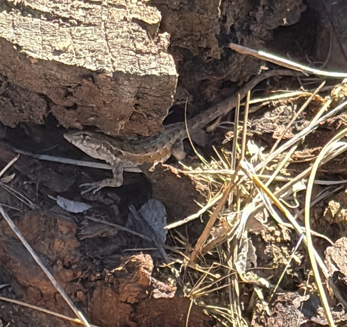
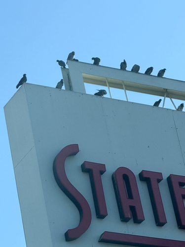
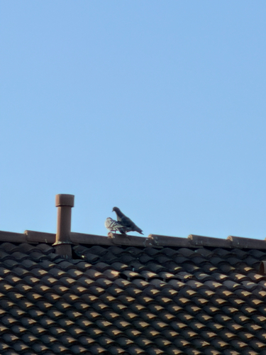
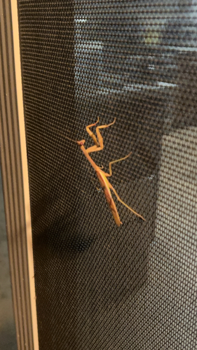
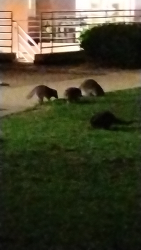
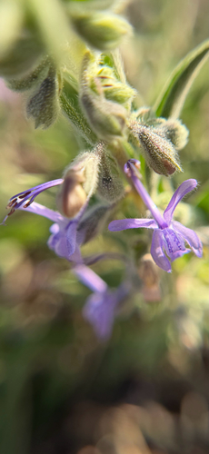
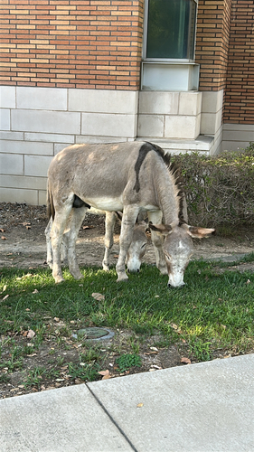
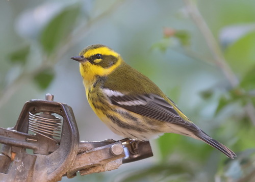
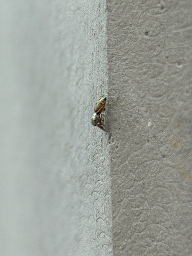
Research-grade observations from iNaturalist (within ~15 mi).
Nearest stream gauge
Live readings from USGS NWIS · measured 2026-10-01 17:15 UTC.
Events
Gallery
Sources
- • Wikipedia
- • US Census Bureau (ACS 5-year estimates)
- • NOAA National Weather Service
- • Wikidata
- • USGS Earthquake Catalog (global feed)
- • USGS NWIS (water data)
- • NCES via Urban Institute Education Data Portal
- • GBIF (Global Biodiversity Information Facility)
- • iNaturalist
- • CDC PLACES
- • Open-Meteo / sunrise-sunset.org
- • Wikipedia Pageviews API
- • Open Library
- • NASA EONET