Browse / United States / California / Ocotillo
Ocotillo
CaliforniaCDP

Ocotillo
Total population
118
Median home value
$157,900
Bachelor's+
Median income
$0
Demographic figures from US Census Bureau · ACS 5-year estimates. Overview below cites Wikipedia and may reference a different year.
- Extreme Heat Watch · SevereExtreme Heat Watch issued October 5 at 11:38AM MST until October 8 at 8:00PM MST by NWS Phoenix AZ
Source: NOAA National Weather Service.
City facts
Facts from Wikidata (CC0).
Overview
Ocotillo is a census-designated place (CDP) in Imperial County, California. Ocotillo is located 26 miles (42 km) west of El Centro. The population was 215 at the 2020 census, down from 266 at the 2010 census and 296 at the 2000 census. It is part of the El Centro, California Metropolitan Statistical Area.
Read more on WikipediaHistory & geography
History
Ocotillo is located on a site that originally sat on the edge of ancient Lake Cahuilla and is the traditional territory of the Kumeyaay. The town originated as a retirement community.
Geography
According to the United States Census Bureau, the CDP has a total area of , all of it land. Ocotillo has a hot-desert climate with long, extremely hot summers, and mild to warm winters. The average yearly temperature is one of the highest out of any inhabited place in California. Days of 100 °F and over are quite common from late spring into early fall. Since winters, although milder, in Octillo average highs of over 70 °F, the town becomes the only inhabited place in California to not have a month averaging a high of less than 70 °F throughout the year Precipitation is very little as Ocotillo sees about less than 3 inches of rain on average per year, making it among the driest places in California and in the United States. The winter months, which tend to be the wettest in California, see roughly a couple inches in Ocotillo. However, late summers may see some occasional monsoonal showers, but they still also come in minimal amounts.
Excerpted from the corresponding Wikipedia article (CC BY-SA).
Demographics & economy
Race & ethnicity
Source: US Census Bureau — American Community Survey, 5-year estimates.
Geography
Coordinates & boundaries from the US Census TIGER/Line shapefiles.
Climate
Current forecast
Forecast for Ocotillo, CA from NOAA NWS API.
Air quality
Industrial & pollution facilities
Natural hazard risk
Health (adults)
Walkability
Amenities nearby
Wildlife & biodiversity
Schools
Earthquake history
Photos
Sights & places nearby
Notable people from here
Nearby places in California
- Potrero36.3 mi away · pop. 417
- Descanso37.4 mi away · pop. 1,590
- Borrego Springs40.1 mi away · pop. 2,700
- Jamul50.5 mi away · pop. 6,574
- Bostonia54.9 mi away · pop. 16,765
- Bonita58.6 mi away · pop. 12,652
- Poway61.6 mi away · pop. 48,713
- Harmony Grove70.4 mi away · pop. 2,585
- Palm Desert71.8 mi away · pop. 51,163
- Rancho Santa Fe72.1 mi away
- Del Mar74.6 mi away · pop. 3,903
- Indio Hills77.2 mi away · pop. 1,117
Geography & sun
Elevation, sunrise/sunset and daylight from Open-Meteo. Solar climatology from NASA POWER.
Nearby airports
Public attention
Pageview totals from the Wikimedia Pageviews API.
Books about Ocotillo


Search results from Open Library.
Recent natural events nearby
- Wildfire Campwood, Yavapai, ArizonaWildfires · 2026-08-23 · 211 mi
- Wildfire RIDGE, Los Angeles, CaliforniaWildfires · 2026-08-07 · 215 mi
- Wildfire BUZZARD, Kern, CaliforniaWildfires · 2026-08-05 · 224 mi
Wildfires, storms and other events from NASA EONET (last 12 months, within 250 mi).
Ground air-quality sensors
Recently spotted species
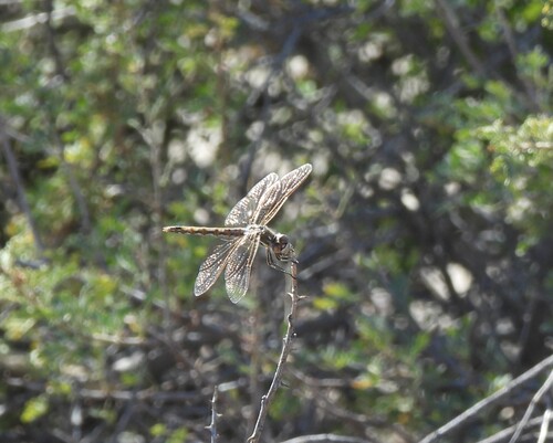
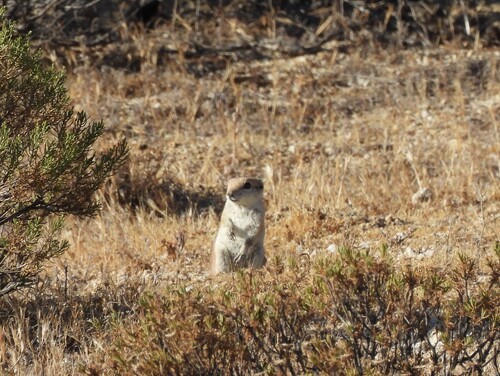
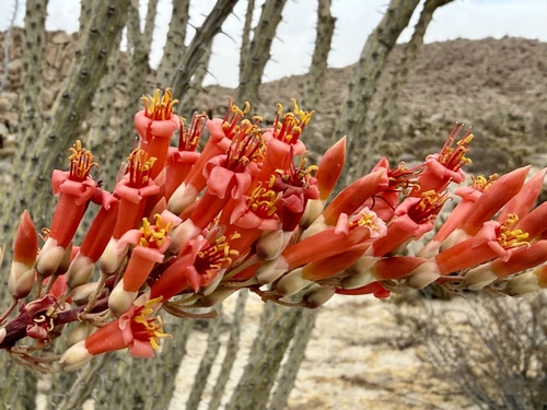
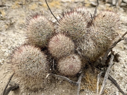
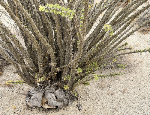
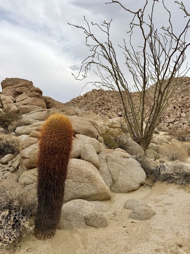
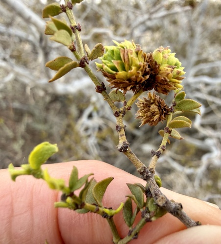
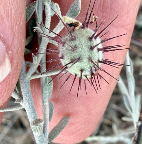
Research-grade observations from iNaturalist (within ~15 mi).
Nearest stream gauge
Events
Gallery
Sources
- • Wikipedia
- • US Census Bureau (ACS 5-year estimates)
- • NOAA National Weather Service
- • Wikidata
- • iNaturalist
- • Open-Elevation
- • Open-Meteo / sunrise-sunset.org
- • Wikipedia Pageviews API
- • Open Library
- • NASA EONET