Browse / United States / California / Poway
Poway
Californiacity

Poway
Total population
48,713
Median home value
$1,034,800
Bachelor's+
Median income
$148,359
Air quality index
Demographic figures from US Census Bureau · ACS 5-year estimates. Overview below cites Wikipedia and may reference a different year.
- High Wind Warning · SevereHigh Wind Warning issued October 15 at 1:39PM PDT until October 17 at 8:00PM PDT by NWS San Diego CA
Source: NOAA National Weather Service.
City facts
Facts from Wikidata (CC0).
Overview
Poway is a city in San Diego County, California, United States. Poway's rural roots influenced its motto "The City in the Country". The city had a population of 48,841 as of the 2020 United States census.
Read more on WikipediaHistory & geography
History
The Kumeyaay people lived in the area for centuries before the Spanish colonization of the region. Artifacts such as arrowheads, spear points, metates, grinding stones, and pottery found along the bed of Poway Creek all indicate an early Kumeyaay presence. Various pictographs adorn many of Poway's boulders, and modern dating techniques suggest these paintings date to the 16th century and earlier. In the late 18th century, Mission San Diego de Alcalá kept cattle in the valley. Documents of Mission San Diego de Alcala record the name of the valley as "Paguay" as early as 1828. The name "Poway" is likely derived from a Kumeyaay term meaning "arrowhead" (pawii) or "watering hole" (paguay). Other sources suggest that "Paguay" means "the meeting of little valleys" or "end of the valley". Some controversy also surrounds the proper spelling; historically it has also been written by the Mexican authorities as Paguai. It has also been written as Paui, Pauai, Pauy, and Powaii. For approximately a century, Poway served as a stock range for the mission and local ranchos. In September 1839, Corporal Rosario Aguilar was granted Rancho Paguai a ranch in the valley and it was confirmed on May 22, 1840, but he refused it, becoming juez de paz in 1841 and moving instead to San Juan Capistrano. American settlers began to come to the valley for farming purposes in the late antebellum period. Few records of this time have survived, and not until 1894 and the inception of the Poway Progress was the town's history regularly recorded. In 1887, about 800 people lived and farmed in Poway. Around the start of the 20th century, Poway farmers had moderate success in the production and vending of fruit, grain, and dairy products. The expansion, however, failed to follow agricultural success.…
Geography
Poway is east of the city of San Diego and south of the city of Escondido. Nearby communities include Rancho Bernardo, Sabre Springs, Scripps Ranch, Rancho Peñasquitos, and Ramona to the east. According to the United States Census Bureau, the city covers an area of , 99.78% of it land, and 0.22% of it water. The confluence of the 33rd parallel north and 117th meridian west is located on a hillside in a private property. Poway has a borderline semi-arid climate (Köppen: Bsh) and hot-summer Mediterranean climate (Köppen: Csa) with hot summers and cool, wet winters.
Excerpted from the corresponding Wikipedia article (CC BY-SA).
Demographics & economy
Race & ethnicity
Source: US Census Bureau — American Community Survey, 5-year estimates.
Geography
Coordinates & boundaries from the US Census TIGER/Line shapefiles.
Climate
10-year averages from ERA5 reanalysis (Open-Meteo).
Current forecast
Forecast for Poway, CA from NOAA NWS API.
Air quality
Current readings from Open-Meteo Air Quality API (Copernicus CAMS European reanalysis).
Industrial & pollution facilities
Natural hazard risk
Health (adults)
Age-adjusted prevalence estimates from CDC PLACES (latest release).
Walkability
Amenities nearby
Wildlife & biodiversity
Most-observed species
- House FinchHaemorhous mexicanus (P.L.Statius Müller, 1776) · Aves43,196
- American CrowCorvus brachyrhynchos C.L.Brehm, 1822 · Aves36,984
- Anna's HummingbirdCalypte anna (R.Lesson, 1829) · Aves36,972
- Black PhoebeSayornis nigricans (Swainson, 1827) · Aves36,450
- Mourning DoveZenaida macroura (Linnaeus, 1758) · Aves35,184
- Song SparrowMelospiza melodia (A.Wilson, 1810) · Aves33,404
- Lesser GoldfinchSpinus psaltria (Say, 1822) · Aves33,292
- California TowheeMelozone crissalis (Vigors, 1839) · Aves32,672
Citizen-science & research observations from the Global Biodiversity Information Facility (GBIF).
Schools
Largest nearby schools
- Pacific Coast AcademyOther · Poway · 4,891 students · 32.6:1 ratio
- Cabrillo Point AcademyOther · Poway · 4,283 students · 29.5:1 ratio
- Del Norte HighHigh · San Diego · 2,531 students · 26.6:1 ratio
- Canyon Crest AcademyHigh · San Diego · 2,336 students · 27.5:1 ratio
- Rancho Bernardo HighHigh · San Diego · 2,318 students · 26:1 ratio
- Westview HighHigh · San Diego · 2,257 students · 25.1:1 ratio
- Poway HighHigh · Poway · 2,233 students · 24.5:1 ratio
- Mira Mesa HighHigh · San Diego · 2,219 students · 25.2:1 ratio
Public K–12 schools within ~10 mi from Urban Institute Education Data Portal (NCES Common Core of Data, 2022).
Earthquake history
Most recent
- M 2.77 — 2026-10-153 km NNW of San Jacinto, CA
- M 2.71 — 2026-10-114 km E of San Jacinto, CA
- M 2.51 — 2026-10-0531 km SW of Dana Point, CA
- M 2.81 — 2026-10-0532 km SW of Dana Point, CA
- M 3.48 — 2026-10-0531 km SW of Dana Point, CA
- M 3.08 — 2026-10-0120 km ESE of Anza, CA
Events from the USGS Earthquake Catalog (global) (FDSN Event Web Service).
Photos
Sights & places nearby
Notable people from here


People born within ~10 km, from Wikidata (CC0). Click any name for their Wikipedia article.
Nearby places in California
- Harmony Grove10.3 mi away · pop. 2,585
- Rancho Santa Fe10.6 mi away · pop. 2,260
- Bostonia12.5 mi away · pop. 16,765
- Del Mar13.9 mi away · pop. 3,903
- Jamul20.6 mi away · pop. 6,574
- Bonita21.7 mi away · pop. 12,652
- Descanso24.3 mi away · pop. 1,590
- Fallbrook29.1 mi away · pop. 32,112
- Rainbow30 mi away · pop. 2,029
- Potrero35.4 mi away · pop. 417
- Borrego Springs42.3 mi away · pop. 2,700
- Dana Point51.4 mi away · pop. 32,790
Geography & sun
Elevation, sunrise/sunset and daylight from Open-Meteo. Solar climatology from NASA POWER.
Nearby airports
Public attention
Pageview totals from the Wikimedia Pageviews API.
Books about Poway


Search results from Open Library.
Recent natural events nearby
- Wildfire RIDGE, Los Angeles, CaliforniaWildfires · 2026-08-07 · 162 mi
- Wildfire BUZZARD, Kern, CaliforniaWildfires · 2026-08-05 · 171 mi
- Wildfire PLAINS, San Luis Obispo, CaliforniaWildfires · 2026-08-12 · 239 mi
Wildfires, storms and other events from NASA EONET (last 12 months, within 250 mi).
Ground air-quality sensors
Recently spotted species
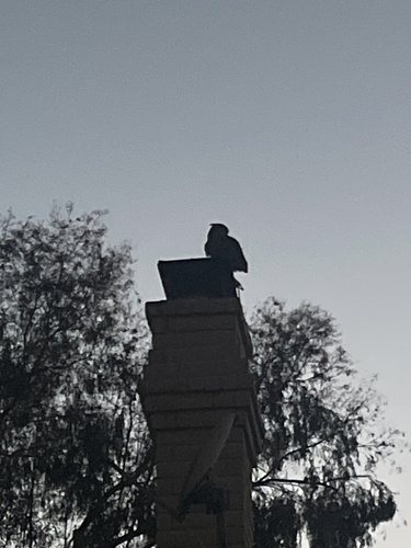
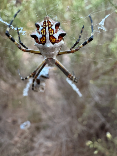
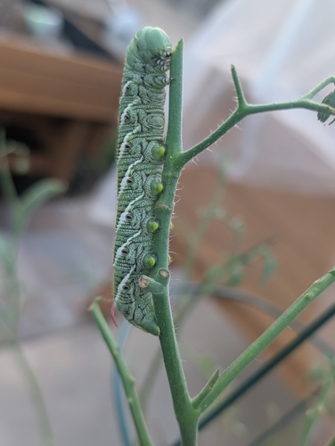
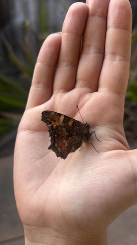
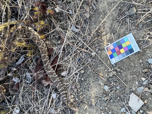
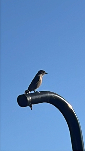
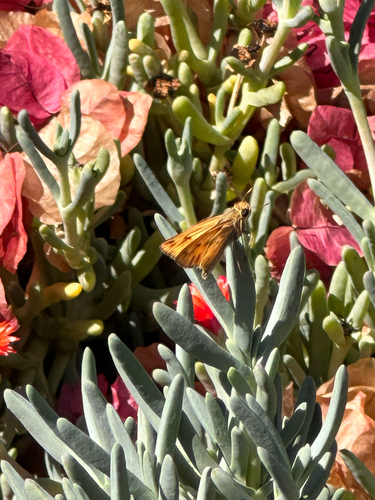
Research-grade observations from iNaturalist (within ~15 mi).
Nearest stream gauge
Events
Gallery
Sources
- • Wikipedia
- • US Census Bureau (ACS 5-year estimates)
- • Open-Meteo (ERA5 reanalysis)
- • NOAA National Weather Service
- • Wikidata
- • Open-Meteo Air Quality (CAMS)
- • USGS Earthquake Catalog (global feed)
- • NCES via Urban Institute Education Data Portal
- • GBIF (Global Biodiversity Information Facility)
- • iNaturalist
- • CDC PLACES
- • Open-Meteo / sunrise-sunset.org
- • Wikipedia Pageviews API
- • Open Library
- • NASA EONET