Browse / United States / California / Dana Point
Dana Point
Californiacity

Dana Point
Total population
32,790
Median home value
$1,320,300
Bachelor's+
Median income
$141,520
Founded
1989
Air quality index
Demographic figures from US Census Bureau · ACS 5-year estimates. Overview below cites Wikipedia and may reference a different year.
City facts
Sister cities
Facts from Wikidata (CC0).
Overview
Dana Point is a coastal city located in southern Orange County, California, United States. The population was 33,107 at the 2020 census. With one of the few harbors along the Orange County coast and with ready access via State Route 1, it is a popular local destination for surfing.
Read more on WikipediaHistory & geography
Geography
According to the United States Census Bureau, the city has a total area of . of it is land and of it (3.91%) is water. are currently being developed as a 118-house gated community, however of the site is open to the public and features a nature center and walking trails exhibiting "lost" plants of the Southern California coast. Views on a clear day extend to Catalina Island and La Jolla in San Diego County. The city is located 59 miles southeast of Los Angeles, and 65 miles northwest of San Diego. Dana Point is bordered by San Clemente to the southeast, San Juan Capistrano to the northeast, Laguna Beach to the northwest, and Laguna Niguel to the north. Dana Point enjoys a mild climate with temperatures that tend to average around the 70s. The warmest month of the year is August with an average maximum temperature of . The coldest month is December with an average maximum temperature of . Frost is extremely rare, allowing for a year-round growing season. Annual rainfall (with almost all of it falling between November and March) is about but is highly variable from year to year.
Excerpted from the corresponding Wikipedia article (CC BY-SA).
Demographics & economy
Race & ethnicity
Source: US Census Bureau — American Community Survey, 5-year estimates.
Geography
Coordinates & boundaries from the US Census TIGER/Line shapefiles.
Climate
Current forecast
Forecast for Dana Point, CA from NOAA NWS API.
Air quality
Current readings from Open-Meteo Air Quality API (Copernicus CAMS European reanalysis).
Industrial & pollution facilities
Natural hazard risk
Health (adults)
Walkability
Amenities nearby
Wildlife & biodiversity
Most-observed species
- American CrowCorvus brachyrhynchos C.L.Brehm, 1822 · Aves35,643
- House FinchHaemorhous mexicanus (P.L.Statius Müller, 1776) · Aves30,307
- Black PhoebeSayornis nigricans (Swainson, 1827) · Aves25,361
- Song SparrowMelospiza melodia (A.Wilson, 1810) · Aves21,325
- Lesser GoldfinchSpinus psaltria (Say, 1822) · Aves20,453
- Allen's HummingbirdSelasphorus sasin (R.Lesson, 1829) · Aves20,448
- California TowheeMelozone crissalis (Vigors, 1839) · Aves18,893
- Mourning DoveZenaida macroura (Linnaeus, 1758) · Aves18,315
Citizen-science & research observations from the Global Biodiversity Information Facility (GBIF).
Schools
Earthquake history
Most recent
- M 2.94 — 2026-09-174 km SSE of Compton, CA
- M 2.65 — 2026-09-124 km E of Lennox, CA
- M 3.31 — 2026-09-1226 km ESE of Avalon, CA
- M 2.95 — 2026-09-1226 km ESE of Avalon, CA
- M 2.54 — 2026-09-1226 km ESE of Avalon, CA
- M 2.62 — 2026-09-125 km WNW of Willowbrook, CA
Events from the USGS Earthquake Catalog (global) (FDSN Event Web Service).
Photos
Sights & places nearby
Notable people from here


People born within ~10 km, from Wikidata (CC0). Click any name for their Wikipedia article.
Nearby places in California
- Las Flores8.5 mi away · pop. 5,513
- Laguna Woods9.7 mi away · pop. 17,289
- Modjeska16.6 mi away · pop. 714
- North Tustin20.7 mi away
- Fallbrook28.1 mi away · pop. 32,112
- Home Gardens29.7 mi away
- El Sobrante30.5 mi away
- Los Alamitos30.7 mi away · pop. 11,794
- Cypress30.9 mi away · pop. 49,498
- Rainbow32.2 mi away
- Hawaiian Gardens32.9 mi away · pop. 13,691
- Cerritos34.7 mi away · pop. 47,867
Geography & sun
Elevation, sunrise/sunset and daylight from Open-Meteo. Solar climatology from NASA POWER.
Nearby airports
Public attention
Pageview totals from the Wikimedia Pageviews API.
Books about Dana Point


Search results from Open Library.
Recent natural events nearby
- Wildfire RIDGE, Los Angeles, CaliforniaWildfires · 2026-08-07 · 112 mi
- Wildfire BUZZARD, Kern, CaliforniaWildfires · 2026-08-05 · 121 mi
- Wildfire PLAINS, San Luis Obispo, CaliforniaWildfires · 2026-08-12 · 188 mi
- Prescribed Fire CRAWFORD CORRAL RX, Tulare, CaliforniaWildfires · 2026-09-19 · 228 mi
Wildfires, storms and other events from NASA EONET (last 12 months, within 250 mi).
Ground air-quality sensors
Recently spotted species
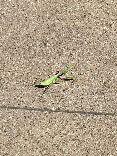
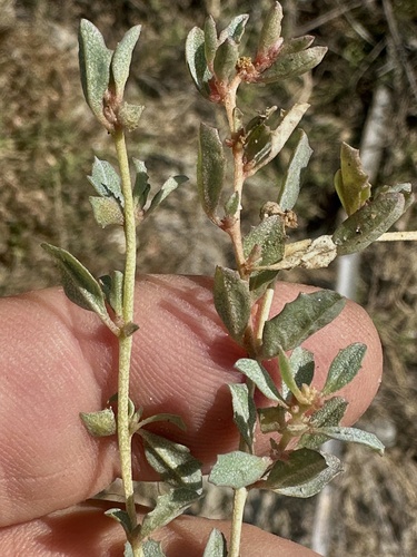
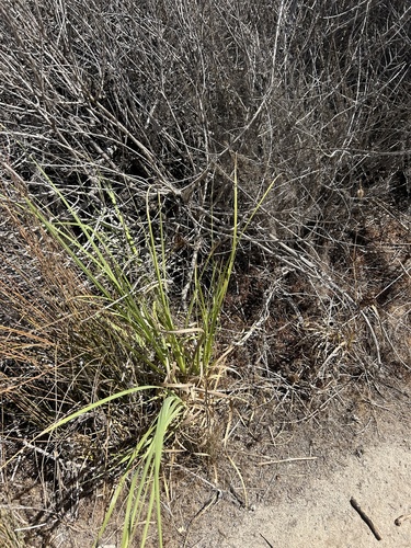
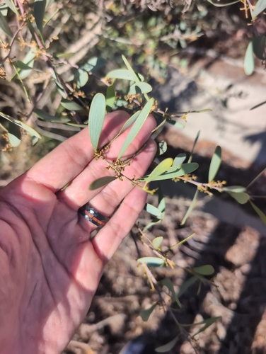
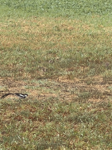
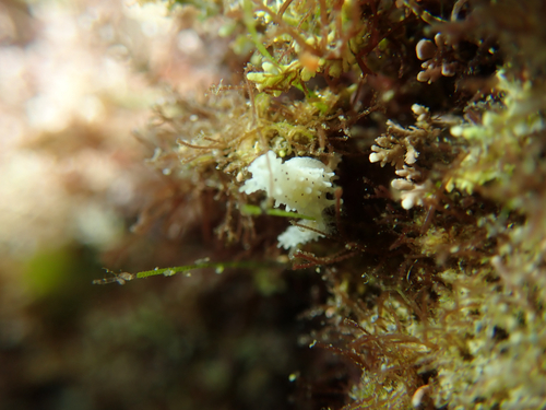

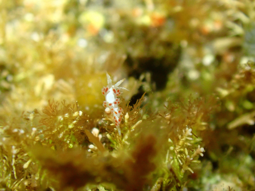
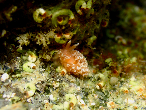
Research-grade observations from iNaturalist (within ~15 mi).
Nearest stream gauge
Events
Gallery
Sources
- • Wikipedia
- • US Census Bureau (ACS 5-year estimates)
- • NOAA National Weather Service
- • Wikidata
- • Open-Meteo Air Quality (CAMS)
- • USGS Earthquake Catalog (global feed)
- • GBIF (Global Biodiversity Information Facility)
- • iNaturalist
- • Open-Meteo / sunrise-sunset.org
- • Wikipedia Pageviews API
- • Open Library
- • NASA EONET