Browse / United States / California / Mount Laguna
Mount Laguna
CaliforniaCDP

Mount Laguna
Total population
93
Median home value
$0
Bachelor's+
Median income
$55,066
Air quality index
Demographic figures from US Census Bureau · ACS 5-year estimates. Overview below cites Wikipedia and may reference a different year.
City facts
Facts from Wikidata (CC0).
Overview
Mount Laguna is a small census-designated place (CDP) in San Diego County, California. It is approximately 6,000 feet (1,800 m) above sea level in a forest of Jeffrey pine, east of San Diego in the Laguna Mountains on the eastern edge of the Cleveland National Forest. The hamlet sits at the high point of a scenic drive on Sunrise Highway from Interstate 8 to Highway 79. The Mount Laguna Air Force Station was located on Mount Laguna.
Read more on WikipediaHistory & geography
Geography
According to the United States Census Bureau, the CDP covers an area of , all of it is land.
Excerpted from the corresponding Wikipedia article (CC BY-SA).
Demographics & economy
Race & ethnicity
Source: US Census Bureau — American Community Survey, 5-year estimates.
Geography
Coordinates & boundaries from the US Census TIGER/Line shapefiles.
Climate
Air quality
Current readings from Open-Meteo Air Quality API (Copernicus CAMS European reanalysis).
Industrial & pollution facilities
Natural hazard risk
Health (adults)
Age-adjusted prevalence estimates from CDC PLACES (latest release).
Walkability
Amenities nearby
Wildlife & biodiversity
Most-observed species
- Acorn WoodpeckerMelanerpes formicivorus (Swainson, 1827) · Aves7,951
- Common RavenCorvus corax Linnaeus, 1758 · Aves6,580
- California/Woodhouse's Scrub-JayAphelocoma californica (Vigors, 1839) · Aves5,932
- Mountain ChickadeePoecile gambeli (Ridgway, 1886) · Aves5,424
- Western BluebirdSialia mexicana Swainson, 1832 · Aves5,146
- White-breasted NuthatchSitta carolinensis Latham, 1790 · Aves4,920
- Dark-eyed JuncoJunco hyemalis (Linnaeus, 1758) · Aves4,877
- Spotted TowheePipilo maculatus Swainson, 1827 · Aves4,653
Citizen-science & research observations from the Global Biodiversity Information Facility (GBIF).
Schools
Largest nearby schools
- Pine Valley MiddleMiddle · Pine Valley · 154 students · 25.7:1 ratio
- JCS - Pine ValleyOther · Pine Valley · 143 students · 15.9:1 ratio
Public K–12 schools within ~10 mi from Urban Institute Education Data Portal (NCES Common Core of Data, 2022).
Earthquake history
Most recent
- M 3.08 — 2026-10-0120 km ESE of Anza, CA
- M 2.63 — 2026-09-239 km WNW of Anza, CA
- M 2.91 — 2026-08-3122 km SSW of La Quinta, CA
- M 3.06 — 2026-08-2512 km WSW of Salton City, CA
- M 3.64 — 2026-08-1914 km N of Warner Springs, CA
- M 2.63 — 2026-08-1328 km SSW of Ocotillo Wells, CA
Events from the USGS Earthquake Catalog (global) (FDSN Event Web Service).
Photos
Sights & places nearby
Notable people from here
Nearby places in California
- Pine Valley5.4 mi away
- Descanso11.8 mi away · pop. 1,590
- Potrero20.7 mi away
- Jacumba21.2 mi away
- Borrego Springs25.9 mi away · pop. 2,700
- Ocotillo26.1 mi away
- Jamul28 mi away · pop. 6,574
- Bostonia30.3 mi away · pop. 16,765
- Poway35.6 mi away · pop. 48,713
- Bonita36.4 mi away · pop. 12,652
- Harmony Grove44.3 mi away · pop. 2,585
- Rancho Santa Fe46.1 mi away
Geography & sun
Nearby airports
Public attention
Books about this place
Recent natural events nearby
- Wildfire RIDGE, Los Angeles, CaliforniaWildfires · 2026-08-07 · 191 mi
- Wildfire BUZZARD, Kern, CaliforniaWildfires · 2026-08-05 · 200 mi
- Wildfire Campwood, Yavapai, ArizonaWildfires · 2026-08-23 · 226 mi
Wildfires, storms and other events from NASA EONET (last 12 months, within 250 mi).
Ground air-quality sensors
Recently spotted species
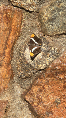
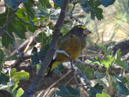
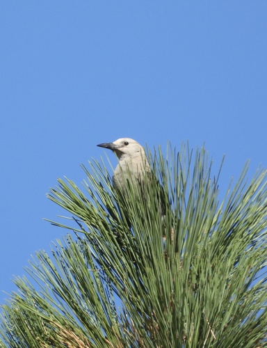
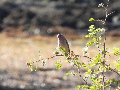
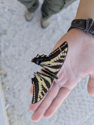
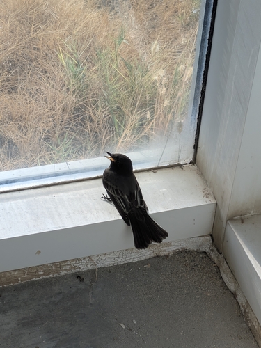
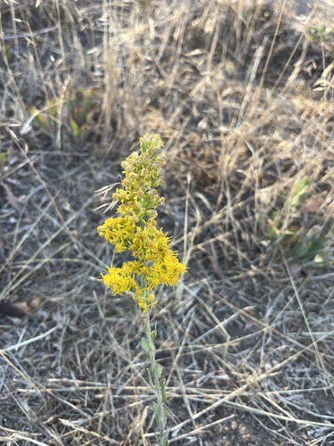
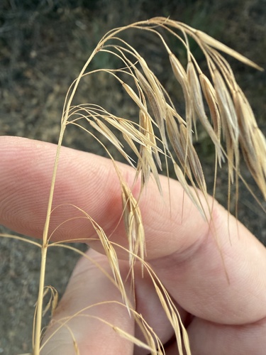
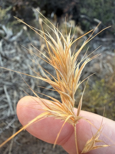
Research-grade observations from iNaturalist (within ~15 mi).
Nearest stream gauge
Events
Gallery
Sources
- • Wikipedia
- • US Census Bureau (ACS 5-year estimates)
- • Wikidata
- • Open-Meteo Air Quality (CAMS)
- • USGS Earthquake Catalog (global feed)
- • NCES via Urban Institute Education Data Portal
- • GBIF (Global Biodiversity Information Facility)
- • iNaturalist
- • CDC PLACES
- • NASA EONET