Browse / Canada / Quebec / Uashat
Uashat
Quebecvillage
No image yet
Total population
1,450
Land area215 km²
Coordinates50.23°, -66.40°
Demographic figures from Statistics Canada. Overview below cites Wikipedia and may reference a different year.
Loading additional data from public sources…0 / 11
CensusWikipediaWeatherPlacesPeopleEnvironmentHealth & SchoolsRelatedGeography & CultureLive MonitoringEvents & Gallery
0% completeCity facts
Area
215 km²
Official website
www.itum.qc.caFacts from Wikidata (CC0).
Overview
Uashat is an Indian reserve in Quebec, located adjacent to the city of Sept-Îles. Together with Maliotenam some distance away, it forms the Innu community of Uashat-Maliotenam.
Read more on WikipediaHistory & geography
Geography
Latitude
50.2252
Longitude
-66.4008
Water area
—
Coordinates & boundaries from the US Census TIGER/Line shapefiles.
Climate
Air quality
Walkability
Amenities nearby
Wildlife & biodiversity
Earthquake history
Photos
Sights & places nearby
Notable people from here
Nearby places in Quebec
- Clarke City10.5 mi away
- Gallix11.3 mi away
- Rivière-Pentecôte45.6 mi away
- Rivière-au-Tonnerre71.9 mi away
- Madeleine-Centre82.1 mi away
- Les Méchins88.7 mi away
- Rivière-Saint-Jean91.5 mi away
- Petite-Vallée92.5 mi away
- Port-Menier95.2 mi away
- Grosses-Roches95.4 mi away
- Petit-Matane104.9 mi away
- Ekuanitshit - Mingan105.1 mi away · pop. 409
Geography & sun
Avg solar (kWh/m²/day)
3.16
Annual solar (kWh/m²)
1,152
Elevation, sunrise/sunset and daylight from Open-Meteo. Solar climatology from NASA POWER.
Nearby airports
Public attention
Wikipedia views (last 30 days)
268
Avg daily Wikipedia views
9
Attention level
Obscure
Pageview totals from the Wikimedia Pageviews API.
Books about this place
Recent natural events nearby
Ground air-quality sensors
Recently spotted species
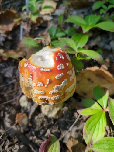
Fly Agaric
Amanita muscaria
Seen 2026-09-23
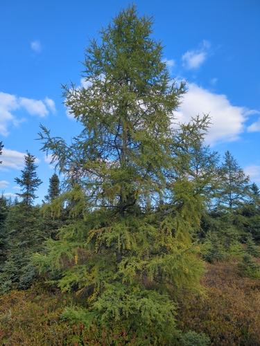
tamarack
Larix laricina
Seen 2026-09-22
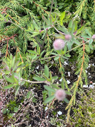
rabbitfoot clover
Trifolium arvense
Seen 2026-09-22
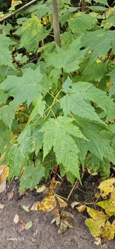
Mountain Maple
Acer spicatum
Seen 2026-09-21
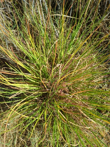
common arrowgrass
Triglochin maritima
Seen 2026-09-18
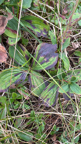
Canadian bunchberry
Cornus canadensis
Seen 2026-09-14
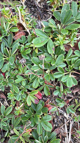
three-toothed cinquefoil
Sibbaldiopsis tridentata
Seen 2026-09-14
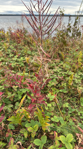
fireweed
Chamaenerion angustifolium
Seen 2026-09-14
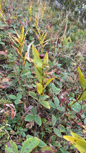
star-flowered lily-of-the-valley
Maianthemum stellatum
Seen 2026-09-14
Research-grade observations from iNaturalist (within ~15 mi).
Events
Gallery
Official Identifiers
StatCan — Statistics Canada
- SGC code
- 2497802
- Population (Wikidata)
- 1,577
- Wikidata
- Q3547598
Standard Geographical Classification (SGC) via Wikidata P3012
Sources
- • Wikipedia
- • Wikidata
- • iNaturalist
- • Open-Meteo / sunrise-sunset.org
- • Wikipedia Pageviews API
- • StatCan — Statistics Canada — Standard Geographical Classification (SGC) via Wikidata P3012