Browse / Canada / British Columbia / Vancouver
Vancouver
British Columbiacity

Vancouver
Total population
662,248
Founded
1886
Air quality index
Demographic figures from Statistics Canada. Overview below cites Wikipedia and may reference a different year.
City facts
Sister cities
Facts from Wikidata (CC0).
Overview
Vancouver is a major city in Western Canada, located in the Lower Mainland region of British Columbia. As the most populous city in the province, the 2021 Canadian census recorded 662,248 people in the city, up from 631,486 in 2016. The Greater Vancouver area had a population of 2.6 million in 2021, making it the third-largest metropolitan area in Canada after Toronto and Montreal. The region, together with the Fraser Valley, makes up the Lower Mainland, which has a total population of over 3 million. Vancouver has the highest population density in Canada, with over 5,700 inhabitants per square kilometre (15,000/sq mi), and the fourth highest in North America.
Read more on WikipediaHistory & geography
History
Archaeological records indicate that Aboriginal people were already living in the Vancouver area from 8,000 to 10,000 years ago. The Squamish, Musqueam, and Tsleil-Waututh (Burrard) peoples of the Coast Salish group had villages in various parts of present-day Vancouver, such as Stanley Park, False Creek, Kitsilano, Point Grey and near the mouth of the Fraser River. The explorer and North West Company trader Simon Fraser and his crew became the first-known Europeans to set foot on the site of the present-day city. In 1808, they travelled from the east down the Fraser River, perhaps as far as Point Grey. The Fraser Gold Rush of 1858 brought over 25,000 men, mainly from California, to nearby New Westminster (founded February 14, 1859) on the Fraser River, on their way to the Fraser Canyon, bypassing what would become Vancouver. Vancouver is among British Columbia's youngest cities; the first European settlement in what is now Vancouver was not until 1862 at McCleery's Farm on the Fraser River, just east of the ancient village of Musqueam in what is now Marpole. A sawmill was established at Moodyville (now the City of North Vancouver) in 1863, beginning the city's long relationship with logging. It was quickly followed by mills owned by Captain Edward Stamp on the south shore of the inlet. Stamp, who had begun logging in the Port Alberni area, first attempted to run a mill at Brockton Point, but difficult currents and reefs forced the relocation of the operation in 1867 to a point near the foot of Dunlevy Street. This mill, known as the Hastings Mill, became the nucleus around which Vancouver formed. The mill's central role in the city waned after the arrival of the Canadian Pacific Railway (CPR) in the 1880s. It nevertheless remained important to the local economy…
Geography
Located on the Burrard Peninsula, Vancouver lies between Burrard Inlet to the north and the Fraser River to the south. The Strait of Georgia, to the west, is shielded from the Pacific Ocean by Vancouver Island. The city has an area of , including both flat and hilly ground; it is within the Pacific Maritime Ecozone. Until the city's naming in 1885, "Vancouver" referred to Vancouver Island, and it remains a common misconception that the city is located on the island. The island and the city are both named after Royal Navy Captain George Vancouver (as is the city of Vancouver, Washington, in the United States). Vancouver has one of the largest urban parks in North America, Stanley Park, which covers . The North Shore Mountains dominate the cityscape, and on a clear day, scenic vistas include the snow-capped volcano Mount Baker in the state of Washington to the southeast, Vancouver Island across the Strait of Georgia to the west and southwest, and Bowen Island to the northwest. The vegetation in the Vancouver area was originally temperate rainforest, consisting of conifers with scattered pockets of maple and alder and large areas of swampland (even in upland areas, due to poor drainage). The conifers were a typical coastal British Columbia mix of Douglas fir, western red cedar and western hemlock. The area is thought to have had the largest trees of these species on the British Columbia Coast. Only in Elliott Bay, Seattle, did the size of trees rival those of Burrard Inlet and English Bay. The largest trees in Vancouver's old-growth forest were in the Gastown area, where the first logging occurred and on the southern slopes of False Creek and English Bay, especially around Jericho Beach. The forest in Stanley Park was logged between the 1860s and 1880s, and evidence of…
Excerpted from the corresponding Wikipedia article (CC BY-SA).
Geography
Coordinates & boundaries from the US Census TIGER/Line shapefiles.
Climate
10-year averages from ERA5 reanalysis (Open-Meteo).
Air quality
Current readings from Open-Meteo Air Quality API (Copernicus CAMS European reanalysis).
Walkability
Amenities nearby
Wildlife & biodiversity
Most-observed species
- American CrowCorvus brachyrhynchos C.L.Brehm, 1822 · Aves99,540
- Black-capped ChickadeePoecile atricapillus (Linnaeus, 1766) · Aves85,737
- Song SparrowMelospiza melodia (A.Wilson, 1810) · Aves80,766
- Glaucous-winged GullLarus glaucescens J.F.Naumann, 1840 · Aves65,336
- Spotted TowheePipilo maculatus Swainson, 1827 · Aves65,129
- American RobinTurdus migratorius Linnaeus, 1766 · Aves62,300
- Anna's HummingbirdCalypte anna (R.Lesson, 1829) · Aves59,078
- MallardAnas platyrhynchos Linnaeus, 1758 · Aves57,335
Citizen-science & research observations from the Global Biodiversity Information Facility (GBIF).
Earthquake history
Most recent
- M 2.56 — 2026-05-297 km ENE of Ferndale, Washington
- M 2.7 — 2026-04-275 km N of Anacortes, Washington
- M 2.7 — 2026-01-2612 km WSW of Anacortes, Washington
- M 2.7 — 2025-10-2110 km SE of Salt Spring Island, Canada
- M 2.6 — 2025-09-1814 km SW of Cowichan Bay, Canada
- M 2.8 — 2025-04-0520 km ENE of South Pender Harbour, Canada
Events from the USGS Earthquake Catalog (global) (FDSN Event Web Service).
Photos
Sights & places nearby
Notable people from here


People born within ~10 km, from Wikidata (CC0). Click any name for their Wikipedia article.
Nearby places in British Columbia
- North Vancouver4.5 mi away
- Ioco11.5 mi away
- 10 Acre Estates17.5 mi away
- Sea Ranch18.3 mi away
- Plumper Cove18.8 mi away
- Langley Township22.7 mi away · pop. 132,603
- Britannia Beach25.6 mi away
- Gabriola33.6 mi away · pop. 4,045
- Máthxwi / Matsqui36.4 mi away
- Abbotsford38.3 mi away · pop. 153,524
- Qw’umiyiqun / Comiaken41.4 mi away
- Kwa’mutsun / Quamichan41.8 mi away
Geography & sun
Elevation, sunrise/sunset and daylight from Open-Meteo. Solar climatology from NASA POWER.
Nearby airports
Public attention
Pageview totals from the Wikimedia Pageviews API.
Books about Vancouver
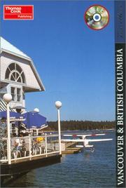
Search results from Open Library.
Recent natural events nearby
- Wildfire Electric, Whatcom, WashingtonWildfires · 2026-08-22 · 87 mi
- Wildfire Thunder Creek, Skagit, WashingtonWildfires · 2026-08-22 · 107 mi
- Wildfire SISI, Chelan, WashingtonWildfires · 2026-08-14 · 122 mi
- Wildfire KING, Kittitas, WashingtonWildfires · 2026-08-19 · 150 mi
- Wildfire GOAT, Kittitas, WashingtonWildfires · 2026-08-22 · 156 mi
- Wildfire MITRE ROCK, Stevens, WashingtonWildfires · 2026-08-01 · 238 mi
Wildfires, storms and other events from NASA EONET (last 12 months, within 250 mi).
Ground air-quality sensors
Recently spotted species
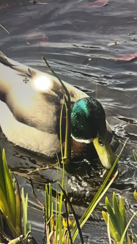

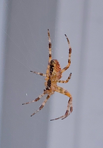
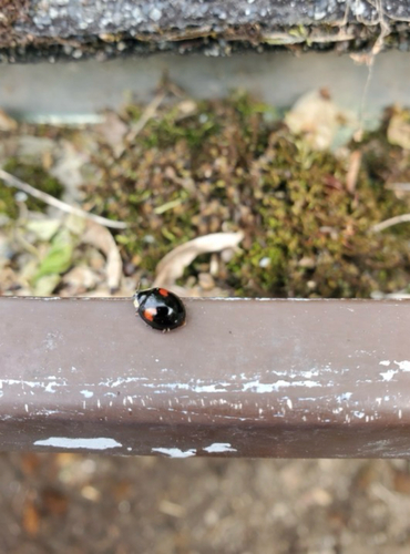
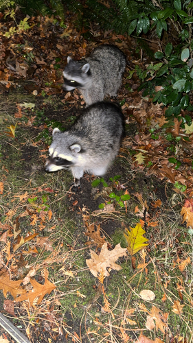
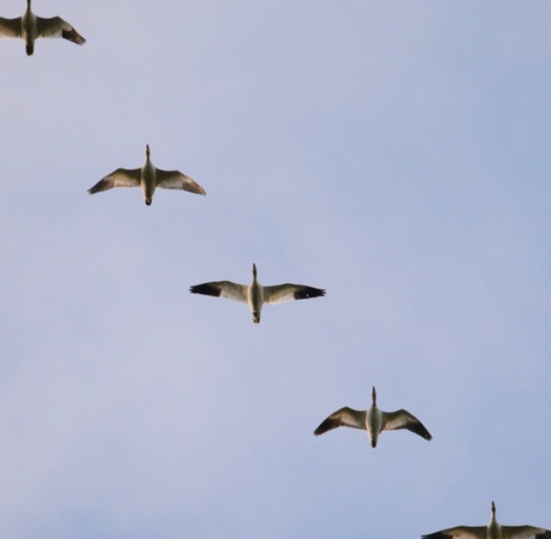
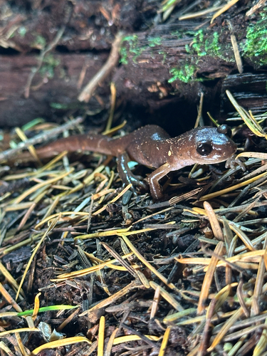
Research-grade observations from iNaturalist (within ~15 mi).
Events
Notable, recurring, and historical events associated with Vancouver, sourced from Wikidata.
- Jan 1, 2025
- Jan 1, 2023
- 176th National Puzzlers' League conventionJul 9, 2015recurring event edition
- Jan 1, 2014
- Jan 1, 2013
- Jan 1, 2012
- 163rd National Puzzlers' League conventionJul 11, 2002recurring event edition
- Jul 2, 1991
- Jul 1, 1977
- Aug 28, 1971
- Vancouver International Children's Festivalfestival
Professional performing arts festival for young audiences, the annual Vancouver International Children’s Festival presents music, theatre, dance, puppetry, acrobatics and storytelling.
Source: Wikidata (CC0).
Gallery
Geotagged photos within ~6 miles of Vancouver, from Wikimedia Commons contributors.

.jpg)

.jpg)
.jpg)
.jpg)
.jpg)
.jpg)
.jpg)

.jpg)


.jpg)
.jpg)
.jpeg)
.jpeg)
.jpg)
.jpg)
.jpg)
.jpg)
Photos via Wikimedia Commons — see each image page for license & attribution.
Official Identifiers
StatCan — Statistics Canada
- SGC code
- 5915022
- Population (Wikidata)
- 662,248
- Wikidata
- Q24639
Standard Geographical Classification (SGC) via Wikidata P3012
Sources
- • Wikipedia
- • Open-Meteo (ERA5 reanalysis)
- • Wikimedia Commons
- • Wikidata
- • Open-Meteo Air Quality (CAMS)
- • USGS Earthquake Catalog (global feed)
- • GBIF (Global Biodiversity Information Facility)
- • iNaturalist
- • Open-Elevation
- • Open-Meteo / sunrise-sunset.org
- • Wikipedia Pageviews API
- • Open Library
- • NASA EONET
- • StatCan — Statistics Canada — Standard Geographical Classification (SGC) via Wikidata P3012