Browse / Canada / British Columbia / View Royal
View Royal
British Columbiatown

View Royal
Total population
10,408
Founded
1988
Demographic figures from Statistics Canada. Overview below cites Wikipedia and may reference a different year.
City facts
Facts from Wikidata (CC0).
Overview
View Royal is a town in Greater Victoria and a member municipality of the Capital Regional District of British Columbia, Canada. View Royal has a population of 11,575 residents. With over 700 hectares of parkland, View Royal includes Thetis, McKenzie, Pike, and Prior Lakes and portions of Esquimalt Harbour and Portage Inlet.
Read more on WikipediaHistory & geography
History
European settlement began in the 1850s by Kenneth Mackenzie who established a farm known as Craigflower Manor. In the mid-19th century, Dr. John Helmcken, Vancouver Island's first doctor and later speaker of the British Columbia Legislative Assembly, paid the Hudson's Bay Company $5 per acre for hundreds of acres of land between Esquimalt Harbour and what is now Victoria General Hospital. The land was cleared for Victoria's growth. In 1912, the Island Investment Company bought of land below Four Mile Hill, fronting the harbour, from Dr. Helmcken’s son James. They marketed lots as "View Royal" because of their "royal view", which gave the town its name. View Royal remained unorganized for over half a century. By the 1950s, things had begun to change. In 1959, a group of residents in the Shoreline Drive area circulated a petition urging annexation by Esquimalt. Several studies and referendums came and went, but View Royal continued with its unorganized status. In 1966, the Capital Regional District emerged, bringing with it regional approaches for such service deliveries as sewage collection. Then a Price Waterhouse study presented three options: status quo, union with Esquimalt, or incorporation as a town. The town’s incorporation became official on December 5, 1988. Many historic sites still exist in View Royal, including: * Four Mile Pub & Six Mile Pub: two historic "road houses" or pubs that have existed for approximately 150 years. * Craigflower Manor & Schoolhouse: one of Canada's National Historic Sites. Completed in 1856, the Manor site was one of four original farms set up by the Hudson's Bay Company as part of their obligations in settling Vancouver Island. The site housed the McKenzie family in the Manor as well as twenty other dwellings, a sawmill, a…
Geography
View Royal is divided into eight neighbourhoods based on topography, transportation corridors, natural environment, and the age of housing stock. These neighbourhoods are Atkins, Burnside, Craigflower, Harbour, Helmcken, Hospital, Thetis, and Wilfert. View Royal has 70 municipal parks and of trails. View Royal's shoreline includes sandy beaches with small caves, large driftwood, and rocks, which are home to starfish, crabs, seals, and other marine life.
Excerpted from the corresponding Wikipedia article (CC BY-SA).
Geography
Coordinates & boundaries from the US Census TIGER/Line shapefiles.
Climate
Air quality
Walkability
Amenities nearby
Wildlife & biodiversity
Most-observed species
- American RobinTurdus migratorius Linnaeus, 1766 · Aves79,220
- Chestnut-backed ChickadeePoecile rufescens (J.K.Townsend, 1837) · Aves77,501
- Anna's HummingbirdCalypte anna (R.Lesson, 1829) · Aves77,297
- Glaucous-winged GullLarus glaucescens J.F.Naumann, 1840 · Aves76,042
- Spotted TowheePipilo maculatus Swainson, 1827 · Aves73,060
- American CrowCorvus brachyrhynchos C.L.Brehm, 1822 · Aves70,000
- Dark-eyed JuncoJunco hyemalis (Linnaeus, 1758) · Aves68,735
- Song SparrowMelospiza melodia (A.Wilson, 1810) · Aves62,915
Citizen-science & research observations from the Global Biodiversity Information Facility (GBIF).
Earthquake history
Most recent
- M 2.56 — 2026-09-122 km E of Mount Vernon, Washington
- M 2.51 — 2026-08-0911 km SSW of River Road, Washington
- M 3.8 — 2026-07-022 km E of Oak Harbor, Washington
- M 2.87 — 2026-06-082 km ESE of Oak Harbor, Washington
- M 2.56 — 2026-05-297 km ENE of Ferndale, Washington
- M 2.7 — 2026-04-275 km N of Anacortes, Washington
Events from the USGS Earthquake Catalog (global) (FDSN Event Web Service).
Photos
Sights & places nearby
Notable people from here


People born within ~10 km, from Wikidata (CC0). Click any name for their Wikipedia article.
Nearby places in British Columbia
- Metchosin6.8 mi away · pop. 5,067
- Malahat9.8 mi away
- Mill Bay14.9 mi away · pop. 1,546
- Shawnigan Lake16.4 mi away · pop. 8,127
- Shirley22 mi away
- Lhumlhumuluts’ / Clemclemluts23.5 mi away
- Xwulqw’selu / Koksilah24 mi away
- Qw’umiyiqun / Comiaken24.2 mi away
- Kwa’mutsun / Quamichan25 mi away
- Glenora25.4 mi away
- S’amuna’ / Somena25.6 mi away
- Sahtlam28.2 mi away
Geography & sun
Elevation, sunrise/sunset and daylight from Open-Meteo. Solar climatology from NASA POWER.
Nearby airports
Public attention
Pageview totals from the Wikimedia Pageviews API.
Books about View Royal





Search results from Open Library.
Recent natural events nearby
- Wildfire Electric, Whatcom, WashingtonWildfires · 2026-08-22 · 92 mi
- Wildfire Thunder Creek, Skagit, WashingtonWildfires · 2026-08-22 · 110 mi
- Wildfire SISI, Chelan, WashingtonWildfires · 2026-08-14 · 120 mi
- Wildfire KING, Kittitas, WashingtonWildfires · 2026-08-19 · 121 mi
- Wildfire GOAT, Kittitas, WashingtonWildfires · 2026-08-22 · 130 mi
- Wildfire Colwash, Yakima, WashingtonWildfires · 2026-08-22 · 218 mi
- Wildfire MITRE ROCK, Stevens, WashingtonWildfires · 2026-08-01 · 238 mi
- Wildfire HUDSPETH, Stevens, WashingtonWildfires · 2026-08-01 · 244 mi
Wildfires, storms and other events from NASA EONET (last 12 months, within 250 mi).
Ground air-quality sensors
Recently spotted species
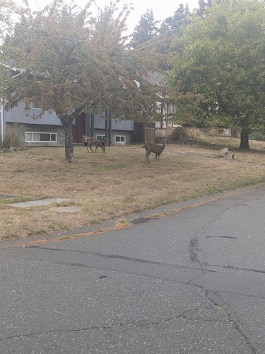
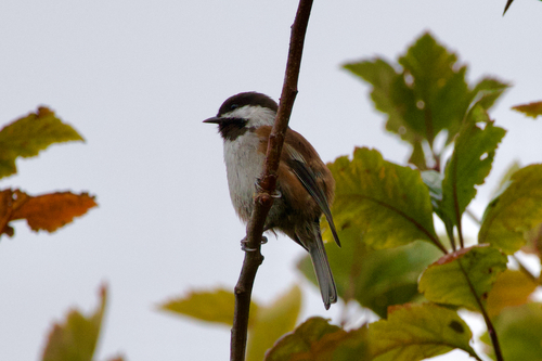
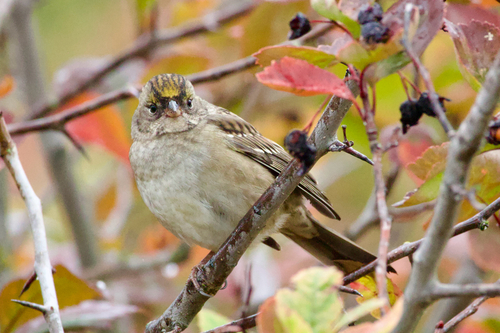
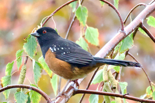
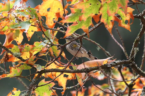
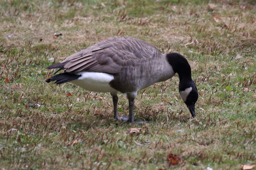
Research-grade observations from iNaturalist (within ~15 mi).
Events
Gallery
Official Identifiers
StatCan — Statistics Canada
- SGC code
- 5917047
- Population (Wikidata)
- 10,408
- Wikidata
- Q2484356
Standard Geographical Classification (SGC) via Wikidata P3012
Sources
- • Wikipedia
- • Wikidata
- • USGS Earthquake Catalog (global feed)
- • GBIF (Global Biodiversity Information Facility)
- • iNaturalist
- • Open-Meteo / sunrise-sunset.org
- • Wikipedia Pageviews API
- • Open Library
- • NASA EONET
- • StatCan — Statistics Canada — Standard Geographical Classification (SGC) via Wikidata P3012