Browse / Canada / Saskatchewan / Weyburn
Weyburn
Saskatchewancity

Weyburn
Total population
10,484
Founded
1894
Demographic figures from Statistics Canada. Overview below cites Wikipedia and may reference a different year.
City facts
Facts from Wikidata (CC0).
Overview
Weyburn is the tenth-largest city in Saskatchewan, Canada. The city had a population of 11,019 in 2021. It is on the Souris River 110 kilometres (68 mi) southeast of the provincial capital, Regina, and is 70 km (43 mi) north from the Canada–United States border adjoining North Dakota. The name "Weyburn" is reputedly a corruption of the Scottish "wee burn", referring to a small creek. The city is surrounded by the Rural Municipality of Weyburn No. 67.
Read more on WikipediaHistory & geography
History
The Canadian Pacific Railway (CPR) reached the future site of Weyburn from Brandon, Manitoba in 1892 and the Soo Line from North Portal on the US border in 1893. A post office opened in 1895 and a land office in 1899 in anticipation of the land rush which soon ensued. In 1899, Knox Presbyterian Church was founded with its building constructed in 1906 in the high-pitched gable roof and arches, standing as a testimony to the faith and optimism in the Weyburn area. Weyburn was legally constituted a village in 1900, a town in 1903 and finally as a city in 1913. From 1910 until 1931 the Weyburn Security Bank was headquartered in the city. Weyburn had since become an important railroad town in Saskatchewan – the Pasqua branch of the Souris, Arcola, Weyburn, Regina CPR branch; Portal Section of the CPR / Soo Line; Moose Jaw, Weyburn, Shaunavon, Lethbridge CPR section; the Brandon, Marfield, Carlyle, Lampman, Radville, Willow Bunch section of the Canadian National Railway (CNR); and the Regina, Weyburn, Radville, Estevan, Northgate CNR section have all run through Weyburn. Weyburn was previously home to the Souris Valley Mental Health Hospital, which was closed as a health care facility and sold in 2006, and demolished in 2009. When the mental hospital opened in 1921, it was the largest building in the British Commonwealth and was considered to be on the cutting edge of experimental treatments for people with mental disabilities. The facility had a reputation of leading the way in therapeutic programming. At its peak, the facility was home to approximately 2,500 patients. The history of the facility is explored in the documentary Weyburn: An Archaeology of Madness.
Geography
Weyburn is situated near the upper delta of the long Souris River. The Souris River continues southeast through North Dakota eventually meeting the Assiniboine River in Manitoba. In the 1800s, this area was known as an extension of the Greater Yellow Grass Marsh. Extensive flood control programs have created reservoirs, parks and waterfowl centres along the Souris River. Between 1988 and 1995, the Rafferty-Alameda Project was constructed to alleviate spring flooding problems created by the Souris River. Weyburn has a humid continental climate (Köppen Dfb) typical of Southern Saskatchewan.
Excerpted from the corresponding Wikipedia article (CC BY-SA).
Geography
Coordinates & boundaries from the US Census TIGER/Line shapefiles.
Climate
Air quality
Walkability
Amenities nearby
Wildlife & biodiversity
Most-observed species
- Red-winged BlackbirdAgelaius phoeniceus (Linnaeus, 1766) · Aves133
- Common GrackleQuiscalus quiscula (Linnaeus, 1758) · Aves111
- American RobinTurdus migratorius Linnaeus, 1766 · Aves109
- Mourning DoveZenaida macroura (Linnaeus, 1758) · Aves102
- Western MeadowlarkSturnella neglecta Audubon, 1844 · Aves100
- House SparrowPasser domesticus (Linnaeus, 1758) · Aves86
- Eastern KingbirdTyrannus tyrannus (Linnaeus, 1758) · Aves81
- MallardAnas platyrhynchos Linnaeus, 1758 · Aves80
Citizen-science & research observations from the Global Biodiversity Information Facility (GBIF).
Earthquake history
Events from the USGS Earthquake Catalog (global) (FDSN Event Web Service).
Photos
Sights & places nearby
Notable people from here


People born within ~10 km, from Wikidata (CC0). Click any name for their Wikipedia article.
Nearby places in Saskatchewan
- Sturgeon Lake275 mi away
- Big River303.7 mi away
- Four Corners372.2 mi away
- Turowice4728.5 mi away · pop. 360
- Rudzisko4728.9 mi away · pop. 55
- Petrykozy4729 mi away
- Bulianów4729.5 mi away · pop. 71
- Giełzów4729.6 mi away · pop. 400
- Dąbrowa4729.7 mi away
- Kamienna Wola4729.7 mi away · pop. 330
- Pląskowice4730 mi away · pop. 110
- Bernów4730.3 mi away · pop. 160
Geography & sun
Elevation, sunrise/sunset and daylight from Open-Meteo. Solar climatology from NASA POWER.
Nearby airports
Public attention
Pageview totals from the Wikimedia Pageviews API.
Books about Weyburn

Search results from Open Library.
Recent natural events nearby
- Wildfire Ayers Pond, Prairie, MontanaWildfires · 2026-09-03 · 213 mi
- Incident Complex Rattlesnake Complex, Prairie, MontanaWildfires · 2026-09-04 · 218 mi
- Wildfire Snow, Custer, MontanaWildfires · 2026-09-02 · 228 mi
Wildfires, storms and other events from NASA EONET (last 12 months, within 250 mi).
Ground air-quality sensors
Recently spotted species
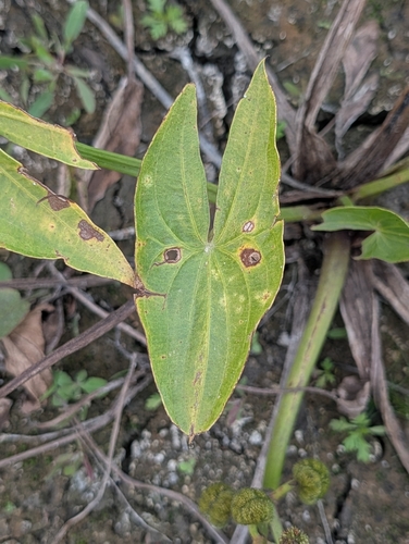
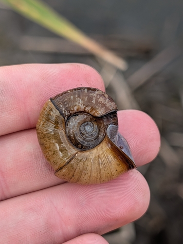
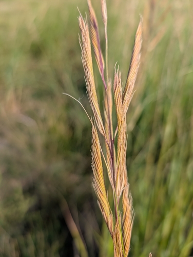
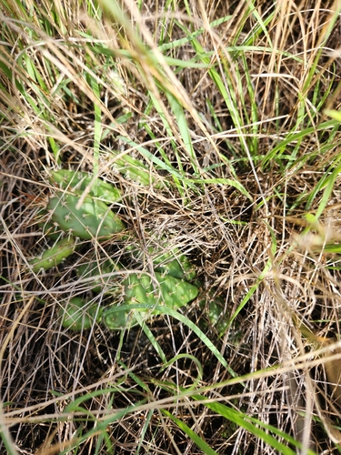
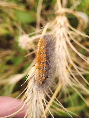


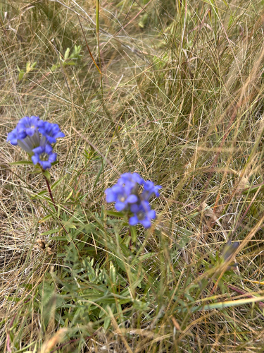
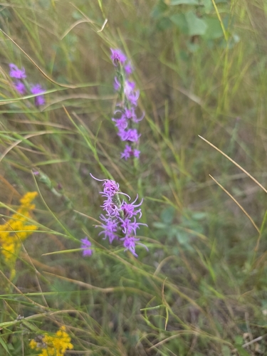
Research-grade observations from iNaturalist (within ~15 mi).
Events
Gallery
Official Identifiers
StatCan — Statistics Canada
- SGC code
- 4702047
- Population (Wikidata)
- 11,019
- Wikidata
- Q1904554
Standard Geographical Classification (SGC) via Wikidata P3012
Sources
- • Wikipedia
- • Wikidata
- • USGS Earthquake Catalog (global feed)
- • GBIF (Global Biodiversity Information Facility)
- • iNaturalist
- • Open-Meteo / sunrise-sunset.org
- • Wikipedia Pageviews API
- • Open Library
- • NASA EONET
- • StatCan — Statistics Canada — Standard Geographical Classification (SGC) via Wikidata P3012