Browse / Canada / British Columbia / Winter Harbour
Winter Harbour
British Columbiahamlet
No image yet
Total population
20
Coordinates50.52°, -128.03°
Demographic figures from Statistics Canada. Overview below cites Wikipedia and may reference a different year.
Loading additional data from public sources…0 / 11
CensusWikipediaWeatherPlacesPeopleEnvironmentHealth & SchoolsRelatedGeography & CultureLive MonitoringEvents & Gallery
0% completeCity facts
Overview
Winter Harbour is the westernmost settlement on the west coast about 41 kilometres (25 mi) from the northwest tip of Vancouver Island, British Columbia. This unincorporated community on Winter Harbour is on the northern side of Quatsino Sound at the mouth.
Read more on WikipediaHistory & geography
Geography
Latitude
50.5167
Longitude
-128.0333
Water area
—
Coordinates & boundaries from the US Census TIGER/Line shapefiles.
Climate
Air quality
Walkability
Amenities nearby
Wildlife & biodiversity
Earthquake history
Photos
Sights & places nearby
Notable people from here
Nearby places in British Columbia
- Holberg9.6 mi away · pop. 51
- Quatsino17.5 mi away
- Coal Harbour20.6 mi away · pop. 180
- Port Hardy27.5 mi away · pop. 4,008
- Fort Rupert30 mi away
- Port McNeill42 mi away · pop. 2,505
- Houpsitas44.3 mi away
- Alert Bay48.8 mi away · pop. 445
- Fair Harbour51.3 mi away
- Woss66.7 mi away · pop. 235
- Yuquot89.6 mi away
- Kelsey Bay91.3 mi away
Geography & sun
Avg solar (kWh/m²/day)
2.98
Annual solar (kWh/m²)
1,086
Elevation, sunrise/sunset and daylight from Open-Meteo. Solar climatology from NASA POWER.
Nearby airports
Public attention
Wikipedia views (last 30 days)
446
Avg daily Wikipedia views
15
Attention level
Obscure
Pageview totals from the Wikimedia Pageviews API.
Books about this place
Recent natural events nearby
Ground air-quality sensors
Recently spotted species
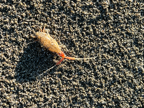
California Beach Flea
Megalorchestia californiana
Seen 2026-09-18
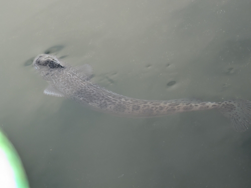
Ragfish
Icosteus aenigmaticus
Seen 2026-09-04
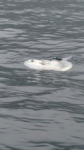
Common Mola
Mola mola
Seen 2026-08-30
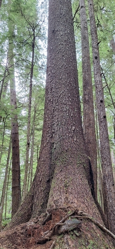
Sitka spruce
Picea sitchensis
Seen 2026-08-26
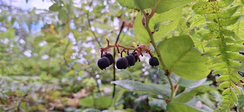
salal
Gaultheria shallon
Seen 2026-08-26
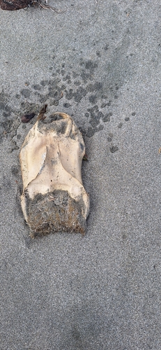
Big Skate
Beringraja binoculata
Seen 2026-08-26
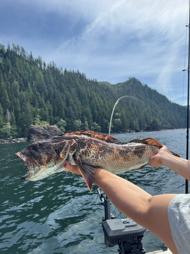
Lingcod
Ophiodon elongatus
Seen 2026-08-17
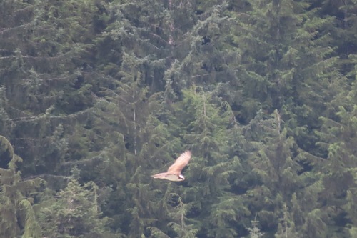
Osprey
Pandion haliaetus
Seen 2026-08-15
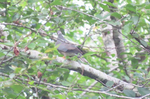
Band-tailed Pigeon
Patagioenas fasciata
Seen 2026-08-15
Research-grade observations from iNaturalist (within ~15 mi).
Events
Gallery
Sources
- • Wikipedia
- • Wikidata
- • iNaturalist
- • Open-Meteo / sunrise-sunset.org
- • Wikipedia Pageviews API