Browse / Canada / British Columbia / Xinupsum / Khenipsen
Xinupsum / Khenipsen
British Columbiavillage
Demographic figures from Statistics Canada. Overview below cites Wikipedia and may reference a different year.
City facts
Overview
Xinupsum / Khenipsen is a village in British Columbia, Canada. Geographically it lies in the northern hemisphere at a temperate latitude (48.767°, -123.631°). Up-to-date population figures for this locality are not available in the open datasets we monitor. Open solar datasets indicate about 1,269 kWh/m² of solar irradiance per year, combined with sunshine for roughly 50% of daylight hours. The latitude suggests four distinct seasons with warm summers and cold winters. Additional figures on demographics, climate, geography and points of interest appear in the sections that follow, all drawn from open public datasets.
Summary composed automatically from structured open data on this page. See our Terms for details.
History & geography
Geography
Coordinates & boundaries from the US Census TIGER/Line shapefiles.
Climate
Air quality
Walkability
Amenities nearby
Wildlife & biodiversity
Most-observed species
- American RobinTurdus migratorius Linnaeus, 1766 · Aves15,061
- Dark-eyed JuncoJunco hyemalis (Linnaeus, 1758) · Aves14,022
- Chestnut-backed ChickadeePoecile rufescens (J.K.Townsend, 1837) · Aves13,380
- Spotted TowheePipilo maculatus Swainson, 1827 · Aves13,210
- Anna's HummingbirdCalypte anna (R.Lesson, 1829) · Aves12,412
- Song SparrowMelospiza melodia (A.Wilson, 1810) · Aves11,114
- Glaucous-winged GullLarus glaucescens J.F.Naumann, 1840 · Aves11,042
- Common RavenCorvus corax Linnaeus, 1758 · Aves10,782
Citizen-science & research observations from the Global Biodiversity Information Facility (GBIF).
Earthquake history
Most recent
- M 2.51 — 2026-08-0911 km SSW of River Road, Washington
- M 3.8 — 2026-07-022 km E of Oak Harbor, Washington
- M 2.87 — 2026-06-082 km ESE of Oak Harbor, Washington
- M 2.56 — 2026-05-297 km ENE of Ferndale, Washington
- M 2.7 — 2026-04-275 km N of Anacortes, Washington
- M 2.7 — 2026-01-2612 km WSW of Anacortes, Washington
Events from the USGS Earthquake Catalog (global) (FDSN Event Web Service).
Photos
Sights & places nearby
Notable people from here


People born within ~10 km, from Wikidata (CC0). Click any name for their Wikipedia article.
Nearby places in British Columbia
- Qw’umiyiqun / Comiaken0.8 mi away
- Lhumlhumuluts’ / Clemclemluts1.1 mi away
- Kwa’mutsun / Quamichan2 mi away
- Xwulqw’selu / Koksilah2.5 mi away
- S’amuna’ / Somena3.7 mi away
- Glenora5.3 mi away
- Shawnigan Lake7.8 mi away · pop. 8,127
- Mill Bay8.7 mi away · pop. 1,546
- Spune’luxutth14.4 mi away
- Malahat14.4 mi away
- Cassidy22.7 mi away · pop. 971
- Honeymoon Bay25 mi away
Geography & sun
Elevation, sunrise/sunset and daylight from Open-Meteo. Solar climatology from NASA POWER.
Nearby airports
Public attention
Books about this place
Recent natural events nearby
- Wildfire Electric, Whatcom, WashingtonWildfires · 2026-08-22 · 100 mi
- Wildfire Thunder Creek, Skagit, WashingtonWildfires · 2026-08-22 · 120 mi
- Wildfire SISI, Chelan, WashingtonWildfires · 2026-08-14 · 131 mi
- Wildfire KING, Kittitas, WashingtonWildfires · 2026-08-19 · 141 mi
- Wildfire GOAT, Kittitas, WashingtonWildfires · 2026-08-22 · 149 mi
- Wildfire SINLAHEKIN, Okanogan, WashingtonWildfires · 2026-07-26 · 179 mi
- Wildfire PEARL HILL, Douglas, WashingtonWildfires · 2026-07-25 · 192 mi
- Wildfire RANSIER, Yakima, WashingtonWildfires · 2026-07-26 · 214 mi
Wildfires, storms and other events from NASA EONET (last 12 months, within 250 mi).
Ground air-quality sensors
Recently spotted species
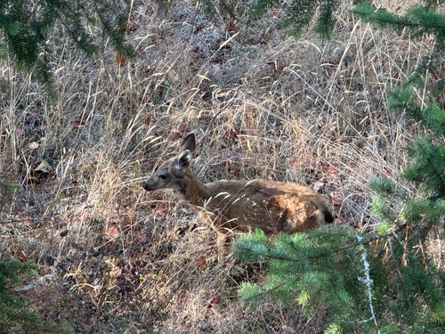
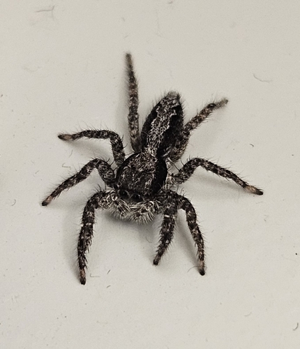
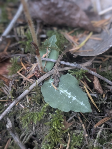
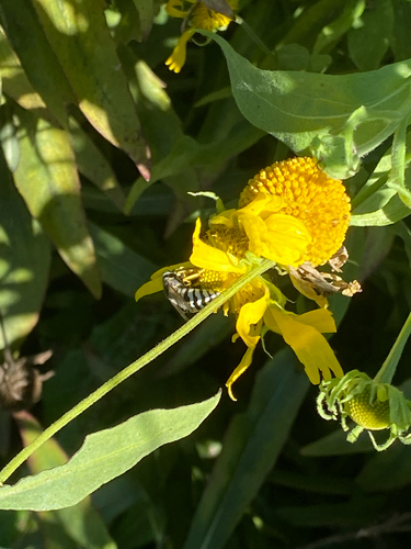
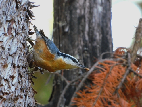
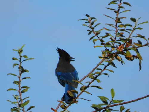
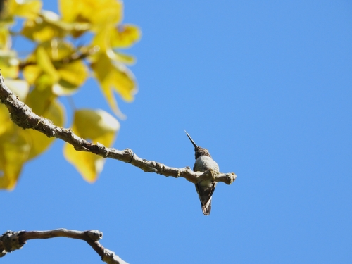
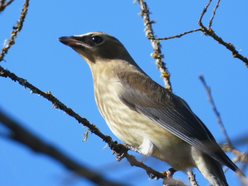
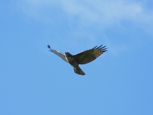
Research-grade observations from iNaturalist (within ~15 mi).
Events
Gallery
Sources
- • Wikidata
- • USGS Earthquake Catalog (global feed)
- • GBIF (Global Biodiversity Information Facility)
- • iNaturalist
- • Open-Meteo / sunrise-sunset.org
- • NASA EONET