Browse / Canada / Northwest Territories / Yellowknife
Yellowknife
Northwest Territoriescity

Yellowknife
Total population
19,234
Founded
1936
Demographic figures from Statistics Canada. Overview below cites Wikipedia and may reference a different year.
City facts
Facts from Wikidata (CC0).
Overview
Yellowknife is the capital, largest community, and the only city in the Northwest Territories, Canada. It is on the northern shore of Great Slave Lake, about 400 kilometres (250 mi) south of the Arctic Circle, on the west side of Yellowknife Bay near the outlet of the Yellowknife River.
Read more on WikipediaHistory & geography
History
The area around the community is the historic and traditional home of the Yellowknives Dene, the land's First Nations residents. Dettah was the first formal settlement in the area, which was founded by the Yellowknives in the 1930s and located on a point of land on the east side of Yellowknife Bay. The name Dettah means Burnt Point and refers to a traditional fishing camp that the Dene used for hundreds of years. The current municipal area of Yellowknife was first occupied by prospectors who ventured into the region in the mid-1930s. A Klondike-bound prospector, E.A. Blakeney, made the first discovery of gold in the Yellowknife Bay area in 1898. The discovery was viewed as unimportant in those days because of the Klondike Gold Rush and because Great Slave Lake was too far away to attract attention. In the late 1920s, aircraft were first used to explore Canada's Arctic regions. Samples of uranium and silver were uncovered at Great Bear Lake in the early 1930s, and prospectors began fanning out to find additional metals. In 1933 two prospectors, Herb Dixon and Johnny Baker, canoed down the Yellowknife River from Great Bear Lake to survey for possible mineral deposits. They found gold samples at Quyta Lake, about up the Yellowknife River, and some additional samples at Homer Lake. The following year, Johnny Baker returned as part of a larger crew to develop the previous gold finds and search for more. Gold was found on the east side of Yellowknife Bay in 1934 and the short-lived Burwash Mine was developed. When government geologists uncovered gold in more favourable geology on the west side of Yellowknife Bay in the fall of 1935, a small staking rush occurred. From 1935 to 1937, one prospector and trapper named Winslow C. Ranney staked in the area between David Lake…
Geography
Yellowknife is on the Canadian Shield, which was scoured down to rock during the last ice age. Trees such as spruce and birch are abundant in the area, as are smaller bushes, but there are also many areas of relatively bare rock with lichen. Yellowknife's high latitude causes a large variation between day and night. Daylight hours range from five hours of daylight in December to 20 hours in June. Civil Twilight lasts all night from late May to mid-July. Yellowknife has a subarctic climate (Köppen: Dfc, Trewartha Ecld). Although winter is predominantly polar, rapid heat waves emerge at the summit of summer due to the immense path south. The city averages less than of precipitation annually, as it lies in the rain shadow of mountain ranges to the west. In an occasional year, the first fall frost does not come until October. Most of the limited precipitation falls between June and September, with April being the driest month of the year and August having the most rainfall. Snow that falls in winter accumulates on the ground until the spring thaw. Yellowknife experiences very cold winters and mild to warm summers. The average temperature in January is around and in July. The lowest temperature ever recorded in Yellowknife was on 31 January 1947, and the highest was on 2 August 2021. The area has elevated levels of arsenic due to the region's geology and past mining operations. The bedrock contains arsenopyrite, a naturally occurring mineral that contains arsenic, iron, and sulfur. Gold mining in the 20th century released large amounts of arsenic into the environment. The roasting process used to extract gold from arsenopyrite ores created arsenic trioxide as a byproduct, which was often released directly into the environment. The Giant Mine, which operated…
Excerpted from the corresponding Wikipedia article (CC BY-SA).
Geography
Coordinates & boundaries from the US Census TIGER/Line shapefiles.
Climate
Air quality
Walkability
Amenities nearby
Wildlife & biodiversity
Most-observed species
- Common RavenCorvus corax Linnaeus, 1758 · Aves2,541
- Black-billed MagpiePica hudsonia (Sabine, 1823) · Aves1,709
- MallardAnas platyrhynchos Linnaeus, 1758 · Aves1,323
- Ring-billed GullLarus delawarensis Ord, 1815 · Aves1,240
- Yellow-rumped WarblerSetophaga coronata (Linnaeus, 1766) · Aves1,198
- American WigeonMareca americana (J.F.Gmelin, 1789) · Aves1,191
- American herring gull, Smithsonian GullLarus smithsonianus Coues, 1862 · Aves1,117
- Bonaparte's GullChroicocephalus philadelphia (Ord, 1815) · Aves1,104
Citizen-science & research observations from the Global Biodiversity Information Facility (GBIF).
Earthquake history
Events from the USGS Earthquake Catalog (global) (FDSN Event Web Service).
Photos
Sights & places nearby
Notable people from here


People born within ~10 km, from Wikidata (CC0). Click any name for their Wikipedia article.
Nearby places in Northwest Territories
- Ndilǫ1.9 mi away
- Behchokǫ̀55.9 mi away · pop. 1,926
- Hay River122.3 mi away · pop. 3,606
- Gamèti147.2 mi away
- Bell Rock184.6 mi away
- Jean Marie River212.6 mi away
- Sambaa K'e265.8 mi away
- Fort Good Hope499.1 mi away
- Paulatuk547.5 mi away · pop. 294
- Ulukhaktok579.7 mi away · pop. 402
- Letty Harbour581.5 mi away
- Fort Collinson640 mi away
Geography & sun
Elevation, sunrise/sunset and daylight from Open-Meteo. Solar climatology from NASA POWER.
Nearby airports
Public attention
Pageview totals from the Wikimedia Pageviews API.
Books about Yellowknife

Search results from Open Library.
Recent natural events nearby
Ground air-quality sensors
Recently spotted species
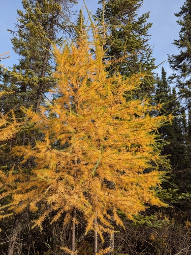
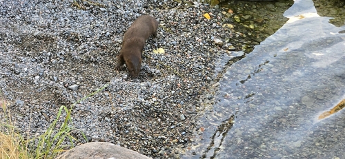
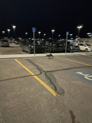
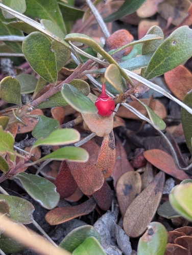
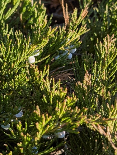
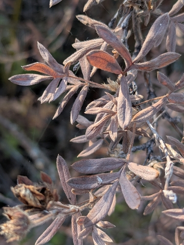
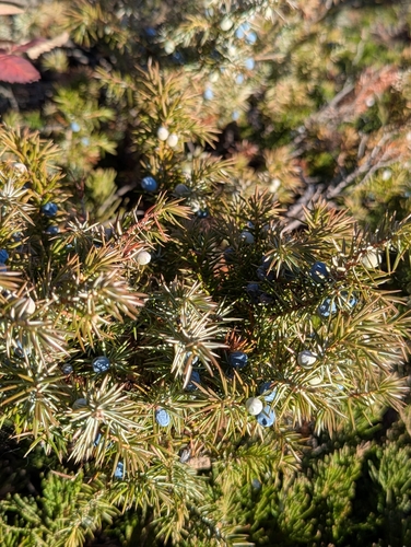
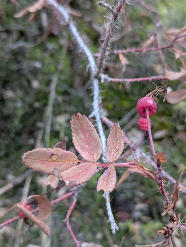
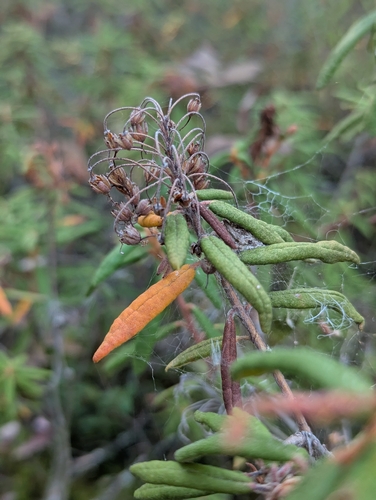
Research-grade observations from iNaturalist (within ~15 mi).
Events
Gallery
Geotagged photos within ~6 miles of Yellowknife, from Wikimedia Commons contributors.
.JPG)
.JPG)
.JPG)
.JPG)
.JPG)


.jpg)
.jpg)
.jpg)
.jpg)
.jpg)
.jpg)
.jpg)
.jpg)
.jpg)
.jpg)
.jpg)

_(alexthepuffin)_2017-06-25_12H36M12S000.jpg)
_(alexthepuffin)_2017-06-25_12H36M14S000.jpg)
_(alexthepuffin)_2017-06-25_12H36M16S000.jpg)
_(alexthepuffin)_2017-06-25_12H36M18S000.jpg)
_(alexthepuffin)_2017-06-25_12H36M20S000.jpg)
Photos via Wikimedia Commons — see each image page for license & attribution.
Official Identifiers
StatCan — Statistics Canada
- SGC code
- 6106023
- Population (Wikidata)
- 20,340
- Wikidata
- Q2061
Standard Geographical Classification (SGC) via Wikidata P3012
Sources
- • Wikipedia
- • Wikimedia Commons
- • Wikidata
- • USGS Earthquake Catalog (global feed)
- • GBIF (Global Biodiversity Information Facility)
- • iNaturalist
- • Open-Meteo / sunrise-sunset.org
- • Wikipedia Pageviews API
- • Open Library
- • StatCan — Statistics Canada — Standard Geographical Classification (SGC) via Wikidata P3012